Top 9 Mountain Passes around Mont-Dore
Best mountain passes around Mont-Dore are found within the Auvergne Volcanoes Regional Park, a region characterized by dramatic volcanic landscapes and high-altitude routes. The area offers challenging terrain and rewarding views, often centered around the Puy de Sancy, the highest peak in the Massif Central. These routes provide experiences similar to traditional mountain passes, featuring ridges and ascents. Mont-Dore's appeal lies in its combination of volcanic geology and abundant hiking opportunities.
Best mountain passes around Mont-Dore
- The most popular mountain…
Last updated: October 13, 2026
Courre Pass
Highlight • Mountain Pass
It makes the junction between the paths that lead to …
Translated by Google •
Tip by

Route du col de la Croix Saint-Robert
Highlight (Segment) • Mountain Pass
Translated by Google •
Tip by

Sign up now to discover places like this
Get recommendations on the best single tracks, peaks, & plenty of other exciting outdoor places.
Guéry Pass
Highlight • Mountain Pass
Translated by Google •
Tip by

Donkey's Pass
Highlight • Mountain Pass
Be careful, this part of the path can be dizzying.
In winter, it is accessible by chairlift.
Translated by Google •
Tip by
View of Roches Tuilière and Sanadoire
Highlight • Viewpoint
Translated by Google •
Tip by

Sign up for free to discover even more mountain passes around Mont-Dore.
Already have an account?
Start today with a free account
Your next adventure awaits.
Popular around Mont-Dore
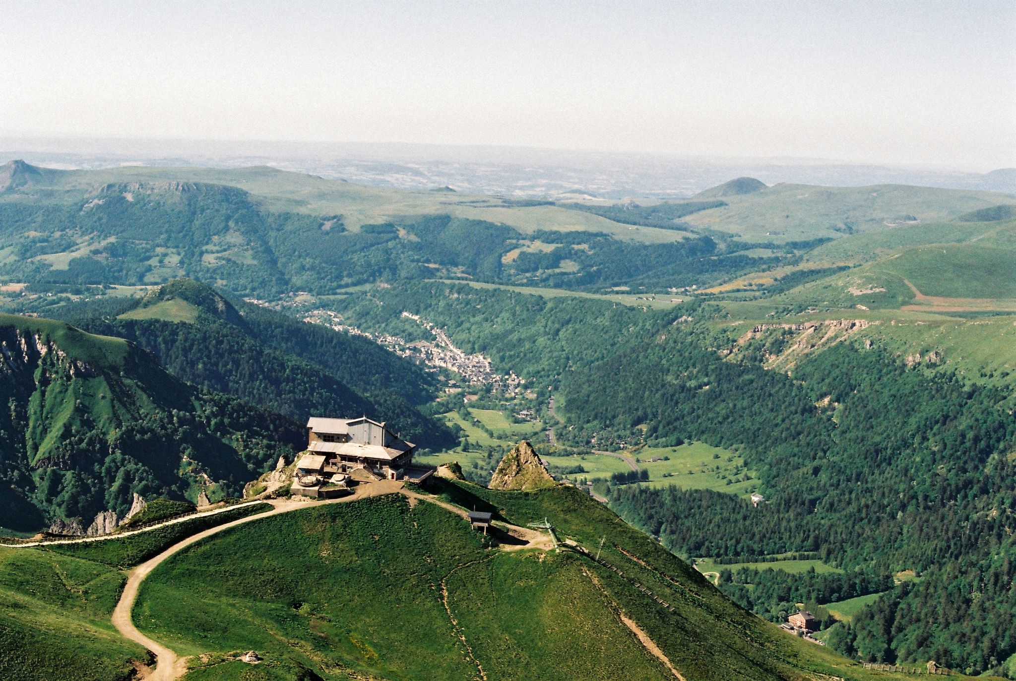
Crossing the volcanoes of Auvergne – Stromboliens, peléens and maars

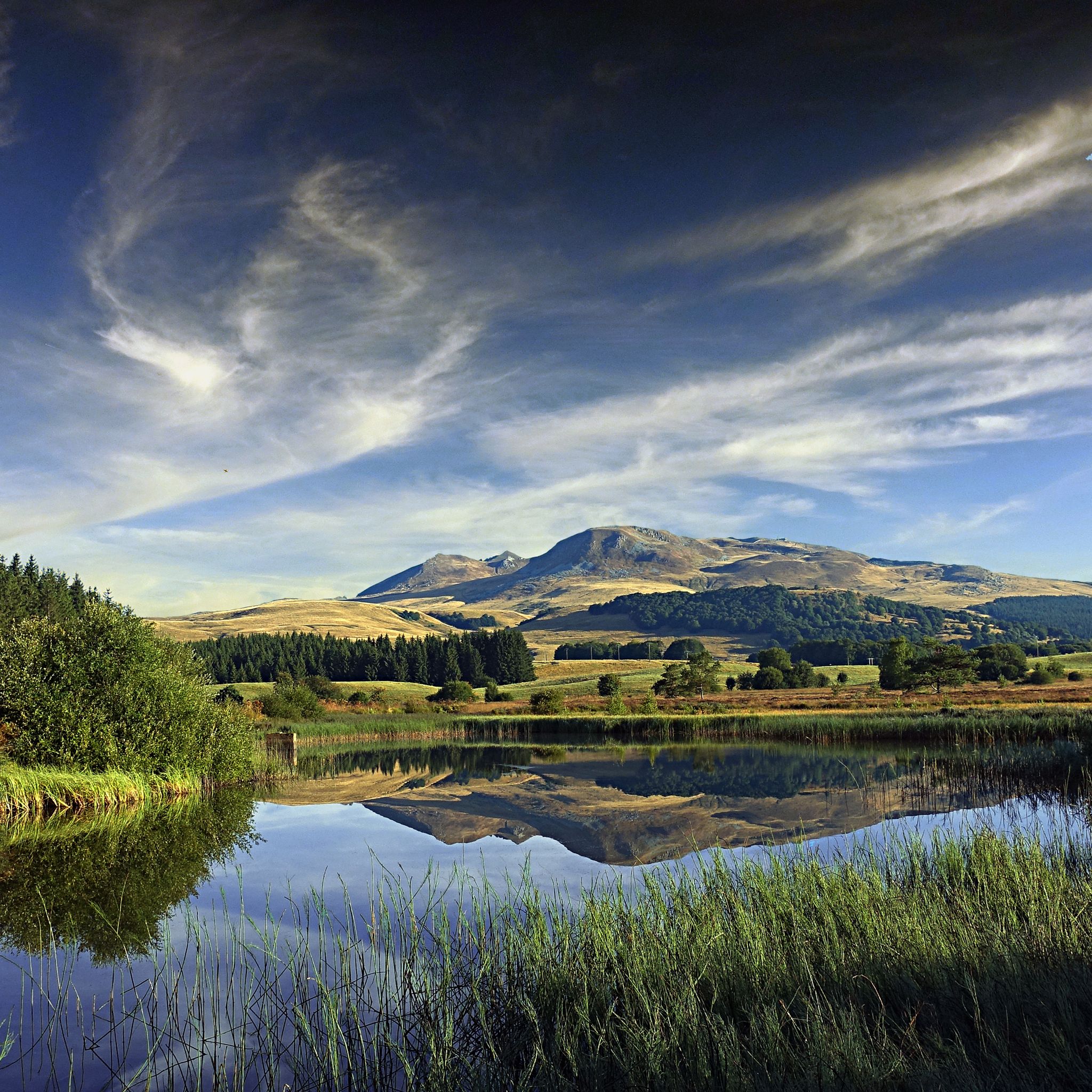
Hiking to the summits – France's highest points
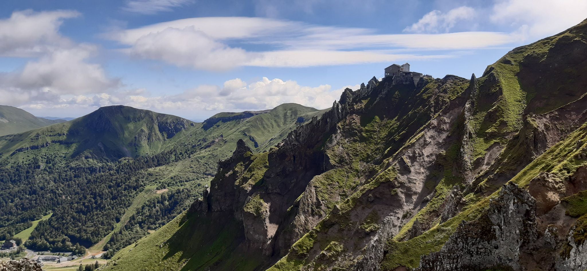
Cycling the black route loop – Tour du Sancy
Volcanic walk in scenic Auvergne – Sancy loop, long version
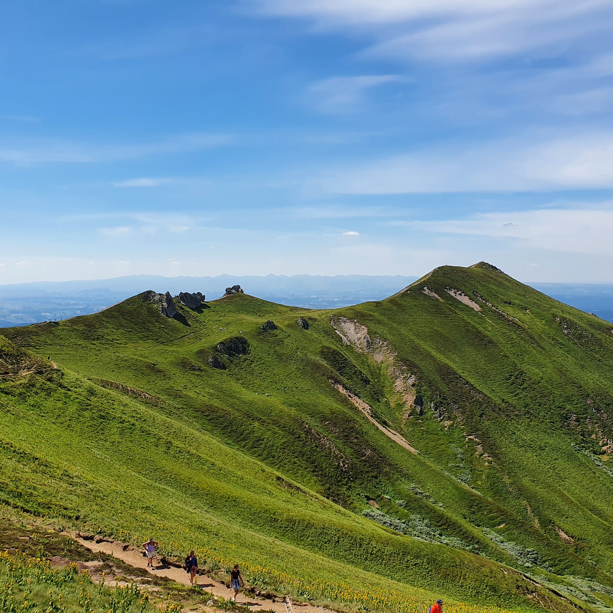
Hiking around Mont-Dore
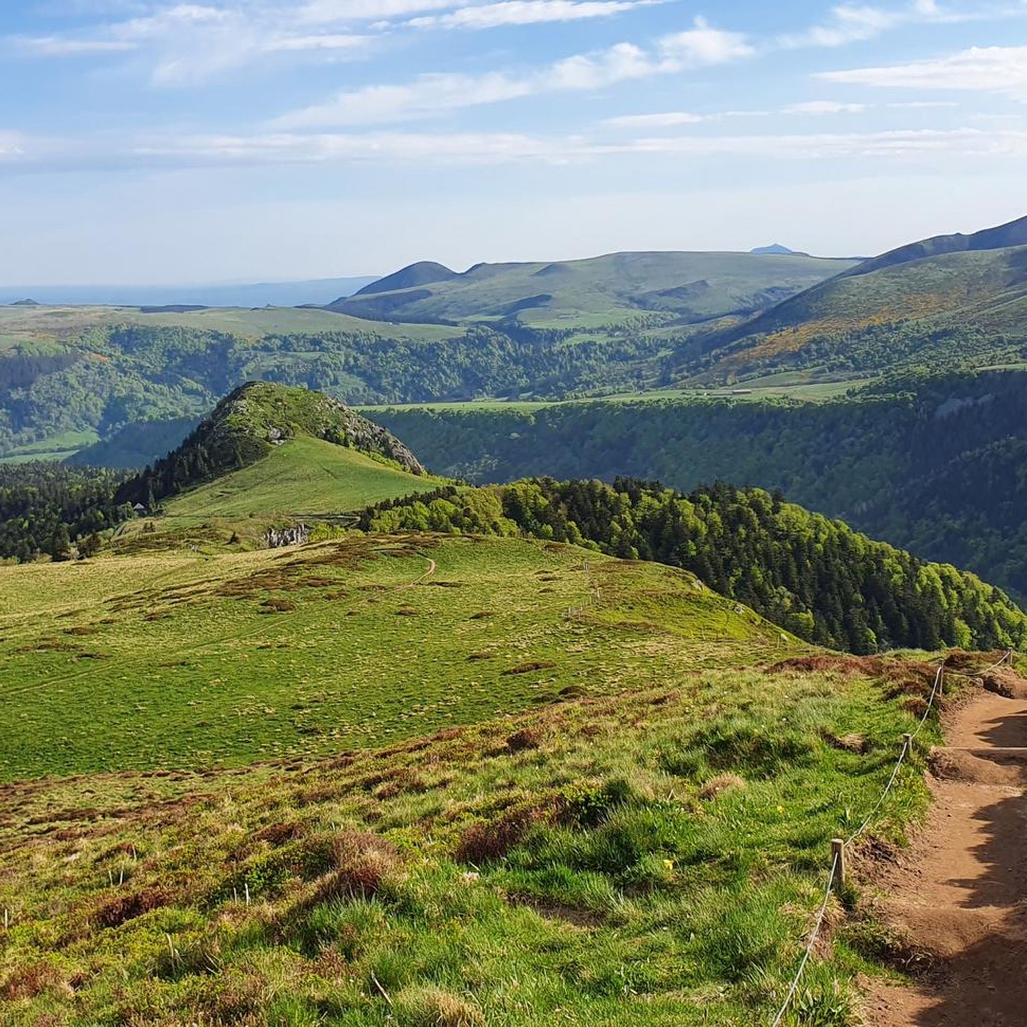
Running Trails around Mont-Dore
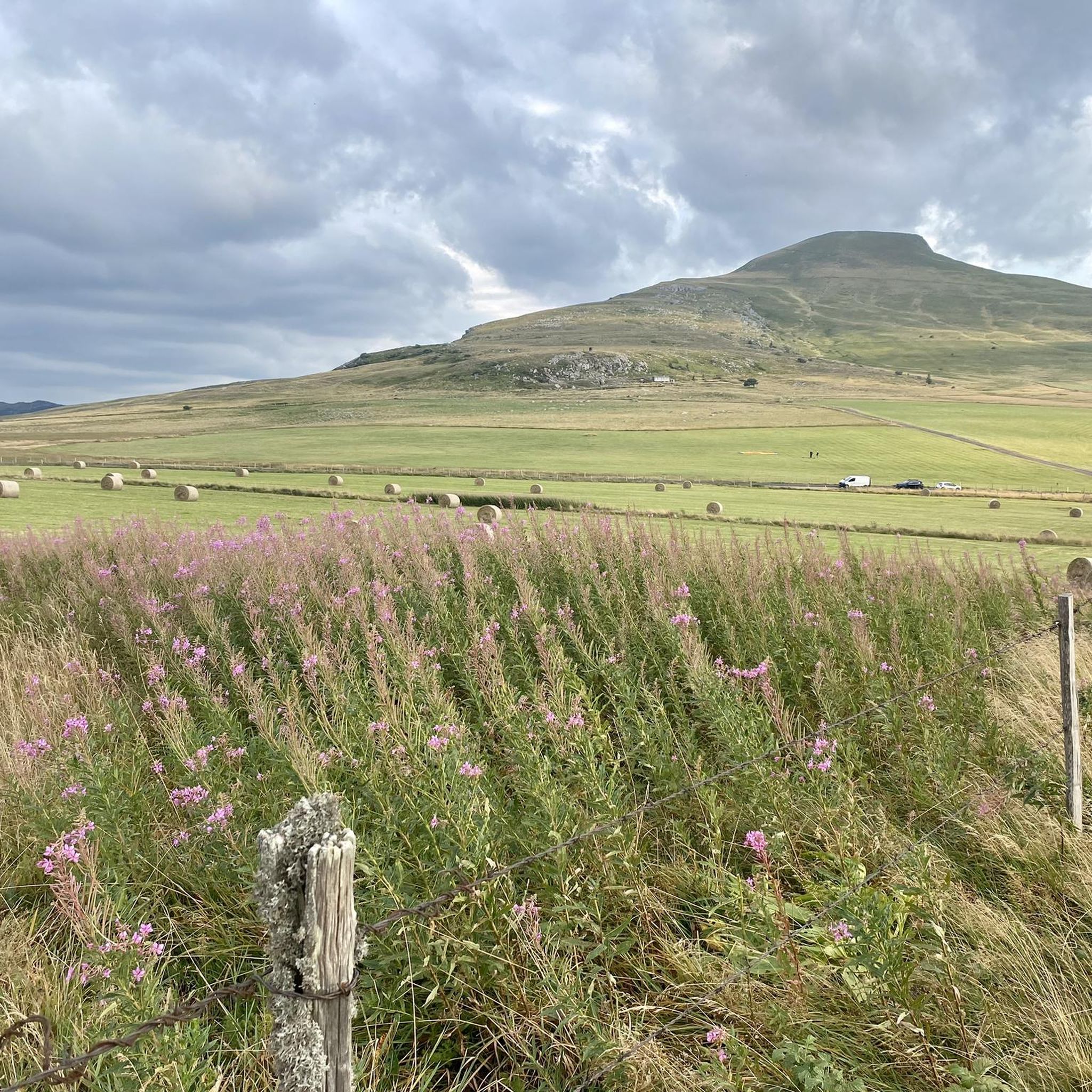
Road Cycling Routes around Mont-Dore
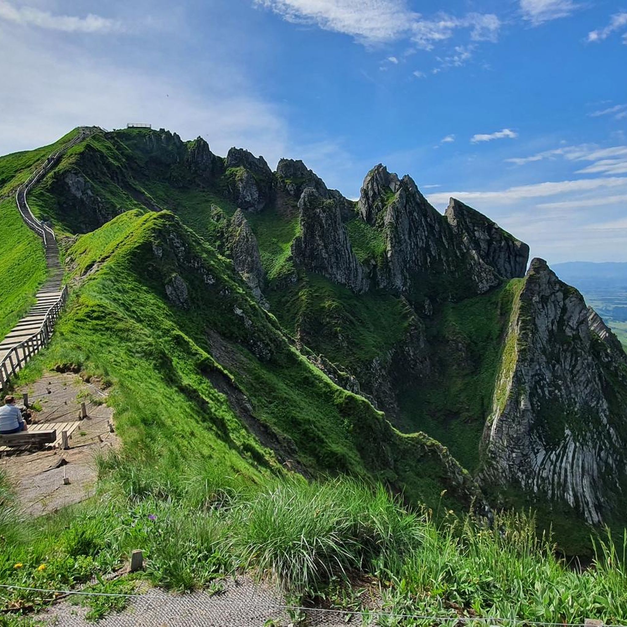
Cycling around Mont-Dore
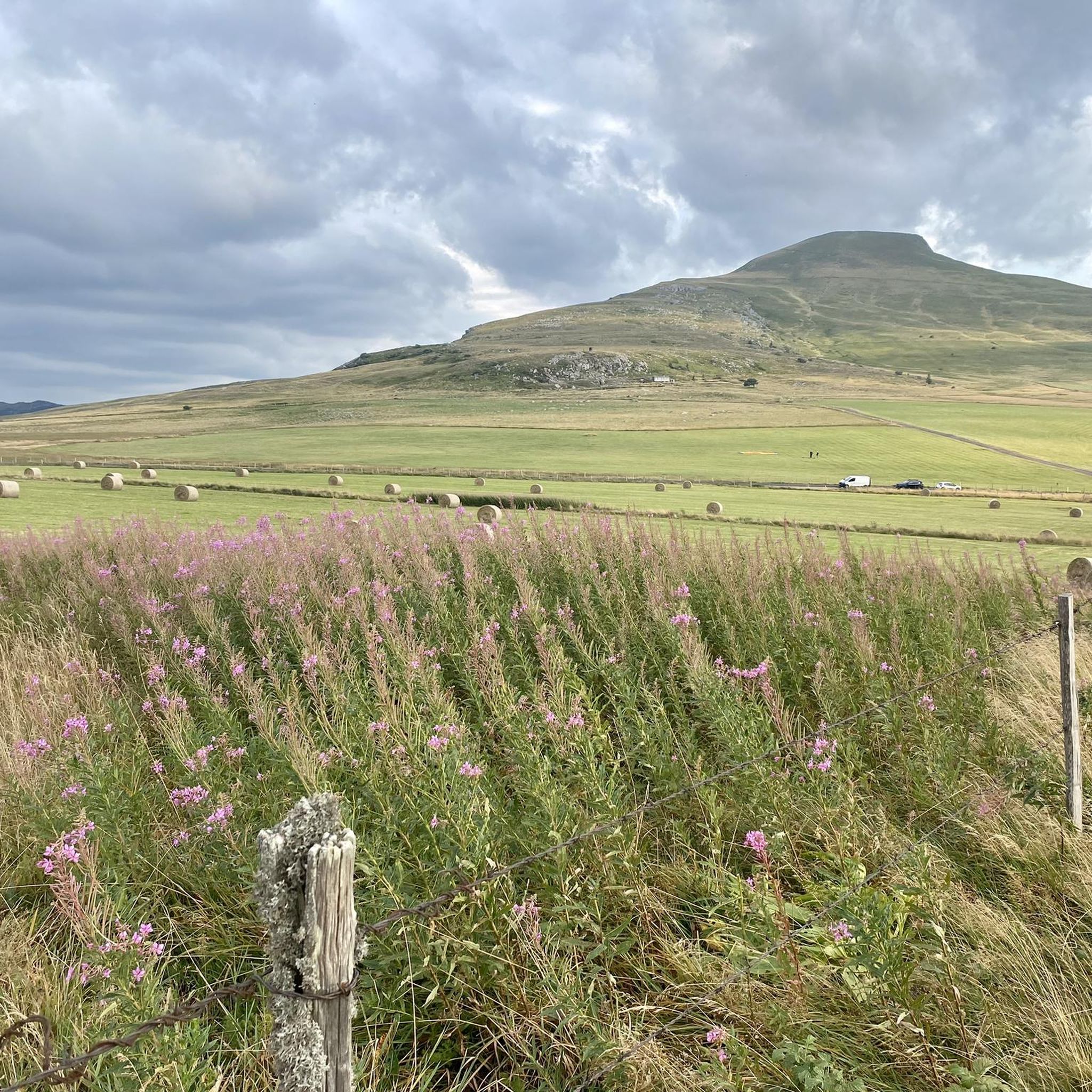
MTB Trails around Mont-Dore

Gravel biking around Mont-Dore
Other adventures around Mont-Dore


Tips from the Community


Tuilière and Sanadoire Rocks. Certainly one of the most beautiful viewpoints in the department!
0
0

A little difficult given the snow still present but a magnificent view!
0
0


very little traffic, a superb panorama and autumn colours
0
0

Breathtaking view of the Tuilliere and Sanadoire rocks, remains of two volcanoes. They mark the northern entrance to the Sancy massif and watch over Lake Guéry.
0
0

The Col de Guéry, located in the heart of the Auvergne region, offers a picturesque mountain pass experience amidst the volcanic landscapes of the Massif Central. At an altitude of approximately 1,267 metres, the pass offers stunning views of Lake Guéry below, the highest lake in Auvergne. The region is known for its tranquil beauty, with rolling meadows, dramatic volcanic peaks and forests that change colour with the seasons. Nearby Roche Sanadoire and Roche Tuilière add to the spectacular scenery, making it a perfect stop on your hike.
1
0
Frequently Asked Questions
What kind of terrain can I expect on the mountain passes around Mont-Dore?
The mountain passes and high-altitude routes around Mont-Dore are characterized by dramatic volcanic landscapes. You'll find challenging terrain with significant elevation changes, volcanic ridges, and ascents, particularly around the majestic Puy de Sancy. These routes offer experiences similar to traditional mountain passes, with breathtaking panoramic views.
Are there any particularly scenic viewpoints among the mountain passes?
Yes, the region is rich in stunning viewpoints. For instance, Guéry Pass offers tranquil beauty and stunning views of Lake Guéry, the highest lake in Auvergne. Nearby, the View of Roches Tuilière and Sanadoire provides an iconic panoramic vista of these distinctive rock formations.
What is the best time of year to visit the mountain passes in Mont-Dore?
The best time to visit is generally from late spring to early autumn (May to October) when the weather is milder and trails are clear of snow. During these months, you can fully appreciate the rolling meadows and dramatic volcanic peaks. In winter, some parts, like Donkey's Pass, are accessible by chairlift, offering a different, snow-covered experience, but require appropriate gear like crampons for hiking.
Are there family-friendly options for exploring the high-altitude areas?
While many routes involve challenging ascents, some areas offer easier access to stunning views. For example, the Pic du Capucin, accessible by France's oldest funicular railway, provides superb panoramas without a strenuous climb. The area around Lac de Guéry also offers picturesque hikes that can be suitable for families, depending on the chosen trail's length and difficulty.
What outdoor activities can I do near these mountain passes?
The Mont-Dore region is a hub for outdoor enthusiasts. Besides hiking and exploring the passes, you can find numerous routes for running, gravel biking, and cycling. For running, explore options like the challenging 'The Sancy West loop' or 'The waterfalls - circuit trail'. Cyclists can enjoy routes such as 'Lac de Guéry – Croix Morand Pass loop' or 'Col de la croix Saint-Robert – Chaudefour Valley loop'. You can find more details on these activities in the Running Trails around Mont-Dore, Gravel biking around Mont-Dore, and Cycling around Mont-Dore guides.
How difficult are the mountain pass hikes around Mont-Dore?
The difficulty varies significantly. Some routes, particularly those along the Sancy volcanic crest trail or connecting to Puy de Sancy, are considered challenging and rewarding for experienced hikers. For instance, Courre Pass, peaking at 1,720 meters, is part of a dramatic setting that can be included in a 19km horseshoe route taking in high points. However, there are also easier paths and accessible viewpoints for those seeking less strenuous options.
Is public transport available to access the mountain passes?
Mont-Dore itself is a well-known resort town. While specific public transport directly to every pass trailhead might be limited, the town serves as a good base. From Mont-Dore, you can often find local services or access points to start your adventures. For some high-altitude points like Puy de Sancy, a cable car is available, followed by a short ascent.
Are there any circular walks or loop trails that incorporate mountain passes?
Yes, the region offers several circular walks and loop trails that allow you to experience the mountain passes and volcanic landscapes. Many routes are designed to take in multiple viewpoints and passes, providing varied terrain and stunning vistas. For example, a 19km horseshoe route takes in all the high points of the Mont-Dore area, including Courre Pass and Puy de Sancy.
What natural features, beyond the passes, are worth seeing?
Beyond the passes themselves, the region boasts several remarkable natural features. The Puy de Sancy, the highest peak in the Massif Central, offers magnificent panoramas. The Vallée de Chaudefour is known for its natural beauty and diverse hiking terrain. Additionally, Lac de Guéry, a volcanic lake, is a picturesque starting point for ridge hikes, and the distinctive Roches Tuilière and Sanadoire are prominent geological landmarks.
What do visitors enjoy most about the mountain passes around Mont-Dore?
Visitors consistently praise the breathtaking panoramic views, especially from high points like Puy de Sancy and Route du col de la Croix Saint-Robert, which offers wide views over grassy mountains and a terrific silence. The dramatic volcanic landscapes, the challenging yet rewarding hikes, and the tranquil beauty of areas like Guéry Pass are frequently highlighted as key attractions.
Can I find cafes or accommodation near the mountain passes?
Mont-Dore is a well-established tourist town with various accommodation options, cafes, and restaurants. While you might not find facilities directly on every pass, many trailheads are accessible from Mont-Dore or nearby villages, where you can find amenities. It's advisable to carry sufficient water and snacks for your hike, especially on longer or more remote routes.
Are dogs allowed on the trails around the mountain passes?
The Auvergne Volcanoes Regional Park generally welcomes dogs, but it's crucial to keep them on a leash, especially in areas with livestock or protected wildlife. Always check specific trail regulations or local signage, as rules can vary. Ensure your dog is fit for the terrain and carry water for them.
Most popular routes around Mont-Dore
Most popular attractions around Mont-Dore

Get inspired with the komoot mobile app


Explore more
See even more epic mountain passes by checking out these guides around Mont-Dore:
