The best mountain hikes around Chastreix
4.6
(14)
74
hikers
11
hikes
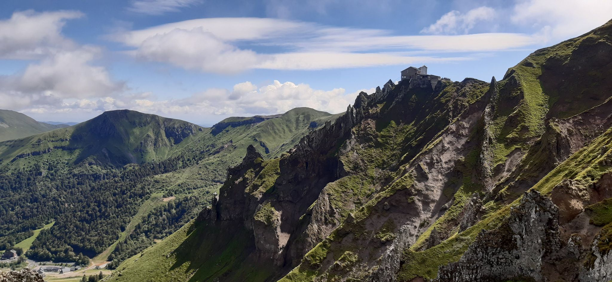
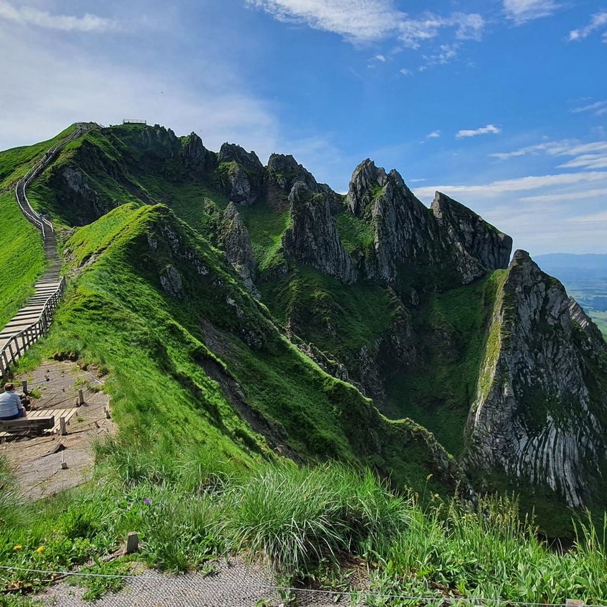
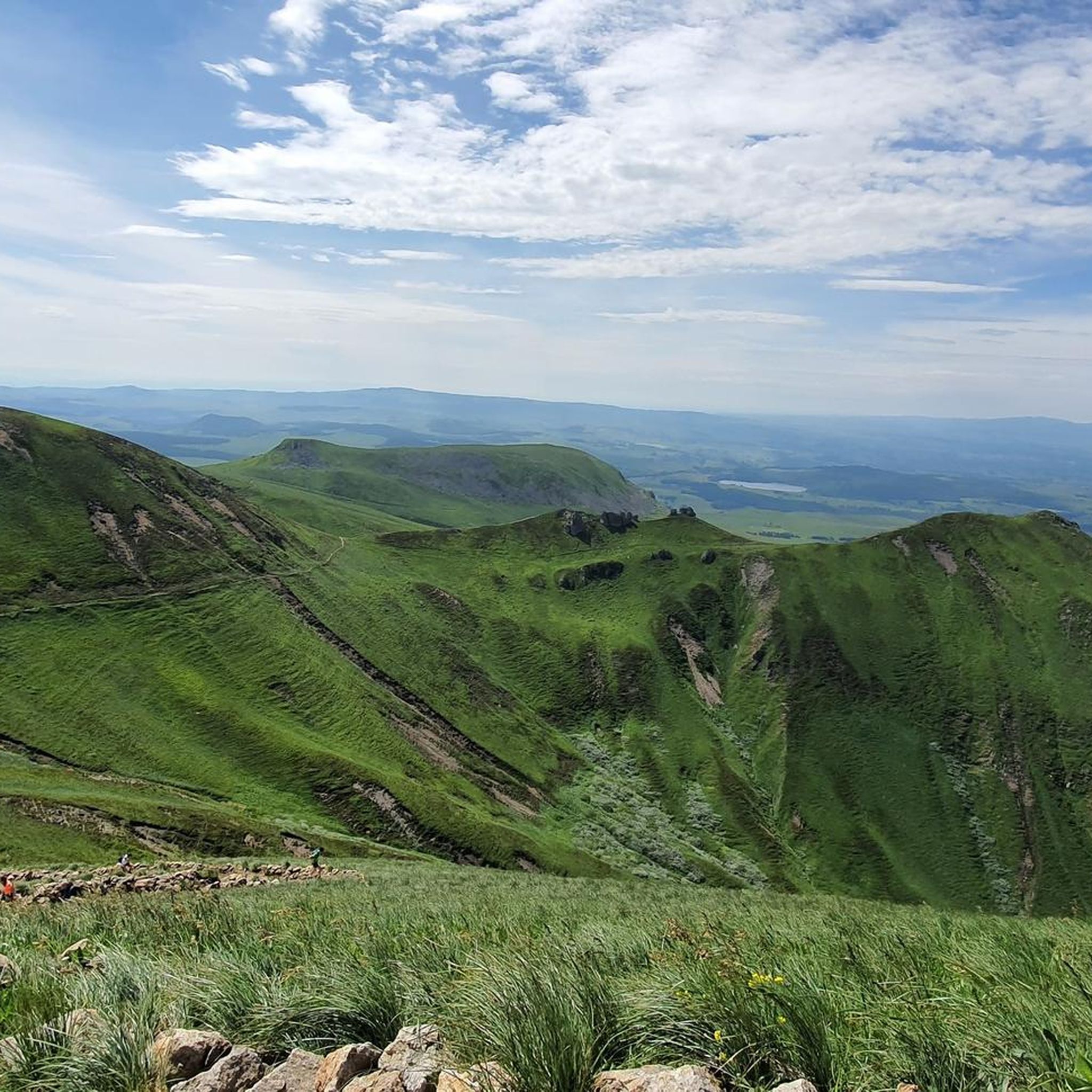
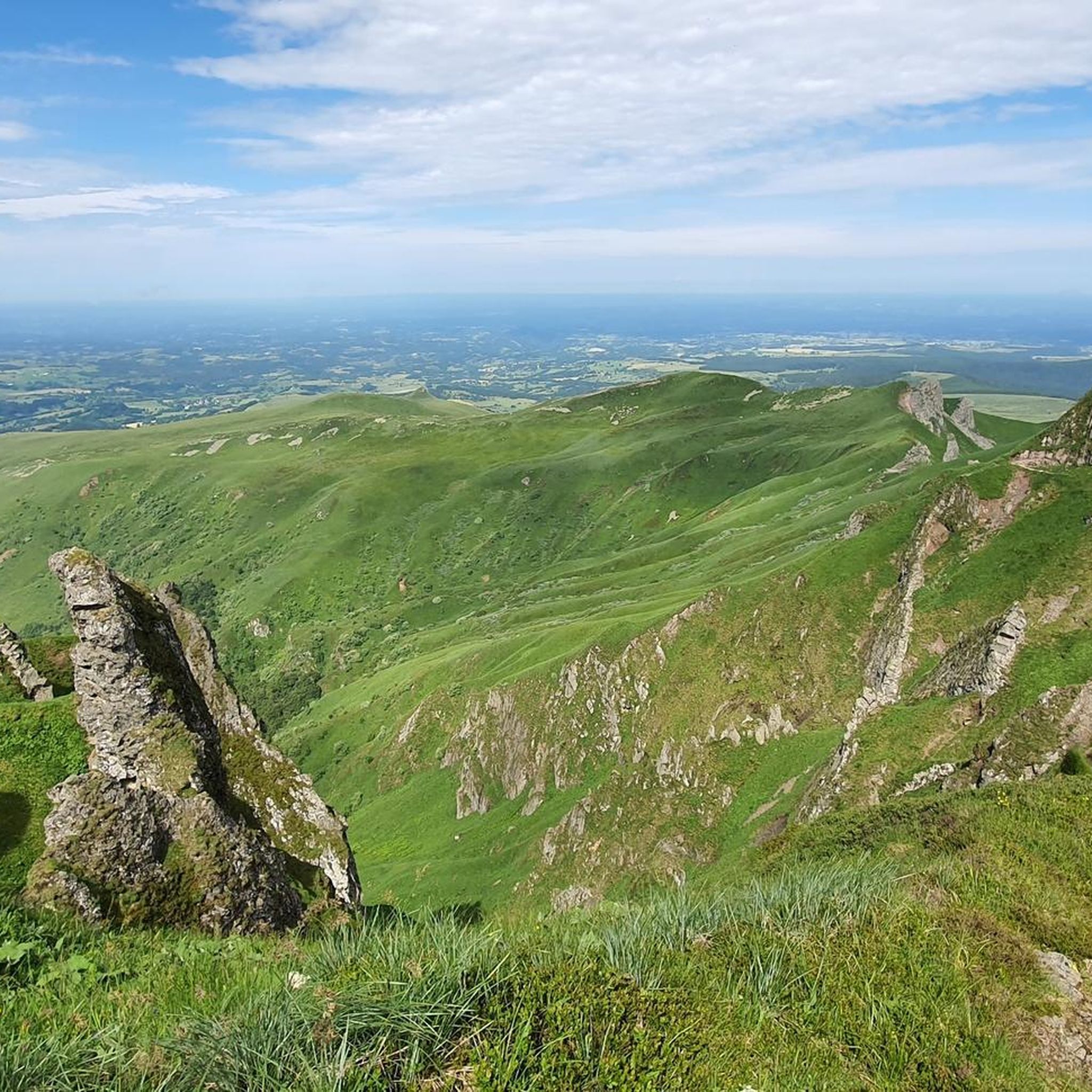
Mountaineering routes around Chastreix are situated in France's Massif Central, within the Auvergne region, offering diverse natural landscapes. The area is characterized by the Puy de Sancy, the highest peak in the Massif Central at 1,886 meters, alongside craggy formations, lush valleys, and dense spruce and beech forests. The Chastreix-Sancy National Nature Reserve encompasses varied topography, including the glacial corrie of Fontaine Salée Valley with its cliffs, altitude lawns, and peat bogs.
Best mountaineering routes around Chastreix
- The most popular…
Last updated: June 29, 2026
4.0
(1)
13
hikers
11.2km
04:10
680m
680m
Moderate mountaineering route. Good fitness required. Mostly accessible paths. Sure-footedness required.
4.3
(4)
15
hikers
8.13km
03:02
510m
510m
Moderate mountaineering route. Good fitness required. Mostly accessible paths. Sure-footedness required.

Sign up for free
5.0
(1)
9
hikers
5.08km
02:03
400m
400m
Moderate mountaineering route. Good fitness required. Easily-accessible paths. Suitable for all skill levels.
4.5
(2)
7
hikers
11.2km
04:25
580m
580m
Moderate mountaineering route. Good fitness required. Mostly accessible paths. Sure-footedness required.
7
hikers
3.33km
01:25
180m
180m
Hard mountaineering route. Great for any fitness level. Sure-footedness, sturdy shoes and alpine experience required.
Get access to more routes and recommendations from other explorers.
Sign up for free
Already have an account?
Our route recommendations are based on thousands of hikes, rides, and runs completed by other people on komoot.
Start today with a free account
Your next adventure awaits.
Login or Signup

Other adventures around Chastreix

Tips from the Community

you have to have ridden it to understand
0
0

It's amazing how these puny source streams can become such a magnificent river, until it flows into the Atlantic as the Gironde.
0
0
This is a popular hiking area in the Auvergne Volcanoes Nature Park. Those who want to hike in nature should set off early.
1
0


Very impressive prospects, good to go.
0
0
Very impressive prospects, good to go.
1
0
Frequently Asked Questions
How many mountaineering routes are available around Chastreix?
There are 14 mountaineering routes documented around Chastreix, offering a range of experiences from easy to difficult. This includes 1 easy route, 8 moderate routes, and 5 challenging routes, ensuring options for various skill levels.
What are the typical difficulty levels for mountaineering in Chastreix?
Mountaineering routes in Chastreix cater to a wide range of abilities. You'll find routes classified as easy, moderate, and difficult. The majority, 8 out of 14, are considered moderate, providing a good balance of challenge and accessibility. There is 1 easy route for beginners and 5 difficult routes for more experienced mountaineers.
Are there any circular mountaineering routes in Chastreix?
Yes, many of the mountaineering routes in Chastreix are circular, allowing you to start and end at the same point. For example, consider the Puy Redon – Tour Carrée loop from Les Longes, a moderate 9.96 km route, or the Puy de Sancy – Col de la Cabane loop from Puy de Sancy, which is 7.73 km long and also moderate.
What kind of landscapes can I expect to see on mountaineering routes in Chastreix?
Chastreix offers incredibly diverse landscapes. You'll traverse volcanic peaks, craggy formations, and lush valleys. The region is characterized by dense spruce and beech forests, alpine meadows, and the stunning glacial corrie of Fontaine Salée Valley, with its unique cliffs and peat bogs. The highest point, Puy de Sancy, provides panoramic views.
What are some notable peaks or landmarks to explore while mountaineering in Chastreix?
The region is rich with impressive peaks and natural landmarks. The most prominent is Puy de Sancy, the highest peak in the Massif Central. Other notable summits include La Banne d'Ordanche, Puy des Crebasses, and Puy Redon. You can also explore mountain passes like Courre Pass.
What is the best time of year for mountaineering in Chastreix?
The best time for mountaineering in Chastreix generally depends on your preferred conditions. While the region offers winter sports, the warmer months from late spring to early autumn are ideal for hiking and mountaineering, when trails are clear of snow and the alpine meadows are vibrant. Always check local weather conditions before heading out.
Are there any family-friendly mountaineering options near Chastreix?
While many routes involve significant elevation gain, some shorter, moderate options can be suitable for families with older children or those accustomed to hiking. For instance, the Puy Redon loop from Puy de Sancy is a moderate 5.17 km trail that can be completed in about 2 hours, offering a taste of the volcanic landscapes without being overly strenuous.
What do other mountaineers say about the routes in Chastreix?
The mountaineering routes in Chastreix are highly regarded by the komoot community, holding an average rating of 4.3 out of 5 stars from over 20 reviews. Mountaineers often praise the varied terrain, the stunning panoramic views from peaks like Puy de Sancy, and the well-maintained trails that lead through diverse natural environments.
Can I expect to see wildlife while mountaineering in Chastreix?
Yes, the Chastreix-Sancy National Nature Reserve is known for its rich biodiversity. Keep an eye out for mountain-dwelling species such as chamois, mouflons, and deer. Birdwatchers might spot golden eagles, and the area is home to over 130 bird species and 60 butterfly species. Respecting the natural habitat is key to observing wildlife.
Are there any challenging mountaineering routes for experienced hikers?
Absolutely. Chastreix offers 5 difficult mountaineering routes for those seeking a greater challenge. These routes often feature significant elevation gains and more rugged terrain, providing a rewarding experience for advanced mountaineers. You can find options that traverse craggy formations and lead to high-altitude viewpoints.
What is the elevation gain like on mountaineering routes in Chastreix?
The elevation gain on mountaineering routes in Chastreix varies significantly, reflecting the diverse terrain. For example, the Puy Redon – Tour Carrée loop from Les Longes involves an ascent of over 620 meters, while the Puy de Sancy – Col de Courre loop from Puy de Sancy has an elevation gain of around 510 meters. Prepare for substantial climbs, especially on moderate and difficult routes.
Are there any routes that offer views of the Puy de Sancy?
Many routes in the area provide excellent views of the majestic Puy de Sancy, the highest peak in the Massif Central. The Puy de Sancy – Crêtes du Sancy loop from Super Besse is a particularly good option, offering expansive vistas of the peak and its surrounding ridges.
Most popular routes around Chastreix
Most popular attractions around Chastreix

Get inspired with the komoot mobile app


Explore more
Browse the best Mountain Hikes & Routes in other regions.
