The best walks and hikes around La Monnerie-Le-Montel
4.6
(213)
1,370
hikers
116
hikes
Hiking around La Monnerie-Le-Montel offers diverse landscapes within the Livradois-Forez Regional Nature Park, situated in the Puy-de-Dôme department of France. The region is characterized by the Durolle river valley, the Montagne Thiernoise, and the edge of the Bois Noirs massif, providing a mix of wooded, mid-mountain terrain. Trails navigate through varied topography, including river valleys and areas leading towards the extinct volcano Puy de Montoncel. This geological diversity supports a network of hiking paths suitable for various fitness levels.
Best hiking trails around La Monnerie-Le-Montel
- The most popular hiking route is Puy d'Oscot loop from Celles-sur-Durolle, a 10.1 miles (16.2 km) trail that takes 4 hours 45 minutes to complete. This moderate route involves significant elevation gain.
- Another top favourite among local hikers is Plan d'Eau des Prades loop from Saint-Rémy-sur-Durolle, a moderate 5.8 miles (9.3 km) path. This route circles the Plan d'Eau des Prades, offering views of the water and surrounding landscape.
- Local hikers also love the Vallée des Rouets – Vallée des Rouets loop from Communauté de communes Thiers Dore et Montagne, a 3.2 miles (5.2 km) trail leading through the Durolle river valley, often completed in about 1 hour 33 minutes.
- Hiking around La Monnerie-Le-Montel is defined by the Durolle river valley, the Bois Noirs massif, and the varied terrain of the Livradois-Forez Regional Nature Park. The network offers options for different ability levels, from easy walks to moderate ascents.
- The routes in La Monnerie-Le-Montel are highly rated by the komoot community with an average score of 4.5 stars from over 190 reviews. More than 1200 hikers have used komoot to explore La Monnerie-Le-Montel's varied terrain.
Last updated: July 4, 2026
4.7
(3)
18
hikers
Moderate hike. Great for any fitness level. Mostly accessible paths. Sure-footedness required.
4.5
(2)
7
hikers
Easy hike. Great for any fitness level. Easily-accessible paths. Suitable for all skill levels.

Sign up for free
5.0
(1)
18
hikers
Moderate hike. Good fitness required. Easily-accessible paths. Suitable for all skill levels.
8
hikers
16.2km
04:45
460m
460m
Moderate hike. Good fitness required. Easily-accessible paths. Suitable for all skill levels.
4.2
(5)
15
hikers
1.05km
00:18
30m
30m
Easy hike. Great for any fitness level. Easily-accessible paths. Suitable for all skill levels.
Get access to more routes and recommendations from other explorers.
Sign up for free
Already have an account?
Our route recommendations are based on thousands of hikes, rides, and runs completed by other people on komoot.
Start today with a free account
Your next adventure awaits.
Login or Signup


Tips from the Community

Fantastic 🥰 a place like in the fairy tales of the Brothers Grimm; you almost feel like you've been transported to another time
1
0
Wonderful valley, very idyllic and pleasant for hiking - just let your soul unwind
1
0
Beautiful, quiet valley – you almost feel like time has stood still here; simply wonderful for relaxing
1
0

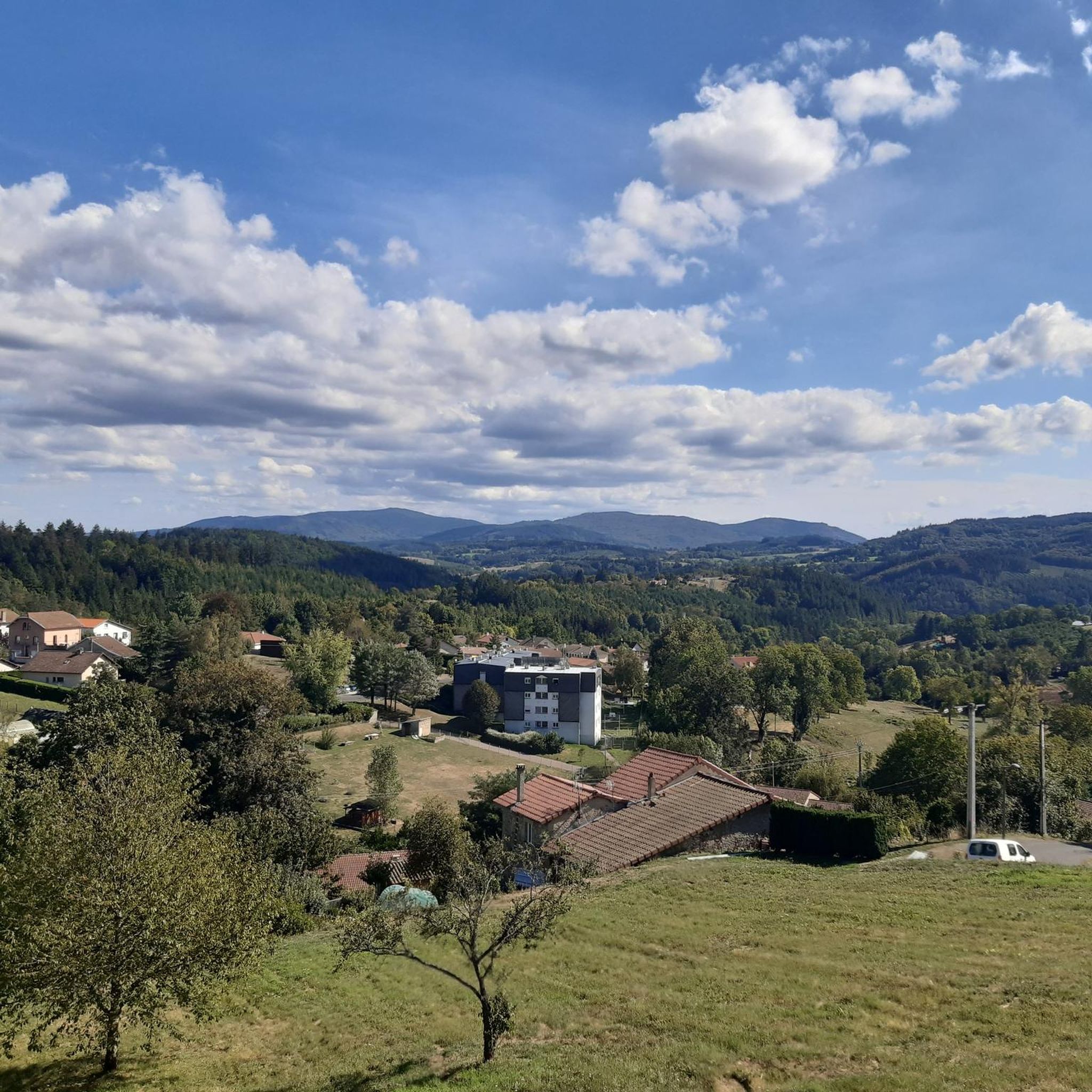
Wonderful view. Definitely worth it
0
0
Great bathing and leisure lake
0
0

The Prades lake is a designated green resort. It features two beaches and offers a wide range of activities, including lovely hikes in the surrounding area.
0
0
Nice view of the Livradois-Forez and the Prades lake in Saint-Rémy-sur-Durolle.
0
0
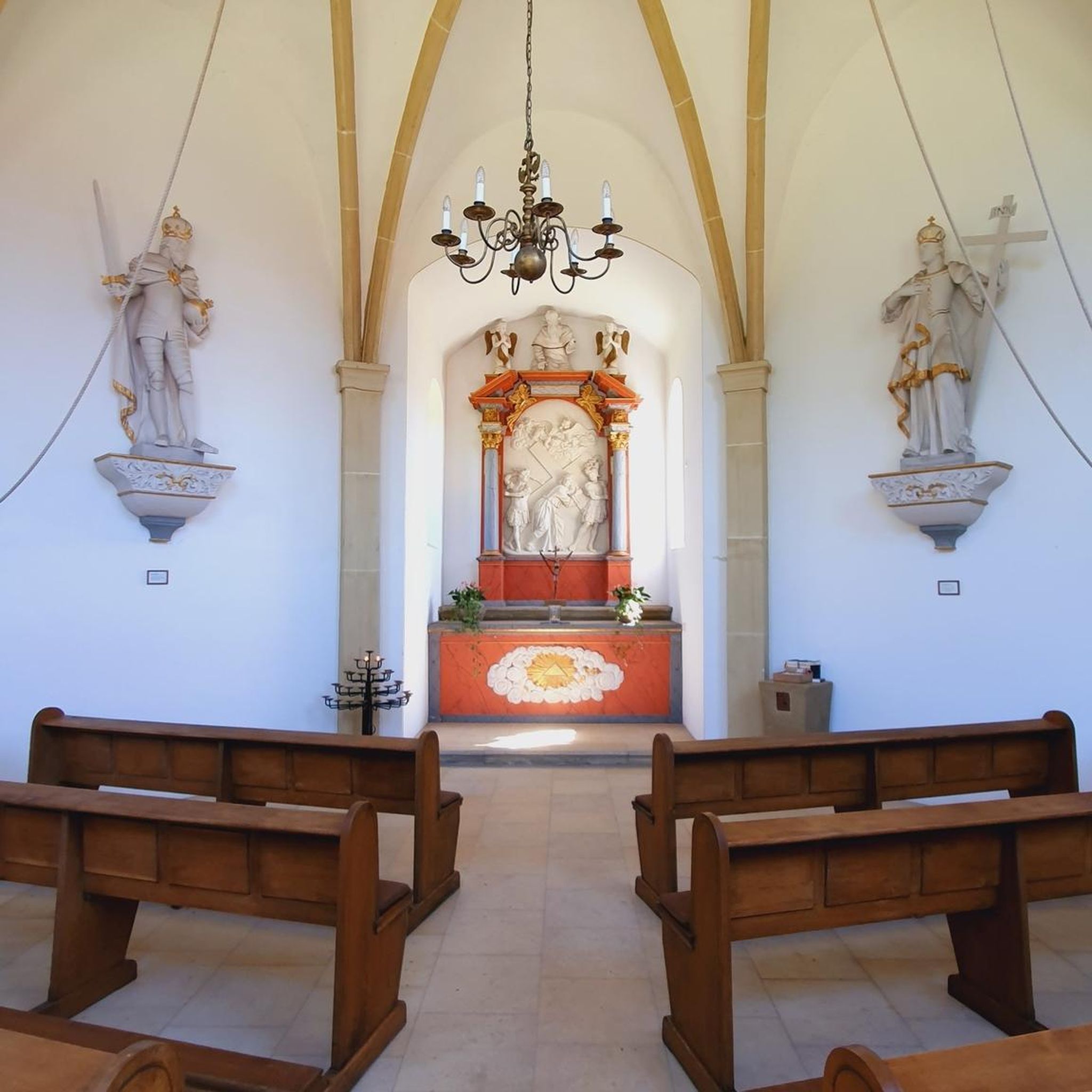
The Calvary (Christian monument comprising between one and three crosses) of Saint-Rémy-sur-Durolle also offers a magnificent view.
0
0
Frequently Asked Questions
How many hiking trails are available around La Monnerie-Le-Montel?
There are over 100 hiking trails around La Monnerie-Le-Montel, offering a wide range of options for different skill levels. You'll find everything from easy strolls to more challenging treks through the diverse landscapes of the Livradois-Forez Regional Nature Park.
Are there any easy hiking trails suitable for beginners or families in the area?
Yes, La Monnerie-Le-Montel offers several easy trails perfect for beginners or families. For instance, the Vallée des Rouets – Vallée des Rouets loop from La Vallée des Rouets is an easy option, and the Hiking loop from La Vallée des Rouets is another short, accessible route. These trails often feature gentle terrain and scenic views, particularly along the Durolle river valley.
What kind of terrain can I expect on hikes around La Monnerie-Le-Montel?
The terrain around La Monnerie-Le-Montel is quite varied, ranging from the gentle slopes of the Durolle river valley to the more rugged, mid-mountain landscapes of the Montagne Thiernoise and the Bois Noirs massif. You'll encounter wooded paths, riverbanks, and areas with unique rock formations, including ancient oaks and intriguing geological features like the 'Pierre aux Deux Yeux'.
Are there any circular hiking routes available?
Yes, many of the trails around La Monnerie-Le-Montel are circular routes, making them convenient for day trips. Popular options include the Plan d'Eau des Prades loop from Saint-Rémy-sur-Durolle, which circles a scenic lake, and the Puy d'Oscot loop from Celles-sur-Durolle for a more challenging circular trek.
What natural features or landmarks can I see while hiking?
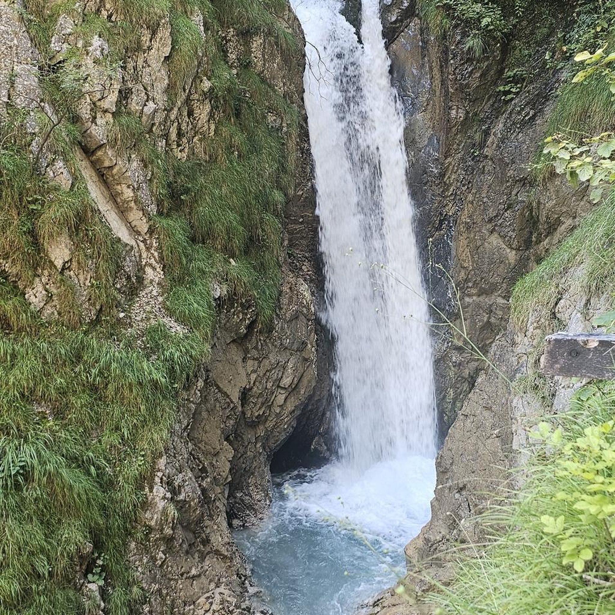
The region is rich in natural beauty. You can explore the Durolle river valley, discover unique rock formations like the 'shaking stone' and the 'Chaos rocheux du Roc du Guet', and admire ancient trees such as the 'chêne de la Gilbernie'. For impressive natural monuments, consider visiting Puy de Montoncel, an extinct volcano known for its ancient pine forests, or the Creux de Saillant Waterfall.
What do other hikers enjoy most about the trails in La Monnerie-Le-Montel?
The trails in La Monnerie-Le-Montel are highly rated by the komoot community, with an average score of 4.5 stars. Hikers often praise the tranquility of the Livradois-Forez Regional Nature Park, the well-maintained paths, and the diverse scenery that includes river valleys, dense forests, and unique geological formations.
Are there any viewpoints or panoramic spots along the hiking routes?
Yes, the varied topography of the region offers several opportunities for scenic views. While hiking, you might encounter elevated sections that provide vistas over the surrounding landscapes of the Livradois-Forez Regional Nature Park. For a specific panoramic spot, check out the Panorama of Rez de Sol.
Is the area suitable for dog-friendly hikes?
The natural environment of the Livradois-Forez Regional Nature Park generally welcomes dogs, especially on its extensive network of trails. However, it's always recommended to keep your dog on a leash, especially in areas with livestock or protected wildlife, and to check specific trail regulations before you go.
What is the best time of year to go hiking in La Monnerie-Le-Montel?
The region offers pleasant hiking conditions through much of the year. Spring brings lush greenery and wildflowers, while autumn showcases vibrant fall foliage in the extensive forests. Summer is ideal for enjoying the cooler, shaded paths of the Bois Noirs massif. Winter hiking is possible, but some higher elevation trails might require appropriate gear due to snow or ice.
Are there any cultural or historical sites near the hiking trails?
Beyond the natural beauty, the region has cultural points of interest. The town of Thiers, known as the French capital of cutlery, is just 5 km away and offers a fascinating historical center. Its unique setting in the gorges of the Durolle river is a testament to the area's industrial heritage. Other nearby towns like Courpiere and Chateldon also offer historical charm.
What is the typical elevation gain on trails in this region?
Elevation gain varies significantly across the trails. Easy routes, such as those in the Vallée des Rouets, might have modest gains of around 70-140 meters. Moderate trails, like the Plan d'Eau des Prades loop, can involve around 240 meters of ascent. For more challenging hikes, such as the Puy d'Oscot loop, you can expect elevation gains closer to 460 meters, requiring good fitness.
Most popular routes around La Monnerie-Le-Montel
Most popular attractions around La Monnerie-Le-Montel

Get inspired with the komoot mobile app


Explore more
Browse the best Hikes in other regions.
