The best road cycling routes around Carquebut
4.5
(45)
1,729
riders
197
rides
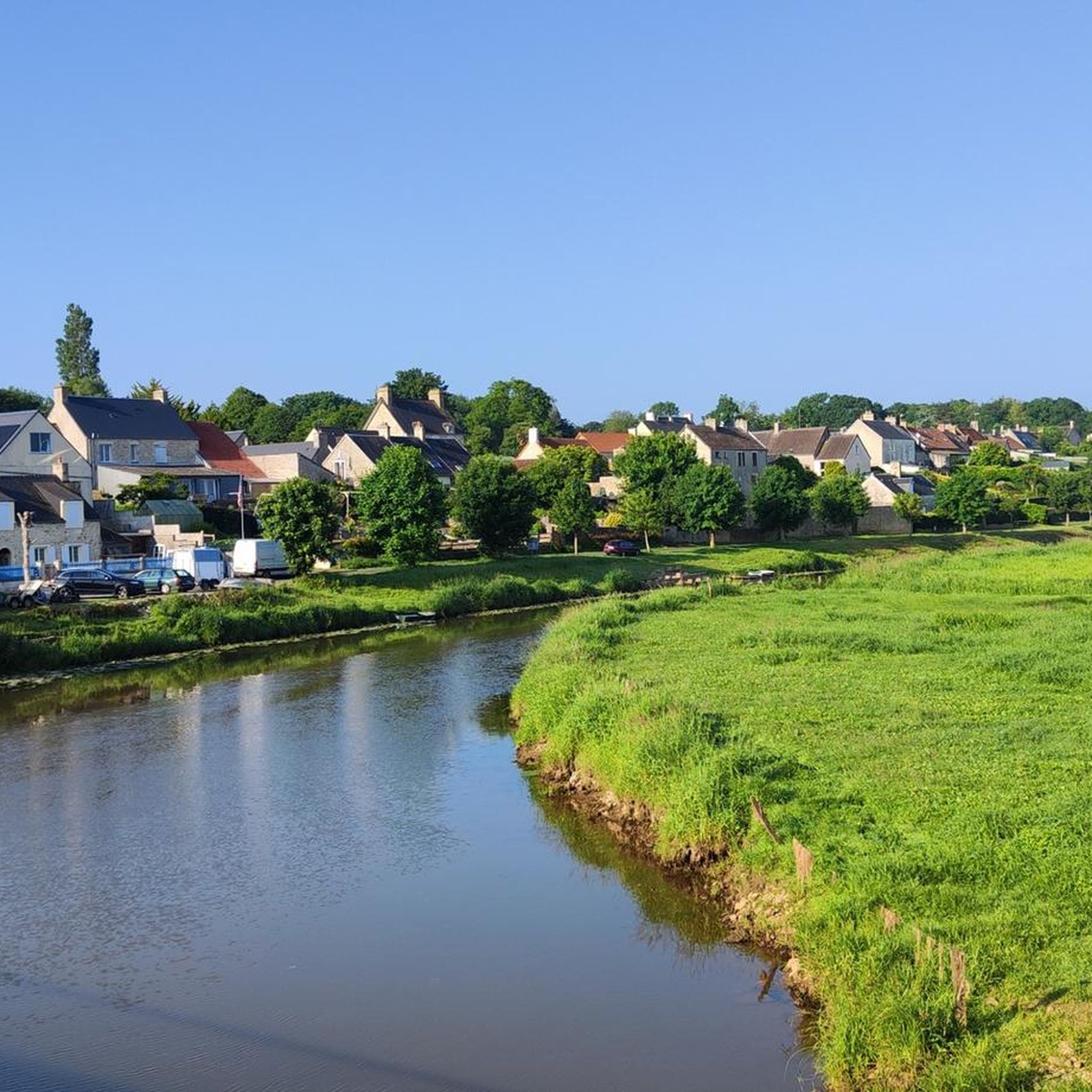
Road cycling routes around Carquebut traverse a landscape characterized by flat, open marshlands and proximity to the coastal areas of Normandy. The region features low elevation gains, making it suitable for varied cycling abilities. Roads often follow waterways and agricultural fields, offering expansive views of the surrounding countryside. This area provides a network of routes that connect small villages and historical sites.
Best road cycling routes around Carquebut
- The most popular road cycling route is View of the Marais de…
Last updated: August 28, 2026
57
riders
18.2km
00:42
70m
70m
Easy road ride. Great for any fitness level. Mostly well-paved surfaces and easy to ride.
4.8
(4)
47
riders
Moderate road ride. Good fitness required. Some segments of this route may be unpaved and difficult to ride.

Sign up for free
4.0
(2)
35
riders
55.6km
02:42
150m
150m
Moderate road ride. Good fitness required. Some segments of this route may be unpaved and difficult to ride.
5.0
(3)
42
riders
66.6km
02:42
310m
300m
Moderate road ride. Good fitness required. Mostly well-paved surfaces and easy to ride.
5.0
(1)
15
riders
58.0km
02:22
280m
280m
Moderate road ride. Good fitness required. Mostly well-paved surfaces and easy to ride.
Get access to more routes and recommendations from other explorers.
Sign up for free
Already have an account?
Our route recommendations are based on thousands of hikes, rides, and runs completed by other people on komoot.
Start today with a free account
Your next adventure awaits.
Login or Signup



Tips from the Community

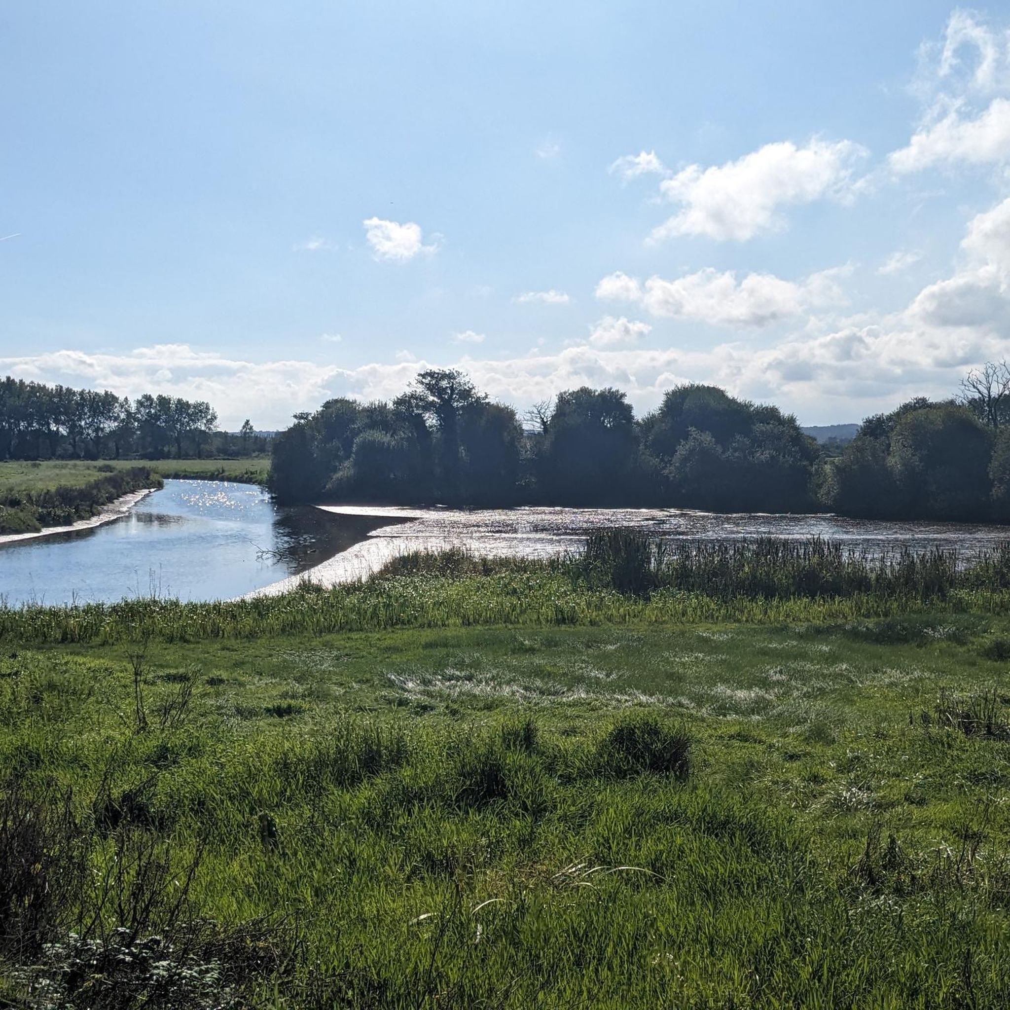
A French hiker explained to me today at this spot that the structure was built on the initiative of Napoleon Bonaparte to control the drainage of the swamps.
0
0

Utah Beach is the code name given by the Allies to one of the five beaches of the Normandy landings on June 6, 1944 (D-Day) during World War II. It represented the westernmost attack sector of the entire Operation Overlord and was located on the Cotentin Peninsula, between the towns of Pouppeville and Saint-Martin-de-Varreville. Today, the site presents itself as a quiet sandy beach at the gates of Sainte-Marie-du-Mont, rich in historical monuments and memory trails.
0
0

Utah Beach was the first of the five D-Day landing beaches to be recaptured by the Allies. It was chosen to retake Cherbourg and its deep-water port. Several memorials along the beach allow visitors to rediscover the history of the landings.
1
0

To honor the many American paratroopers and infantrymen who lost their lives in this region, a statue named "Iron Mike" was erected there. This statue is similar to the one that can be seen at Fort Bragg (USA), where the 82nd Airborne Division was - and still is - based.
0
0

A beautiful, expansive beach steeped in history.
3
1
Memorials that remind you again and again "NEVER AGAIN WAR" that is something the warmongers from 🇩🇪 and the 🇪🇺 should especially make their motto.
3
0
A place steeped in history, one of the five landing zones.
2
0
The landing craft used during the invasion of Normandy on June 6, 1944 (D-Day) were essential for the successful landing of the Allied troops. LCVP (Landing Craft, Vehicle, Personnel) – "Higgins Boat": The most widely used landing craft. Capacity: 36 soldiers or one jeep, or 8,000 pounds of cargo. Length: approximately 11 meters. Special feature: Front hatch for quick unloading of troops.
2
0
Frequently Asked Questions
How many road cycling routes are available around Carquebut?
There are over 180 road cycling routes around Carquebut, offering a wide range of options for different skill levels and preferences.
What kind of terrain can I expect when road cycling in Carquebut?
Road cycling routes around Carquebut primarily traverse flat, open marshlands and coastal areas of Normandy. You'll find low elevation gains, making for generally accessible rides, often following waterways and agricultural fields with expansive views.
Are there road cycling routes suitable for beginners in Carquebut?
Yes, Carquebut offers a good selection of routes for beginners. Approximately 75 of the routes are rated as easy. An example is the View of the Marais de la Chuque loop from Chef-du-Pont, an 11.2-mile (18.1 km) trail that provides scenic views of the local marshlands.
Are there any challenging road cycling routes for advanced cyclists?
While the region is known for its low elevation, there are still routes that offer a moderate challenge, with 104 routes rated as moderate and 10 as difficult. These routes often cover longer distances, such as the Marais de Pommenauque – The Stone loop from Houesville, a 35.3-mile (56.8 km) path exploring open landscapes.
What is the best time of year to go road cycling in Carquebut?
The best time to cycle in Carquebut is typically from spring through early autumn, when the weather is milder and the marshlands are vibrant. The flat terrain makes it enjoyable for most of the year, but coastal winds can be a factor, especially outside of peak season.
Are there any family-friendly road cycling routes in the area?
Given the prevalence of easy routes and low elevation gains, many of Carquebut's road cycling paths are suitable for families. Look for the 'easy' rated routes, which often stick to quieter roads and offer manageable distances for all ages.
Can I find loop road cycling routes around Carquebut?
Yes, many of the road cycling routes in Carquebut are designed as loops, allowing you to start and end at the same point. Examples include the Utah Beach – water's edge loop from Sainte-Mère-Église, which is 32.9 miles (53.0 km) and explores coastal areas.
What interesting landmarks or attractions can I see along the road cycling routes?
The Carquebut area is rich in history and natural beauty. Along your rides, you might encounter sites like Sainte-Mère-l'Église, the 2nd Armored Division Monument, or the historic Canal de Carentan. Coastal routes may also pass by landmarks such as the Sherman tank at Utah Beach.
What do other road cyclists enjoy most about cycling in Carquebut?
The komoot community highly rates road cycling in Carquebut, with an average score of 4.6 stars from over 30 reviews. Cyclists often praise the expansive views of marshlands and agricultural fields, the relatively flat terrain, and the ability to connect small villages and historical sites.
Are there any routes that combine historical sites with scenic views?
Absolutely. Many routes in the region offer a blend of history and scenery. For instance, the Marais de Pommenauque – Dead Man's Corner Museum loop from Chef-du-Pont is an easy 15.8-mile (25.5 km) route that allows you to explore the marshlands while passing by significant historical points.
Can I find routes that lead to the coast from Carquebut?
Yes, Carquebut's proximity to the coast means several routes extend to or along the seaside. The Utah Beach – water's edge loop from Sainte-Mère-Église is a prime example, offering a 32.9-mile (53.0 km) ride through coastal areas.
Are there routes that explore the Marais de Pommenauque area?
Yes, the Marais de Pommenauque is a prominent feature in many road cycling routes. The Sainte-Mère-Église Church – Marais de Pommenauque loop from Blosville is a moderate 34.8-mile (56.0 km) route that extensively explores this unique marshland landscape.
Most popular attractions around Carquebut

Get inspired with the komoot mobile app


Explore more
Browse the best Road cycling routes in other regions.
