The best cycling routes around La Chapelle-Erbrée
4.5
(174)
1,348
riders
101
rides
Touring cycling around La Chapelle-Erbrée offers routes through the diverse landscapes of Brittany, France. The region features the substantial Plan d'eau de Haute Vilaine, a 155-hectare lake, alongside numerous forests such as Bois des Effretais and Forêt du Pertre. The terrain generally consists of rolling countryside, providing varied gradients for cyclists. These routes often pass through agricultural areas and offer views of the natural environment.
Best touring cycling routes around La Chapelle-Erbrée
- The most popular touring cycling route is Bike…
Last updated: July 2, 2026
25
riders
14.6km
00:57
170m
170m
Moderate bike ride. Good fitness required. Mostly paved surfaces. Suitable for all skill levels.
17
riders
50.1km
03:20
600m
600m
Hard bike ride. Very good fitness required. Mostly paved surfaces. Suitable for all skill levels.

Sign up for free
7
riders
Moderate bike ride. Good fitness required. Mostly paved surfaces. Suitable for all skill levels.
5.0
(1)
8
riders
38.0km
02:43
240m
240m
Moderate bike ride. Good fitness required. Mostly paved surfaces. Suitable for all skill levels.
1
riders
Hard bike ride. Good fitness required. You may need to push your bike for some segments of this route.
Get access to more routes and recommendations from other explorers.
Sign up for free
Already have an account?
Our route recommendations are based on thousands of hikes, rides, and runs completed by other people on komoot.
Start today with a free account
Your next adventure awaits.
Login or Signup
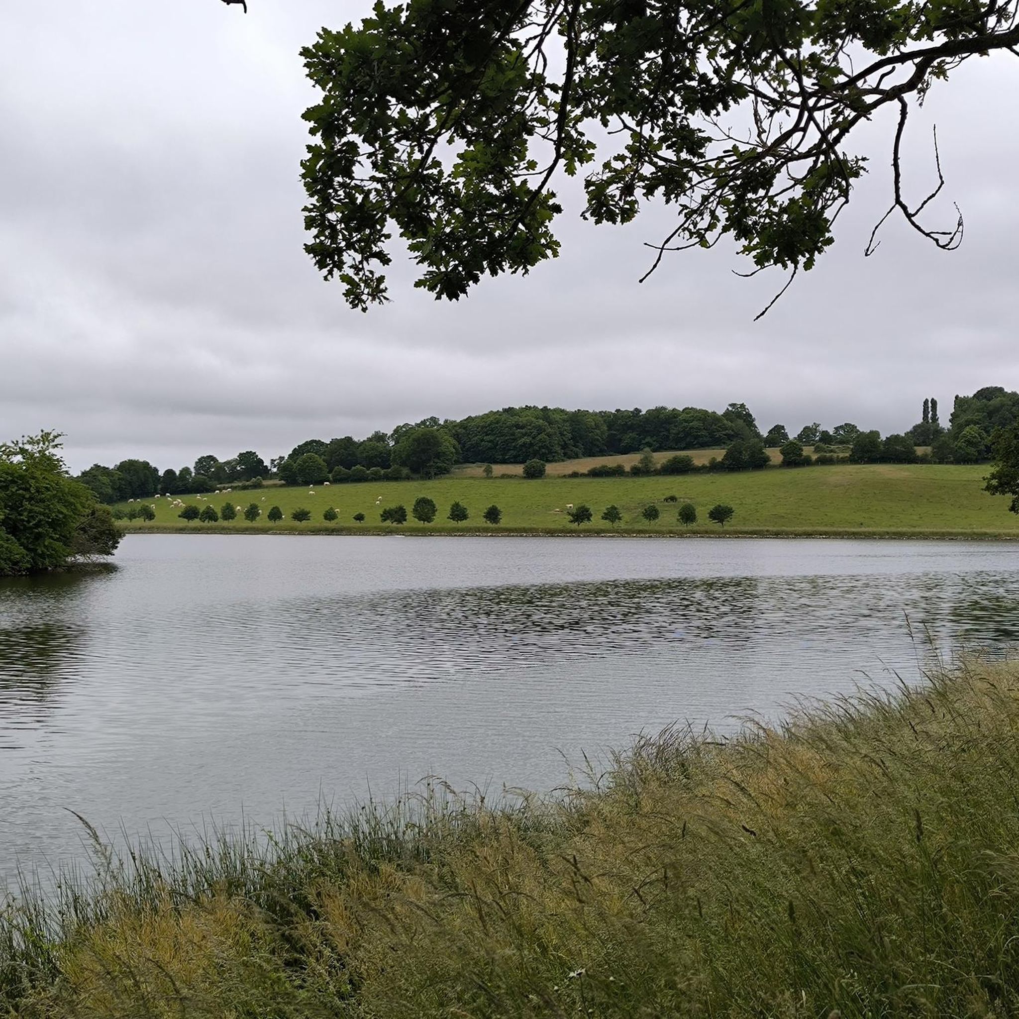
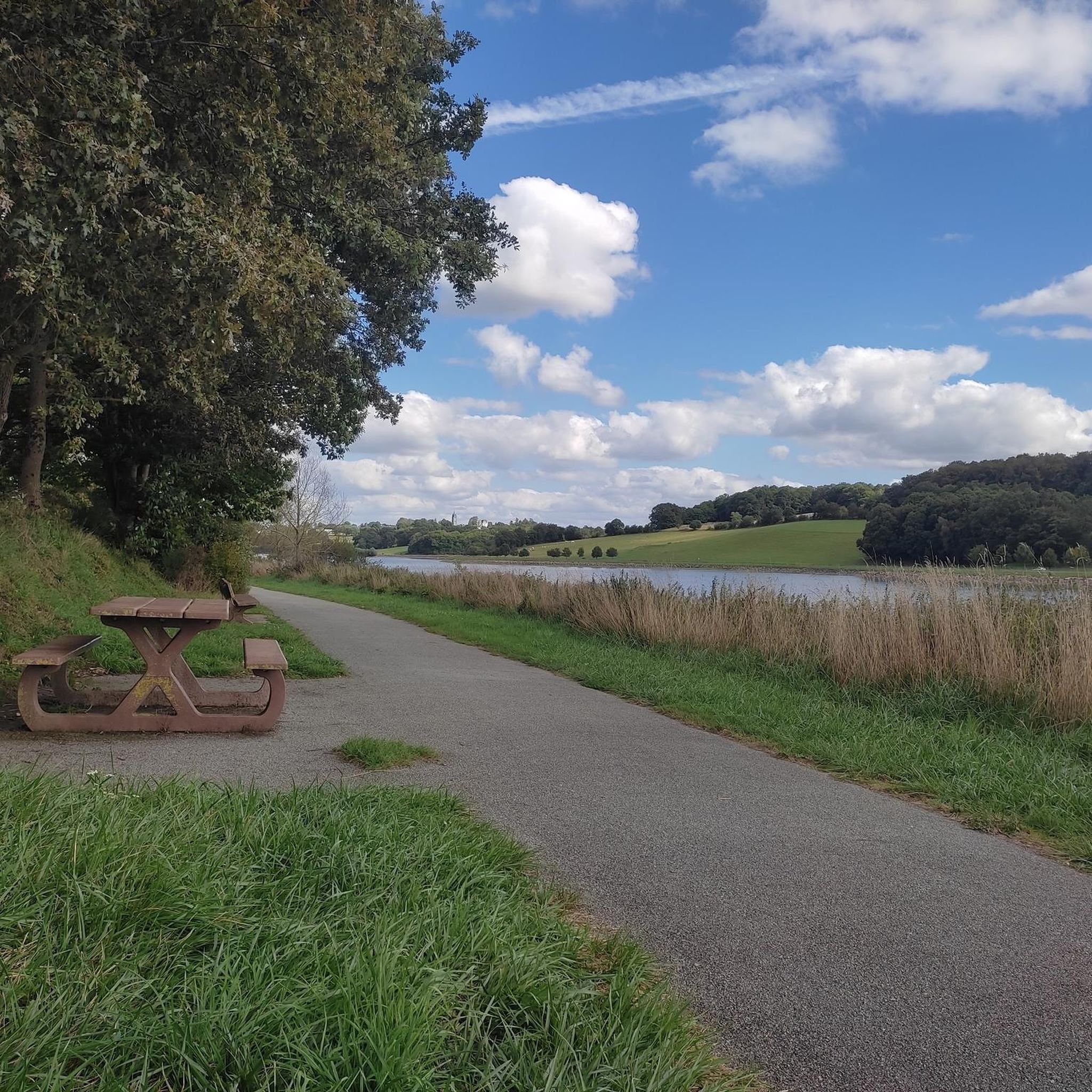


Tips from the Community

Bird watching possible!
0
0

This Guinguette de Villanfray is a superb spot for a break in the shade, a drink or a snack, and even a game of pétanque. I recommend this relaxing spot with a view of the Château de Villanfray.
0
0


The Morfelon pond is a small lake surrounded by a botanical trail, a sports complex and a picnic area. L’Étang de Morfelon is a hidden gem that offers a peaceful and enjoyable experience for nature lovers.
2
0

The Château de Gazon was rebuilt in the second half of the 17th century on the site of an old medieval stronghold. The chateau also included a farmhouse which, unfortunately, today sits at the bottom of Lake Cantache.
3
0
The Cantache pond is a relatively recent creation, created in 1995 by the creation of the Cantache dam built the same year.
3
0
Frequently Asked Questions
How many touring cycling routes are available around La Chapelle-Erbrée?
There are over 100 touring cycling routes in the La Chapelle-Erbrée area, catering to various skill levels. You'll find a good mix of easy, moderate, and some more challenging options to explore the region's diverse landscapes.
What kind of terrain can I expect on touring cycling routes in La Chapelle-Erbrée?
The terrain around La Chapelle-Erbrée generally consists of rolling countryside. Routes often pass through agricultural areas and offer views of natural environments, including substantial lakes and woodlands. You can expect varied gradients, with some routes being relatively flat and others featuring more noticeable elevation changes.
Are there any circular touring cycling routes in the area?
Yes, many routes around La Chapelle-Erbrée are circular, allowing you to start and finish in the same location. For example, the Bike loop from La Chapelle-Erbrée is a moderate 14.6 km circular trail, and the Cantache Dam – Cantache dam loop from Saint-M'Hervé offers a longer 38 km ride around the reservoir.
What are some scenic natural features I can see along the cycling routes?
The region is rich in natural beauty. Many routes will take you past the significant Plan d'eau de Haute Vilaine, a 155-hectare lake, or other smaller lakes like Cantache Pond. You'll also cycle through various forests such as Bois des Effretais and Forêt du Pertre, offering shaded sections and diverse natural environments.
Are there any family-friendly touring cycling routes?
Yes, there are several easy routes suitable for families. The Étang du Moulin Neuf loop from Bréal-sous-Vitré is an easy 12.4 km trail, often completed in about 45 minutes, making it a great option for a shorter family outing. Another easy choice is the Étang de la Cassée loop from Saint-Pierre-la-Cour, which is 11.4 km long.
What do other touring cyclists enjoy most about cycling in La Chapelle-Erbrée?
The area is highly rated by the komoot community, with an average score of 4.6 stars from over 200 reviews. Reviewers often praise the diverse landscapes, including the substantial lakes and quiet woodlands, and the variety of routes available for different ability levels.
What historical or cultural landmarks can I discover while cycling?
While cycling, you can encounter several interesting landmarks. The 26 km loop around the Plan d'eau de Haute Vilaine offers glimpses of the 15th-century fortified Château des Nétumières. The nearby town of Vitré also boasts medieval architecture and a historic castle, which can be a rewarding stop on longer tours.
When is the best time of year for touring cycling in La Chapelle-Erbrée?
The region is pleasant for cycling from spring through autumn. Summer offers warmer weather and the opportunity to enjoy water activities at the Base de Loisirs de Haute Vilaine. Spring and autumn provide milder temperatures and beautiful scenery, with fewer crowds. Always check local weather forecasts before heading out.
Are there options for parking near the cycling routes?
Yes, parking is generally available in and around La Chapelle-Erbrée, particularly near popular starting points for routes, such as the Plan d'eau de Haute Vilaine or in nearby villages like Saint-M'Hervé or Bréal-sous-Vitré, which serve as access points for various tours.
Can I find places to eat or drink along the routes?
Yes, you can find options for refreshments. The Base de Loisirs de Haute Vilaine often has facilities, and you might find cafes or restaurants in nearby towns and villages. For example, Vitré offers dining spots like the Inn at Vitré Castle, and the Guinguette de Villanfray is another option for a break.
Are there any longer touring routes for more experienced cyclists?
For those seeking longer rides, the region offers more extensive options. The Bike loop from Saint-Pierre-la-Cour is a moderate 33.5 km route with a notable elevation gain of 339 meters, providing a more challenging experience. The broader Ille-et-Vilaine department also connects to major cycle tourism routes like La Vélodyssée, offering extensive touring opportunities.
Most popular routes around La Chapelle-Erbrée
Most popular attractions around La Chapelle-Erbrée

Get inspired with the komoot mobile app


Explore more
Browse the best Cycling routes in other regions.
