The best walks and hikes around Saint-Vaast-De-Longmont
4.4
(103)
526
hikers
101
hikes
Hiking trails around Saint-Vaast-De-Longmont traverse a diverse landscape of cultivated lands, woods, and streams within the Oise department. The region features a blend of valleys and plateaus, offering varied elevation changes for hikers. Notable natural features include the expansive Forêt d'Halatte and Mont Pagnotte, the highest point in the Valois region at 222 meters.
Best hiking trails around Saint-Vaast-De-Longmont
- The most popular hiking route is Verberie Ponds loop from Verberie, a 6.9 miles (11.1 km) trail that takes 2…
Last updated: July 5, 2026
4.8
(5)
19
hikers
11.1km
02:48
20m
20m
Moderate hike. Good fitness required. Easily-accessible paths. Suitable for all skill levels.
5.0
(1)
12
hikers
3.71km
00:56
0m
10m
Easy hike. Great for any fitness level. Easily-accessible paths. Suitable for all skill levels.

Sign up for free
5.0
(3)
15
hikers
11.2km
02:50
30m
30m
Moderate hike. Good fitness required. Easily-accessible paths. Suitable for all skill levels.
8
hikers
Moderate hike. Good fitness required. Easily-accessible paths. Suitable for all skill levels.
5.0
(1)
9
hikers
Easy hike. Great for any fitness level. Easily-accessible paths. Suitable for all skill levels.
Get access to more routes and recommendations from other explorers.
Sign up for free
Already have an account?
Our route recommendations are based on thousands of hikes, rides, and runs completed by other people on komoot.
Start today with a free account
Your next adventure awaits.
Login or Signup

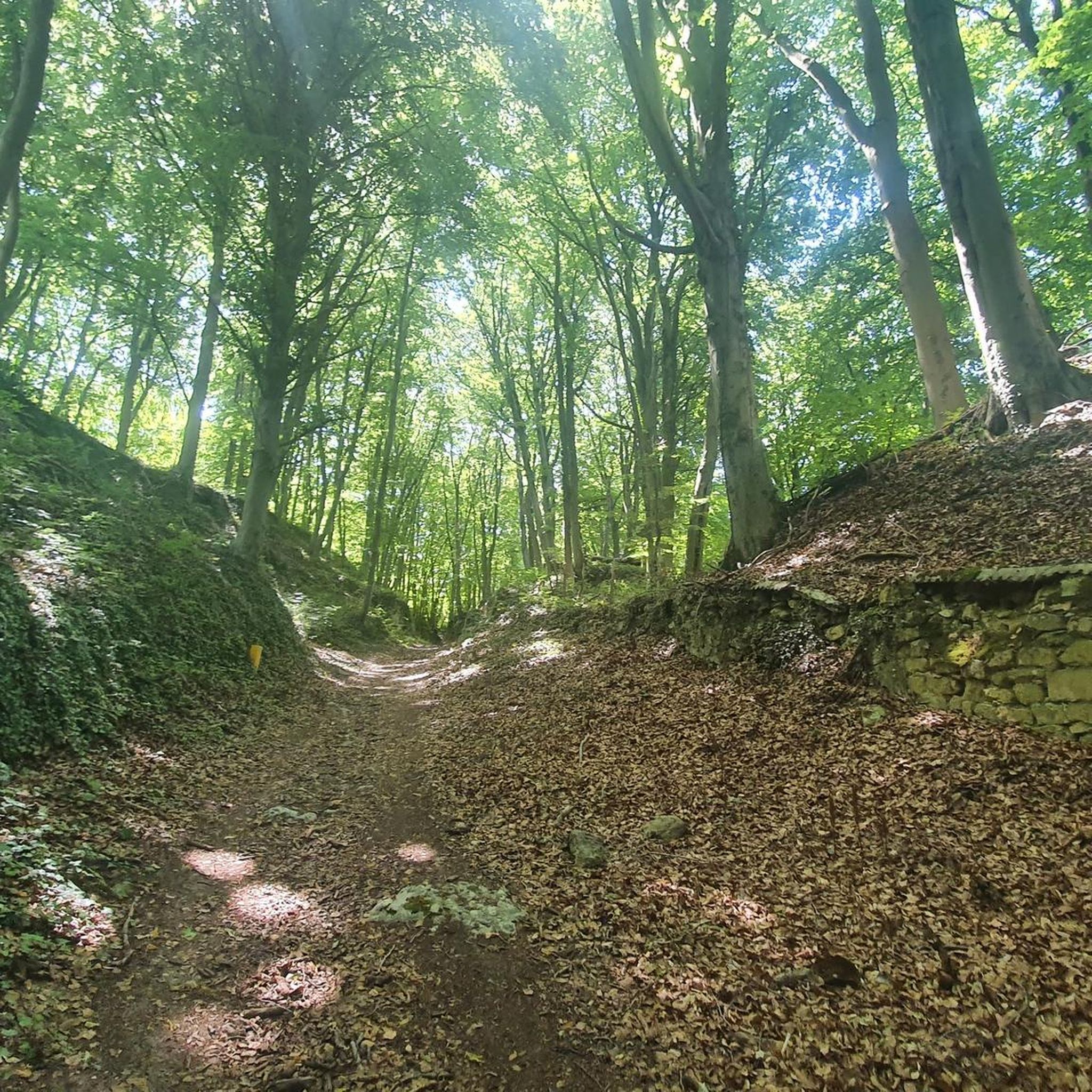
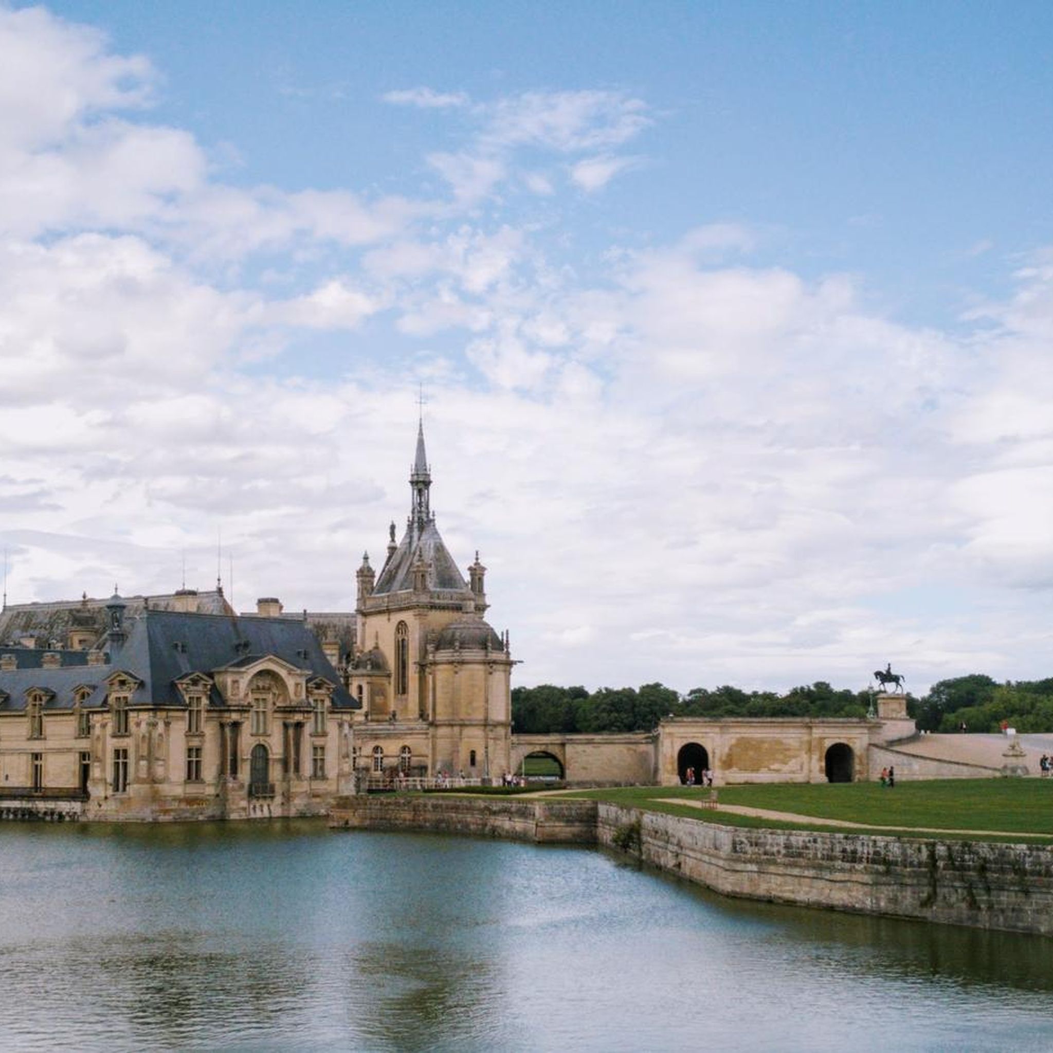
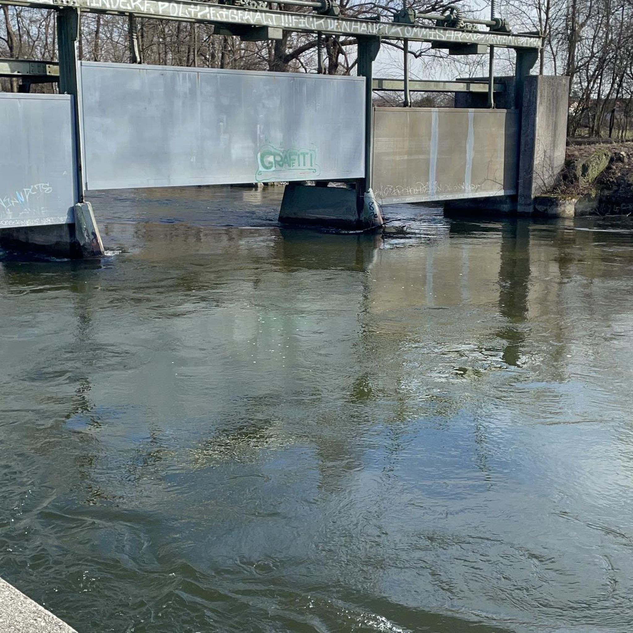

Tips from the Community

A lovely section of trail through the ponds. It's well-surfaced and very quiet.
2
0

Very beautiful ponds on the Oise near Verberie.
1
0

Take good tires and provisions with you
1
0


Beautiful cycle path between the Oise and the ponds.
1
0


It is one of the most beautiful viewpoints in the department. It constitutes the top of the forest of Halatte, at an altitude of 220 meters. A few meters from the highest point there is a magnificent belvedere.
1
0
Frequently Asked Questions
How many hiking trails are available around Saint-Vaast-De-Longmont?
There are over 90 hiking routes in the Saint-Vaast-De-Longmont area, offering a wide range of options for exploring the local landscape.
What are the difficulty levels of the hiking trails?
The trails around Saint-Vaast-De-Longmont cater to various skill levels. You'll find over 40 easy routes, more than 50 moderate trails, and a few more challenging options for experienced hikers.
Are there any circular hiking routes in the area?
Yes, many of the trails around Saint-Vaast-De-Longmont are circular, allowing you to start and end your hike at the same point. For example, the Verberie Ponds loop from Carrefour de la Basse Queue is a moderate 11.1 km circular route.
Are the hiking trails suitable for families?
Absolutely. With over 40 easy routes, many trails are suitable for families. Shorter, less strenuous options like the Verberie Ponds loop from PARK Nautic de Verberie (TNV60), which is 3.7 km long, are great for outings with children.
Can I bring my dog on the hiking trails?
Generally, dogs are welcome on trails in the Forêt d'Halatte and surrounding areas, but it's always best to keep them on a leash, especially in forested areas where wildlife is present. Please ensure you clean up after your pet to maintain the natural environment.
What kind of scenery can I expect while hiking?
Hikers can expect a diverse landscape featuring cultivated lands, serene woods, and the Automne River. The area is characterized by a blend of valleys and plateaus, with significant natural landmarks like the expansive Forêt d'Halatte and Mont Pagnotte, which offers panoramic views.
Are there any interesting landmarks or attractions to see along the trails?
Yes, the region offers several points of interest. You can visit the historic Royal Abbey of Moncel, explore the Mont Pagnotte viewpoint for stunning vistas, or discover the ancient Gallo-Roman ruins of Champlieu. The historic Carrière Saint-Éloi, an old quarry, also adds a unique historical element to the landscape.
Is parking available at the trailheads?
Many popular trailheads, especially those leading into the Forêt d'Halatte or near specific attractions, typically offer designated parking areas. For routes like the Fontaine Saint Aubert – Mont Pagnotte loop from Villeneuve-sur-Verberie, you can usually find parking in the nearby villages or forest access points.
What is the best time of year to hike in Saint-Vaast-De-Longmont?
Spring and autumn are generally ideal for hiking in Saint-Vaast-De-Longmont, offering pleasant temperatures and beautiful scenery as the foliage changes or blooms. Summer can also be enjoyable, especially in the shaded forest areas, while winter hikes can offer a unique, tranquil experience, though some paths might be muddy.
What do other hikers enjoy most about the trails in Saint-Vaast-De-Longmont?
The area is highly rated by the komoot community, with an average score of 4.5 stars. Hikers often praise the varied terrain, the tranquility of the Forêt d'Halatte, and the rewarding views from Mont Pagnotte. The well-maintained paths and diverse options for all skill levels are also frequently highlighted.
Are there any trails that lead to Mont Pagnotte?
Yes, Mont Pagnotte, the highest point in the Valois region, is a popular destination. The Fontaine Saint Aubert – Mont Pagnotte loop from Villeneuve-sur-Verberie is a moderate 9 km trail that ascends Mont Pagnotte, providing excellent views over the Forêt d'Halatte and the surrounding countryside.
Can I access the hiking trails using public transport?
Information regarding direct public transport access to specific trailheads in Saint-Vaast-De-Longmont is limited. It is generally recommended to travel by car to reach the starting points of most hiking routes in this rural commune.
Most popular routes around Saint-Vaast-De-Longmont
Most popular attractions around Saint-Vaast-De-Longmont

Get inspired with the komoot mobile app


Explore more
Browse the best Hikes in other regions.
