The best cycling routes around Saint-Hilaire-Sur-Erre
4.6
(165)
1,013
riders
114
rides
Touring cycling routes around Saint-Hilaire-Sur-Erre traverse the tranquil landscapes of the Perche Regional Natural Park, characterized by rolling hills, forests, and the scenic Huisne Valley. The region offers diverse terrains, including hollow paths, woods, and meandering rivers, providing varied experiences for cyclists. Its gentle, undulating terrain is suitable for both challenging and leisurely rides.
Best touring cycling routes around Saint-Hilaire-Sur-Erre
- The most popular touring cycling route is Sites and abbeys, a 64.3 miles (103.5 km) trail that takes 6…
Last updated: July 4, 2026
1
riders
103km
06:32
1,170m
1,170m
Hard bike ride. Very good fitness required. Mostly paved surfaces. Suitable for all skill levels.
4.8
(6)
70
riders
154km
09:31
1,070m
1,070m
Hard bike ride. Very good fitness required. You may need to push your bike for some segments of this route.

Sign up for free
4.5
(2)
25
riders
60.6km
03:49
390m
390m
Moderate bike ride. Good fitness required. Mostly paved surfaces. Suitable for all skill levels.
4.0
(6)
15
riders
12.3km
00:49
40m
40m
Easy bike ride. Great for any fitness level. Mostly paved surfaces. Suitable for all skill levels.
1
riders
59.7km
03:42
440m
440m
Moderate bike ride. Good fitness required. Mostly paved surfaces. Suitable for all skill levels.
Get access to more routes and recommendations from other explorers.
Sign up for free
Already have an account?
Our route recommendations are based on thousands of hikes, rides, and runs completed by other people on komoot.
Start today with a free account
Your next adventure awaits.
Login or Signup



Tips from the Community

This ancient fortified castle dominates the Huisne Valley at 360° with its imposing keep. The building, with its troubled history, has undergone numerous modifications in its architecture and functions. A visit is essential to understand the complexity of its history and to observe the architectural evolutions.
0
0

A must-see that overlooks the valley.
0
0

Always straight ahead. Slightly downhill, through the shady forest.
1
0
The Huisne is a river in central France, flowing in the regions of Normandy, Centre-Val de Loire and Pays de la Loire. It rises in the municipality of La Perrière, in the Perche Regional Nature Park, initially drains to the northeast, later to the southeast, finally turns to the southwest near Condé-sur-Huisne and, after around 165[2] kilometres, flows into the Sarthe in Le Mans as a left tributary.
3
0

Very beautiful start to the route with an arrival at this magnificent mill
2
0

It is a magnificent castle... Calm!
0
0
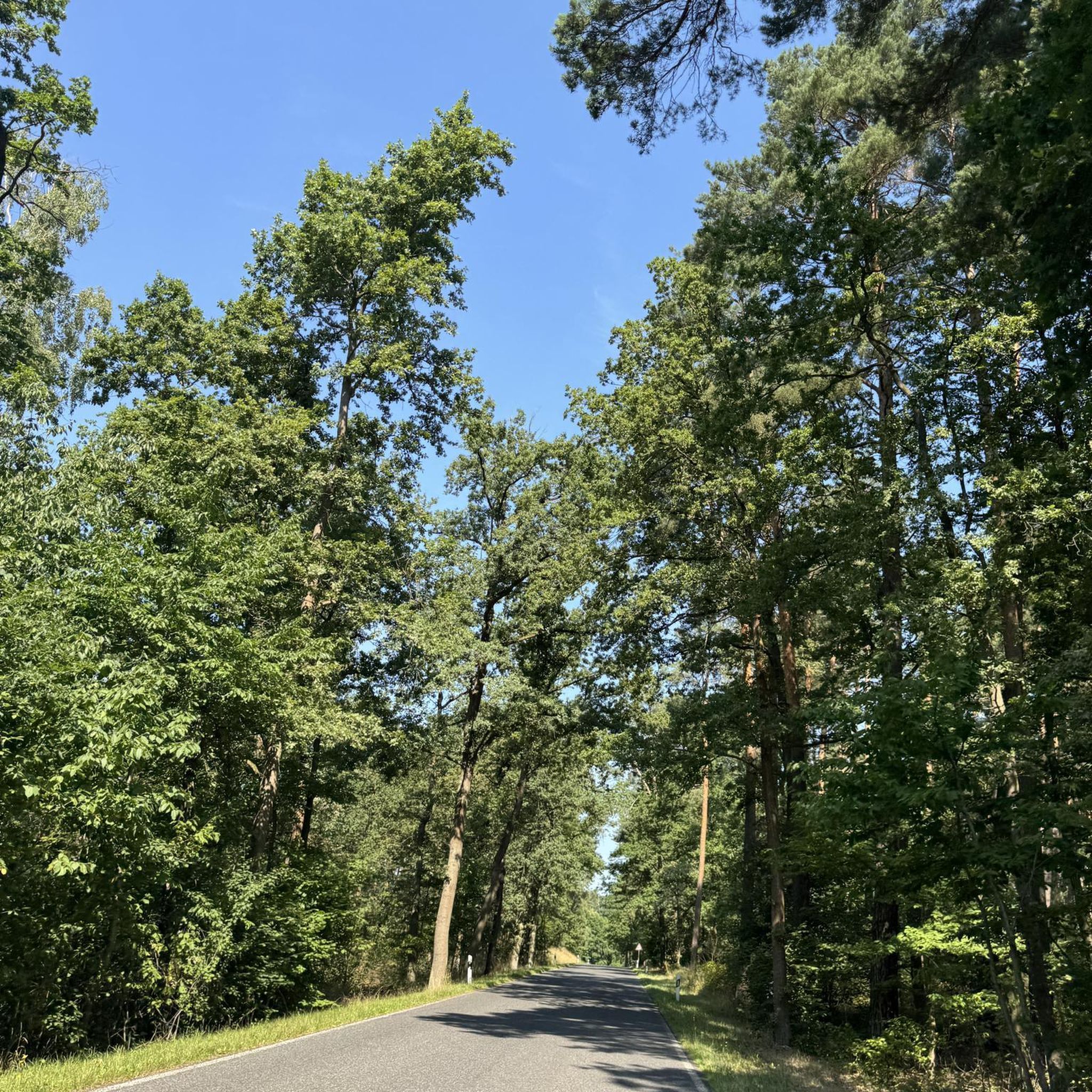
Magnificent section of greenway. The vegetation forms an arc above the road, providing maximum shade on hot days. In places, the trees open a window onto the fields and the track approaches the river. A superb moment out of time.
0
0

This 16th century church is distinguished by its two naves of different inspiration. The north nave is Romanesque while the south nave is Renaissance style.
0
0
Frequently Asked Questions
How many touring cycling routes are available around Saint-Hilaire-sur-Erre?
There are over 100 touring cycling routes around Saint-Hilaire-sur-Erre, offering a wide range of options for different skill levels. This includes 14 easy routes, 62 moderate routes, and 29 difficult routes.
What kind of terrain can I expect on touring cycling routes in the Saint-Hilaire-sur-Erre area?
The terrain around Saint-Hilaire-sur-Erre, particularly within the Perche Regional Natural Park, is characterized by rolling hills, dense forests, and the scenic Huisne Valley. You'll encounter gentle and undulating paths, charming 'hollow paths,' woods, and meandering rivers, providing a varied and engaging experience.
Are there any easy touring cycling routes suitable for beginners or families?
Yes, there are several easy routes. A popular choice is the Plan d'eau de la Borde loop from Nogent-le-Rotrou, which is 11.8 km (7.3 miles) long and typically takes under an hour to complete, leading through varied countryside.
What are some longer touring cycling routes for experienced cyclists?
For experienced cyclists seeking a longer challenge, consider the Sites and abbeys route. This trail spans 103.5 km (64.3 miles) and explores the cultural heritage and natural beauty of the Perche region, typically taking over six hours to complete.
What attractions can I see along the touring cycling routes near Saint-Hilaire-sur-Erre?
Many routes offer views of the Huisne Valley. You can also explore historical sites such as the Nogent-le-Rotrou Castle with its imposing keep, or the Notre-Dame Church in Nogent-le-Rotrou. The Alençon–Condé-sur-Huisne Greenway is also a notable feature for cyclists.
Are there any circular touring cycling routes in the area?
Yes, many routes are designed as loops. For example, the Above the Huisne – Villeray Mill loop from Nogent-le-Rotrou is a moderate 60.6 km (37.6 miles) path that offers views of the Huisne Valley and passes by historical mills. Another option is the Above the Huisne – Voie verte in Dorceau loop from Nogent-le-Rotrou.
What do other touring cyclists enjoy most about cycling in Saint-Hilaire-sur-Erre?
The area is highly rated by the komoot community, with an average score of 4.7 stars from over 140 reviews. Touring cyclists often praise the serene landscapes of the Perche Regional Natural Park, the varied terrain including forests and rolling hills, and the well-maintained network of routes suitable for different abilities.
Is the Perche Regional Natural Park suitable for touring cyclists?
Absolutely. The Perche Regional Natural Park is a primary draw for outdoor enthusiasts, offering tranquil countryside, rolling hills, dense forests, and the scenic Huisne Valley. Its gentle and undulating terrain makes it suitable for cyclists of varying skill levels, from leisurely rides to more challenging routes.
Are there any specific routes that follow the Huisne Valley?
Yes, several routes incorporate the Huisne Valley. The Above the Huisne – Villeray Mill loop from Nogent-le-Rotrou is a popular moderate route that offers views of the Huisne Valley and passes by historical mills. You can also explore the Above the Huisne highlight.
What is the best time of year for touring cycling around Saint-Hilaire-sur-Erre?
The region's picturesque landscapes, characterized by rolling hills and dense forests, are enjoyable throughout the warmer months. Spring and autumn offer pleasant temperatures and beautiful scenery, while summer provides longer daylight hours for extended rides. Always check local weather conditions before heading out.
Are there any routes that pass through charming villages or historical sites?
Many routes in the region will take you through or near attractive villages within the Perche Natural Regional Park, such as Belleme and Mortagne-au-Perche. The Sites and abbeys route, for instance, is designed to explore the cultural heritage of the Perche region.
Most popular routes around Saint-Hilaire-Sur-Erre
Most popular attractions around Saint-Hilaire-Sur-Erre

Get inspired with the komoot mobile app


Explore more
Browse the best Cycling routes in other regions.
