The best walks and hikes around La Chaux
4.5
(126)
699
hikers
66
hikes
Hiking around La Chaux offers routes through the Jura Mountains, characterized by dense forests and rolling hills. The region is home to the expansive Forêt de Chaux, one of France's largest forests, featuring ancient trees and numerous natural springs. Trails often follow carriage roads, providing views of surrounding peaks and leading to natural features like gorges and lakes. The landscape includes varied terrains, from forest paths to open areas with vistas.
Best hiking trails around La Chaux
- The most popular…
Last updated: June 25, 2026
5.0
(1)
11
hikers
8.30km
02:12
90m
90m
Hike a moderate 5.2-mile loop through the Forêt départementale du Grais, featuring a unique peat bog and diverse forest habitats.
4.0
(4)
13
hikers
6.13km
01:37
60m
60m
Easy hike. Great for any fitness level. Easily-accessible paths. Suitable for all skill levels.

Sign up for free
4.8
(5)
10
hikers
8.56km
02:17
90m
90m
Moderate hike. Good fitness required. Easily-accessible paths. Suitable for all skill levels.
3.0
(1)
4
hikers
5.86km
01:34
60m
60m
Easy hike. Great for any fitness level. Easily-accessible paths. Suitable for all skill levels.
5.0
(1)
3
hikers
10.3km
02:44
110m
110m
Moderate hike. Good fitness required. Easily-accessible paths. Suitable for all skill levels.
Get access to more routes and recommendations from other explorers.
Sign up for free
Already have an account?
Our route recommendations are based on thousands of hikes, rides, and runs completed by other people on komoot.
Start today with a free account
Your next adventure awaits.
Login or Signup


Tips from the Community

Magnificent place! The Lande Forêt pond is located in the heart of the Grais departmental forest. By bike, it is accessible via a secure route from the Briouze-Bagnoles greenway in Orne Normandy. An interpretive walking trail and wooden decks allow you to go around the pond. Picnic tables, bicycle boxes and a shelter are available at the entrance to the site.
0
0

Surrounded by trees in the forest of Grais, this magnificent lake is a real pleasure for walkers. With benches to rest and places to picnic, you will really enjoy this lake.
2
0

Many forest trails suitable for trail running
0
0
A pretty village in the middle of the woods, surrounded by ponds which supplied forges. These old forges can be visited by appointment. Hiking trail nearby (departure from Rânes, yellow markings).
0
0
This pond is located in the middle of the Grais national forest. It can be accessed in several ways: by a small road or by the numerous forest trails. There are picnic tables for an ideal break in a bucolic setting.
0
0
Frequently Asked Questions
How many hiking trails are available around La Chaux?
There are over 60 hiking trails around La Chaux, offering a variety of experiences for different skill levels. The komoot community has rated these routes highly, with an average score of 4.5 stars.
What kind of terrain can I expect on hikes in La Chaux?
Hiking in La Chaux features diverse terrain, from dense woodlands and rolling hills to open pastures. Many trails follow carriage roads, especially in the Forêt de Chaux, which is one of France's largest forests. You might also encounter natural springs, gorges, and lakes, with some routes in the Swiss part of La Chaux even including ladders and elevation changes.
Are there any easy hiking trails suitable for beginners in La Chaux?
Yes, La Chaux offers many easy trails. For instance, the Le Champ-de-la-Pierre – La Raitière chapel loop from Le Champ-de-la-Pierre is an easy 3.1-mile (5.0 km) path with gentle gradients through the countryside. Overall, 32 of the 68 available routes are classified as easy.
Can I find circular hiking routes in La Chaux?
Yes, many trails in La Chaux are circular. A popular option is the Lande-Forêt Pond Interpretive Loop, which is 5.2 miles (8.3 km) long and takes about 2 hours 12 minutes to complete. Another well-liked circular route is the Lande Forêt Pond loop from Beauvain.
What natural features can I see while hiking in La Chaux?
The region is rich in natural beauty. In the French part, you can explore the vast Forêt de Chaux with its ancient trees and numerous natural springs, as well as gorges like Défilé d'Entre-Roches and Gorges du Doubs, and lakes such as Lac du Fioget. In the Swiss La Chaux-de-Fonds area, highlights include the Combe de Biaufond gorge, the high plateau of the Freiberge, and sections of the Doubs river.
Are there any historical landmarks or attractions near the hiking trails?
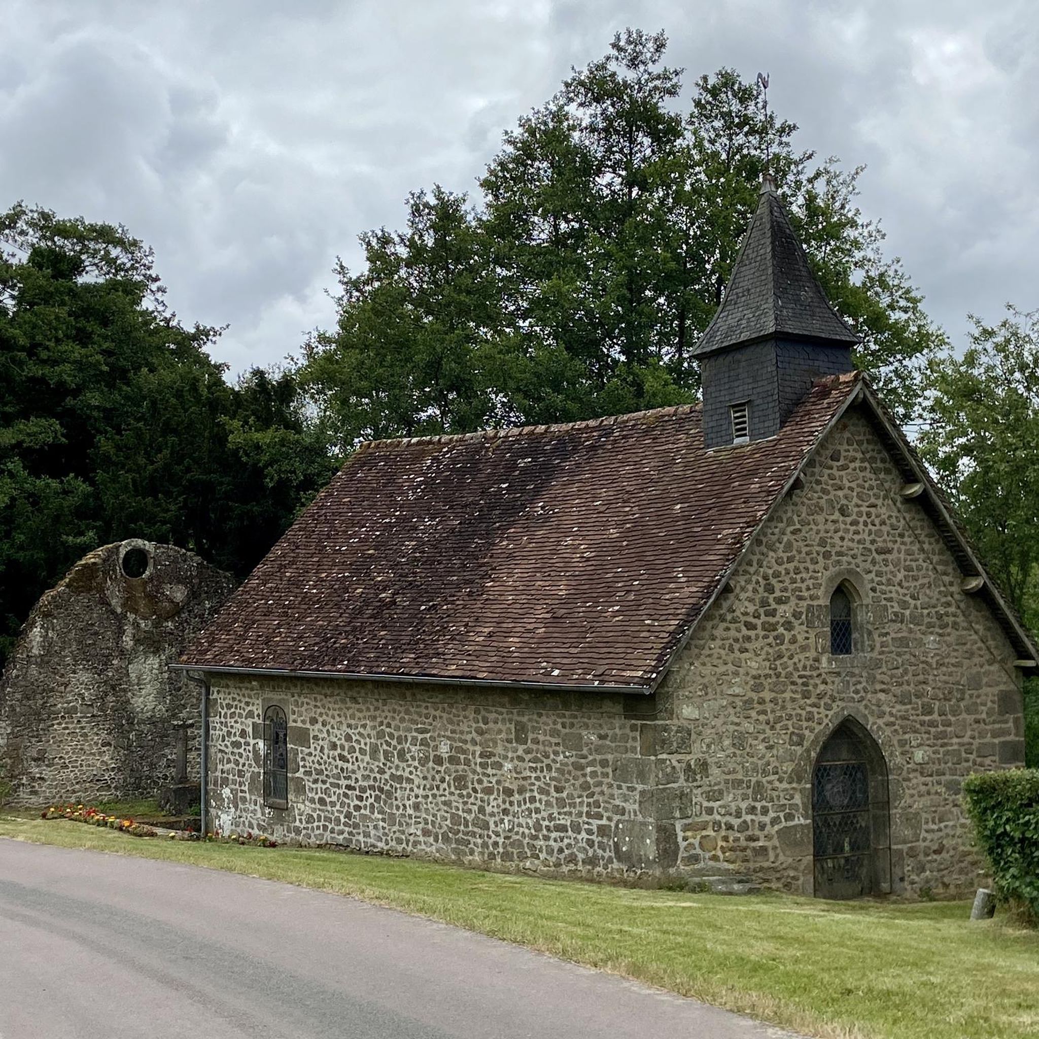
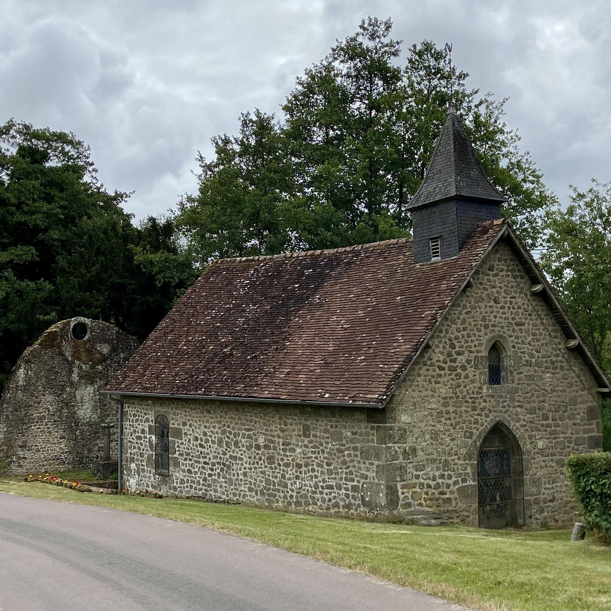
Yes, there are several notable landmarks. You can visit historic sites like Carrouges Castle or Rânes Castle. Chapels such as Saint Anthony Chapel are also found in the vicinity of some routes.
Are the hiking trails in La Chaux suitable for families with children?
Many trails in La Chaux are suitable for families, especially the easy and moderate routes. The region's gentle gradients and well-maintained paths, particularly through the Forêt de Chaux, make for pleasant family outings. The Lande Forêt Pond loop from Le Grais is a shorter, easy option that families might enjoy.
What is the best time of year to go hiking in La Chaux?
The best time for hiking in La Chaux is generally from spring to autumn when the weather is mild and the natural landscapes are vibrant. Clear days can offer stunning views, including distant peaks like Mont Blanc from the French side, or the Alps from the Swiss side. Winter hiking is also possible, but some trails might be more challenging due to snow or ice.
Are there any viewpoints with panoramic vistas along the trails?
Yes, many trails offer picturesque views. From the French side of La Chaux, some hikes provide stunning vistas of surrounding peaks like Saint-Jean-d'Aulps, the Roc d'Enfer, and even Mont Blanc on clear days. In the Swiss La Chaux-de-Fonds region, hikers might catch glimpses of the majestic Alps when the weather is clear, especially from higher elevations.
What do other hikers say about the trails in La Chaux?
The trails in La Chaux are highly regarded by the komoot community, with an average rating of 4.5 out of 5 stars from over 100 reviews. Hikers often praise the quiet woodlands, the varied terrain, and the opportunity to explore natural features like the Lande Forêt Pond and ancient forests.
Is parking available at the trailheads in La Chaux?
While specific parking details vary by trailhead, many hiking areas in La Chaux, particularly those leading into the Forêt de Chaux or to popular loops, typically offer designated parking facilities. It's advisable to check individual route descriptions for precise parking information.
Are there any trails that feature water bodies like lakes or rivers?
Absolutely. The region is home to several beautiful water features. You can hike around the Lande Forêt Pond, which is a central feature of several popular routes. In the Swiss La Chaux-de-Fonds area, the Doubs river appears as a reservoir, waterfall, and idyllic river along different sections of the trails, while the French side boasts lakes like Lac du Fioget and Lac de Narlay.
Most popular attractions around La Chaux

Get inspired with the komoot mobile app


Explore more
Browse the best Hikes in other regions.
