The best walks and hikes around Montourtier
4.6
(82)
588
hikers
40
hikes
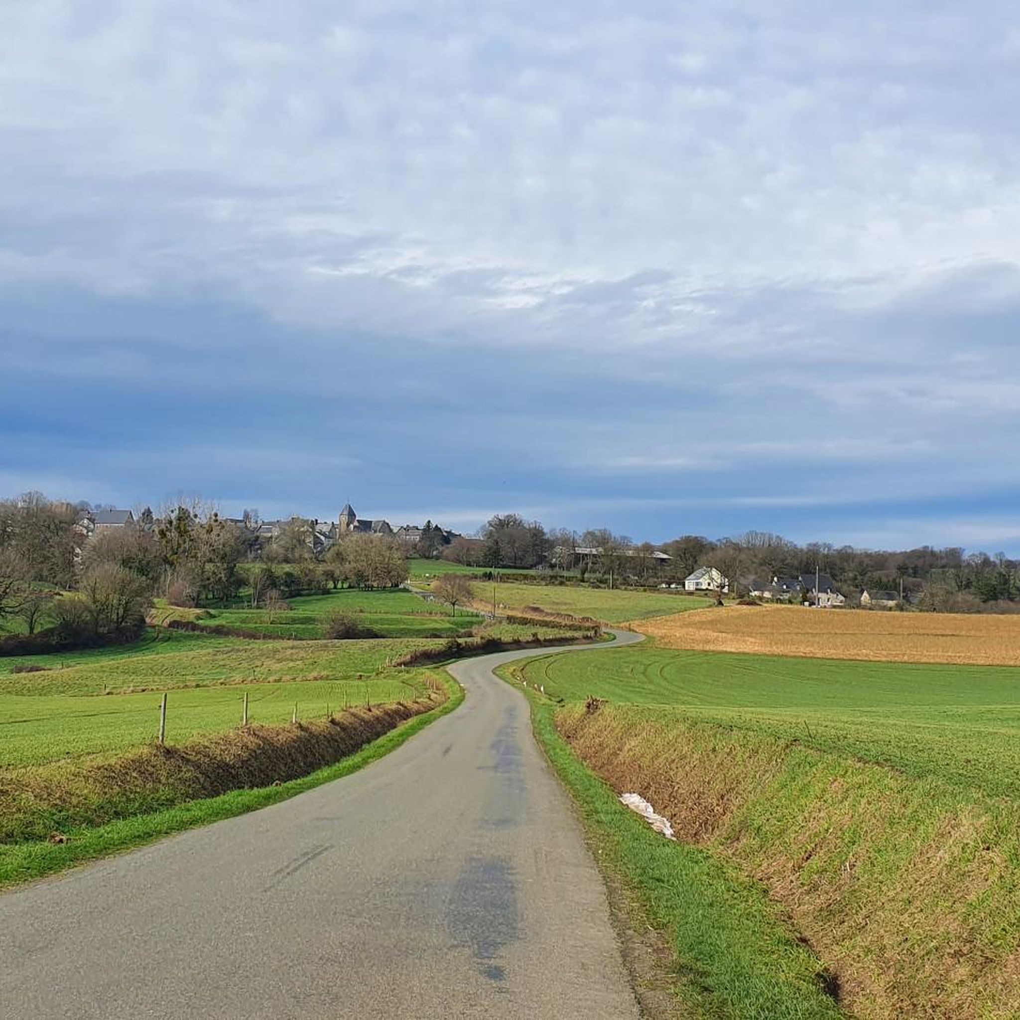
Hiking around Montourtier offers diverse landscapes characterized by a blend of natural beauty and historical significance within the Mayenne department of France. The region features ancient ponds, such as the Étang du Gué de Selle, which provide serene lakeside walking paths. Hikers can explore a varied terrain that includes forests, valleys, and gentle hills, with routes often incorporating historical sites like the Château de Bourgon. The area provides a network of trails suitable for discovering the landscapes of the Laval…
Last updated: July 4, 2026
4.2
(9)
35
hikers
8.45km
02:12
60m
50m
Hike the Château et étang de Neuvillette et théatre gallo-romaine loop, a moderate 5.3-mile (8.5 km) trail blending history and nature.
3.99km
01:01
10m
10m
Easy hike. Great for any fitness level. Easily-accessible paths. Suitable for all skill levels.

Sign up for free
5.0
(2)
16
hikers
10.9km
02:50
70m
70m
Moderate hike. Good fitness required. Easily-accessible paths. Suitable for all skill levels.
5.0
(2)
15
hikers
8.68km
02:17
80m
80m
Moderate hike. Good fitness required. Easily-accessible paths. Suitable for all skill levels.
10
hikers
19.3km
05:10
240m
240m
Hard hike. Very good fitness required. Easily-accessible paths. Suitable for all skill levels.
Get access to more routes and recommendations from other explorers.
Sign up for free
Already have an account?
Our route recommendations are based on thousands of hikes, rides, and runs completed by other people on komoot.
Start today with a free account
Your next adventure awaits.
Login or Signup



Tips from the Community


Nice site, with a brasserie to warm up and eat a good hamburger.
0
0

This chapel was built in 1402 and was a stopover for pilgrims en route to Mont-Saint-Michel. Until around 1840, the site housed a shelter, a bread oven and a cellar to facilitate the stopover of pilgrims. Today, one can enjoy the site for its tranquility and its breathtaking view. The perfect place to take a break from your run.
2
0
The Etang du Gué de Selle has been around for a long time, unlike many artificial ponds in France. It is mentioned as early as 1498. As you walk around the pond, you will see abundant flora and fauna. The pond is a migratory stopover for birds and you may be able to observe a nationally protected species, the shoreline of the pond.
2
0
This castle was built in the 10th century. Half a century later, the castle became a garrison castle. 400 years later, it served as a prison in the 18th century. In the middle of town, the castle gardens are worth wandering through for a quiet moment.
3
0
This chapel was built in 1402 and was a stopover for pilgrims on their way to Mont-Saint-Michel. Until around 1840, the site housed a shelter, a bread oven and a cellar to facilitate the stopover of pilgrims. Today, one can enjoy the site for its tranquility and its breathtaking view.
3
0
The Etang du Gué de Selle has been around for a long time, unlike many artificial ponds in France. It is mentioned as early as 1498. As you walk around the pond, you will see abundant flora and fauna. The pond is a migratory stopover for birds and you may be able to observe a nationally protected species, the pond littoral.
2
0
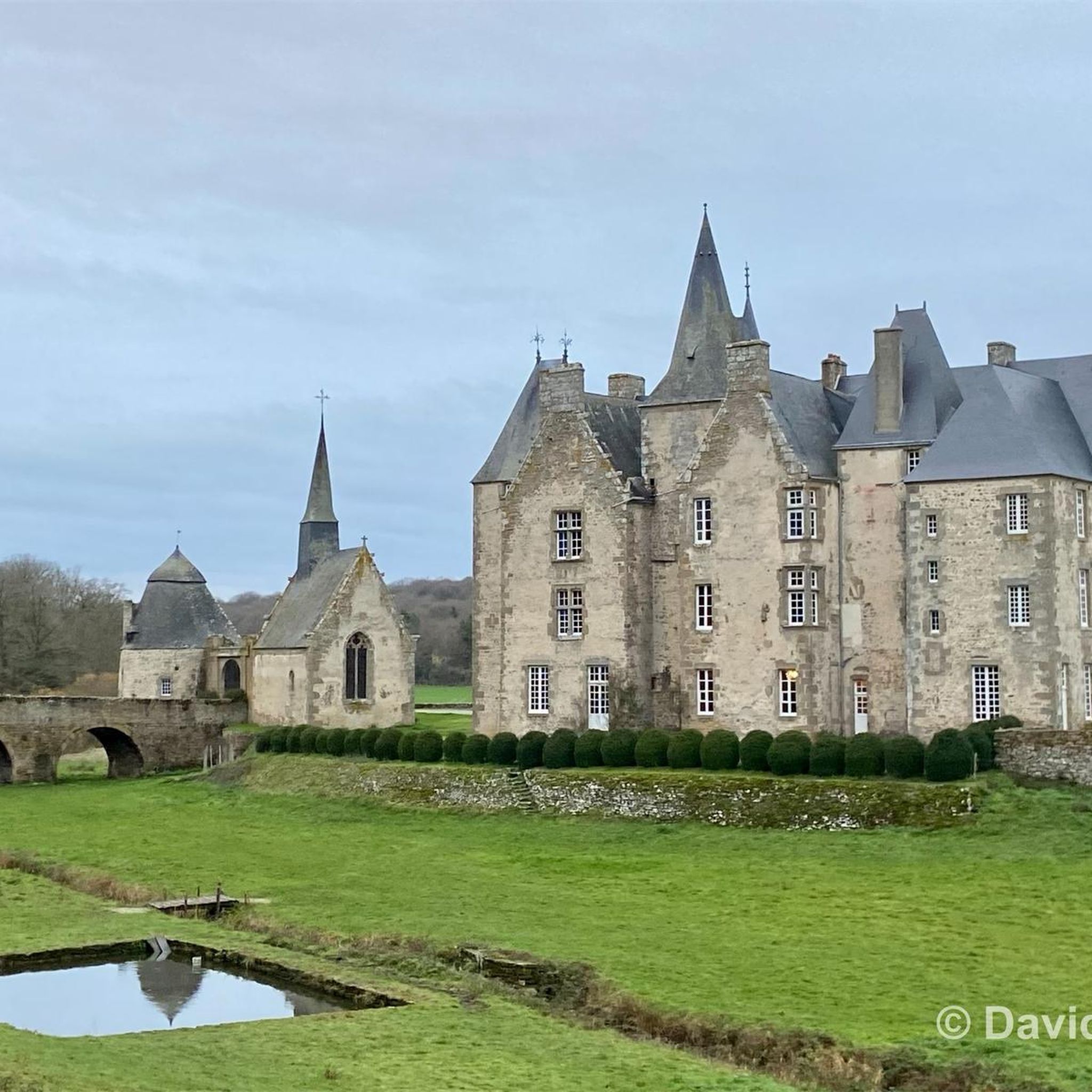
This superb castle deserves to be discovered. To take a picture or simply to admire its towers and its splendour. In its time, it was also the subject of one or two postcards.
2
0
Frequently Asked Questions
How many hiking trails are available around Montourtier?
There are over 40 marked hiking trails around Montourtier, catering to various skill levels from easy strolls to more challenging paths. The region offers a diverse network of routes within the Coëvrons region.
What kind of terrain can I expect on hikes in Montourtier?
The terrain around Montourtier is generally gentle, characterized by river valleys, rural paths, fields, and small woods. You'll find pleasant walks around ancient ponds and through diverse natural landscapes, making it accessible for most hikers.
Are there easy hiking options suitable for beginners or casual walkers?
Yes, Montourtier offers 13 easy hiking routes. A great option for a peaceful walk is the Etang du gué de Selle — loop from Mézangers, which is an easy 2.5-mile (4.0 km) path around a notable pond, known for its flora and fauna.
What natural features or landmarks can I see along the hiking trails?
Many trails incorporate natural features and historical landmarks. You can explore serene bodies of water like the Gué de Selle Pond, which is a significant natural feature and a migratory stopover for birds. Some routes also pass by historical sites such as the Château de Mayenne or offer views from the View of Montaigu chapel.
Are there any circular hiking routes in the Montourtier area?
Yes, many of the trails in Montourtier are circular, allowing you to start and end at the same point. For example, the Castles and Ponds of Jublains Circuit is a moderate 5.3-mile (8.5 km) loop that explores historical sites and natural water features.
What do other hikers enjoy most about hiking in Montourtier?
The hiking trails in Montourtier are highly rated by the komoot community, with an average score of 4.7 stars from over 70 reviews. Hikers often praise the region's blend of natural beauty, including ancient ponds and gentle valleys, and the opportunity to discover historical points of interest along well-maintained paths.
Are the hiking trails around Montourtier suitable for families with children?
Yes, the gentle terrain and numerous easy routes make Montourtier a great destination for family-friendly hikes. Many trails offer accessible paths around ponds and through rural landscapes, providing enjoyable outings for all ages. The Etang du gué de Selle — loop from Mézangers is an excellent easy option for families.
Can I bring my dog on the hiking trails in Montourtier?
Generally, dogs are welcome on many of the hiking trails in the Montourtier region, especially on rural paths and through fields. However, it's always advisable to keep your dog on a leash, particularly in areas with livestock or protected wildlife, and to check specific trail regulations if available.
What is the best time of year to go hiking in Montourtier?
The Mayenne department, where Montourtier is located, offers pleasant hiking conditions throughout much of the year. Spring and autumn provide mild temperatures and beautiful scenery, with blooming flora or vibrant fall colors. Summer is also suitable, though it can be warmer, while winter offers a different, quieter charm, especially on the gentler paths.
Is public transport available to reach hiking trailheads in Montourtier or nearby areas like Jublains and Mézangers?
While Montourtier is primarily accessed by car, some public transport options might connect larger towns in the Mayenne department. For specific trailheads in Montourtier, Jublains, or Mézangers, it's recommended to check local bus schedules or consider driving, as direct public transport to all starting points may be limited. Parking is generally available near popular trailheads.
Are there any longer or more challenging hikes for experienced trekkers?
Yes, for those seeking a greater challenge, Montourtier offers 3 difficult routes. One such option is the View of Montaigu loop from Mézangers, a demanding 11.9-mile (19.3 km) trail with significant elevation gain, offering expansive views.
Where can I find more information about the extensive hiking network in the Coëvrons region?
The broader Coëvrons region, encompassing Montourtier, boasts over 500 kilometers of marked footpaths. You can find more details about the extensive network of 50 dedicated hiking trails, including options from easy to difficult, on the local tourism website: coevrons-tourisme.com.
Most popular routes around Montourtier
Most popular attractions around Montourtier

Get inspired with the komoot mobile app


Explore more
Browse the best Hikes in other regions.
