The best road cycling routes around Les Yveteaux
4.7
(3)
234
riders
131
rides
Road cycling routes around Les Yveteaux are characterized by the undulating terrain of "Suisse Normande," featuring significant elevation changes. The region includes meandering rivers, gorges, and valleys, alongside dense forests such as Les Andaines, Ecouves, and Perseigne. Cyclists encounter a varied topography with both challenging climbs and rewarding descents, often providing views of the Normandy countryside. The artificial Lac de Rabodanges also offers picturesque routes bordered by forests and rocks.
Best road cycling routes around Les Yveteaux
- The most popular…
Last updated: July 6, 2026
18
riders
124km
05:39
1,240m
1,240m
Hard road ride. Very good fitness required. Mostly well-paved surfaces and easy to ride.
15
riders
49.1km
02:29
750m
750m
Moderate road ride. Good fitness required. Mostly well-paved surfaces and easy to ride.

Sign up for free
5.0
(1)
9
riders
45.1km
02:08
560m
560m
Moderate road ride. Good fitness required. Mostly well-paved surfaces and easy to ride.
6
riders
47.3km
02:17
470m
470m
Moderate road ride. Good fitness required. Some segments of this route may be unpaved and difficult to ride.
5
riders
33.2km
01:32
340m
340m
Moderate road ride. Good fitness required. Mostly well-paved surfaces and easy to ride.
Get access to more routes and recommendations from other explorers.
Sign up for free
Already have an account?
Our route recommendations are based on thousands of hikes, rides, and runs completed by other people on komoot.
Start today with a free account
Your next adventure awaits.
Login or Signup
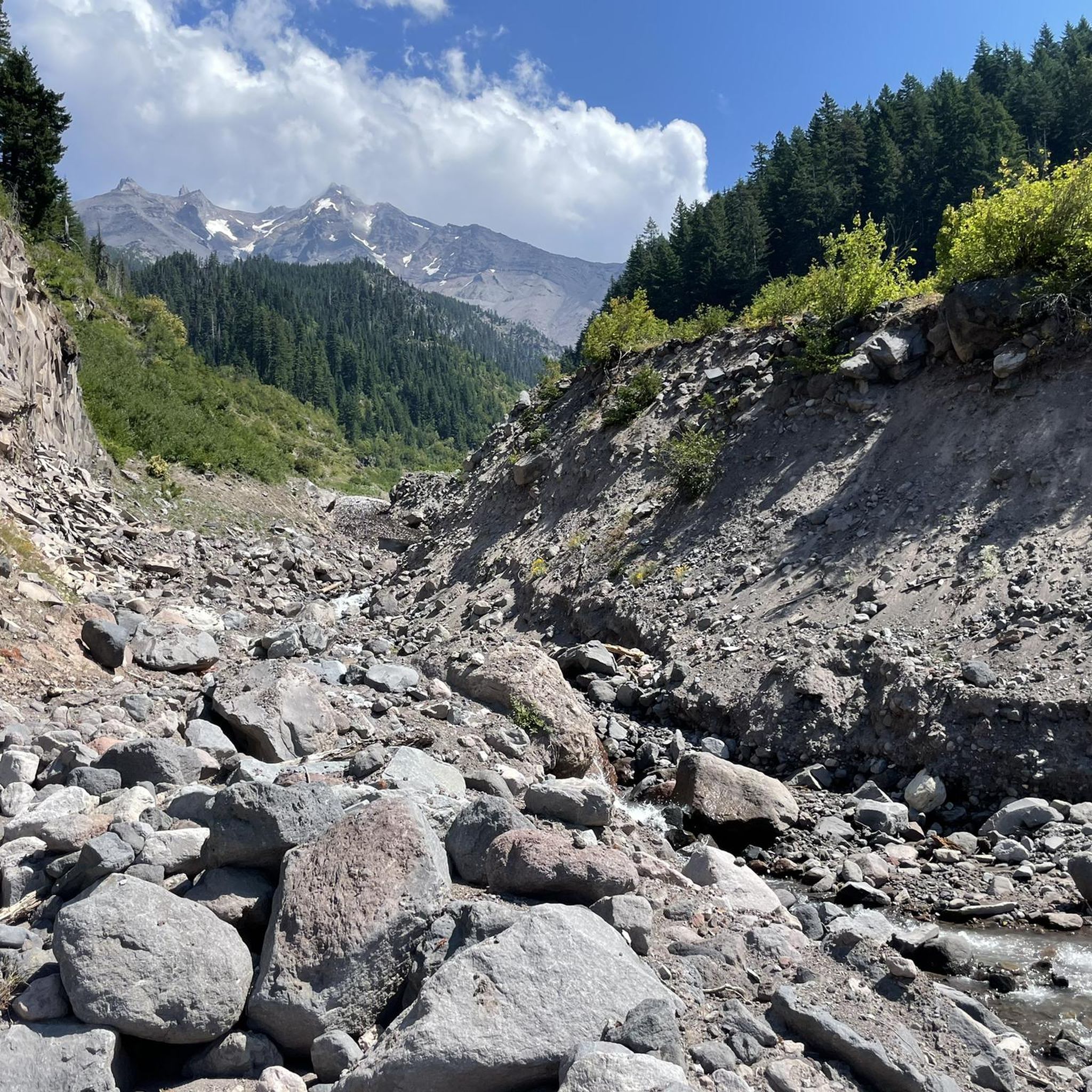
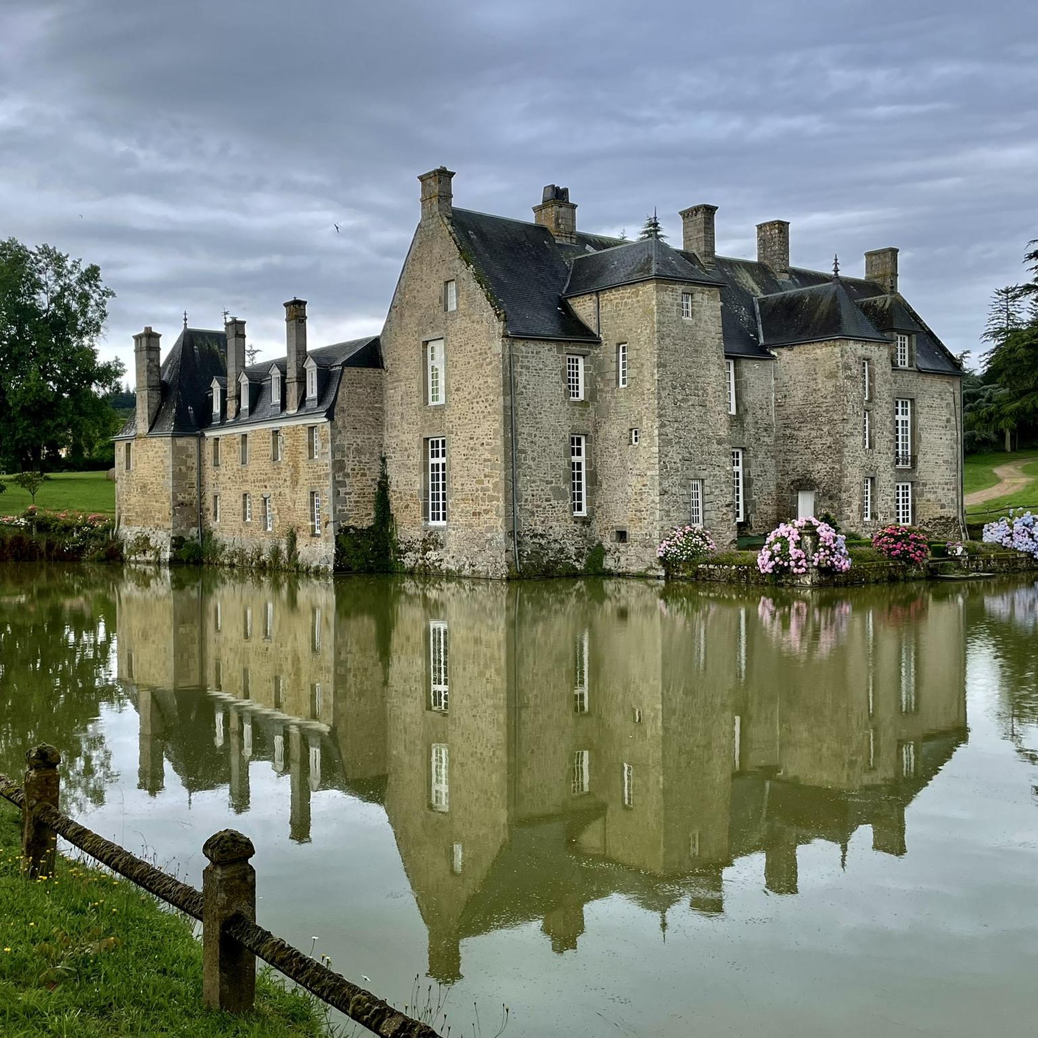


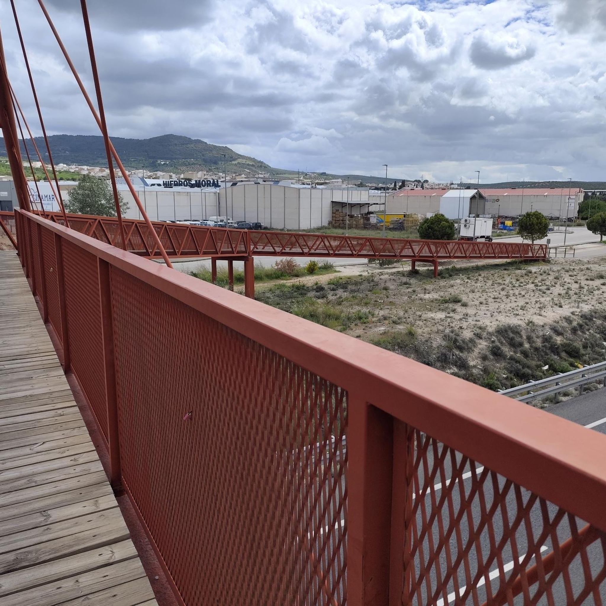
Tips from the Community

The town has two old market halls dating back to the 17th and 18th centuries. While one of them has been closed for renovation into a community hall, the second has remained open and hosts local events and hikers looking for a pleasant spot to picnic and rest.
0
0

For those who are fond of mountainous landscapes in Normandy: the Suisse Normande.
0
0

2 small halls converted into a rest area for a well-deserved break
0
0


Nice little cafe/epicerie in centre of town, open on Sunday (in August at least)
0
0
Gardens open Monday to Friday in summer, closed for lunch - check website
0
0
take the time to appreciate the panorama of the Orne gorges!
0
0

Many nice descents but be prepared for long winding roads up too. Easy to follow Velo Francette (43) Signage to Clecy from here. look out for taps in the church grounds if need to fill up on water. Breathe taking Scenery.
2
0
Frequently Asked Questions
What is the general terrain like for road cycling around Les Yveteaux?
The region around Les Yveteaux, often called "Suisse Normande," is characterized by its hilly and varied topography. You can expect routes with significant elevation gains, offering both challenging climbs and rewarding descents. The landscape features meandering rivers like the Orne, gorges, valleys, and dense forests such as Les Andaines, Ecouves, and Perseigne, providing 360° views of the typical Normandy countryside.
How many road cycling routes are available in the Les Yveteaux area?
There are over 130 road cycling routes around Les Yveteaux. This includes a wide range of options, with 25 routes considered easy, 104 moderate, and 8 difficult, catering to various skill levels.
What do other cyclists say about road cycling in Les Yveteaux?
The road cycling routes around Les Yveteaux are highly rated by the komoot community, with an average score of 4.0 stars from more than 3 reviews. Over 200 road cyclists have used komoot to explore the varied terrain, often praising the scenic beauty and diverse challenges offered by the region's undulating landscape.
Are there any scenic viewpoints or natural features to look out for on road cycling routes?
Yes, many routes offer picturesque views of the Normandy countryside. A significant natural feature is the Lande Forêt Pond, and the artificial Lac de Rabodanges, which is bordered by forests and rocks, provides particularly scenic cycling routes. You'll also encounter the lush green landscapes of the Orne River's gorges and valleys.
What historical or cultural landmarks can I visit while road cycling near Les Yveteaux?
Beyond the natural beauty, you can incorporate cultural stops into your rides. Notable landmarks include Rabodanges Castle and Rânes Castle. The area also features charming religious buildings like the Old Saint-Aubert Church and the Saint-Roch Chapel.
Are there any long-distance cycling routes that pass through or near Les Yveteaux?
Yes, the wider region around Les Yveteaux is part of major French itineraries. You can find sections of routes like the Vélo Francette and La Véloscénie, which connects Paris to Mont Saint-Michel. These routes often utilize greenways and small, well-marked roads.
Can I find circular road cycling routes around Les Yveteaux?
Absolutely. Many of the routes in the area are designed as loops, allowing you to start and end in the same location. Examples include the popular Charming panorama – La Roche d'Oëtre loop from Putanges-le-Lac and the scenic Rabodanges – Charming panorama loop from Putanges-Pont-Écrepin.
Are there options for easier or moderate road cycling routes?
Yes, while the region is known for its hilly terrain, there are options for various abilities. You can find 25 easy and 104 moderate road cycling routes. For example, the Rabodanges – Rabodanges Castle loop from Putanges-Pont-Écrepin is a moderate 33 km route that takes about 1 hour 30 minutes.
Where can I find parking for road cycling routes in Les Yveteaux?
While specific parking locations for each route aren't detailed, the presence of dedicated cycling infrastructure and 'Accueil Vélo' approved services in the region suggests that parking facilities are generally available near popular starting points or villages. It's advisable to check specific route descriptions on komoot for recommended parking spots.
Is public transport an option for accessing road cycling routes near Les Yveteaux?
The region's focus on cycling tourism, including major routes like La Véloscénie, implies some level of public transport accessibility, particularly to larger towns or hubs. However, for direct access to specific rural starting points, personal transport is often more convenient. Always check local transport schedules and bike carriage policies.
Are there any specific cycling services or facilities available for road cyclists in the area?
Yes, the region around Les Yveteaux has 'Accueil Vélo' approved campsites and services. This means you can often find facilities tailored for cyclists, such as repair services, secure bike storage, and advice on local routes, ensuring a more comfortable cycling experience.
What are some challenging road cycling routes for experienced riders?
For experienced riders seeking a challenge, the region offers several difficult routes. A notable option is La Roche d'Oëtre – Charming panorama loop from Putanges-le-Lac, a demanding 132.9 km path with substantial elevation gain through the region's varied topography.
Most popular routes around Les Yveteaux
Most popular attractions around Les Yveteaux

Get inspired with the komoot mobile app


Explore more
Browse the best Road cycling routes in other regions.
