The best running trails around Jullié
4.6
(95)
4,508
runners
343
runs
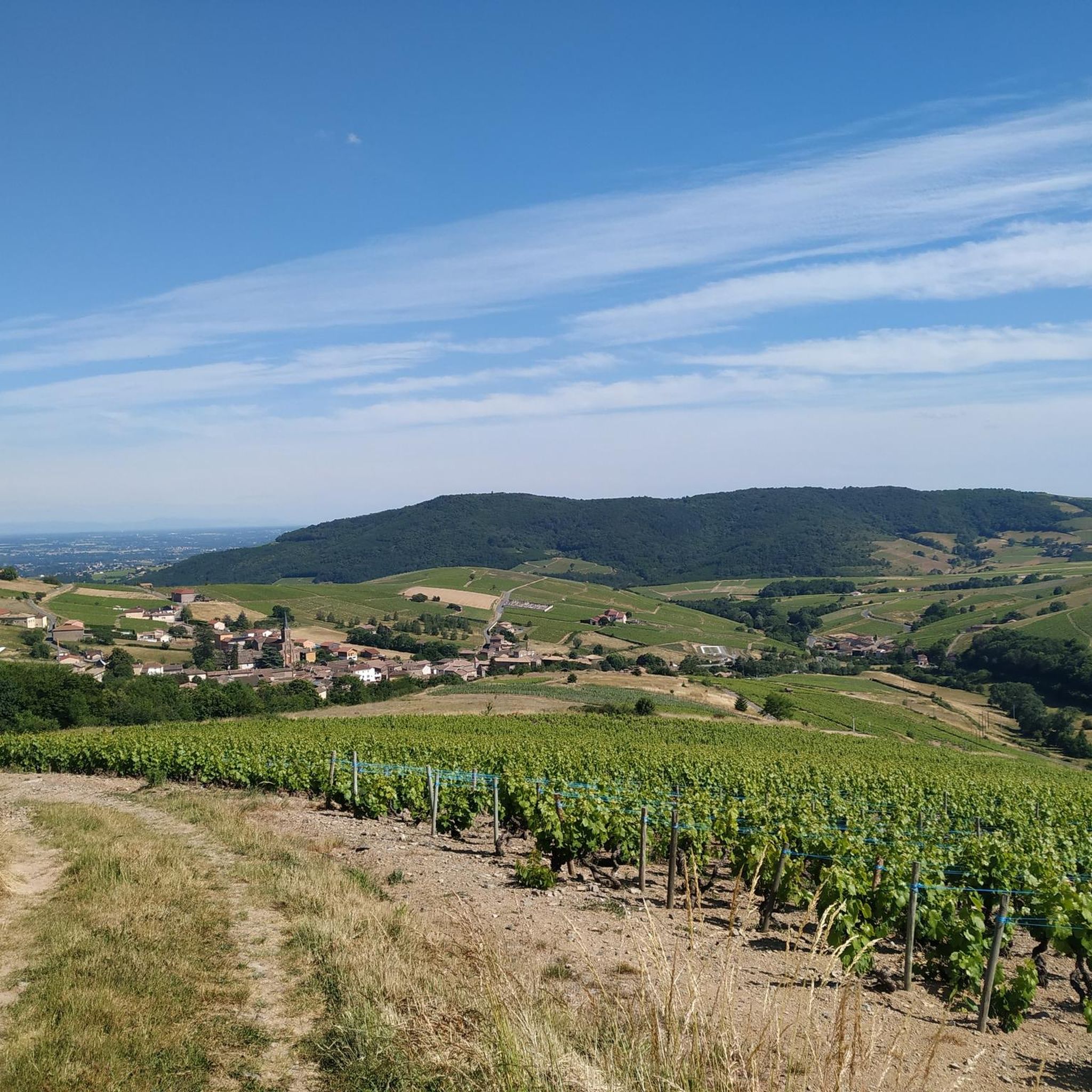
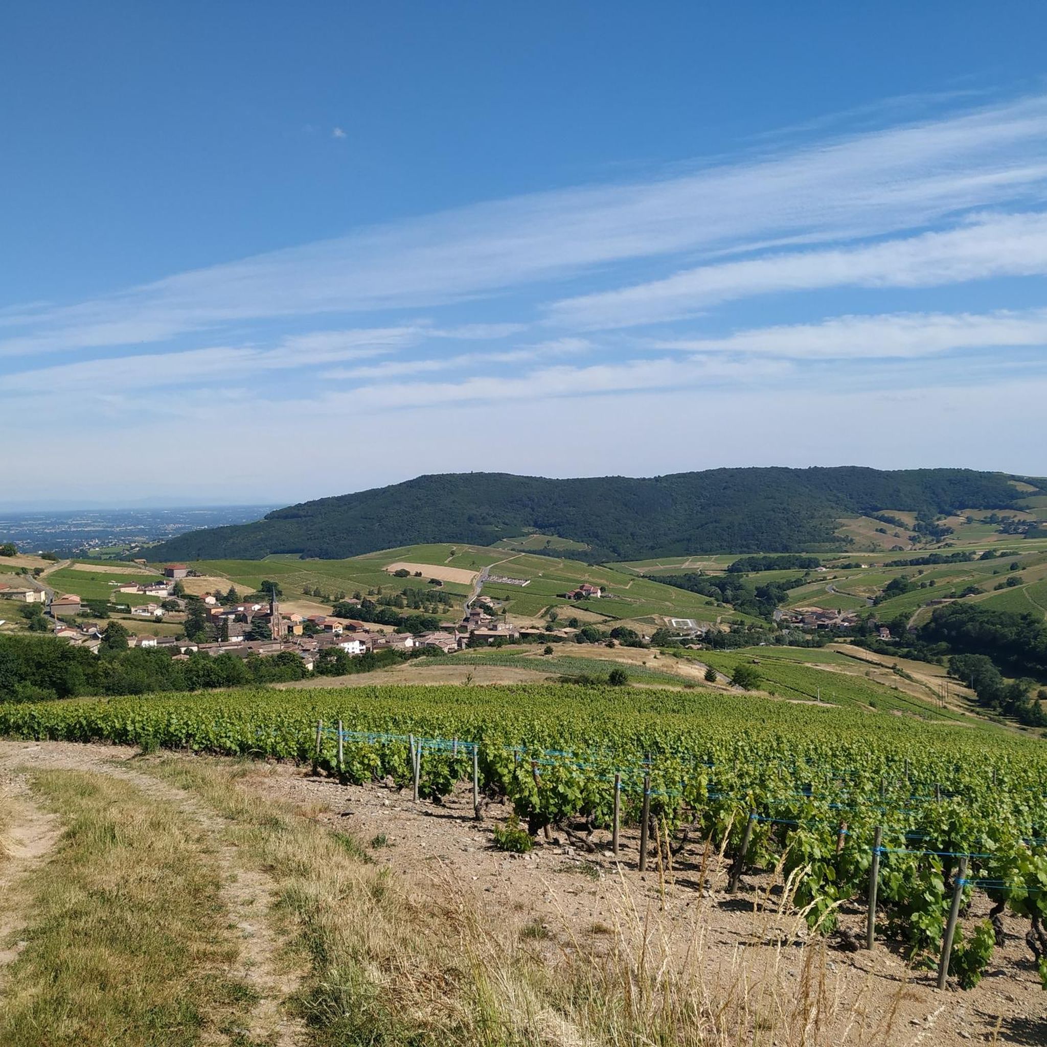
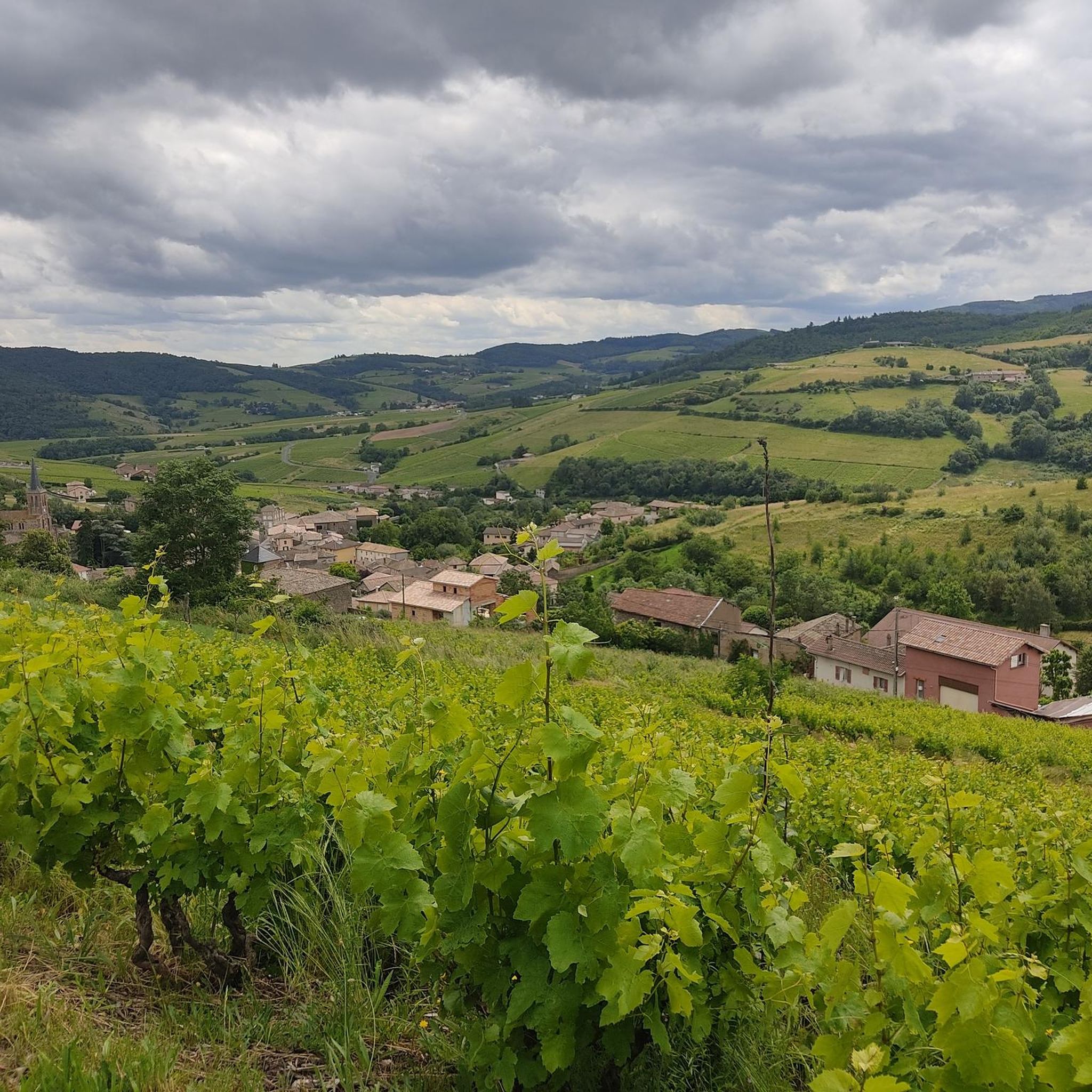
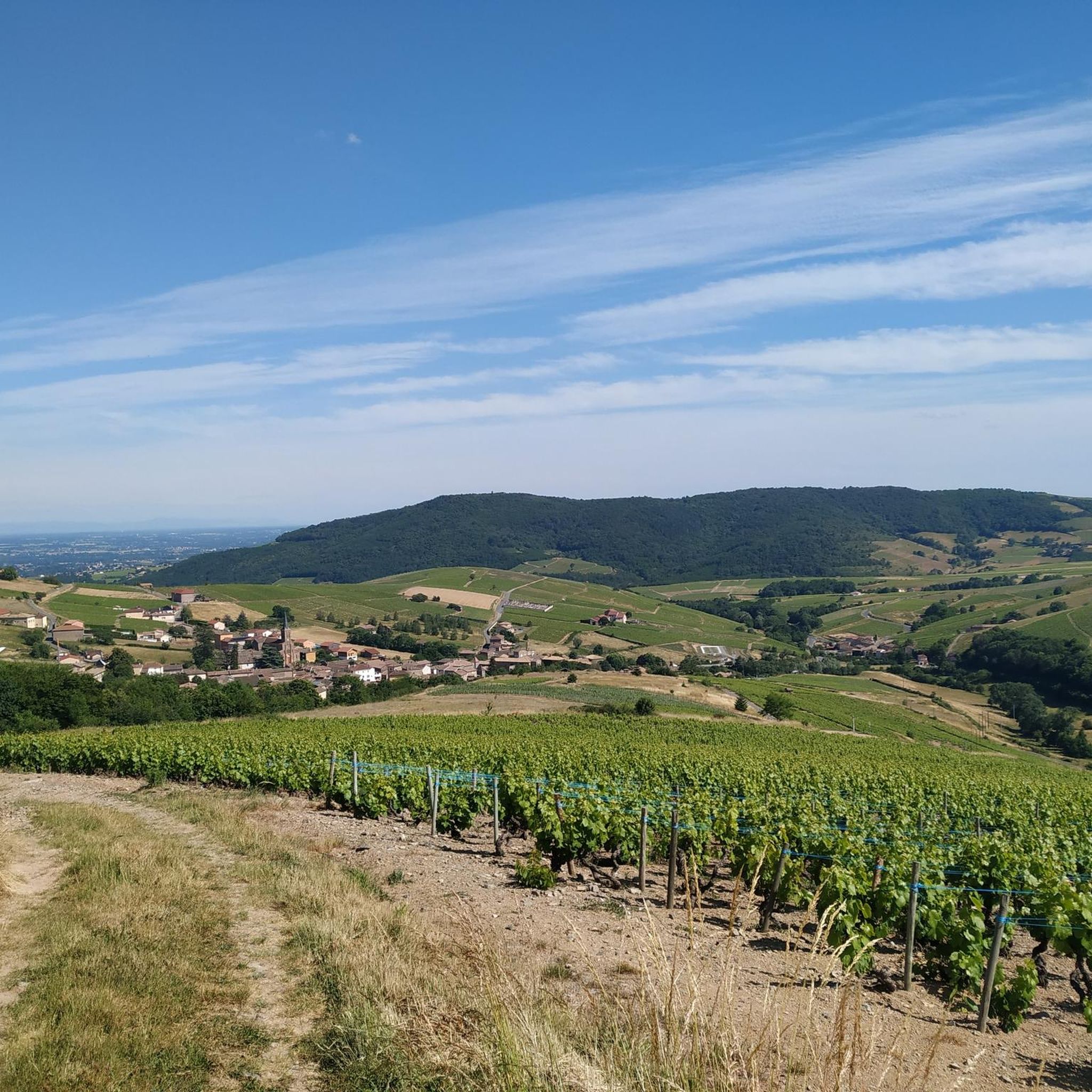
Jogging routes around Jullié, located in the Rhône department of France, offer a diverse and engaging landscape for runners. The region is characterized by a blend of natural beauty, featuring vineyards, forests, and valleys, which provide varied terrain and scenic vistas. The undulating landscape, including gentle slopes and more challenging ascents, caters to different fitness levels, making it an excellent destination for running.
Best jogging routes around Jullié
- The most popular jogging route is Montagne de Remont Circuit, a…
Last updated: October 14, 2026
88
runners
19.2km
02:29
590m
590m
Hard run. Very good fitness required. Mostly paved surfaces. Suitable for all skill levels.
5.0
(1)
111
runners
70.9km
09:37
2,430m
2,430m
Hard run. Very good fitness required. Sure-footedness, sturdy shoes and alpine experience required.

14
runners
12.1km
01:42
510m
510m
Hard run. Very good fitness required. Mostly paved surfaces. Suitable for all skill levels.
13
runners
20.7km
02:41
710m
710m
Hard run. Very good fitness required. Mostly paved surfaces. Suitable for all skill levels.
4.0
(1)
7
runners
5.33km
00:34
70m
70m
Moderate run. Good fitness required. Mostly paved surfaces. Suitable for all skill levels.
Get access to more routes and recommendations from other explorers.
Already have an account?
Our route recommendations are based on thousands of hikes, rides, and runs completed by other people on komoot.
Start today with a free account
Your next adventure awaits.

Tips from the Community

Although the pass is located in France and is not extremely high, its name translates to "Siberia Pass". The name goes back to the often very cold, snow-rich winds and the harsh weather conditions in winter.
1
0
The viewpoint is located in the well-known Beaujolais wine region, in the municipality of Chénas. It is an old stone ruin (historically often referred to as Cabane des Chasseurs or hunter's hut), which has been equipped with a modern metal staircase and a viewing platform. The ruin is located at 515 meters above sea level and offers hikers a spectacular 360-degree panoramic view of the surrounding vineyards and valleys of the region.
2
0
The Col de Gerbet (612 m) is an idyllic mountain pass in the French wine-growing region of Beaujolais. Depending on the starting point, various roads with little traffic lead up to the pass via the D137. From Juliénas (south-east approach): This route is 7.3 kilometers long. It overcomes 342 meters of altitude with a steady, moderate gradient of 4.7% on average. The road winds through shady forest sections. From La Croix Blanche (west approach): A tougher variant 4.5 kilometers long. Here you conquer 270 meters of altitude with an average gradient of 6% and ramps of up to 11%.
1
0


Juliénas is a charming small commune in Beaujolais surrounded by vineyards. The village is also known for its appellation. Its vineyards, its terroir, its cellars are conducive to wine tourism if that interests you.
0
0

Since a cross crowning the summit is often found on mountains, the small sacred monument found here – consisting only of the crossbeams, without the body of the crucified Christ – should come as no surprise to bikers. From its prominent location, this Christian symbol of salvation is visible from afar. The builders of the "Croix de Rochefort" certainly also intended to invoke God's blessing on the surrounding land – and especially the people living there. An orientation panel located a little way off explains the landscape to the viewer.
0
0

A perfect complement to the Solutré rock and Mont de Pouilly.
2
0

The 495 m high Rock of Solutré lies in the heart of a nature reserve recognized as a Grand Site de France, comprising Solutré, Pouilly and Vergisson.
0
0
Frequently Asked Questions
How many running routes are available around Jullié?
There are over 290 running routes in the Jullié area, offering a wide variety of options for all fitness levels. These include 7 easy routes, 165 moderate routes, and 123 difficult routes, ensuring there's a path for every runner.
What kind of terrain can I expect on the jogging trails in Jullié?
The jogging trails around Jullié feature a diverse landscape, including picturesque vineyards, tranquil forests, and scenic valleys. You'll encounter undulating terrain with both gentle slopes and more challenging ascents, characteristic of the Beaujolais region.
Are there any easy running routes suitable for beginners in Jullié?
Yes, Jullié offers several easy running routes perfect for beginners or those looking for a relaxed jog. While specific easy routes aren't detailed here, the region's network includes paths with modest elevation changes, often passing through vineyards and forests, providing a pleasant experience.
What are some notable landmarks or viewpoints I can see while running near Jullié?
Many running routes offer stunning views and pass by significant landmarks. You can enjoy panoramic vistas from the Rochefort Cross, or explore the impressive natural monuments like Roche de Solutré and Vergisson Rock. The area is also dotted with charming features like windmills and the Rémont Mountain viewpoint.
Are there any family-friendly running paths in the Jullié region?
While specific family-friendly running paths are not listed, many of the easier and shorter circuits around Jullié are suitable for families. The region's well-marked hiking circuits, some as short as 5.3 km, can be adapted for family jogs, offering a great way to explore the natural beauty together.
What do other runners say about the trails in Jullié?
The running routes in Jullié are highly rated by the komoot community, with an average score of 4.4 stars from over 60 reviews. Runners often praise the varied terrain, the stunning vineyard views, and the well-maintained paths that cater to different ability levels.
Can I find circular running routes around Jullié?
Yes, many of the running routes in Jullié are circular, allowing you to start and finish at the same point. For example, the Montagne de Remont Circuit is a popular 8.2 km loop that offers a varied experience through the local landscape.
What is the best time of year to go jogging in Jullié?
Jullié offers beautiful running conditions throughout much of the year. Spring and autumn are particularly pleasant, with mild temperatures and the vineyards showcasing vibrant colors. Summer mornings and evenings are also ideal, while winter can offer crisp, clear runs, especially through the forests.
Are there any longer, more challenging running routes for experienced runners?
Absolutely. For experienced runners seeking a challenge, routes like the Rémont Mountain – View of the Vineyards loop from Juliénas offer extensive views over 19 km with significant elevation. Another demanding option is the La Grange du Bois – Col de la Sibérie loop from Cenves, spanning over 22 km with considerable ascents.
Are dogs allowed on the running trails in Jullié?
While specific regulations for each trail vary, generally, dogs are welcome on many outdoor trails in the Jullié region, especially if kept on a leash. It's always a good idea to check local signage or specific route details for any restrictions, particularly in protected natural areas or vineyards.
What are the typical distances of running routes in Jullié?
Running routes in Jullié vary significantly in length. You can find shorter paths for a quick jog, with many circuits ranging from 5 to 10 km. For longer runs, there are numerous options extending over 15 km, including challenging routes like the Mont de Besset loop from Juliénas, which is about 12 km.
Are there any running routes that offer views of the famous Beaujolais vineyards?
Yes, many running routes in Jullié traverse the heart of the Beaujolais wine region, offering spectacular views of the vineyards. The Rémont Mountain – View of the Vineyards loop from Juliénas is specifically known for its extensive vineyard panoramas, providing a truly immersive experience.
Most popular attractions around Jullié

Get inspired with the komoot mobile app


Explore more
Browse the best Running Trails & Routes in other regions.
