The best running trails around Vauxrenard
4.5
(99)
4,723
runners
326
runs
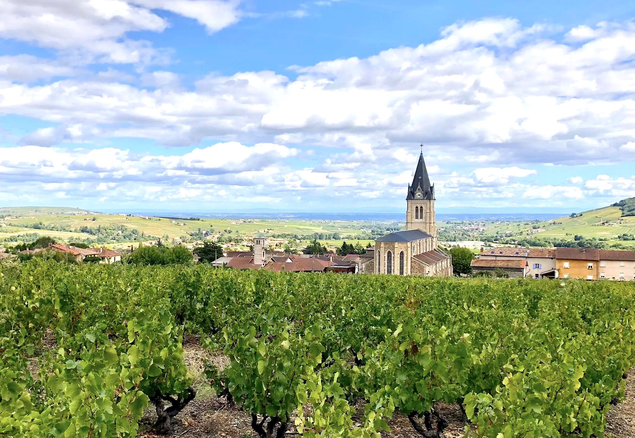
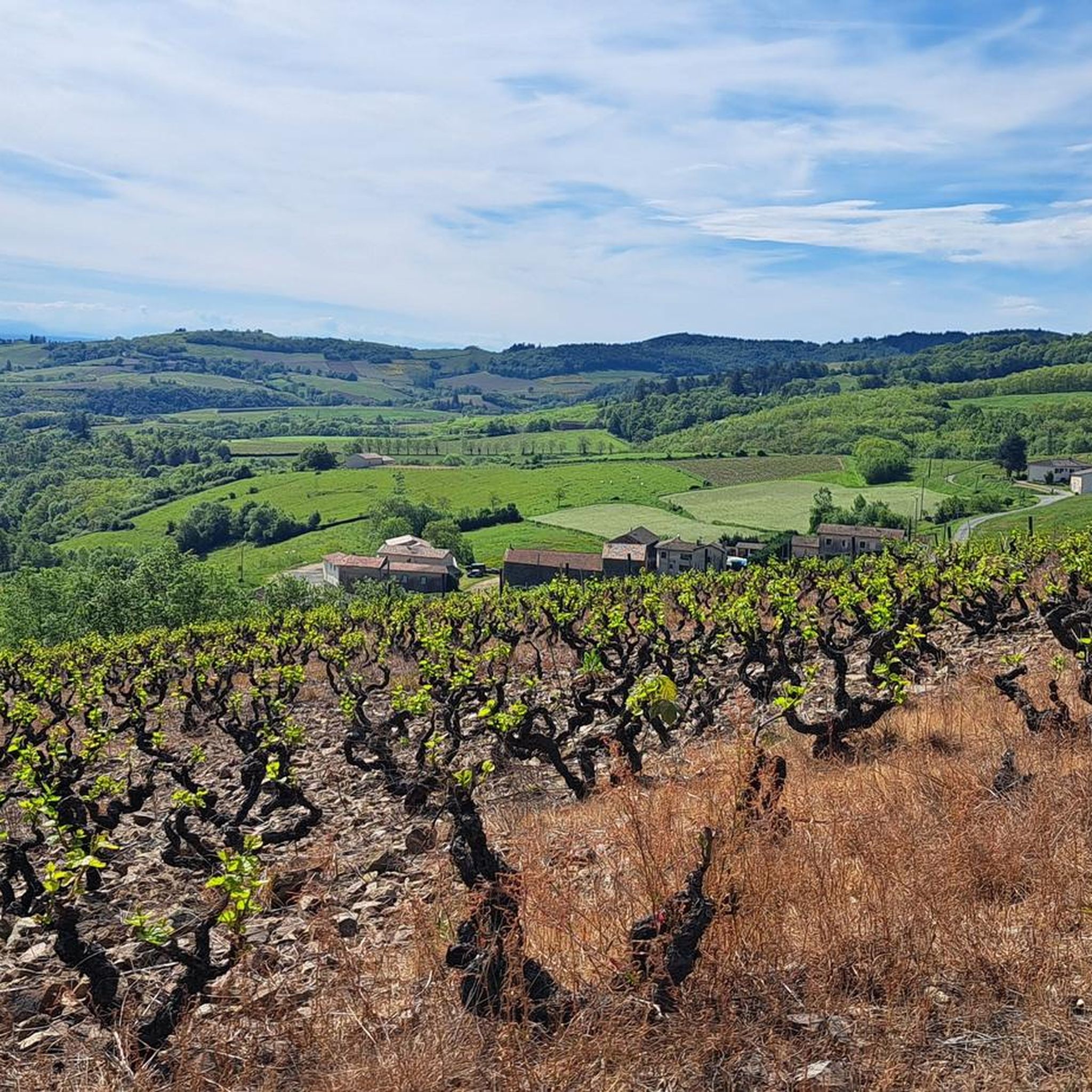
Jogging routes around Vauxrenard traverse a landscape characterized by rolling vineyards, dense forests, and varied elevation changes. The village is situated within a natural cirque, offering diverse terrain from gentle slopes to more challenging ascents. Runners can experience paths that wind through agricultural areas and shaded woodlands, providing a blend of open vistas and sheltered sections. This region, part of the Beaujolais mountains, offers a network of trails suitable for various running preferences.
Best jogging routes around Vauxrenard
- The most…
Last updated: October 14, 2026
3.0
(2)
67
runners
13.0km
01:39
470m
470m
Hard run. Very good fitness required. Mostly paved surfaces. Suitable for all skill levels.
10
runners
13.1km
01:44
380m
380m
Hard run. Very good fitness required. Sure-footedness, sturdy shoes and alpine experience required.

5.0
(1)
7
runners
9.75km
01:12
280m
280m
Moderate run. Good fitness required. Mostly paved surfaces. Suitable for all skill levels.
5.0
(1)
6
runners
7.47km
00:54
180m
180m
Moderate run. Good fitness required. Mostly paved surfaces. Suitable for all skill levels.
5
runners
14.5km
01:41
370m
370m
Hard run. Very good fitness required. Mostly paved surfaces. Suitable for all skill levels.
Get access to more routes and recommendations from other explorers.
Already have an account?
Our route recommendations are based on thousands of hikes, rides, and runs completed by other people on komoot.
Start today with a free account
Your next adventure awaits.
Other adventures around Vauxrenard

Tips from the Community

The Col de Durbize is a mountain pass at 550 meters above sea level in the municipality of Chiroubles, in the heart of the Beaujolais wine region. The pass is located in the Massif Central and, as an important road junction (intersection of roads D26, D86, and D18E1), connects surrounding wine villages such as Villié-Morgon and Beaujeu. It is particularly popular with road cyclists and hikers for its panoramic views.
0
0

Since a cross crowning the summit is often found on mountains, the small sacred monument found here – consisting only of the crossbeams, without the body of the crucified Christ – should come as no surprise to bikers. From its prominent location, this Christian symbol of salvation is visible from afar. The builders of the "Croix de Rochefort" certainly also intended to invoke God's blessing on the surrounding land – and especially the people living there. An orientation panel located a little way off explains the landscape to the viewer.
0
0

An imposing 5.20-meter-high and 900-kg wine sculpture, the Corten steel Chirouboam has proudly stood at the Col de Durbize since its inauguration on April 27, 2024. This monumental work, created by local sculptor Mathilde Pénicaud with characters drawn by Carine Baudet, symbolizes the identity of the Chiroubles cru, recognized as the highest of the ten Beaujolais crus with an average altitude of 410 meters. A true territorial marker visible from afar at an altitude of 543 meters, this giant bottle invites visitors to strike a pose and celebrates the viticultural excellence of this high-altitude appellation, while also being part of an innovative wine tourism approach for the region.
0
0
An imposing 6-meter white cross erected in 1931, weighing 1,200 kg and visible from Beaujeu. A symbol of protection for the Beaujolais region, it bears witness to a remarkable logistical feat during its installation.
0
0
The highest point at 892 meters offers an exceptional panorama of Beaujolais. Accessible by several routes, it represents a sporting challenge rewarded by breathtaking views.
1
0

Very beautiful panoramic view with orientation table at an altitude of 888 meters
0
0

Frequently Asked Questions
How many running routes are available in Vauxrenard?
Vauxrenard offers an extensive network of over 270 running routes. This includes a variety of trails, from easy jogs to more challenging trail running experiences, catering to different fitness levels.
Are there easy running trails for beginners in Vauxrenard?
Yes, Vauxrenard has a selection of easy running trails suitable for beginners. While many routes are moderate or difficult, there are 5 designated easy tours available, perfect for a gentle jog through the scenic landscape.
Can I find circular jogging routes in the Vauxrenard area?
Absolutely. Many of the running routes in Vauxrenard are circular, allowing you to start and finish at the same point. For example, the challenging Col du Fût d'Avenas – Rochefort Cross loop from Avenas is a popular circular option, as is the Col du Fût d'Avenas – Chiroubles Terrace loop from Avenas.
What kind of scenery can I expect while jogging in Vauxrenard?
Jogging in Vauxrenard offers a diverse and picturesque landscape. You'll run through rolling vineyards, dense forests, and experience varied elevation changes due to the village's position within a natural cirque. Many trails provide panoramic views stretching across the valley, and on clear days, you might even see the Alps. Paths like the Chemin des Dames are known for their beautiful views and welcome shade.
Are there any historical landmarks or attractions to see along the running routes?
Yes, Vauxrenard's trails often pass by interesting landmarks. You might encounter historical sites such as the superb 11th-century Romanesque church in the village center or the medieval Château du Thil. For specific highlights, consider exploring areas near the Rochefort Cross or the iconic Mont Brouilly, which are often part of longer routes.
What do other runners say about the trails in Vauxrenard?
The running routes in Vauxrenard are highly rated by the komoot community, with an average score of 4.3 stars from over 60 reviews. Runners often praise the varied terrain, the stunning panoramic views, and the blend of shaded forest paths and open vineyard trails that make each run unique and enjoyable.
What is the best time of year to go jogging in Vauxrenard?
Vauxrenard offers enjoyable running conditions throughout much of the year. Spring and autumn provide pleasant temperatures and vibrant scenery with blooming vineyards or colorful foliage. Summer runs are also popular, especially on trails like the Chemin des Dames which offer welcome shade from the sun. Winter can be beautiful, but runners should check local weather conditions for snow or ice.
Is parking available near the trailheads in Vauxrenard?
Yes, parking is generally available in and around Vauxrenard, particularly in the village center or at common starting points for popular trails. While specific parking areas for every trailhead aren't detailed, the region is accustomed to outdoor enthusiasts, and you'll typically find suitable spots to leave your vehicle.
Are dogs allowed on the jogging routes around Vauxrenard?
Many trails in Vauxrenard are dog-friendly, allowing you to enjoy a run with your canine companion. However, it's always recommended to keep your dog on a leash, especially when passing through vineyards, agricultural areas, or near livestock, and to respect local regulations regarding pets on trails.
Are there any longer, more challenging running routes for experienced runners?
Absolutely. Vauxrenard is well-suited for experienced runners seeking a challenge. Routes like the The Vernebois Cross – Chiroubles Terrace loop from Avenas, covering nearly 27 km with significant elevation gain, offer demanding terrain through vineyards and forests. Another difficult option is the Rochefort Cross loop from Avenas, which is over 12 km long.
Can I find routes that offer shade during warmer months?
Yes, Vauxrenard's landscape includes magnificent forests and tree-lined paths that provide excellent shade, particularly beneficial during warmer months. The Chemin des Dames, for instance, is noted for its shaded sections, offering a cooler running experience while still enjoying beautiful views.
Are there places to eat or drink near the running trails in Vauxrenard?
While Vauxrenard is a charming village, specific cafes or pubs directly on every trail are not common. However, you will find local establishments in the village center and surrounding towns where you can refuel after your run. It's a good idea to check opening hours in advance, especially in smaller communities.
What makes the running experience in Vauxrenard unique compared to other regions?
The unique combination of Vauxrenard's location within the Beaujolais mountains, its natural cirque, and the blend of vineyards and dense forests creates a distinctive running experience. You get varied terrain, from gentle slopes to challenging ascents, coupled with panoramic views that can stretch to the Alps, offering both a physical challenge and stunning natural beauty.
Most popular routes around Vauxrenard
Most popular attractions around Vauxrenard

Get inspired with the komoot mobile app


Explore more
Browse the best Running Trails & Routes in other regions.
