The best running trails around Saint-Cyr-En-Pail
4.5
(18)
704
runners
89
runs
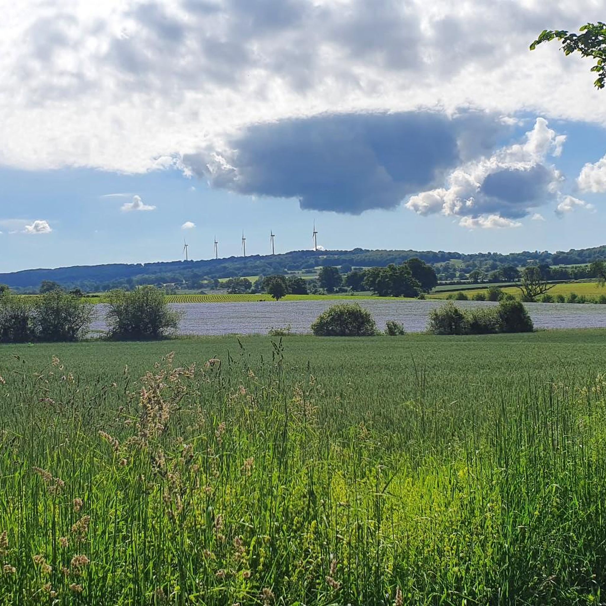
Jogging routes around Saint-Cyr-En-Pail offer diverse landscapes within the Mayenne department of France. The region is characterized by its rural nature, featuring the panoramic views of the Corniche de Pail and the extensive Multonne Forest. Elevations in the area range, with the nearby Mont des Avaloirs reaching 376m, providing varied terrain from moors and deciduous woodlands to "sunken paths" and open vistas. This natural environment provides a range of running experiences for different ability levels.
Best jogging routes around Saint-Cyr-En-Pail
…Last updated: July 7, 2026
4.14km
00:31
70m
70m
Easy run. Great for any fitness level. Mostly paved surfaces. Suitable for all skill levels.
66
runners
26.6km
03:08
470m
470m
Hard run. Very good fitness required. Mostly paved surfaces. Suitable for all skill levels.

Sign up for free
17
runners
8.05km
00:50
60m
60m
Moderate run. Good fitness required. Mostly paved surfaces. Suitable for all skill levels.
4.0
(1)
11
runners
10.7km
01:07
70m
70m
Moderate run. Good fitness required. Mostly paved surfaces. Suitable for all skill levels.
5.0
(1)
3
runners
10.2km
01:05
90m
90m
Moderate run. Good fitness required. Mostly paved surfaces. Suitable for all skill levels.
Get access to more routes and recommendations from other explorers.
Sign up for free
Already have an account?
Our route recommendations are based on thousands of hikes, rides, and runs completed by other people on komoot.
Start today with a free account
Your next adventure awaits.
Login or Signup



Tips from the Community

Riding up there by bike was quite strenuous, but the view from the top was worth the effort. It was well worth it.
0
0

An endless false flat. Remember to carry water because there's nothing to refuel.
0
0

Beautiful 360 degree view
1
0

Located in Mayenne, Mont des Avaloirs is the highest point of the Armorican massif. It is part of the Normandy-Maine Regional Natural Park and enjoys the status of a Global Geopark. The belvedere, built in 1994 and covered with a magnificent colorful fresco, painted in 2019 by the Franco-British artist Seb Toussaint. It offers a 360° view of all the surrounding forests and peaks.
0
0

From its height of 416 meters, Mont des Avaloirs is the highest point of the Armorican Massif. At the top there is a belvedere which offers a 360 degree panorama.
2
0


Pré-en-Pail is a charming village in the Mayenne. Nestled in the heart of beautiful green countryside, it offers a peaceful and welcoming atmosphere. With its traditional stone houses and picturesque church, Pré-en-Pail exudes authenticity. Here you pedal between preserved nature and gentle tranquility.
0
0

At 383 m above sea level, the view is breathtaking. The summit itself is an important stopover for migrating birds. The flora and fauna are interesting, especially the heathers and ferns which spread over the moors. Wild and open, this habitat is unique.
2
0
Frequently Asked Questions
How many running routes are available around Saint-Cyr-En-Pail?
There are nearly 80 running routes documented around Saint-Cyr-En-Pail on komoot, offering a wide variety of options for different skill levels and preferences. This includes 5 easy routes, 59 moderate routes, and 15 difficult routes.
What kind of terrain can I expect on jogging trails in Saint-Cyr-En-Pail?
Jogging trails in Saint-Cyr-En-Pail feature diverse terrain, from dirt roads and 'sunken paths' (chemins creux) to open moors and deciduous woodlands. The region's rural character and proximity to the Mont des Avaloirs mean you'll encounter varied elevations and natural landscapes, including areas with panoramic views.
Are there any easy running routes for beginners in the area?
Yes, Saint-Cyr-En-Pail offers several easy running routes suitable for beginners. A popular choice is the Corniche de Pail Trail, an easy 4.1 km path that takes about 31 minutes to complete and offers scenic views of the Corniche de Pail's moors.
Where can I find routes with scenic views or natural landmarks?
Many routes in the region offer scenic views. The Corniche de Pail Trail provides beautiful vistas of the Corniche de Pail. For more expansive views, consider routes around the Mont des Avaloirs, such as the Avaloirs Viewpoint – Mont des Avaloirs viewpoint loop from Pré-en-Pail-Saint-Samson, which explores the highest point of the Armorican Massif. You can also explore the Mont des Avaloirs viewpoint itself for 360° panoramas.
Are there any long-distance running options for experienced runners?
Absolutely. For experienced runners seeking a challenge, the region offers difficult routes like the Avaloirs Viewpoint – Mont des Avaloirs viewpoint loop from Pré-en-Pail-Saint-Samson. This demanding 26.9 km path explores the area around Mont des Avaloirs, providing significant elevation changes and rewarding views.
What do other runners say about the trails in Saint-Cyr-En-Pail?
The running routes in Saint-Cyr-En-Pail are highly regarded by the komoot community, with an average rating of 4.5 stars from nearly 20 reviews. Runners often praise the diverse landscapes, the quiet natural environment, and the variety of terrain available, from easy paths to challenging loops.
Can I find circular running routes in Saint-Cyr-En-Pail?
Yes, many of the running routes in the Saint-Cyr-En-Pail area are circular, allowing you to start and finish at the same point. Examples include the Avaloirs Viewpoint – Mont des Avaloirs viewpoint loop and the Mont des Avaloirs viewpoint – Avaloirs Viewpoint loop, both starting from Pré-en-Pail-Saint-Samson.
Are there any forests or woodlands to run through?
Yes, the region is rich in woodlands. The extensive Multonne Forest, part of the Normandy-Maine Regional Natural Park, offers numerous trails through its diverse ecosystems. You can also find routes that pass through the Mévtte woods and other deciduous forests, providing shaded and scenic running environments.
What are some interesting points of interest or attractions near the running trails?
Beyond the natural beauty, you can discover several points of interest. The Mont des Avaloirs viewpoint is a significant landmark. Other attractions include the historic Saint Anthony Chapel, the picturesque Villiers Gorges, and the charming Petit Jard Castle.
Are there running routes that are suitable for families?
While specific 'family-friendly' designations aren't always available, many of the easier and moderate routes, particularly those with less elevation gain, can be suitable for families. The Corniche de Pail Trail, being an easy 4.1 km loop, could be a good option for a family outing.
What is the highest point I can reach on a running route in the area?
The highest point you can reach on a running route in the vicinity is the Mont des Avaloirs, which stands at 376m. Routes like the Avaloirs Viewpoint – Mont des Avaloirs viewpoint loop will take you to this significant peak, offering panoramic views over the surrounding forests and moorlands.
Most popular routes around Saint-Cyr-En-Pail
Most popular attractions around Saint-Cyr-En-Pail

Get inspired with the komoot mobile app


Explore more
Browse the best Running Trails & Routes in other regions.
