The best road cycling routes around Bärental
4.8
(171)
2,947
riders
13
rides
Road cycling around Bärental offers diverse terrain within the Black Forest, characterized by significant elevation changes suitable for various fitness levels. The region features well-paved routes traversing green meadows, dense forests, and clear rivers. Situated at 970 meters above sea level, Bärental provides expansive views of the surrounding mountains and glacial valleys. While many routes are well-paved, some may include unpaved sections.
Best road cycling routes around Bärental
- The most popular road cycling route is Untermuehl Valley, Baerenthal – Ruins…
Last updated: July 3, 2026
5.0
(1)
12
riders
48.6km
02:09
480m
480m
Moderate road ride. Good fitness required. Some segments of this route may be unpaved and difficult to ride.
5.0
(2)
10
riders
46.7km
02:27
680m
680m
Moderate road ride. Good fitness required. Mostly well-paved surfaces and easy to ride.

Sign up for free
14
riders
52.4km
02:27
620m
620m
Moderate road ride. Good fitness required. Mostly well-paved surfaces and easy to ride.
18
riders
Moderate road ride. Good fitness required. Mostly well-paved surfaces and easy to ride.
7
riders
92.9km
04:12
950m
950m
Hard road ride. Very good fitness required. Mostly well-paved surfaces and easy to ride.
Get access to more routes and recommendations from other explorers.
Sign up for free
Already have an account?
Our route recommendations are based on thousands of hikes, rides, and runs completed by other people on komoot.
Start today with a free account
Your next adventure awaits.
Login or Signup
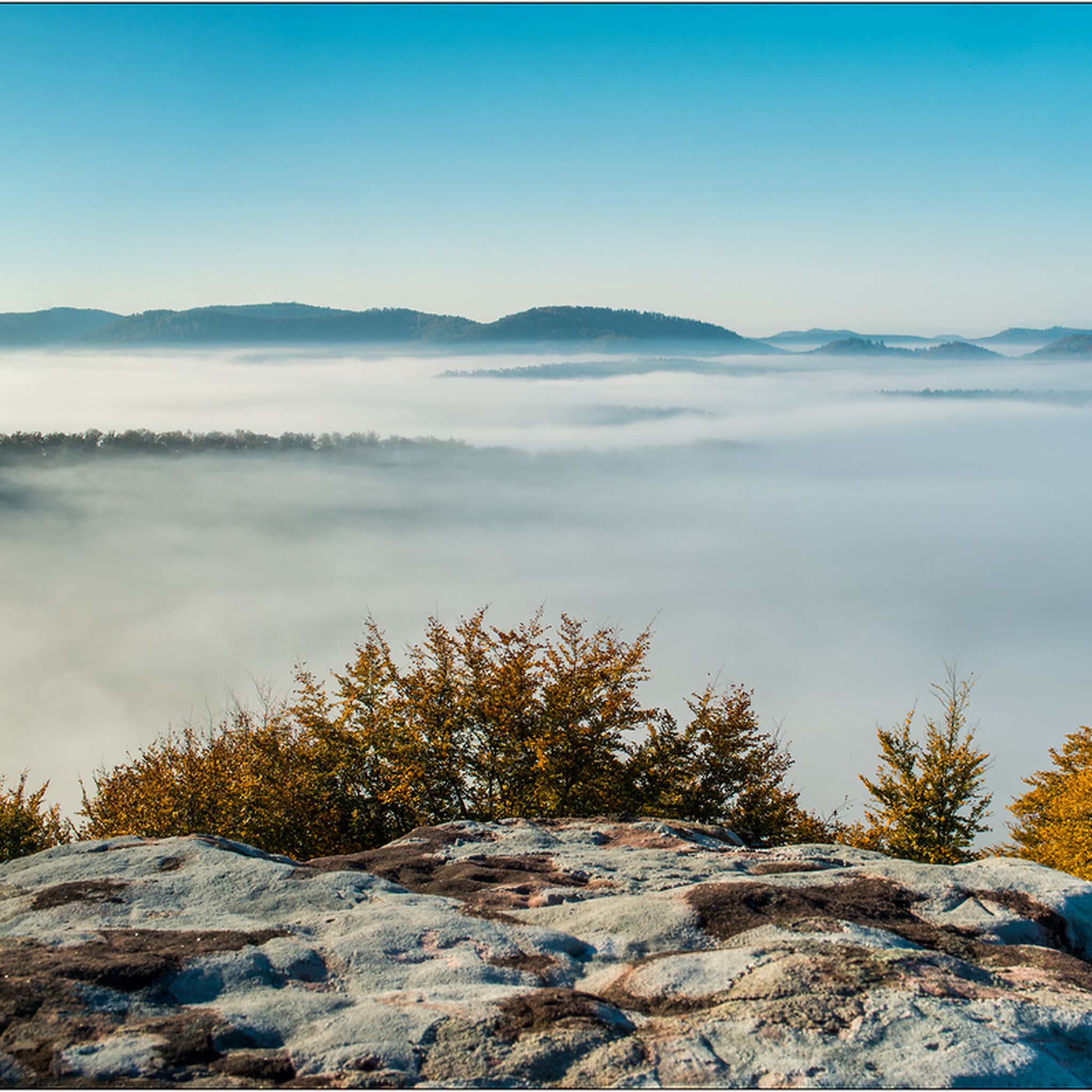
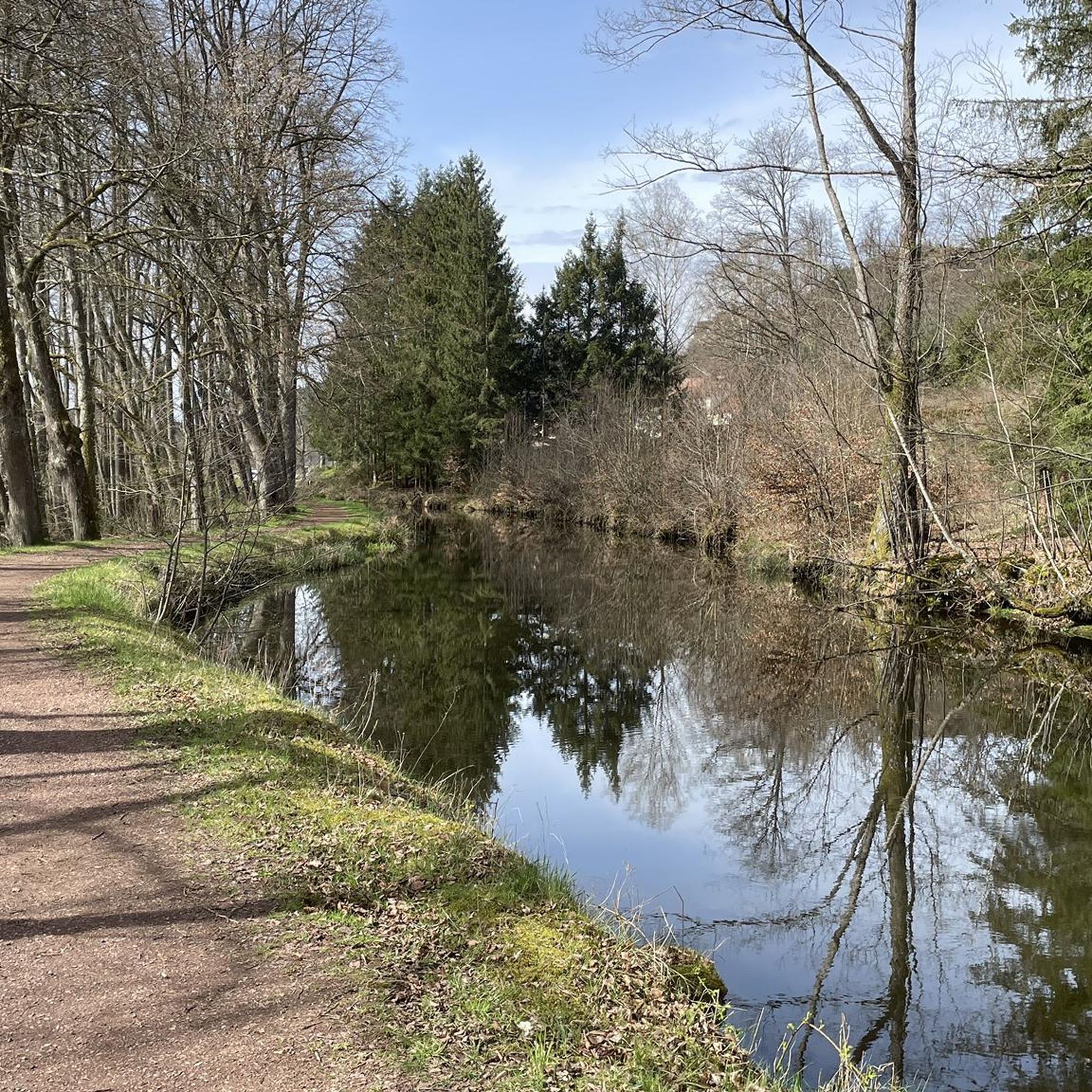
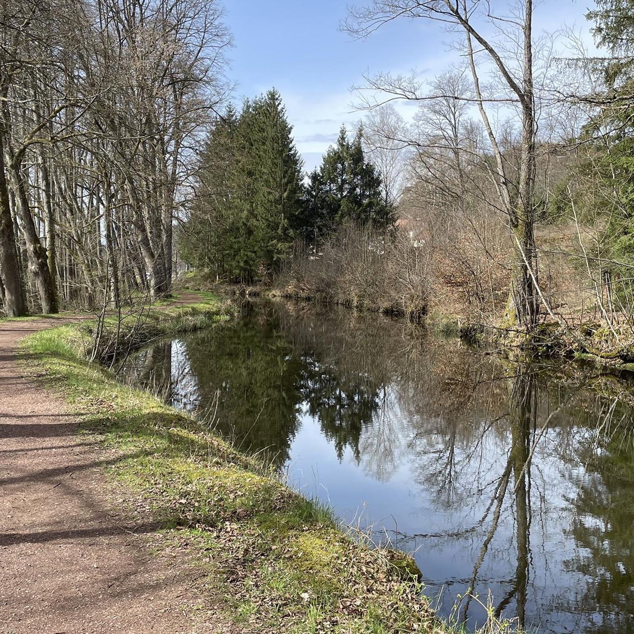
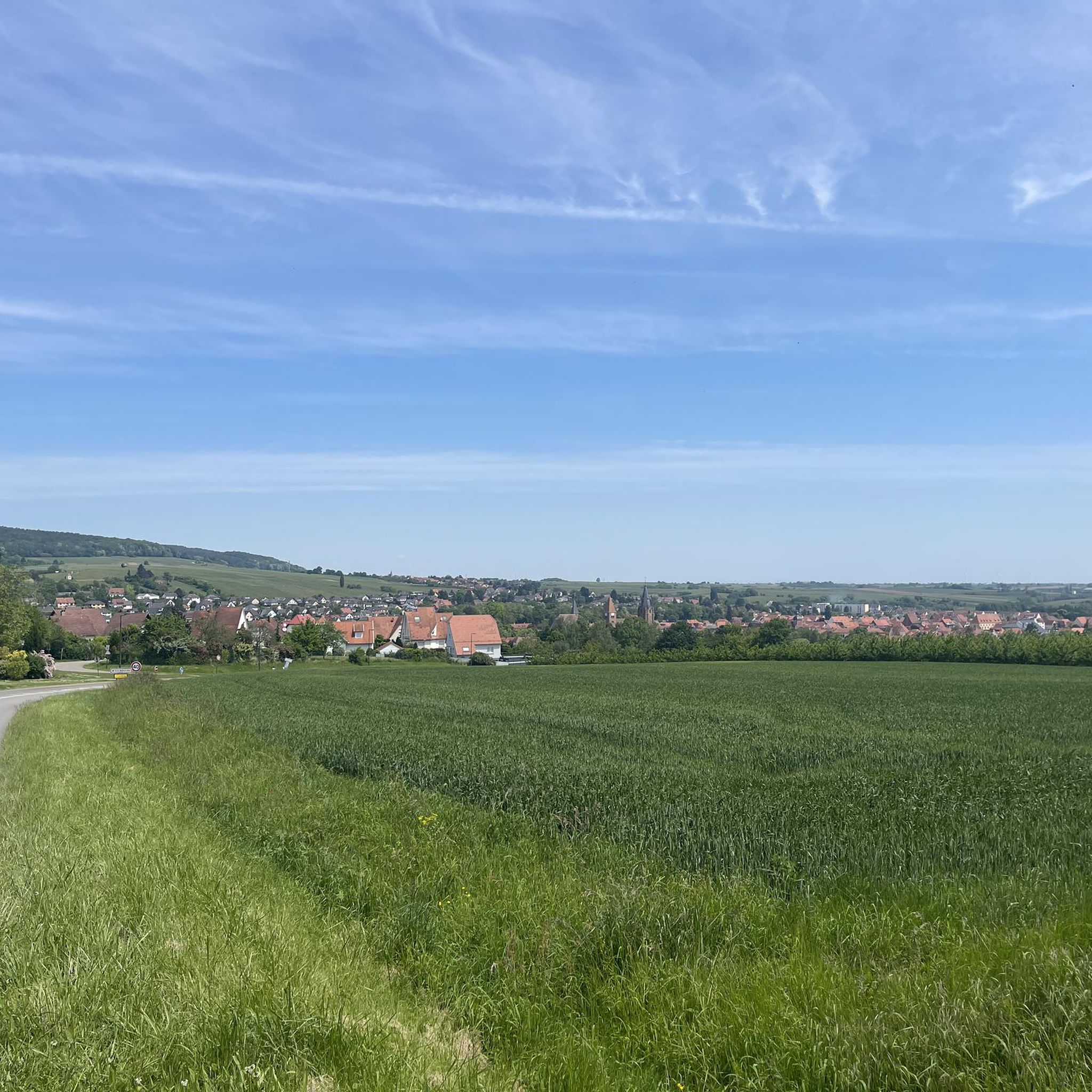

Tips from the Community

The small road to the Rosselhof is often used by anglers for parking
0
0

Niederbronn-les-Bains is one of the leading towns for outdoor activities in the Northern Vosges Mountains. Numerous hiking and mountain biking trails crisscross the town. Nearby are several points of interest, such as Wasenbourg Castle and the Grand Winterberg, the highest peak in the Vosges massif. And for those who enjoy longer trips, several hotels and a campsite are available in the town, all within a charming natural and historical setting.
1
0

It's incredible that the gable walls and columns from the 16th century are still standing today.
1
0

8 km through the countryside. It runs smoothly here. And there's relatively little traffic.
2
0
a beautiful route with little traffic, although there are a few trucks.
2
0
There's a bakery here that's open for lunch, and two restaurants. Apart from that, I can't think of anything that makes this place a highlight.
3
0
I enjoyed a delicious baguette and a pain au chocolate here on my tour. Not world-record-worthy, but good and inexpensive. Open for lunch.
2
0

Frequently Asked Questions
How many road cycling routes are available around Bärental?
There are over 270 road cycling routes available around Bärental, catering to various fitness levels and preferences. These routes are highly rated by the komoot community, with an average score of 4.8 stars.
What kind of terrain can I expect when road cycling in Bärental?
Bärental, nestled in the Black Forest, offers diverse terrain with significant elevation changes. You can expect routes traversing green meadows, dense forests, and clear rivers. While many routes are well-paved, some may include unpaved sections. The region provides both demanding mountain routes with considerable climbs and flatter options for more leisurely rides.
Are there challenging road cycling routes with significant elevation gain in Bärental?
Yes, Bärental offers challenging routes with substantial elevation gain, ideal for experienced cyclists. For example, the Fleckenstein Pond – Rock Formation Near Dahn loop from Lieschbach is a difficult 84.2 km path featuring nearly 940 meters of elevation gain.
Are there any easy or beginner-friendly road cycling routes in Bärental?
Yes, Bärental offers routes suitable for beginners or those looking for an easier ride. The region has 33 easy routes, such as the Route de Neunhoffen – Ruins of the Jaegerthal forge loop from Lieschbach, which is a 34.4 km trail with moderate elevation, often completed in about 1 hour 24 minutes.
What are some notable natural features or landmarks I can see along the road cycling routes?
Road cycling routes around Bärental often pass by stunning natural features and historical landmarks. You might encounter glacial formations, dense forests, and various lakes like Lake Titisee or the smaller Mathisleweiher. Historical sites such as the Falkenstein Castle ruins or the Wasenbourg Castle are also accessible. The region is also known for its dramatic gorges, including the Ravenna Gorge with its waterfalls, and the impressive Todtnauer Waterfall.
Are there any loop routes for road cycling in Bärental?
Yes, many road cycling routes in Bärental are designed as loops, allowing you to start and end at the same point. An example is the Untermuehl Valley, Baerenthal – Ruins of the Jaegerthal forge loop from Éguelshardt, a moderate 53.3 km trail exploring the scenic Untermuehl Valley.
What is the best time of year for road cycling in Bärental?
The best time for road cycling in Bärental is typically from spring through autumn, when the weather is mild and the routes are clear of snow. The Black Forest region offers beautiful scenery during these seasons, with lush green meadows and dense forests. While some routes might be accessible in winter, conditions can be challenging due to snow and ice, especially at higher elevations.
Are there any specific attractions or points of interest near the road cycling routes?
Yes, several attractions are close to the road cycling routes. You can explore historical sites like the Old Windstein Castle or natural wonders such as the Hanau Pond. The Grand Wintersberg also offers panoramic views that can be enjoyed as part of a longer ride.
What do other road cyclists enjoy most about road cycling in Bärental?
The road cycling routes in Bärental are highly rated by the komoot community, with an average score of 4.8 stars from over 150 reviews. Cyclists often praise the diverse terrain, the stunning Black Forest scenery, and the mix of challenging climbs and more relaxed sections. The well-maintained paths and the opportunity to explore both natural beauty and historical sites are also frequently highlighted.
Are there routes that pass through gorges or offer views of waterfalls?
While specific road cycling routes might not directly enter gorges, the region is home to dramatic natural formations like the Wutach Gorge and the Ravenna Gorge, known for its numerous small waterfalls. The impressive Todtnauer Waterfall, the highest in the Black Forest, is also a significant attraction in the broader area, offering spectacular views.
Can I find routes that are suitable for families with children?
While Bärental's terrain includes significant elevation changes, there are easier and moderate routes that can be suitable for families, especially those with some cycling experience. Look for routes categorized as 'easy' in the komoot app, which tend to have less elevation gain and are often on well-paved surfaces, such as the Route de Neunhoffen – Ruins of the Jaegerthal forge loop from Lieschbach.
Are there options for parking or public transport access to the road cycling routes?
Bärental is part of the Feldberg district and hosts Germany's highest railway station, offering public transport access. For those arriving by car, parking options are generally available in and around the starting points of many routes, particularly in towns and villages. Specific parking details can often be found on individual route pages within komoot.
Most popular attractions around Bärental

Get inspired with the komoot mobile app


Explore more
Browse the best Road cycling routes in other regions.
