The best mountain hikes around Lavatoggio
4.3
(16)
81
hikers
7
hikes
Mountaineering routes around Lavatoggio are set within the mountainous hinterland of the Balagne region in Haute-Corse, Corsica. The area features a "Corsica cristalline" geology, composed of magmatic rocks, providing diverse terrain for climbing. From its elevated position, Lavatoggio offers panoramic views of the Aregno and Reginu plains, with the Monte Grosso mountain chain forming a dramatic backdrop. This region provides a blend of challenging mountain terrain and scenic vistas.
Best mountaineering routes around Lavatoggio
- The most popular mountaineering route is…
Last updated: July 5, 2026
4.9
(7)
37
hikers
10.4km
04:43
660m
660m
Hard mountaineering route. Good fitness required. Sure-footedness, sturdy shoes and alpine experience required.
9
hikers
14.0km
06:47
1,000m
1,000m
Hard mountaineering route. Very good fitness required. Mostly accessible paths. Sure-footedness required.

Sign up for free
4.5
(2)
7
hikers
12.6km
05:16
670m
670m
Hard mountaineering route. Very good fitness required. Sure-footedness, sturdy shoes and alpine experience required.
5.0
(2)
4
hikers
Moderate mountaineering route. Good fitness required. Mostly accessible paths. Sure-footedness required.
5.0
(1)
3
hikers
9.21km
02:44
270m
270m
Moderate mountaineering route. Good fitness required. Easily-accessible paths. Suitable for all skill levels.
Get access to more routes and recommendations from other explorers.
Sign up for free
Already have an account?
Our route recommendations are based on thousands of hikes, rides, and runs completed by other people on komoot.
Start today with a free account
Your next adventure awaits.
Login or Signup

Tips from the Community

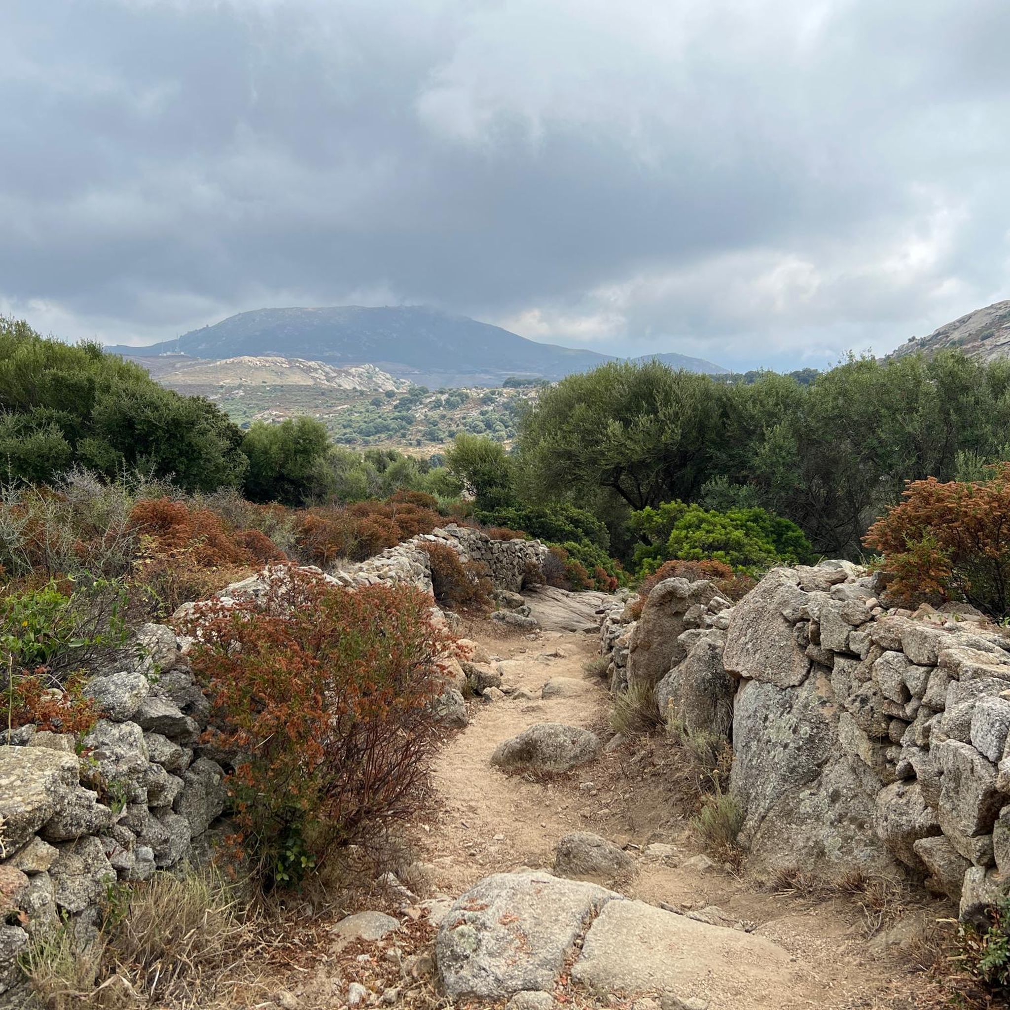
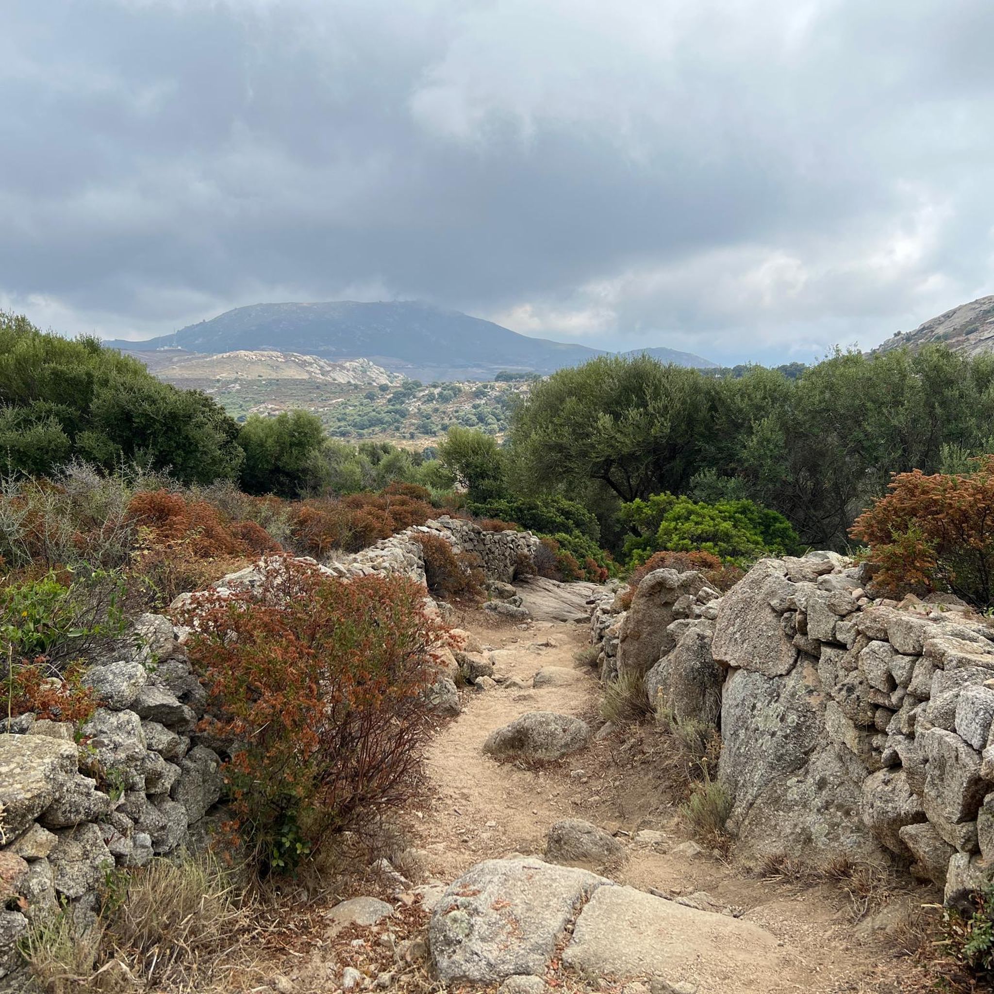
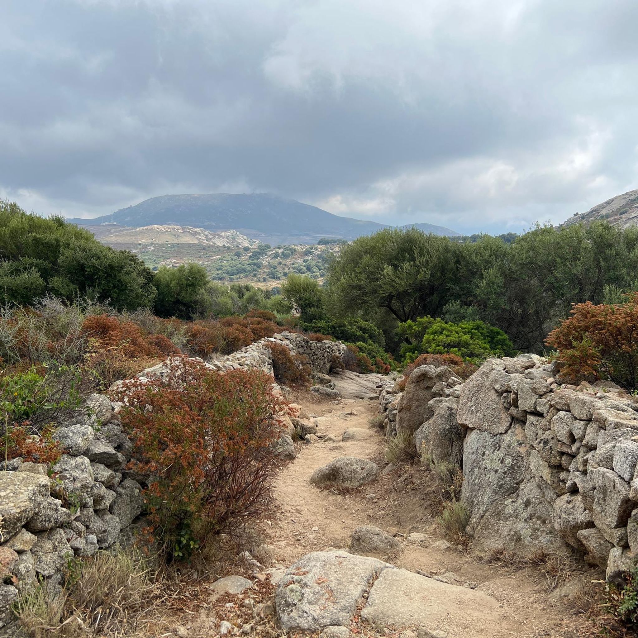
pretty here, very pretty
1
0
pretty here, very pretty
1
0

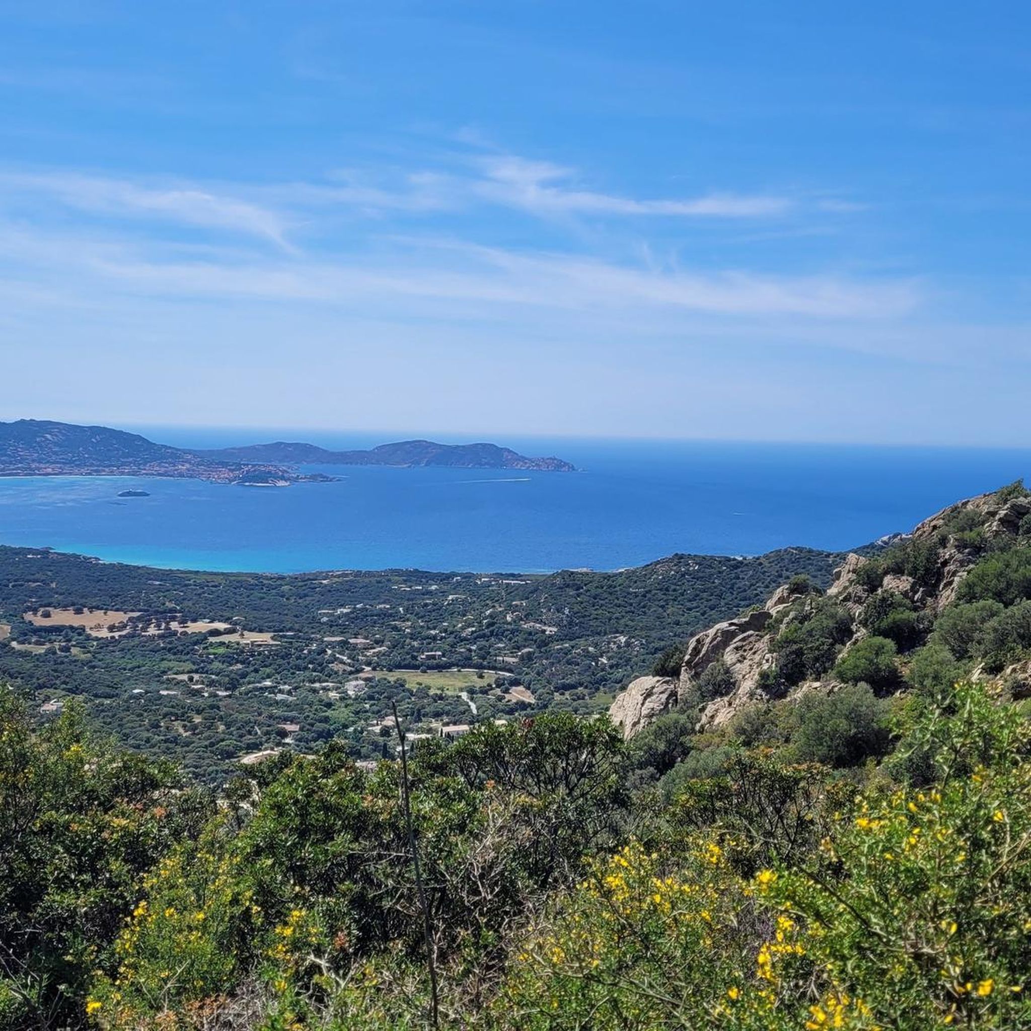
Calvi is a beautiful seaside town, bathed by turquoise waters and steeped in history. I recommend strolling through the narrow streets of the Citadel, built in 1483 by the Genoese, and then heading to the port. The view of the bay, overlooked by high mountains, including Mount Cinto (2,706 m), Corsica's highest peak, is impressive.
0
0

I did the loop in June 2025. It's generally a nice tour, but I highly recommend doing the large southern loop up to the church, including the single trail, in the opposite direction, so you go up the paved road and down the steep motocross section. Strangely enough, the original track above includes an additional loop where you also have to go up the single trail with a few short pushing sections and then return on a well-maintained forest road (not steep). Definitely do it in the opposite direction; then everything is rideable. By the way, I've also reported this to Komoot support. They might change the direction. I recommend doing the loop from Calvi to the church counterclockwise and the short loop at the top of the church clockwise. Have fun on this fantastic and varied loop.
0
0

From here, you'll reach a superb, intimate little beach in a cove that's ideal for swimming. It's the perfect spot to admire the sunset.
0
0

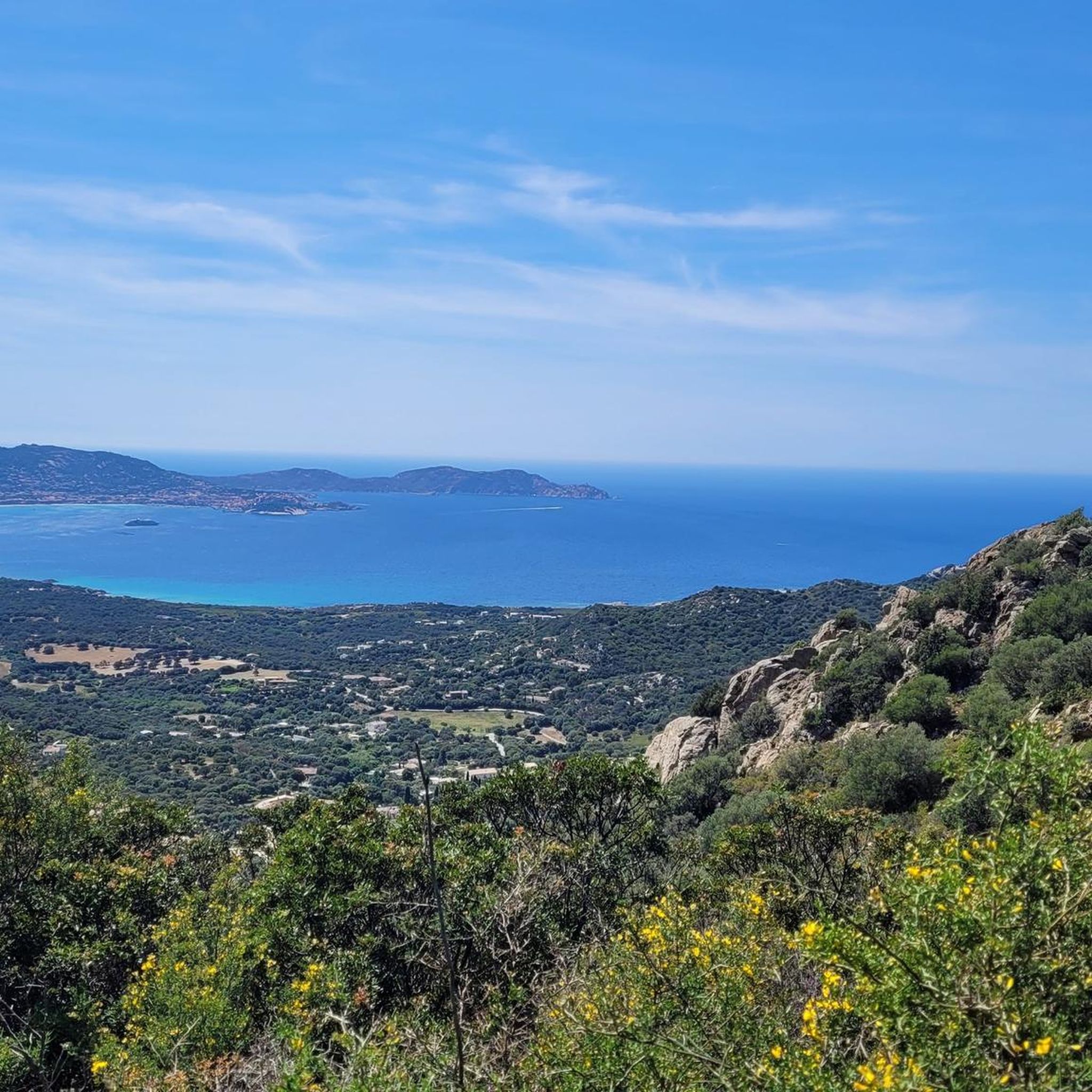
Extraordinary panorama from the heights of Capu di a Conca above the Gulf of Calvi.
0
0
Frequently Asked Questions
How many mountaineering routes are available around Lavatoggio?
There are currently 8 mountaineering routes documented around Lavatoggio on komoot, offering a range of experiences from moderate to difficult.
What are the difficulty levels of mountaineering routes in Lavatoggio?
The routes around Lavatoggio cater to various skill levels. You'll find 3 moderate routes, such as the Capu d'Occi loop from Lumio, and 5 difficult routes, including the challenging Capu di a Veta Summit loop from Calvi E Padule.
Are there any family-friendly mountaineering options near Lavatoggio?
While many mountaineering routes in Lavatoggio are rated moderate to difficult, the broader Balagne region offers a variety of hiking trails. For a less strenuous option, consider the Notre-Dame de la Serra Trail – Our Lady of the Serra loop from Calvi Talle, which is a moderate route. For families, exploring the inter-village trails connecting picturesque mountain villages like Sant'Antonino might be more suitable, offering cultural insights alongside gentle walks.
What is the best time of year for mountaineering in Lavatoggio?
Lavatoggio and the Balagne region benefit from a Mediterranean climate, making it ideal for hiking and mountaineering for much of the year. Spring and autumn generally offer the most pleasant temperatures for longer excursions, avoiding the peak summer heat and potential winter snow at higher elevations.
What kind of views can I expect on the mountaineering routes around Lavatoggio?
Mountaineering routes in Lavatoggio offer stunning panoramic views. From elevated positions, you can expect to see the Aregno and Reginu plains, the dramatic Monte Grosso mountain chain, and often expansive vistas of the Balagne region and the Calvi Bay. Routes like the Capu d'Occi loop from Lumio are specifically known for their scenic outlooks.
Are there any circular mountaineering routes in the area?
Yes, several routes around Lavatoggio are circular. Examples include the Capu di a Veta Summit loop from Calvi E Padule, the Capu d'Occi loop from Lumio, and the View of the Corsican Mountains – Funtana of ortiventi loop from Calenzana, allowing you to start and end at the same point.
What are some interesting places to visit near the mountaineering trails?
Near the mountaineering trails, you can explore several fascinating attractions. Consider visiting the charming village of Sant' Antonino, or the historic Abandoned Village of Occi. For impressive coastal views, the La Revellata Lighthouse is also accessible.
What do other komoot users say about mountaineering in Lavatoggio?
The mountaineering routes around Lavatoggio are highly rated by the komoot community, with an average score of 4.3 stars from over 18 reviews. Users often praise the diverse terrain, the challenging ascents, and the rewarding panoramic views of the plains and the sea.
Are there options for advanced mountaineers in Lavatoggio?
Yes, Lavatoggio offers several challenging routes suitable for advanced mountaineers. Five of the eight routes are classified as difficult, such as the Capu di a Veta Summit – Capu di a Veta loop from Calvi, which involves significant elevation gain and takes over 5 hours to complete. The region's 'Corsica cristalline' geology also provides opportunities for various forms of climbing.
Are there any permits required for mountaineering or climbing in the Lavatoggio area?
Generally, permits are not required for hiking or mountaineering on established trails around Lavatoggio. However, for specific rock climbing areas or multi-pitch routes in the broader Corsican region, it's always advisable to check with local climbing associations or guide services for any specific regulations or access requirements.
What kind of geology defines the mountaineering terrain around Lavatoggio?
The mountaineering terrain around Lavatoggio is characterized by its 'Corsica cristalline' geology, composed predominantly of magmatic rocks. This unique geological makeup provides diverse and often challenging surfaces, making it suitable for various forms of climbing and offering distinct features for mountaineering routes.
Can I bring my dog on the mountaineering trails in Lavatoggio?
While the region is generally welcoming to outdoor activities, specific regulations for dogs on mountaineering trails can vary. It's always best to check local signage or with regional tourism offices regarding dog access, especially in protected areas or on more challenging routes. Many hiking trails in Corsica are dog-friendly, but mountaineering routes may have different considerations.
Most popular attractions around Lavatoggio

Get inspired with the komoot mobile app


Explore more
Browse the best Mountain Hikes & Routes in other regions.
