The best walks and hikes around Lamure-Sur-Azergues
4.7
(550)
3,845
hikers
12
hikes
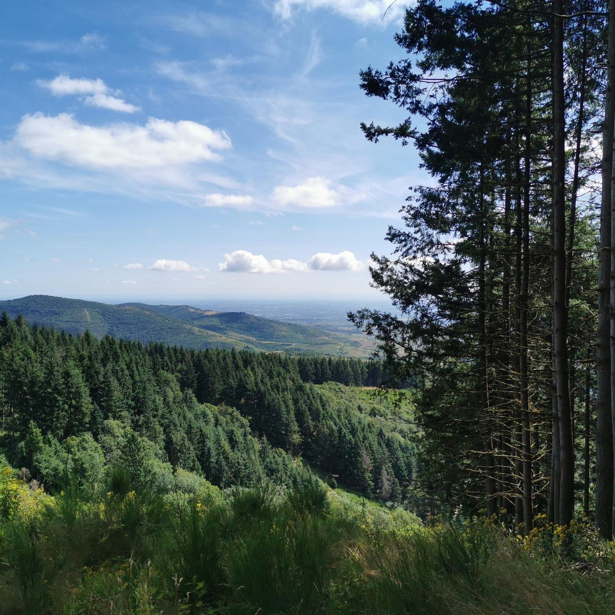
Hiking around Lamure-Sur-Azergues offers a diverse landscape for outdoor exploration. The region is characterized by rolling hills, dense woodlands, and river valleys, providing varied terrain for hikers. Elevations in the area include notable points like La Pyramide at 888 meters, offering panoramic views. The network of trails caters to different skill levels, from gentle paths to more challenging ascents.
Best hiking trails around Lamure-Sur-Azergues
- The most popular hiking route is Parasoir Pass - 657 m – Le relais du Parasoir…
Last updated: June 25, 2026
4.5
(4)
31
hikers
17.2km
05:15
570m
570m
Hard hike. Very good fitness required. Easily-accessible paths. Suitable for all skill levels.
5.0
(2)
19
hikers
15.0km
04:25
430m
430m
Moderate hike. Good fitness required. Easily-accessible paths. Suitable for all skill levels.

Sign up for free
5.0
(1)
9
hikers
Moderate hike. Good fitness required. Easily-accessible paths. Suitable for all skill levels.
5.0
(1)
12
hikers
9.55km
02:51
280m
280m
Moderate hike. Good fitness required. Easily-accessible paths. Suitable for all skill levels.
5.0
(1)
9
hikers
18.8km
05:47
690m
690m
Hard hike. Very good fitness required. Easily-accessible paths. Suitable for all skill levels.
Get access to more routes and recommendations from other explorers.
Sign up for free
Already have an account?
Our route recommendations are based on thousands of hikes, rides, and runs completed by other people on komoot.
Start today with a free account
Your next adventure awaits.
Login or Signup
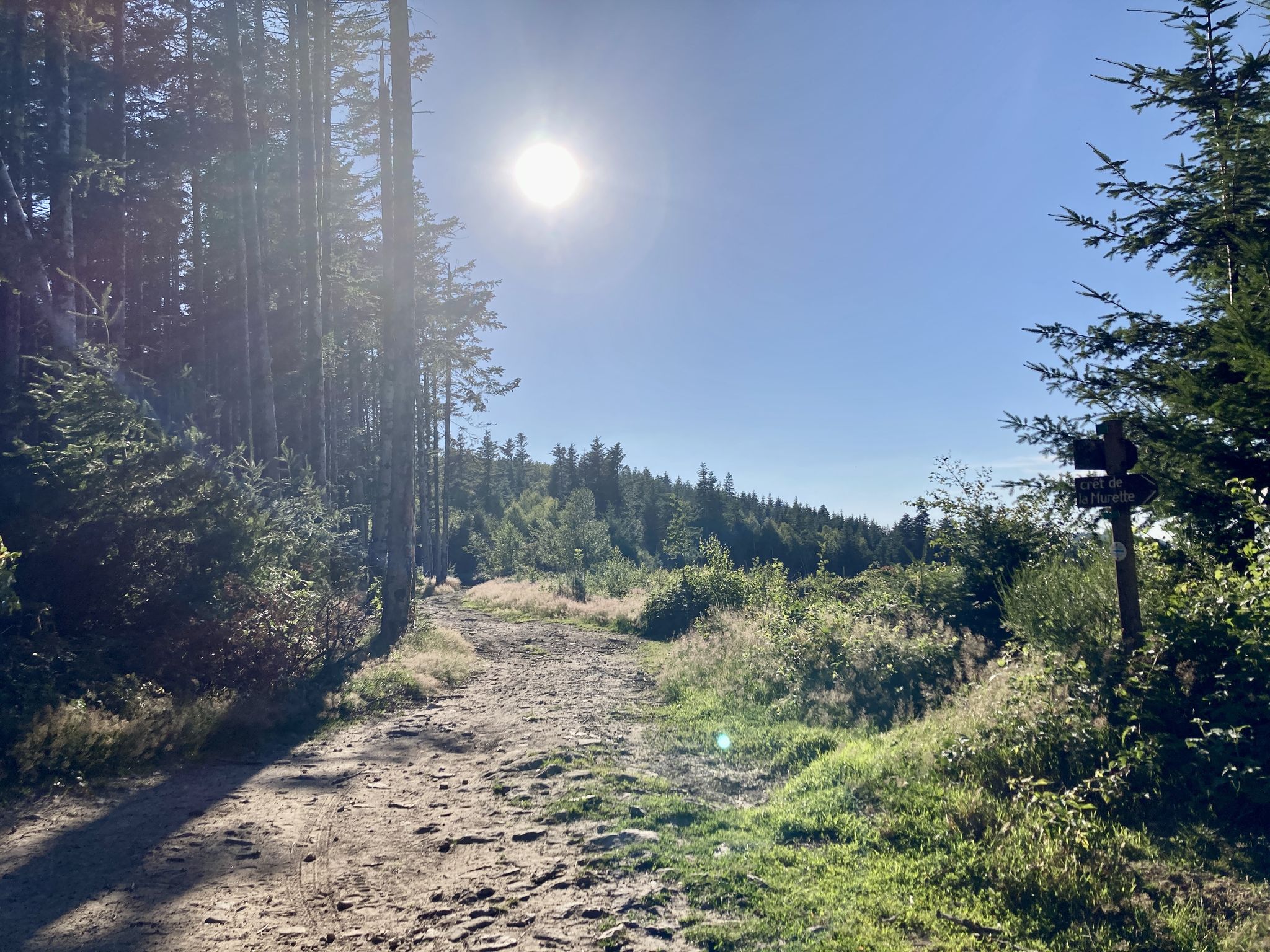
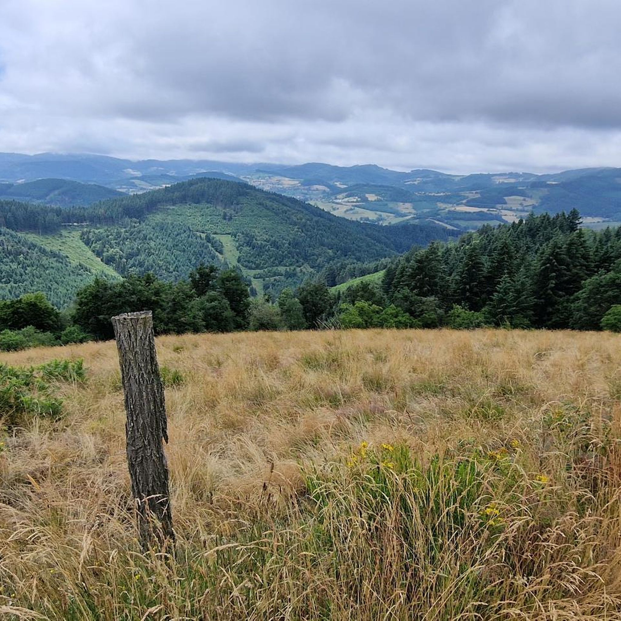
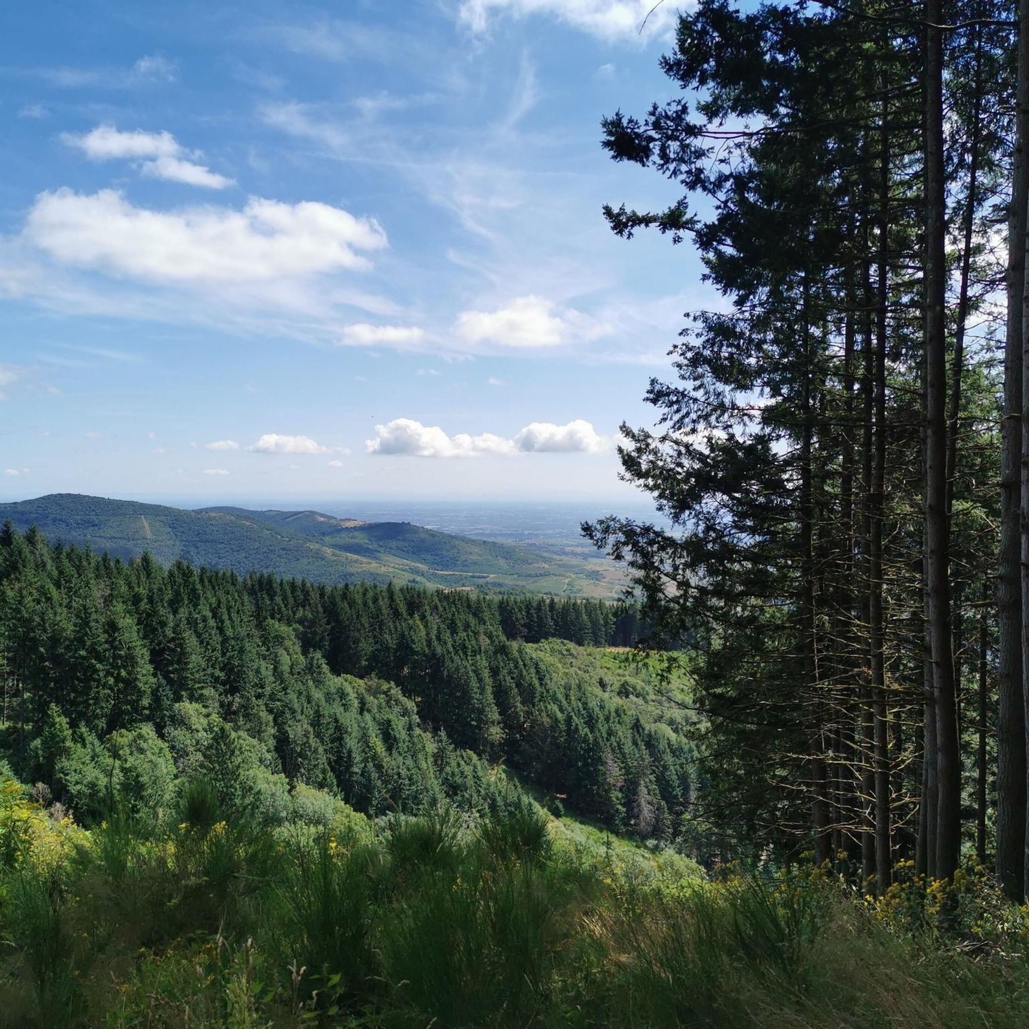
Other adventures around Lamure-Sur-Azergues

Tips from the Community

Beautiful pass at 736 m, quite gentle, 6.1% average. Nice to do by mixing with the 76 gravel hiking trail.
3
0

One of the most beautiful views of Beaujolais!
1
0

This private chapel was built in 1909 and was restored in 2000. It is surmounted by the Virgin which recalls that of the Basilica of Fourvière in Lyon. Located 300 meters above sea level, it dominates the Azergues valley.
0
0

No clear pass panel but still a good little climb. The slope is quite steep in places but the climb is short. The road is very little frequented so very pleasant to cycle. You can do it from Lamure or from the Parasoir descent.
0
0
Nice pass to do from Lamure sur Azergues, Le Perréon, Le Papilloud (road of the ridges but you can climb from Vaux too). On the Lamure side, the view is absent but it is relatively hard with some good percentages. If you start from the Perréon you take the start of the Col de la Croix Rosier, magnificent... From the Papilloud the climb is very short but there is no shortage of views over the Beaujolais. At the top the view is not very present but the forest atmosphere is very pleasant, we enter the upper Beaujolais...
0
0

Rather steep pass but rather shaded, so pleasant!
0
0

Work has been done recently to discover and develop the approaches to the source. It has lost in nature, but at least it is possible to fill gourds and cows with water!
2
0
Frequently Asked Questions
How many hiking trails are available around Lamure-Sur-Azergues?
There are over 180 hiking trails in the Lamure-Sur-Azergues region, offering a wide variety of options for all skill levels. You'll find everything from easy strolls to challenging ascents through the rolling hills and dense woodlands.
Are there easy hiking trails suitable for beginners or families?
Yes, the region offers over 40 easy hiking routes perfect for beginners or families. These trails typically feature gentler paths and less elevation gain, allowing for a relaxed outdoor experience. While specific family-friendly routes aren't highlighted here, many of the easier trails are suitable.
What are the typical durations for hikes in Lamure-Sur-Azergues?
Hike durations vary significantly. Shorter, easier routes might take 1-2 hours, while moderate trails often range from 3-5 hours. More challenging hikes, like the View from La Pyramide (888 m) loop from Lamure-sur-Azergues, can take over 5 hours to complete, covering distances of 15-17 km.
Are there any circular hiking routes in the area?
Many of the trails around Lamure-Sur-Azergues are circular routes, designed to bring you back to your starting point. Examples include the popular Parasoir Pass - 657 m – Le relais du Parasoir loop from Saint-Cyr-le-Chatoux and The Pyramid – Source des Trois Notaires loop from Lamure-sur-Azergues.
What are the best viewpoints to experience the landscape?
For panoramic views, head to La Pyramide at 888 meters. The View from La Pyramide (888 m) loop from Lamure-sur-Azergues is a challenging but rewarding route that leads to this prominent viewpoint, offering expansive vistas of the surrounding rolling hills and valleys.
Can I hike with my dog in Lamure-Sur-Azergues?
Generally, dogs are welcome on hiking trails in the Lamure-Sur-Azergues region, especially in rural and forested areas. However, it's always recommended to keep your dog on a leash, particularly near livestock or in nature reserves, and to check for any specific local regulations or signage along your chosen route.
Are there any places to eat or drink along the trails?
Yes, some routes pass by establishments where you can refuel. For instance, the Parasoir Pass - 657 m – Le relais du Parasoir loop from Saint-Cyr-le-Chatoux includes Le relais du Parasoir, which is a restaurant. It's always a good idea to carry sufficient water and snacks, especially on longer hikes.
What kind of natural attractions or landmarks can I see while hiking?
The region is rich in natural beauty and historical sites. You can discover highlights such as the Le Saule d'Oingt natural monument, the serene Lac des Sapins, or historical sites like Montmelas Castle. Many trails also lead through dense woodlands and past natural springs.
What do other hikers enjoy most about the trails in Lamure-Sur-Azergues?
The trails in Lamure-Sur-Azergues are highly rated by the komoot community, with an average score of 4.6 stars from over 400 reviews. Hikers frequently praise the diverse landscape, including rolling hills and dense forests, and the variety of routes suitable for different abilities. The scenic viewpoints, especially from La Pyramide, are also a common highlight.
What is the best time of year to go hiking in Lamure-Sur-Azergues?
Spring and autumn are generally considered the best times for hiking in Lamure-Sur-Azergues. In spring, the landscape is vibrant with new growth, and temperatures are mild. Autumn offers beautiful foliage and comfortable hiking conditions. Summer can be pleasant, but some days might be hot, while winter can bring colder temperatures and occasional snow at higher elevations, offering different challenges.
Are there any specific mountain passes I can hike to?
Yes, the region features several mountain passes that offer interesting hiking destinations and often serve as starting points or viewpoints. Notable passes include Cambuse Pass, Col de Saint-Bonnet, and Croix Papin Pass. The Font Froide Spring – Croix Papin Pass loop from Chambost-Allières is one route that incorporates a pass.
Where can I find parking for hiking trails in Lamure-Sur-Azergues?
Many hiking routes in the Lamure-Sur-Azergues area start from villages or designated trailheads where parking is typically available. For example, routes often begin from Lamure-sur-Azergues itself, Saint-Cyr-le-Chatoux, or Col de la Croix Montmain. Look for public parking areas in these towns or small car parks near popular trail starting points.
Most popular routes around Lamure-Sur-Azergues
Most popular attractions around Lamure-Sur-Azergues

Get inspired with the komoot mobile app


Explore more
Browse the best Hikes in other regions.
