The best walks and hikes around Marchampt
4.6
(619)
3,532
hikers
21
hikes
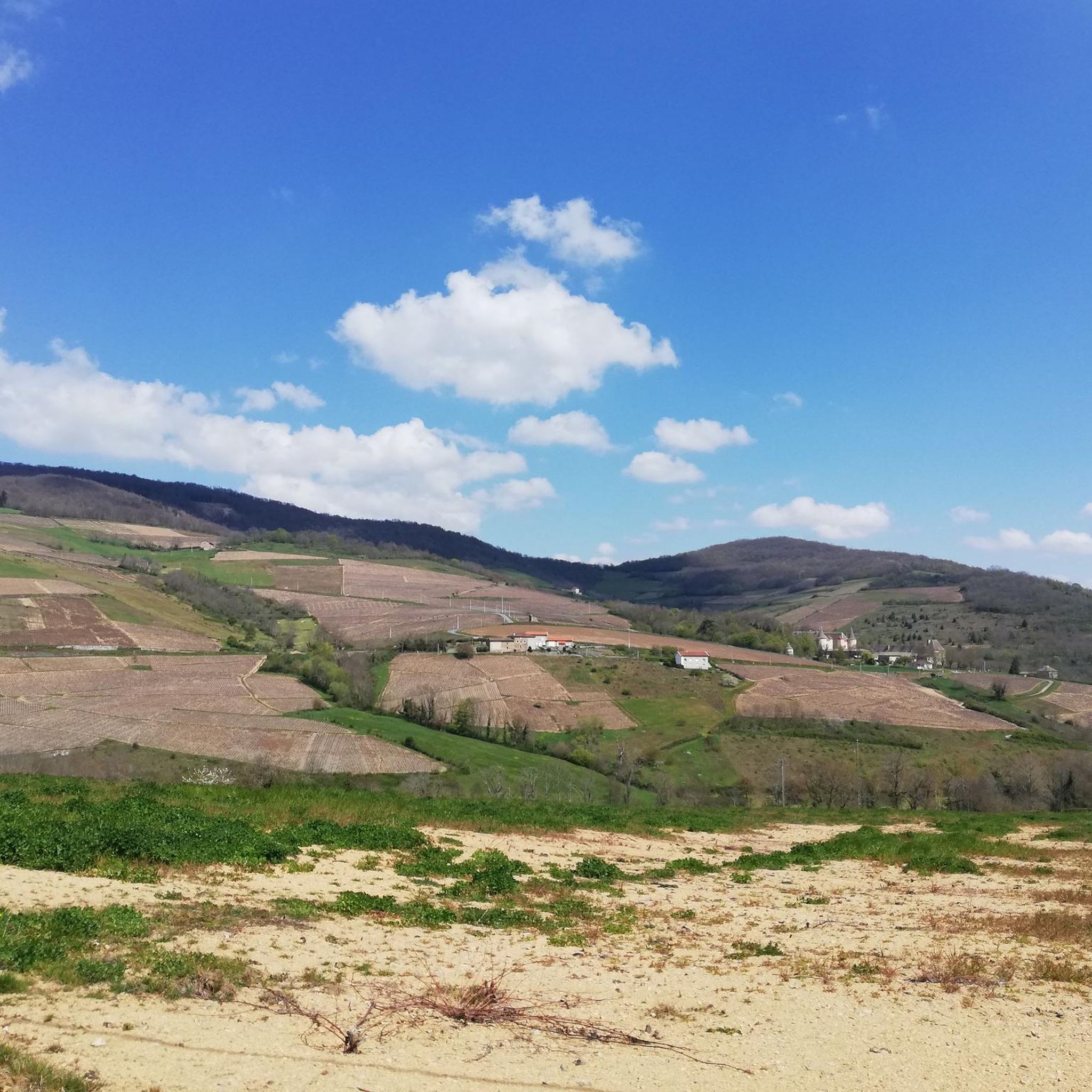
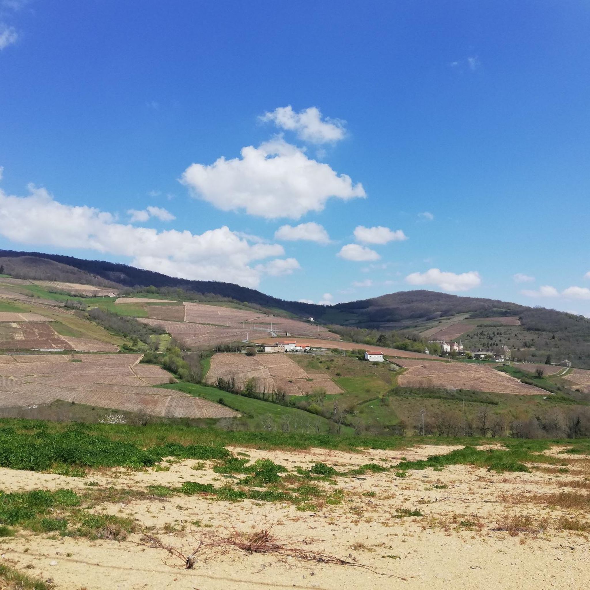
Hiking around Marchampt offers diverse trails within a charming mountain village setting, nestled in a valley. The region is characterized by varying altitudes, ranging from 318m to 883m, which contributes to varied terrain and scenic changes. Notable natural features include the Landes du Beaujolais Biotope Area, known for its moors, and the Col de la Croix Marchampt, providing panoramic views of the Saône Valley. This landscape provides a range of hiking opportunities for different fitness levels.
Best hiking trails around…
Last updated: July 7, 2026
4.8
(8)
20
hikers
15.3km
04:51
610m
620m
Hike the moderate Genêts Circuit 3 in Beaujolais, covering 9.5 miles (15.3 km) with 2017 feet (615 metres) of elevation gain.
4.8
(5)
18
hikers
13.3km
04:09
500m
500m
Moderate hike. Good fitness required. Easily-accessible paths. Suitable for all skill levels.

Sign up for free
4.7
(3)
9
hikers
11.4km
03:42
480m
480m
Moderate hike. Good fitness required. Easily-accessible paths. Suitable for all skill levels.
4.5
(2)
10
hikers
20.7km
06:20
720m
720m
Hard hike. Very good fitness required. Easily-accessible paths. Suitable for all skill levels.
5.0
(2)
6
hikers
Moderate hike. Good fitness required. Easily-accessible paths. Suitable for all skill levels.
Get access to more routes and recommendations from other explorers.
Sign up for free
Already have an account?
Our route recommendations are based on thousands of hikes, rides, and runs completed by other people on komoot.
Start today with a free account
Your next adventure awaits.
Login or Signup
Tips from the Community

The food was simply great and the dishes were delicious, it's a shame that I live so far away and was just passing through
0
0
1 Pl. du Cadran Solaire, 69430 Marchampt, France
0
0

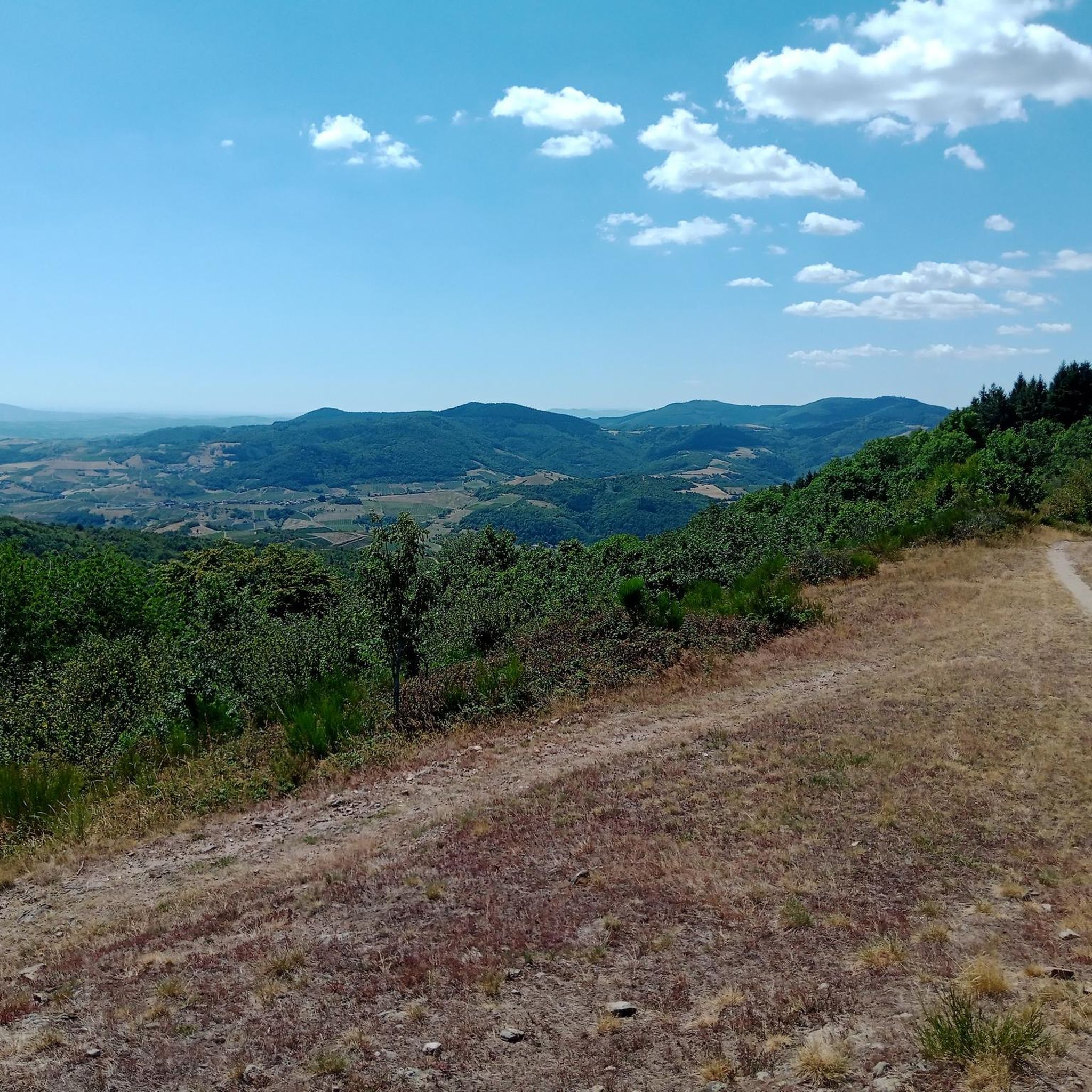
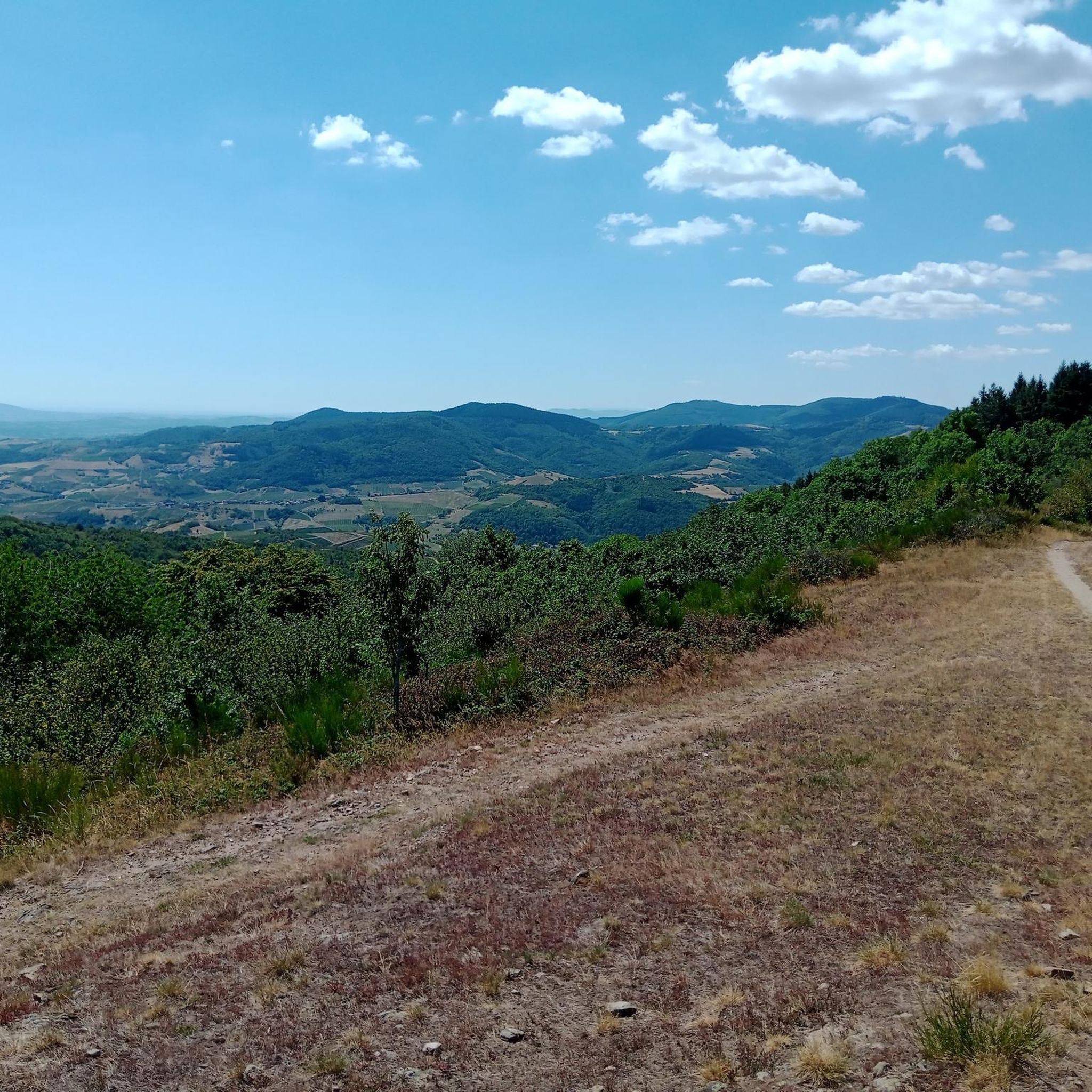
The Casse Froide pass offers beautiful panoramas of the Douglas de Claveisolles forests. Here the landscapes open up. While this part is most pleasant in summer, it can be quite windy on bad weather days.
0
0

Very nice point of view!
0
0

From this pass, you will enjoy fantastic panoramas by following it through the forest.
2
0

Super pass very little frequented to do from Marchampt by a magnificent small road or in the sequence of the Col de la Croix Rosier. Many walks in the moors of Beaujolais start from there. The road is gritty but the scenery and tranquility is worth it.
0
0
Very beautiful village surrounded by vineyards and deciduous forests, a soothing calm emerges from this village as if lost in the foothills of the Beaujolais hills.
0
0
Nice pass to do from Claveisolles, St Didier sur Beaujeu, Marchampt, la Varenne. The hardest percentages are from Varenne which takes a very small road, very little frequented with a beautiful view of the vines. The other climbs are more regular turning around 5/6%. From Claveisolles we go up in a very pleasant little valley. The view at the top is mainly on the Azergues side. Note that a very pleasant little road goes in the direction of Chénellette or Vernay, we are alone in the world.
2
0
Frequently Asked Questions
How many hiking trails are available around Marchampt?
There are over 15 hiking routes around Marchampt, catering to various fitness levels. These include easy walks, moderate treks, and some more challenging routes for experienced hikers.
Are there any easy, family-friendly hikes in Marchampt?
Yes, Marchampt offers easy walks as short as 4 km with around 150 meters of elevation, suitable for families and all skill levels. These trails typically take about 1.5 hours to complete. There are 2 easy routes available in the area.
What kind of landscapes can I expect to see while hiking in Marchampt?
The region around Marchampt is known for its diverse natural beauty. You'll encounter charming valleys, vast moors, and varying altitudes ranging from 318m to 883m. Highlights include the Landes du Beaujolais Biotope Area with its rich biodiversity and the panoramic views from Col de la Croix Marchampt, stretching from the Jura to the Pilat mountains.
Are there any circular walks available in Marchampt?
Many of the trails around Marchampt are circular. For example, the Col de Casse Froide – Marchampt loop from Col de la Croix de Marchampt is a moderate 13.2 km loop offering views from Col de la Croix de Marchampt. Another popular option is the Marchampt – Col de la Croix Rozier loop from Marchampt, which is 11.4 km long.
What are some notable points of interest or landmarks to see on a hike?
While hiking, you can explore several interesting landmarks. Consider visiting the Rochefort Cross or the Cross of Forces. For historical sites, the Montmelas Castle is also nearby. The region also features several chapels, such as the Saint-Bonnet Chapel on the Signal and the Chapel of Our Lady of the Grapes.
What is the best time of year to go hiking in Marchampt?
Marchampt offers hiking opportunities throughout the year, but spring and autumn are particularly pleasant for their mild temperatures and vibrant scenery. The moors are especially beautiful when in bloom. For specific seasonal conditions or guided walks, you might find information on local tourism sites, such as this guided walk through the moors.
Are there any challenging routes for experienced hikers?
Yes, Marchampt offers more demanding routes that can exceed 5 hours or involve over 3,000 ft (900m) of elevation gain, requiring very good fitness and sturdy shoes. An example of a difficult route is the Col de la Croix Rozier – Col du Télégraphe - 678 m loop from Bonnevay, which is over 20 km long with significant elevation.
What do other hikers say about the trails in Marchampt?
The routes in Marchampt are highly rated by the komoot community, with an average score of 4.6 stars from over 500 reviews. Hikers often praise the varied terrain, the stunning panoramic views from the cols, and the charming mountain village atmosphere.
Can I bring my dog on the hiking trails in Marchampt?
While specific regulations for each trail may vary, generally, dogs are welcome on many outdoor trails in France, often on a leash. It's always advisable to check local signage at trailheads for any specific restrictions in protected areas like the Landes du Beaujolais Biotope Area to ensure a pleasant experience for everyone.
Are there any specific trails that offer panoramic views?
Absolutely. The region is known for its scenic vistas. The Col de Casse Froide – Marchampt loop from Col de la Croix de Marchampt offers excellent views. The Col de la Croix Marchampt itself provides breathtaking panoramic views of the Saône Valley, extending to the Jura and Pilat mountains on clear days.
Where can I find information about the 'Genêts Circuit' trails?
The 'Genêts Circuit' is a well-known series of trails in the Beaujolais region. You can find information on different versions, such as the green circuit and the blue circuit, on the Rhône Tourisme website. The Genêts Circuit 3 is a popular moderate route in the area.
What is the highest point I can reach on a hike in Marchampt?
The Marchampt region features varying altitudes, with the village itself ranging from 318m to 883m. While specific named peaks within Marchampt are not detailed, many trails ascend to cols and viewpoints that offer significant elevation gains and expansive views, such as the Col de la Croix Marchampt.
Most popular attractions around Marchampt

Get inspired with the komoot mobile app


Explore more
Browse the best Hikes in other regions.
