Top 20 Mountain Passes around Meaux-La-Montagne
Mountain passes near Meaux-La-Montagne are situated in the Rhône department within the Auvergne-Rhône-Alpes region, serving as a gateway to the Beaujolais region. The commune is linked to the Col de la Cambuse and is in proximity to other passes popular with cyclists and hikers. This area features diverse landscapes, including vineyards, forests, and valleys, providing opportunities for outdoor activities. The region offers a variety of terrain for exploration.
Best mountain passes around Meaux-La-Montagne
- The most popular mountain passes is Le…
Last updated: July 10, 2026
Le relais du Parasoir
Highlight • Restaurant
Translated by Google •
Tip by

Cambuse Pass
Highlight • Mountain Pass
Translated by Google •
Tip by

Sign up now to discover places like this
Get recommendations on the best single tracks, peaks, & plenty of other exciting outdoor places.
Sign up for free
Croix Papin Pass
Highlight • Mountain Pass
For the record, it took me 3 attempts to complete the entire route, the first having been …
Translated by Google •
Tip by

Col de la Croix des Fourches
Highlight • Mountain Pass
Showing Translation
Tip by
Col de la Croix Montmain - 737 m
Highlight • Mountain Pass
Nice to do by mixing with the 76 gravel hiking trail.
Translated by Google •
Tip by

Sign up for free to discover even more mountain passes around Meaux-La-Montagne.
Sign up for free
Already have an account?
Start today with a free account
Your next adventure awaits.
Login or Signup

Tips from the Community

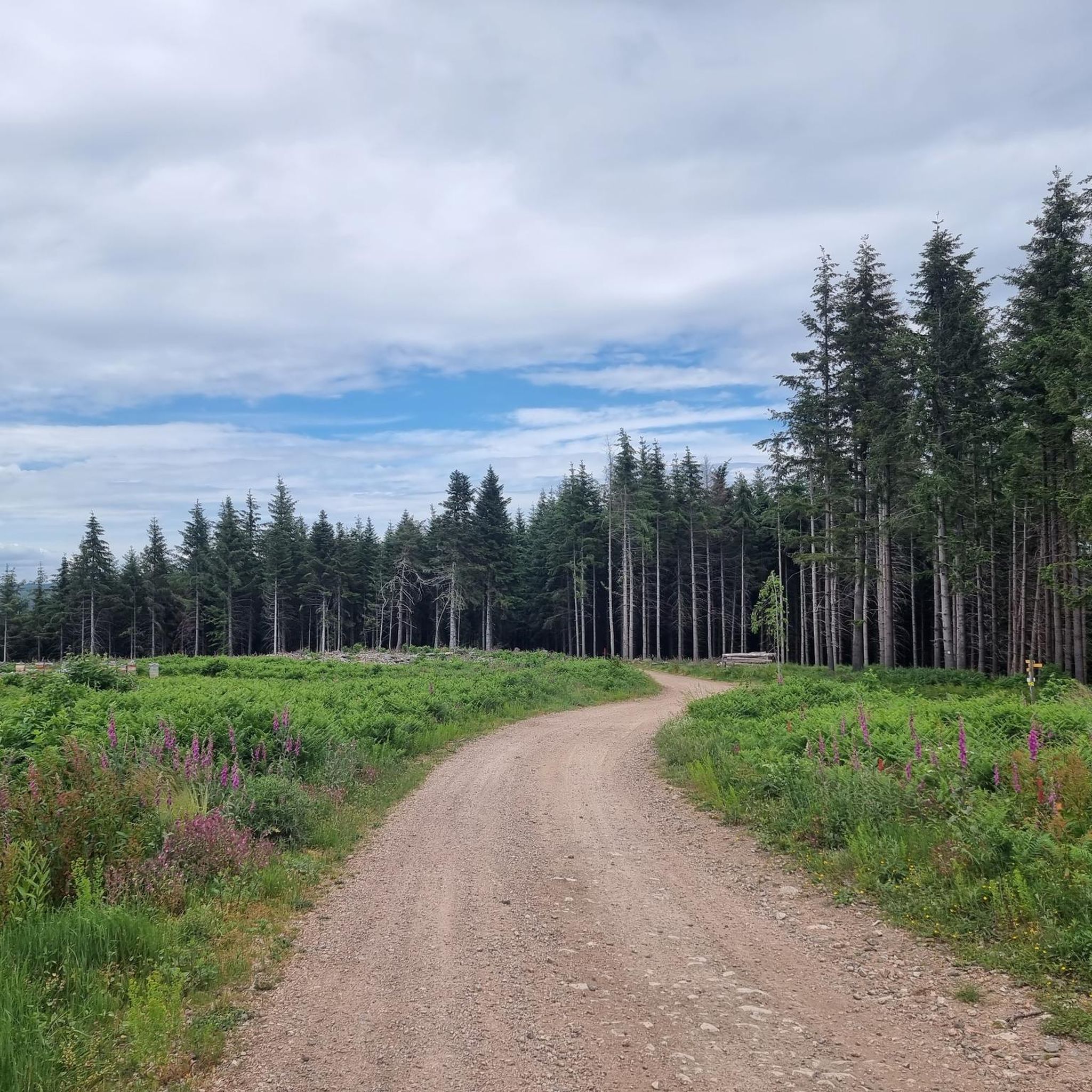
Beautiful pass at 736 m, quite gentle, 6.1% average. Nice to do by mixing with the 76 gravel hiking trail.
3
0

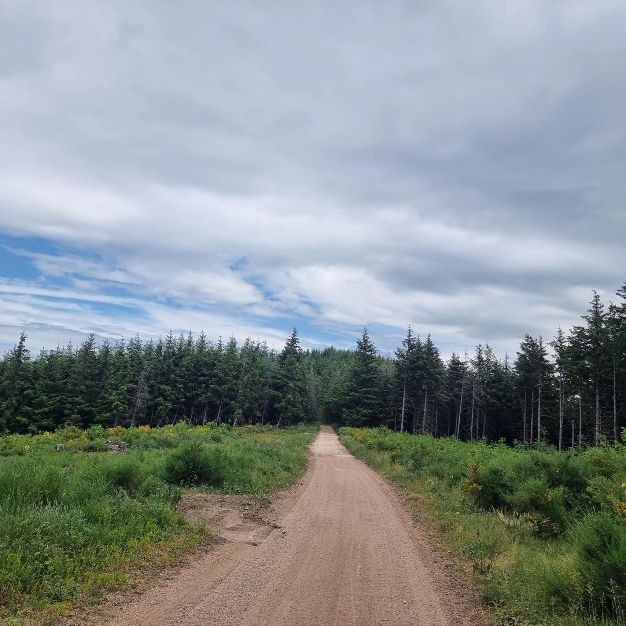
For a little refreshing break between 2 passes
0
0

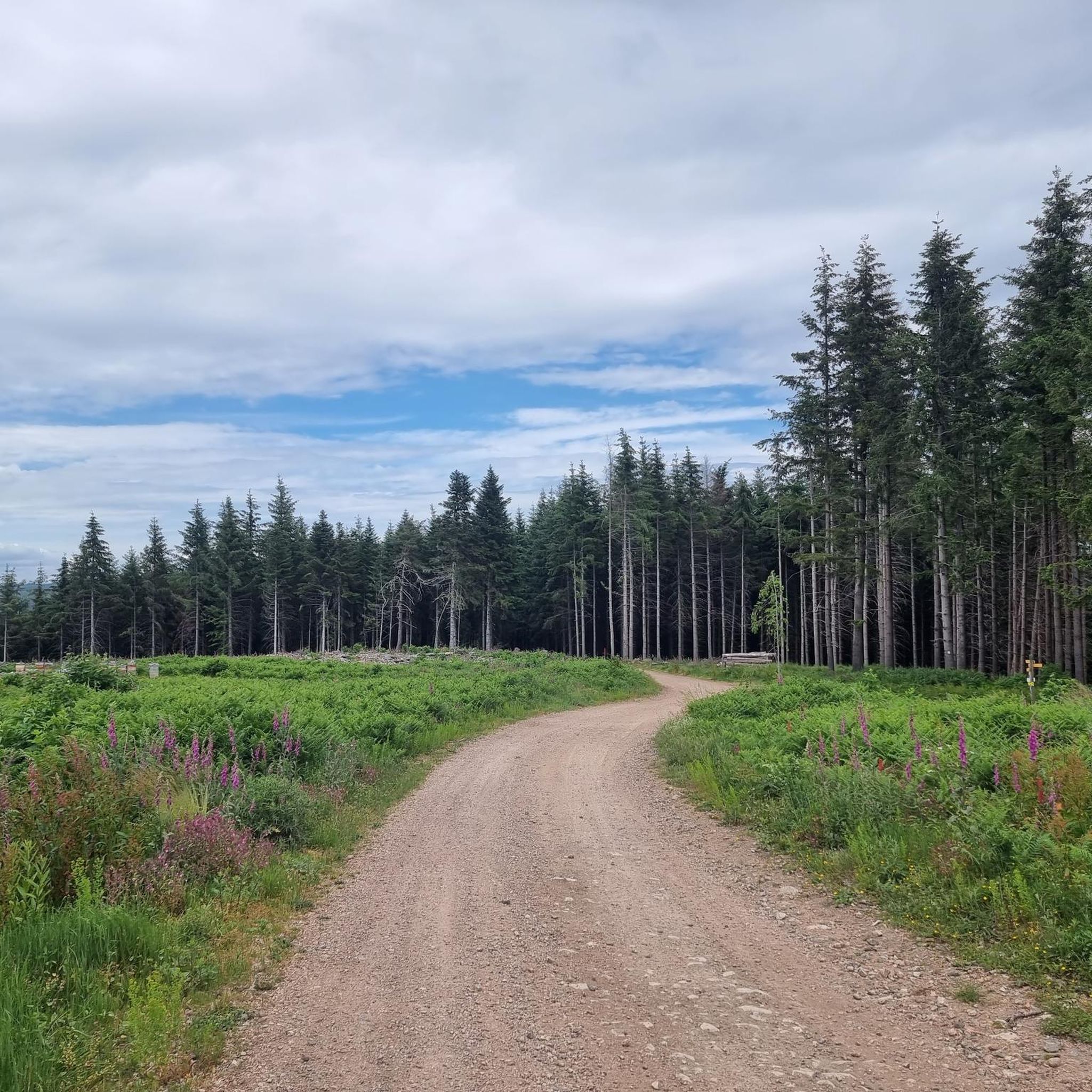
Col de la Croix des Fourches, in the middle of the forest, on the heights of the village of Saint-Just d'Avray.
1
0

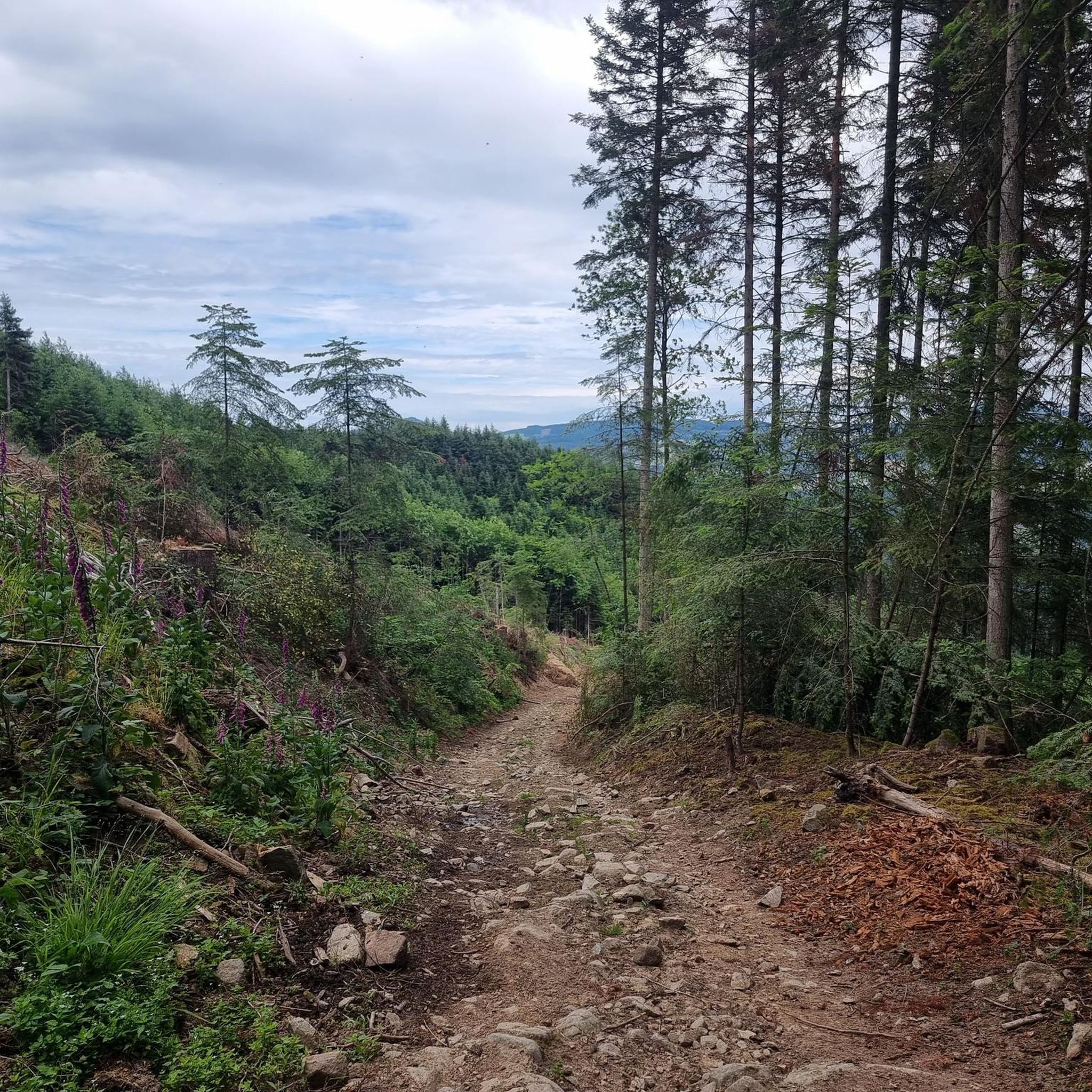
Nice pass to do from Lamure sur Azergues, Le Perréon, Le Papilloud (road of the ridges but you can climb from Vaux too). On the Lamure side, the view is absent but it is relatively hard with some good percentages. If you start from the Perréon you take the start of the Col de la Croix Rosier, magnificent... From the Papilloud the climb is very short but there is no shortage of views over the Beaujolais. At the top the view is not very present but the forest atmosphere is very pleasant, we enter the upper Beaujolais...
0
0
To do from Chambost-Allières, Rivolet. In the fog, the climb seemed very long to me. The percentages are low but the climb is quite long, 7 km at 4.5%. At the top you can go for a walk in St Cyr le Chatoux, take your gravel or mountain bike to go on the paths, go climb the Pyramid, eat and drink at the restaurant, continue on the ridge road which goes to the North by chaining the collars.
1
0
Nice pass to do from: Chambost-Allières, Chamelet, Létra, La Saule d'Oingt in the extension of the Col du Chêne. Nice percentages on the Chamelet side, Létra and in the beginning of the ascent from Chambost, at the end the slope flattens out. From Chambost, we climb in a beautiful semi-mountain atmosphere. The connection from the Col du Chêne to the Joncin offers a magnificent view all along over the Azergues. It is the starting point of a beautiful forest trail in the Cantinière forest, to be done in gravel, and mountain bike trails.
0
0
3 or even 5 possible climbs: from Azergues via Grandris 3: the main one, a small annex in less good condition from Grandris Haut and a terrible variant via Gondras with passages at 25% from Grandris bas. They all return to the main road before the pass. The main road and on a road in fairly good condition, little gradient 3/4% for about 9 km with beautiful landscapes and quite a few clear views. On the Rhine valley side, you can climb from Cublize (approximately 5% average but much shorter) or from Magny via Meaux la Montagne. On the latter the climb to Meaux is quite steep at 7/8% then after Meaux the slope is gentle not far from 2/3%. On these faces the landscapes are less clear but still appreciable. In summer be careful because good parts of the pass especially from the Rhine are in full dodger for quite a long time.
2
0
Quite an easy pass on the Ronno side. The beginning of the Col du Pilon is quite frequented by cars, then you turn onto a quieter road. The scenery is not very present, but the atmosphere in the forest is great, especially in damp weather. On the Saint-Just-d'Avray side, from the Azergues valley, the climb is long but progressive. The percentages really become interesting from Saint-Just onwards. On this side, the landscapes are more open before turning for the last part where you enter the forest with an even steeper percentage: 6 and 7% with the same refreshing atmosphere, especially in summer. You can reach the crests forest road by gravel or mountain bike.
1
0
Frequently Asked Questions
What are some notable mountain passes to explore near Meaux-La-Montagne?
Beyond the most popular spots, you can discover passes like the Col de Saint-Bonnet, which offers spectacular panoramas of the surrounding mountains and verdant valleys, including views of Alpine peaks. Another option is the Col de la Luère, situated at 715 meters in the Lyonnais mountains, known for its essential passage for cyclists and rewarding panoramic views.
What kind of views can I expect from the mountain passes in this region?
The mountain passes around Meaux-La-Montagne offer diverse and often breathtaking views. For instance, Le relais du Parasoir provides a stunning vista of the Beaujolais vineyards, the village of Clochemerle, and the Saône valley. The Col de Saint-Bonnet is celebrated for its spectacular panoramas of mountains, valleys, Alpine peaks, forests, and flowery meadows. Even passes like the Cambuse Pass offer clear views and picturesque landscapes along its main road.
Are there hiking opportunities around the mountain passes near Meaux-La-Montagne?
Yes, the region is excellent for hiking. The Cambuse Pass, for example, is traversed by the GR7 long-distance hiking trail and provides access to diverse marked hiking circuits ranging from 7.5 km to 25 km. You can find many more options, including routes like the 'Pine Lake – Fir Lake loop from Cublize' or the 'View from La Pyramide (888 m) loop from Lamure-sur-Azergues'. For a comprehensive list of trails, check out the Hiking around Meaux-La-Montagne guide.
What cycling routes are available near these mountain passes?
The mountain passes are very popular with cyclists. The Cambuse Pass features a main road with a moderate 3-4% gradient over approximately 9 km, ideal for cycling. The Col de la Luère is particularly noted as an essential passage for cyclists, despite its steep slopes. You can also find various MTB trails, such as the 'Pine Lake – Fir Lake loop from Cublize' or the more challenging 'Cambuse Pass – Col de Favardy (862 m) loop from Cublize'. Explore more cycling options in the MTB Trails around Meaux-La-Montagne guide.
What is the difficulty level for climbing the Col de la Cambuse?
The difficulty of climbing the Col de la Cambuse varies by approach. From Magny via Meaux-La-Montagne, there's a 'quite steep' section with a 7-8% gradient leading up to Meaux, after which the slope gentles to 2-3% towards the pass. The main road offers a moderate 3-4% gradient over about 9 km. From the Rhine valley side (Cublize), the climb is shorter but has an average gradient of about 5%.
Are there any family-friendly activities or passes in the area?
While specific 'family-friendly' passes aren't explicitly highlighted, the region's diverse hiking circuits and natural beauty can be enjoyed by families. The Le relais du Parasoir is categorized as family-friendly and offers a restaurant with magnificent views, making it a pleasant stop for all ages. Many trails offer varying lengths and difficulties, allowing families to choose routes suitable for their fitness levels.
What is the best time of year to visit the mountain passes around Meaux-La-Montagne?
The region's natural beauty, particularly around the Col de la Cambuse, can be experienced year-round. However, for cycling and hiking, spring to autumn generally offers the most pleasant weather. Be aware that in summer, some parts of the Cambuse Pass can be exposed to the sun for extended periods. The forest atmosphere of passes like Col de la Croix des Fourches is particularly enjoyable in wet weather or summer for its refreshing feel.
Are there places to eat or drink near the mountain passes?
Yes, there are options for refreshments. Le relais du Parasoir is a restaurant and viewpoint perched at 656 meters, offering a place to eat and drink with a breathtaking view. Additionally, the Croix Papin Pass has a picnic area, providing a spot for a break if you bring your own food.
What makes the Col de la Croix Montmain a popular choice for visitors?
The Col de la Croix Montmain - 737 m is appreciated for its gentle average gradient (around 6.1%) and pleasant forest atmosphere. It connects to gravel hiking trails in the upper Beaujolais, making it a great starting point for further exploration. While the view at the very top might not be extensive, the journey through the forest is very enjoyable.
Can I find trails for running near the mountain passes?
Absolutely. The area offers several running trails. For example, you can find a 'Running loop from Meaux-la-Montagne' (4.84 km, easy) or a 'Col de la Cambuse loop from Meaux-la-Montagne' (10.53 km, moderate). These routes allow you to experience the scenic beauty of the passes while jogging. More running options are available in the Running Trails around Meaux-La-Montagne guide.
What is unique about the Croix Papin Pass?
The Croix Papin Pass is a great pass located about 100 km from Lyon, featuring a convenient picnic area. It offers nice percentages on ascents from various directions like Chamelet and Létra, and a beautiful semi-mountain atmosphere when climbing from Chambost. It also serves as the starting point for a lovely forest trail in the Cantinière forest, suitable for gravel and mountain biking.
What kind of natural landscapes define the area around Meaux-La-Montagne's mountain passes?
The region is characterized by its 'green Beaujolais' landscapes, featuring a diverse mix of vineyards, dense forests, and verdant valleys. As you ascend the passes, you'll encounter picturesque scenery, clear views, and often a refreshing forest atmosphere, especially in areas like the Col de la Croix des Fourches.
Most popular routes around Meaux-La-Montagne
Most popular attractions around Meaux-La-Montagne

Get inspired with the komoot mobile app


Explore more
See even more epic mountain passes by checking out these guides around Meaux-La-Montagne:
