The best walks and hikes around Saint-Vérand
4.6
(969)
4,933
hikers
426
hikes
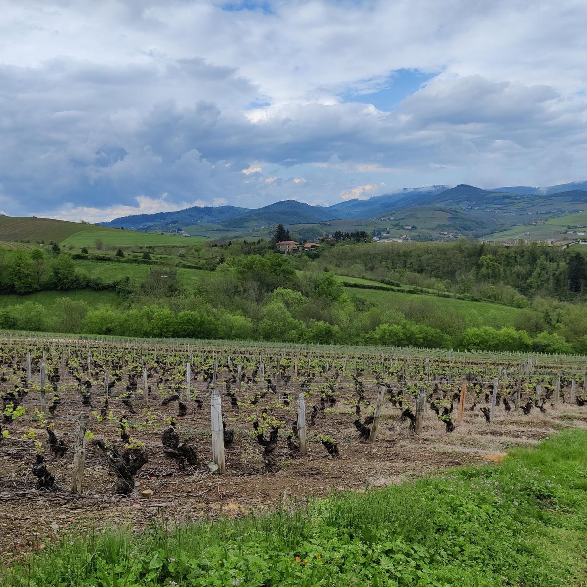
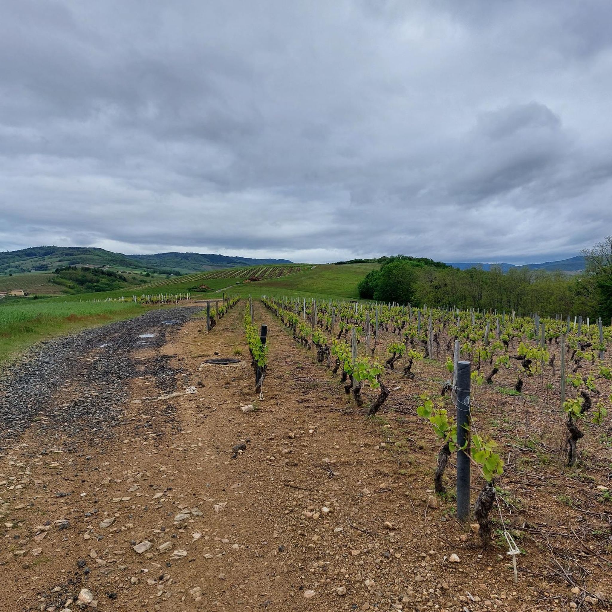
Hiking around Saint-Vérand offers a network of trails through the rolling hills and woodlands of the Beaujolais region. The landscape is characterized by vineyards, forests, and agricultural land, with elevations providing views over the surrounding countryside. This area in the Rhône department provides diverse hiking experiences, from gentle walks to more challenging ascents.
Best hiking trails around Saint-Vérand
- The most popular hiking route is Mont Chatard Loop from Ternand, a 6.3 miles (10.2 km) trail that takes 3 hours…
Last updated: June 27, 2026
4.7
(19)
54
hikers
10.2km
03:09
390m
390m
Moderate hike. Good fitness required. Easily-accessible paths. Suitable for all skill levels.
5.0
(5)
32
hikers
13.2km
04:07
500m
500m
Moderate hike. Good fitness required. Easily-accessible paths. Suitable for all skill levels.

Sign up for free
5.0
(4)
26
hikers
9.31km
02:54
360m
360m
Moderate hike. Good fitness required. Easily-accessible paths. Suitable for all skill levels.
5.0
(1)
9
hikers
6.50km
01:57
210m
220m
Easy hike. Great for any fitness level. Easily-accessible paths. Suitable for all skill levels.
5.0
(1)
9
hikers
6.50km
01:58
220m
220m
Easy hike. Great for any fitness level. Easily-accessible paths. Suitable for all skill levels.
Get access to more routes and recommendations from other explorers.
Sign up for free
Already have an account?
Our route recommendations are based on thousands of hikes, rides, and runs completed by other people on komoot.
Start today with a free account
Your next adventure awaits.
Login or Signup

Tips from the Community


Mont Chatard is a Beaujolais mountain which rises to 696 meters above sea level.
0
0
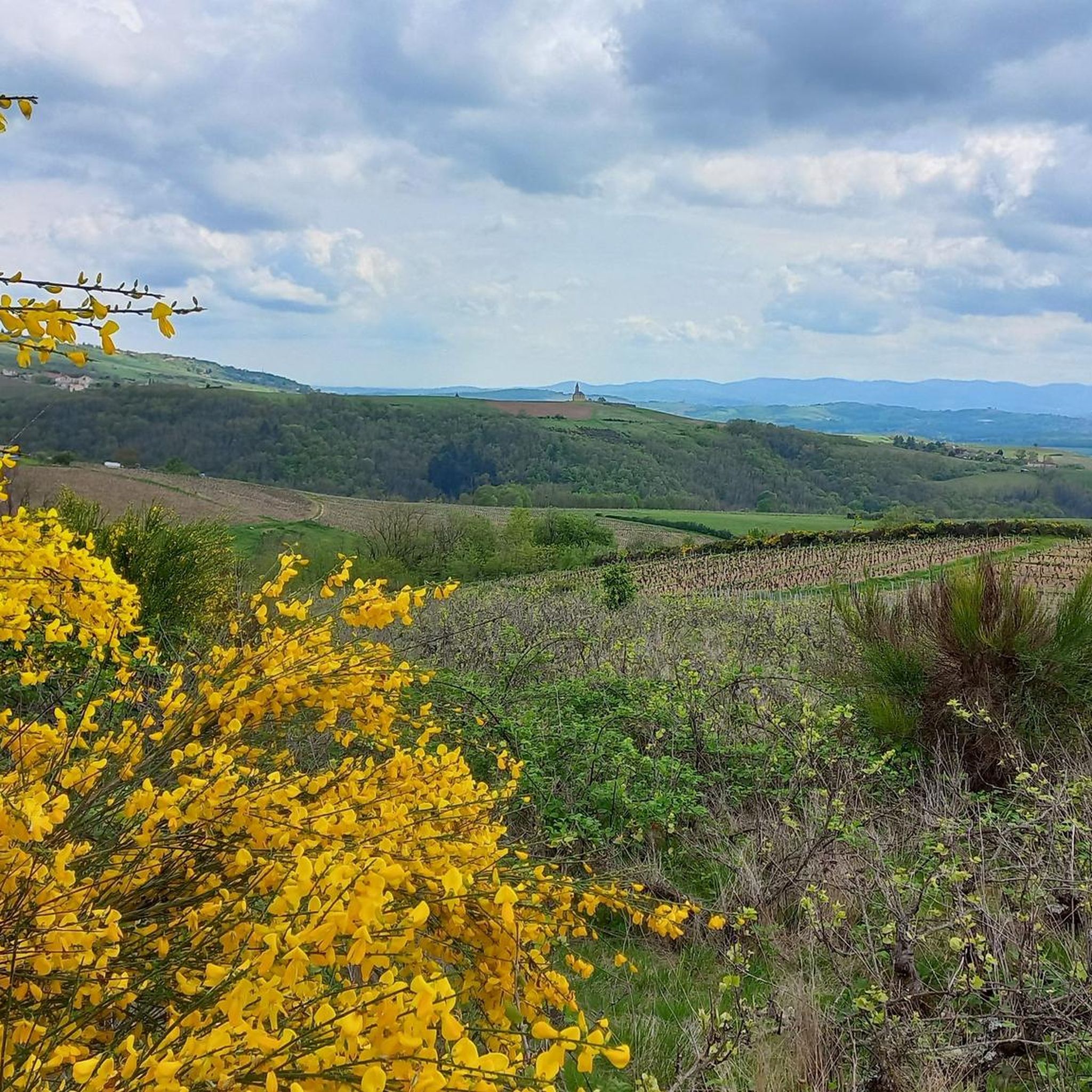
Located in the south of Beaujolais, the commune of Ternand spreads out on both sides of the Azergues valley, encompassing the wooded slopes of Mont Chatard to the west, and a few wine-growing hills of Beaujolais to the east. The historic village includes the ruins of the 12th century castle and a church which houses frescoes from the Carolingian era. The ruins of the castle and the keep, the church which has a remarkable porch, old residences from the 14th century and the 15th century including the so-called tailor's house, bear witness to the time when Ternand was a stronghold of the bishops and counts. from Lyon. The route of the walkway allows you to go around the village and, due to its dominant position, offers a pretty view of the Azergues valley.
0
0
Frequently Asked Questions
How many hiking trails are available around Saint-Vérand?
There are over 400 hiking routes available around Saint-Vérand, offering a wide range of options for different skill levels and preferences.
What kind of landscape can I expect when hiking in Saint-Vérand?
Hiking around Saint-Vérand, located in the Beaujolais region, offers a landscape characterized by rolling hills, dense woodlands, and expansive vineyards. You'll find varied terrain, from agricultural land to forests, with elevations providing scenic views over the surrounding countryside.
Are there easy hiking options suitable for beginners or families in Saint-Vérand?
Yes, Saint-Vérand offers numerous easy hiking options. There are over 130 easy routes, perfect for beginners or families looking for a more relaxed walk. An example is the Mont Chatard loop from Saint-Vérand, which is 6.5 km long and considered easy.
What do other hikers say about the trails in Saint-Vérand?
The trails in Saint-Vérand are highly rated by the komoot community, with an average score of 4.6 stars from over 800 reviews. Hikers often praise the varied terrain, scenic views, and the opportunity to explore the charming Beaujolais landscape.
Are there any circular hiking routes in Saint-Vérand?
Yes, many of the hiking routes around Saint-Vérand are circular, allowing you to start and end in the same location. Popular examples include the Mont Chatard Loop from Ternand and the Ternand – Mont Chatard loop from Ternand.
What are some interesting landmarks or attractions to see while hiking near Saint-Vérand?
While hiking near Saint-Vérand, you can explore several interesting landmarks. The region features numerous mountain passes like Col de la Croix des Fourches and Croix Papin Pass. Additionally, there are several historic castles, such as Charnay Village and Castle, the Renaissance castle, and Rochebonne Castle, which add a cultural dimension to your outdoor adventure.
Can I hike with my dog in Saint-Vérand?
While specific regulations for dogs on trails can vary, generally, dogs are welcome on many hiking paths in the Beaujolais region, provided they are kept under control, especially near livestock or in protected natural areas. Always check local signage for any specific restrictions.
Are there any challenging hikes for experienced hikers in Saint-Vérand?
Yes, for experienced hikers seeking more challenge, Saint-Vérand offers 47 difficult routes. These trails typically feature significant elevation gain and longer distances, providing a more demanding experience through the region's hills and woodlands.
What is the best time of year to go hiking in Saint-Vérand?
The Beaujolais region, where Saint-Vérand is located, is pleasant for hiking during spring, summer, and autumn. Spring offers blooming landscapes, summer provides warm weather for exploring vineyards, and autumn showcases beautiful fall foliage, especially during the grape harvest season. Winter hiking is also possible, though some trails might be muddy or require appropriate gear.
Are there any routes that offer panoramic views of the Beaujolais region?
Absolutely. Many trails in Saint-Vérand ascend the rolling hills, providing excellent vantage points for panoramic views of the surrounding Beaujolais vineyards, forests, and countryside. The Ternand – Mont Chatard loop from Ternand, for instance, traverses open fields that offer expansive vistas.
Is public transport available to access hiking trails in Saint-Vérand?
Access to specific trailheads by public transport can be limited in rural areas like Saint-Vérand. While some villages may have bus services, it's often more convenient to reach trail starting points by car. Parking is generally available in or near the villages.
What is the typical duration for hikes around Saint-Vérand?
Hikes around Saint-Vérand vary greatly in duration. Easy routes like the Mont Chatard loop from Croix de Brou can take around 2 hours. More moderate trails, such as the Mont Chatard Loop from Ternand, typically require about 3 hours, while longer or more challenging routes can extend to half a day or more.
Most popular routes around Saint-Vérand
Most popular attractions around Saint-Vérand

Get inspired with the komoot mobile app


Explore more
Browse the best Hikes in other regions.
