The best walks and hikes around Vaux-En-Beaujolais
4.6
(767)
4,472
hikers
26
hikes
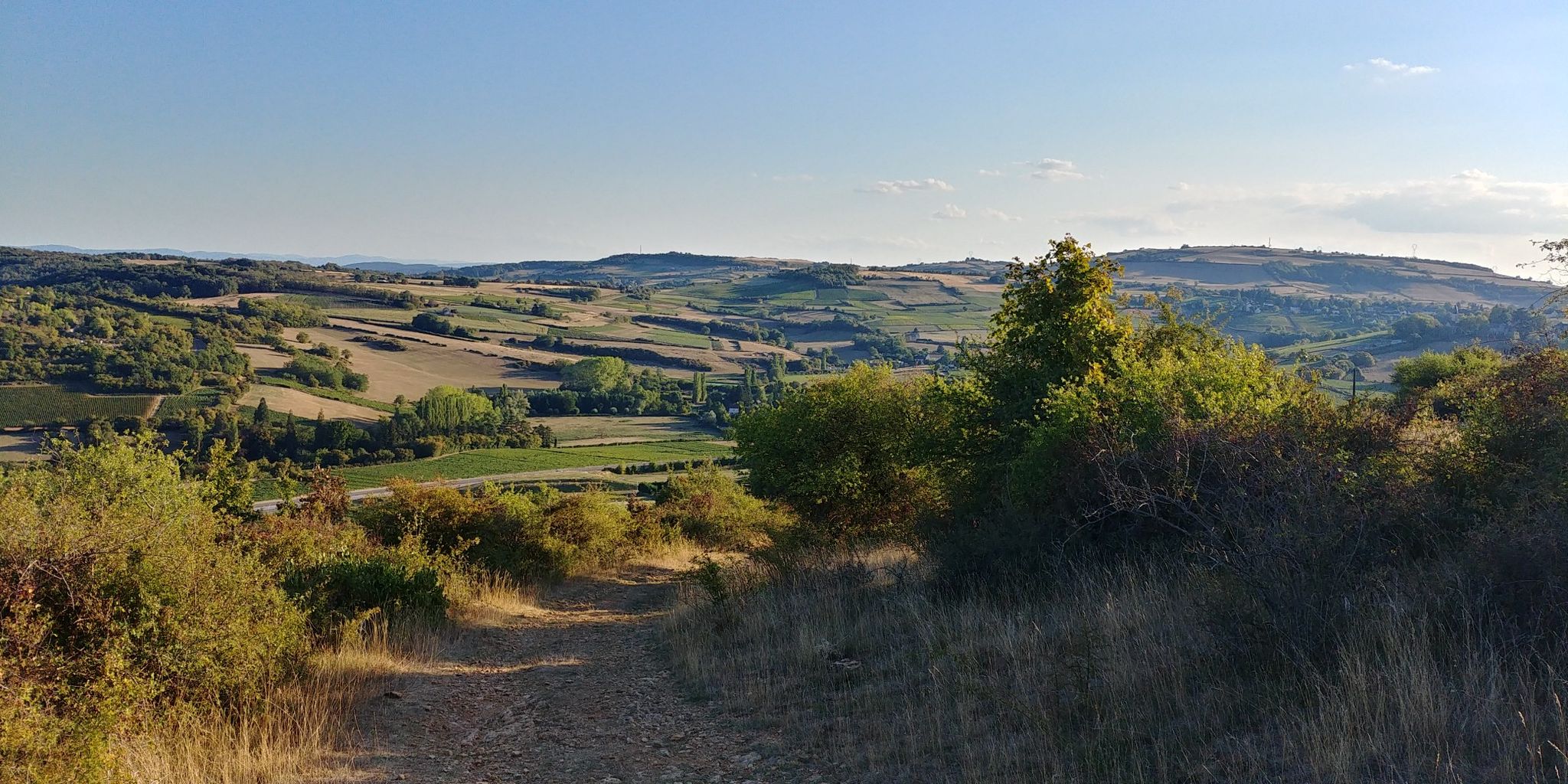
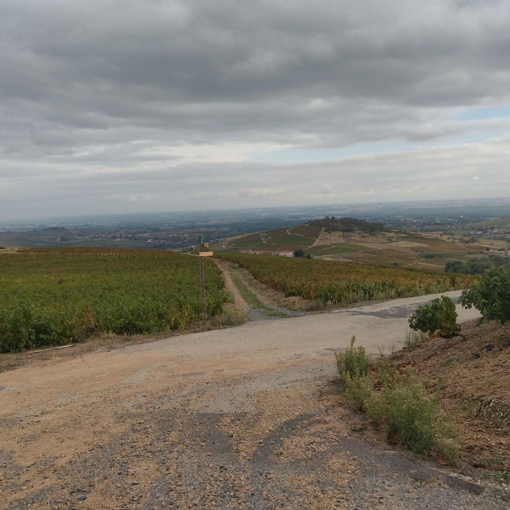
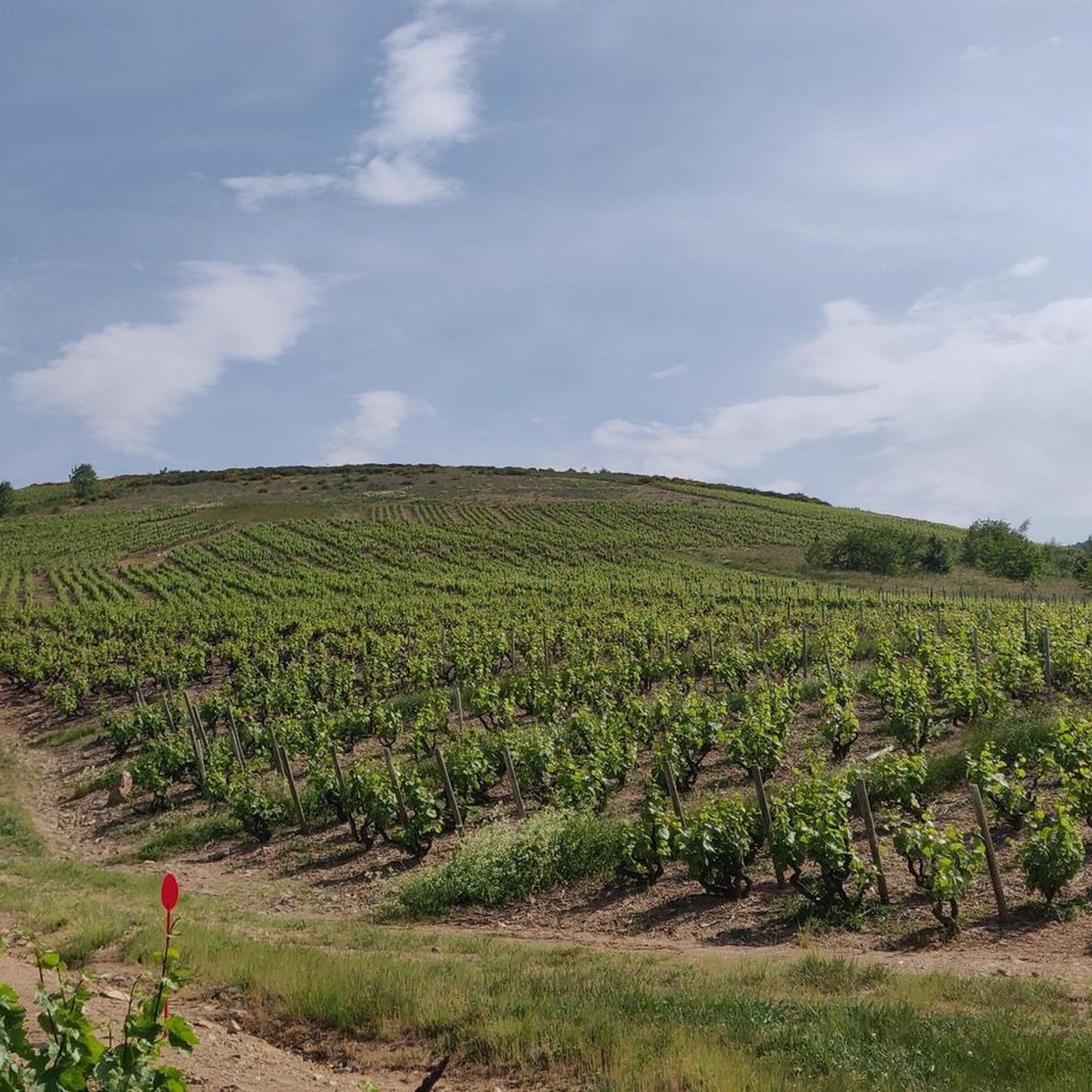
Hiking around Vaux-En-Beaujolais offers varied terrain across rolling vineyards and golden stone hills. The region is characterized by its diverse geology, including granite, schist, limestone, and volcanic rock, which shapes the landscape. Prominent features like Mont Brouilly and extensive forests provide a range of natural environments for outdoor activities. This area provides numerous routes through its distinctive "Pays des Pierres Dorées" and shaded woodlands.
Best hiking trails around Vaux-En-Beaujolais
- The most popular hiking route is Saint-Cyr-le-Chatoux – Joncin Pass loop…
Last updated: July 9, 2026
4.6
(16)
130
hikers
13.1km
04:02
470m
470m
Moderate hike. Good fitness required. Easily-accessible paths. Suitable for all skill levels.
4.7
(10)
67
hikers
Moderate hike. Good fitness required. Easily-accessible paths. Suitable for all skill levels.

Sign up for free
12
hikers
Hard hike. Very good fitness required. Mostly accessible paths. Sure-footedness required.
4.0
(5)
12
hikers
Hard hike. Very good fitness required. Easily-accessible paths. Suitable for all skill levels.
4.7
(3)
11
hikers
Hard hike. Very good fitness required. Easily-accessible paths. Suitable for all skill levels.
Get access to more routes and recommendations from other explorers.
Sign up for free
Already have an account?
Our route recommendations are based on thousands of hikes, rides, and runs completed by other people on komoot.
Start today with a free account
Your next adventure awaits.
Login or Signup

Other adventures around Vaux-En-Beaujolais

Tips from the Community

Great snack for a break with a magnificent view of the vineyards. 🌭🍺🍟
0
0

Beautiful pass at 736 m, quite gentle, 6.1% average. Nice to do by mixing with the 76 gravel hiking trail.
3
0

By the smell, this vespasian seems to be used.
0
0

For a little refreshing break between 2 passes
0
0

Water point at the corner of the Parasoir relay, ideal for refueling when it's hot, free access and extremely practical! For more advice follow us on Komoot and Instagram @chouchou_team
0
0

There is a water point next to the church
0
0

quite technical tour...good condition recommend
0
0

The Col de la Croix-Rosier is a road pass in the Massif Central, located in the Rhône department. Its altitude is 721 meters.
0
0
Frequently Asked Questions
How many hiking trails are available in Vaux-En-Beaujolais?
Vaux-En-Beaujolais offers a diverse network of nearly 20 hiking trails. These routes cater to various preferences, with options ranging from easy strolls through vineyards to more challenging ascents in the higher elevations.
What makes hiking in Vaux-En-Beaujolais unique?
Hiking in Vaux-En-Beaujolais is unique due to its picturesque setting amidst rolling vineyards, the distinctive 'Pays des Pierres Dorées' (Golden Stone Country) with its glowing hills, and diverse natural landscapes. You'll encounter varied geology, from granite to volcanic rock, and enjoy stunning panoramas, especially from prominent landmarks like Mont Brouilly.
What are the difficulty levels of hiking trails in Vaux-En-Beaujolais?
The trails around Vaux-En-Beaujolais offer a range of difficulty levels. You'll find approximately 3 easy routes, 8 moderate routes, and 8 difficult routes, ensuring options for hikers of all experience levels. For example, a moderate option is the The Pyramid – Source des Trois Notaires loop from Col de la Croix Montmain, while a more challenging one is the Col du Télégraphe - 678 m – Col de la Croix Rosier (721 m) loop from Vaux-en-Beaujolais.
Are there any family-friendly hiking options in Vaux-En-Beaujolais?
Yes, Vaux-En-Beaujolais offers several easy routes suitable for families. These trails often wind through the charming villages and vineyards, providing gentle walks with beautiful scenery. Look for routes categorized as 'easy' for the most family-friendly experiences.
What kind of natural features and landmarks can I see on hikes around Vaux-En-Beaujolais?
You can expect to see a variety of natural features and landmarks. The region is characterized by its extensive vineyards, golden stone hills, and dense forests. Prominent natural landmarks include Mont Brouilly, a 'sleeping volcano' offering breathtaking views and a geoscope, and Le Saule d'Oingt, a significant natural monument.
Are there any historical or cultural attractions to visit near the hiking trails?
Absolutely. The region is rich in history and culture. You can explore the charming village of Vaux-En-Beaujolais itself, known as 'Clochemerle', with its traditional golden stone houses. The medieval village of Oingt, ranked among France's most beautiful villages, is also nearby. Additionally, the fairy-tale-like Montmelas Castle is a notable historical site in the area.
What do other hikers enjoy most about hiking in Vaux-En-Beaujolais?
The hiking experience in Vaux-En-Beaujolais is highly rated by the komoot community, with an average score of 4.6 stars from over 600 reviews. Hikers frequently praise the diverse terrain, from rolling vineyards to shaded forests, and the stunning panoramic views. The well-maintained network of trails and the charming villages also receive positive feedback.
Are there any circular hiking routes available?
Yes, many of the trails in Vaux-En-Beaujolais are circular routes, allowing you to start and end your hike in the same location. For example, the Saint-Cyr-le-Chatoux – Joncin Pass loop from Saint-Cyr-le-Chatoux is a popular moderate circular trail, and the Col de la Roche (594 m) – Col du Télégraphe - 678 m loop from Vaux-en-Beaujolais offers a more challenging loop option.
What is the best time of year to go hiking in Vaux-En-Beaujolais?
The Beaujolais region is beautiful throughout the year, but spring and autumn are particularly popular for hiking. In spring, the vineyards burst into life, and in autumn, the foliage offers spectacular colors. Summer provides warm weather for exploring, while winter can offer crisp, clear days, though some higher trails might be more challenging.
Are there options for combining hiking with local gastronomy or wine tasting?
Yes, the Beaujolais region is renowned for its wine and culinary delights. Many villages, including Vaux-en-Beaujolais, serve as starting points for trails that allow you to explore the wine-growing countryside. You can often find 'foodie walks' that include visits to wineries and tastings of local produce and wines, enhancing your outdoor experience.
Where can I find parking for hiking trails in Vaux-En-Beaujolais?
Many villages in the region, including Vaux-en-Beaujolais, serve as starting points for trails and typically offer public parking facilities. It's advisable to check specific route details on komoot for recommended parking areas near your chosen trailhead.
Can I reach hiking trails in Vaux-En-Beaujolais using public transport?
While public transport options might be limited directly to all trailheads, some villages in the Beaujolais region are accessible by local bus services. For specific routes, it's recommended to check local transport schedules and plan your journey accordingly, as many hikers prefer to arrive by car to access the more remote starting points.
Most popular routes around Vaux-En-Beaujolais
Most popular attractions around Vaux-En-Beaujolais

Get inspired with the komoot mobile app


Explore more
Browse the best Hikes in other regions.
