The best MTB trails around Villiers-Charlemagne
4.5
(143)
780
riders
68
rides
Mountain biking around Villiers-Charlemagne offers diverse terrain, characterized by the scenic Mayenne River and its extensive towpath. The region features a mix of riverbanks, rural paths, and potentially wooded areas, providing varied experiences for mountain bikers. This landscape, with its natural features and views of local châteaux, creates an attractive backdrop for outdoor adventures.
Best mountain bike trails around Villiers-Charlemagne
- The most popular mountain bike trail is A little bridge – Bernard loop from Meslay-du-Maine, a 31.2 miles (50.2 km) trail that takes 3 hours 26 minutes to complete. This moderate route offers a balanced ride through the rural landscape.
- Another top favourite among local mountain bikers is Briacé lock – Bonne Lock loop from Villiers-Charlemagne, a moderate 36.9 miles (59.4 km) path. This route follows the Mayenne River, offering refreshing views along the water.
- Local mountain bikers also love the The Rongère Lock – Saint-Sulpice Church loop from Quelaines-Saint-Gault, a 27.7 miles (44.6 km) trail leading through varied terrain, often completed in about 3 hours 9 minutes.
- Mountain biking around Villiers-Charlemagne is defined by the Mayenne River, its towpath, and rural paths, with views of local châteaux. The network offers options for different ability levels, from moderate to difficult.
- The routes in Villiers-Charlemagne are highly rated by the komoot community with an average score of 4.5 stars from more than 100 reviews. More than 600 mountain bikers have used komoot to explore Villiers-Charlemagne's varied terrain.
Last updated: July 4, 2026
29
riders
50.2km
03:28
420m
420m
Moderate mountain bike ride. Good fitness required. Suitable for all skill levels.
3.8
(13)
26
riders
46.2km
03:27
460m
460m
Moderate mountain bike ride. Good fitness required. Advanced riding skills necessary.

Sign up for free
4.7
(6)
41
riders
58.9km
04:14
490m
490m
Moderate mountain bike ride. Good fitness required. Suitable for all skill levels.
5.0
(1)
16
riders
53.8km
03:39
490m
490m
Moderate mountain bike ride. Good fitness required. Suitable for all skill levels.
5.0
(2)
12
riders
35.8km
02:18
280m
280m
Moderate mountain bike ride. Good fitness required. Suitable for all skill levels.
Get access to more routes and recommendations from other explorers.
Sign up for free
Already have an account?
Our route recommendations are based on thousands of hikes, rides, and runs completed by other people on komoot.
Start today with a free account
Your next adventure awaits.
Login or Signup

Tips from the Community

A quiet and cool place, perfect during the heatwave. Running to stay in shape 👍
0
0

L'Ecluse de Briacé is a historic site on Mayenne, where you can enjoy a picturesque hike along the canal.
2
0
The towpath along the Mayenne is full of nature, magnificent views, bridges and locks. You will certainly like this section of the towpath.
2
0
Château de la Valette in Houssay is a 16th century castle located on the banks of the Mayenne River and offering panoramic views of the surrounding countryside. You can admire the architecture of the castle, which combines medieval and Renaissance elements.
2
0
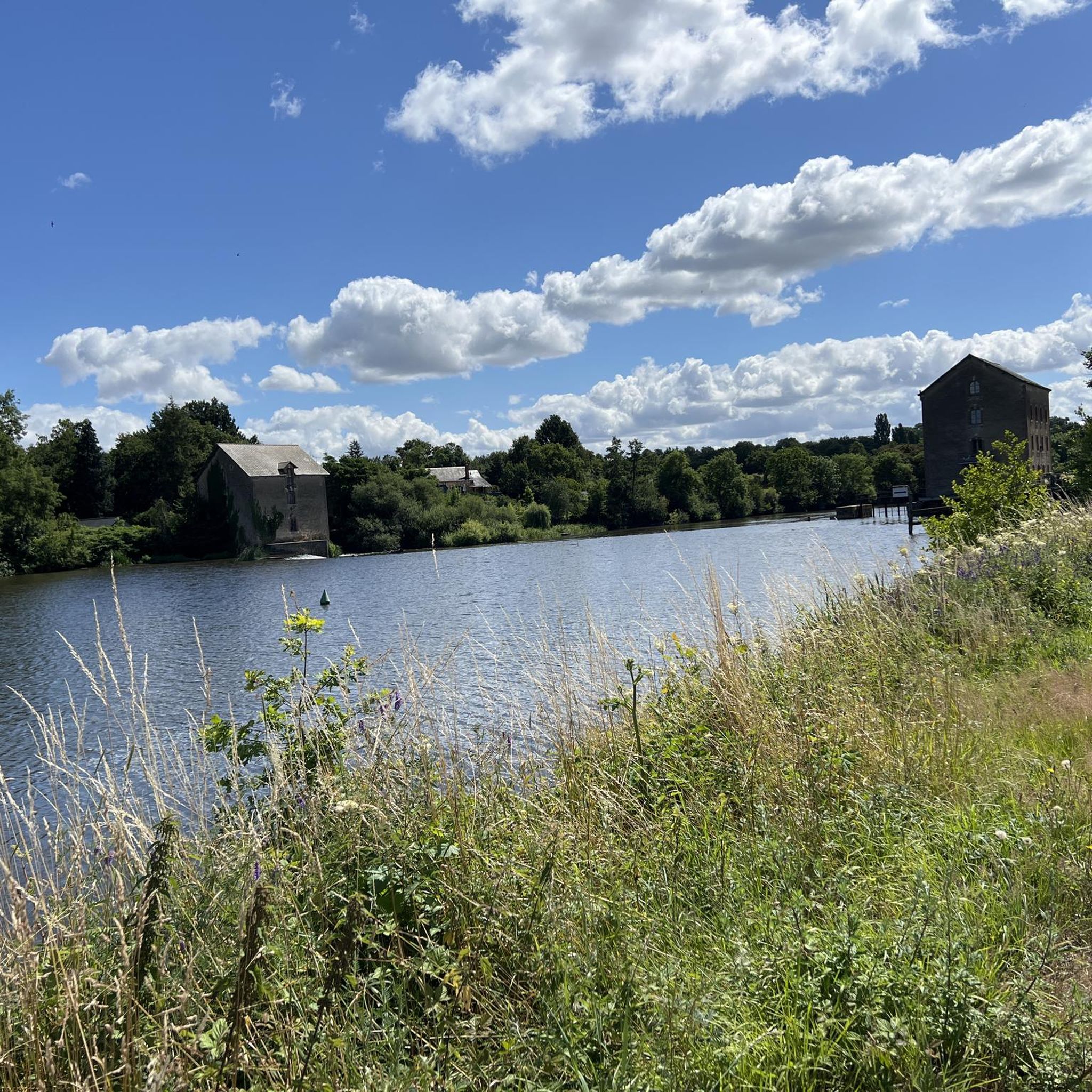
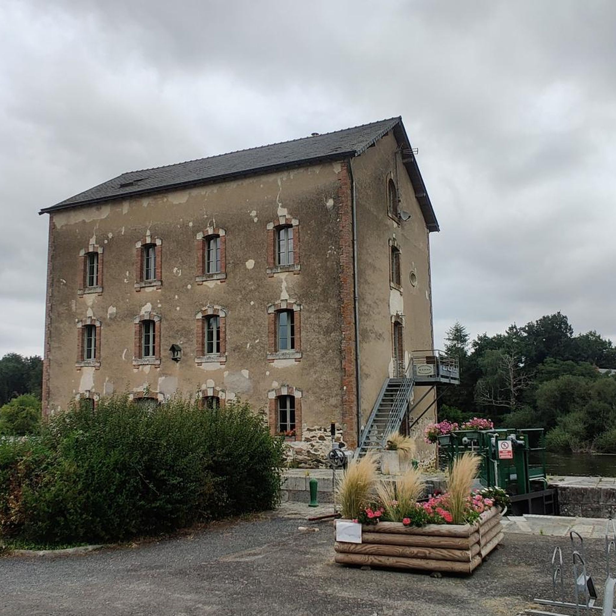
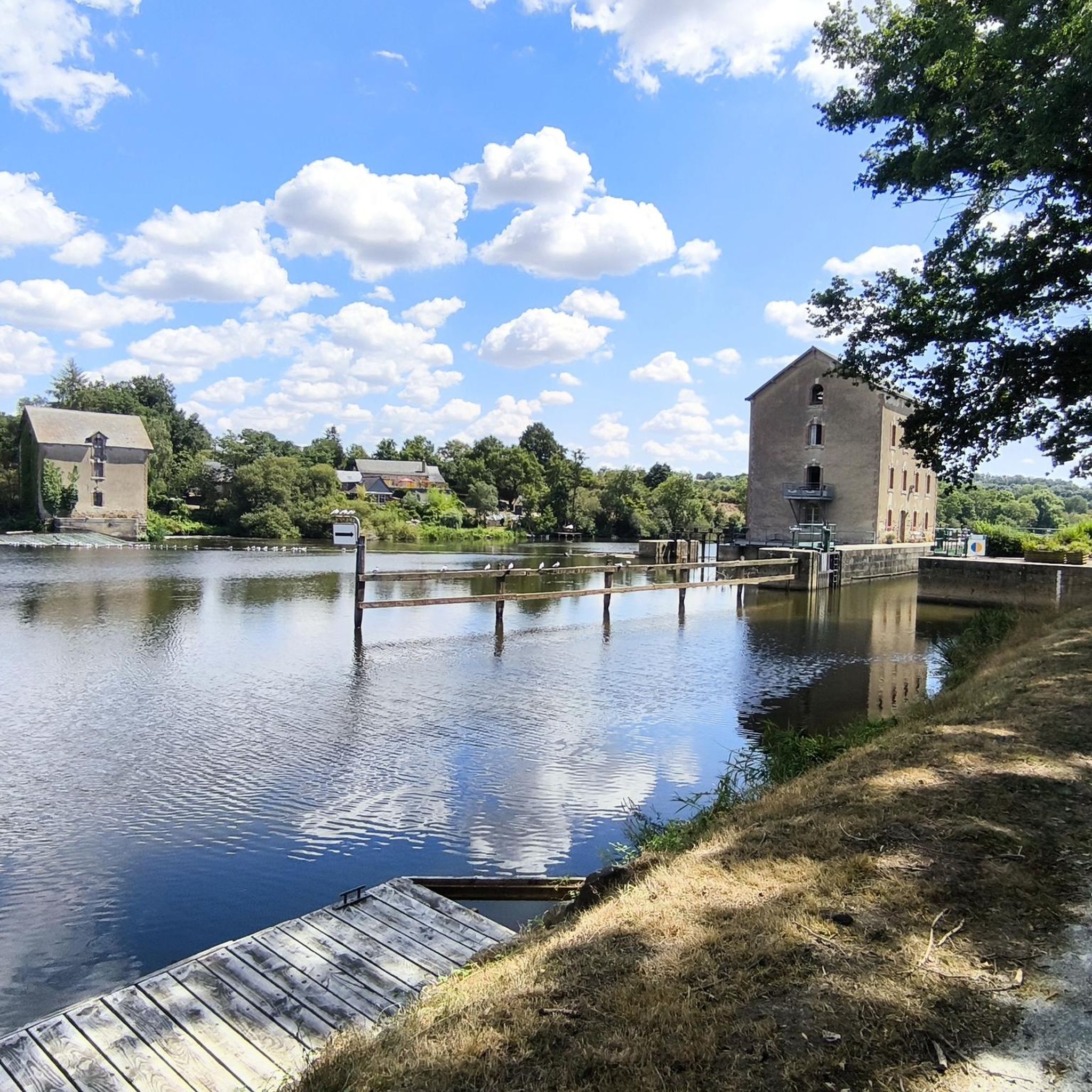
The Rongère lock is a historic and panoramic site on the Mayenne River in France. There you will see the old mill, the bridge and the lock keeper's house, which date from the 19th century. You can also enjoy views of the river and surrounding countryside. A great way to discover the heritage and nature of South Mayenne.
2
0
This unusual church has been covered with a covering and has an imposing bell tower. It's worth taking a look when you visit.
2
0
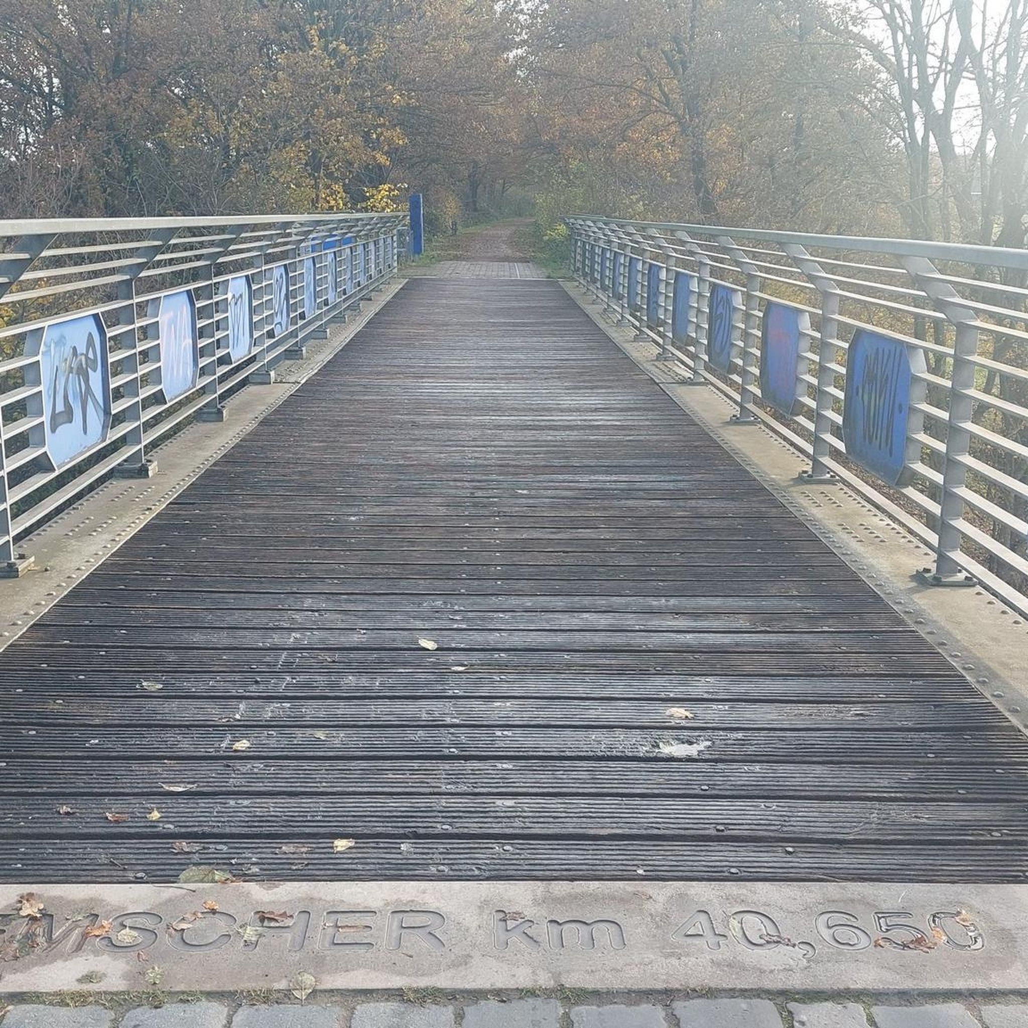
A beautiful little bridge that spans the Ouette. A nice little find on the road.
3
0
This Roman Road will take you through two charming villages, Parné-sur-Roc and Entrammes, where you can admire the Romanesque church, the picturesque houses and the famous fish farm. You can also follow the old Roman road which linked Rennes and Le Mans, and discover the remains of a Gallo-Roman villa.
2
0
Frequently Asked Questions
How many mountain bike trails are available around Villiers-Charlemagne?
There are over 60 mountain bike trails in the Villiers-Charlemagne area, offering a diverse range of experiences for riders of all levels. You'll find options from easy to difficult, with many routes following the scenic Mayenne River.
Are there easy mountain bike trails suitable for beginners or families?
Yes, Villiers-Charlemagne offers several easy mountain bike trails. The region's gently rolling topography and accessible forest paths make it suitable for beginners and families. Out of 65 total routes, 21 are rated as easy.
What kind of terrain can I expect on the mountain bike trails in Villiers-Charlemagne?
The trails around Villiers-Charlemagne feature a mix of terrain, including accessible forest paths, rural tracks, and scenic towpaths along the Mayenne River. You'll experience charming rural landscapes and diverse natural settings.
What are some notable landmarks or attractions I can see while mountain biking?
Many routes offer views of local châteaux and natural features. A prominent landmark is the impressive Mayenne Viaduct, which spans 300 meters over the river. Other points of interest include the Lock Keeper's House of La Rongère and the historic Château-Gontier Castle.
Are there any circular mountain bike routes in the area?
Yes, many of the mountain bike trails around Villiers-Charlemagne are designed as loops, allowing you to start and finish in the same location. For example, the Briacé lock – Bonne Lock loop from Villiers-Charlemagne is a popular moderate circular route.
What do other mountain bikers say about the trails in Villiers-Charlemagne?
The mountain bike trails in Villiers-Charlemagne are highly regarded by the komoot community, with an average rating of 4.5 stars from over 100 reviews. Riders often praise the varied terrain, scenic river views, and the well-maintained paths.
What is a good moderate mountain bike trail to try?
A popular moderate option is the A little bridge – Bernard loop from Meslay-du-Maine. This 31.2-mile (50.2 km) trail typically takes around 3 hours and 26 minutes to complete, offering a balanced ride through the rural landscape.
Are there any more challenging mountain bike routes for experienced riders?
Yes, for those seeking a more challenging ride, there are 8 difficult trails available. One such route is The Rongère Lock – Saint-Sulpice Church loop from Quelaines-Saint-Gault, a 27.7-mile (44.6 km) trail that leads through varied and demanding terrain.
What is the best time of year for mountain biking in Villiers-Charlemagne?
The Pays-de-la-Loire region generally offers pleasant conditions for mountain biking from spring through autumn. The rural landscapes are particularly beautiful during these seasons, and the trails are typically dry and well-suited for riding.
Is there parking available near the mountain bike trails?
While specific parking locations for each trail are best checked on individual route pages, Villiers-Charlemagne and its surrounding villages typically offer public parking options that can serve as starting points for your rides.
Can I reach the mountain biking areas by public transport?
Access to Villiers-Charlemagne and its trailheads by public transport may be limited. It is advisable to check local bus schedules or consider driving to the area for more flexibility in accessing various starting points for the mountain bike routes.
Are there any longer mountain bike routes for extended rides?
For a longer adventure, consider the Briacé lock – Bonne Lock loop from Villiers-Charlemagne. This moderate route spans 36.9 miles (59.4 km) and offers an extended ride through the Mayenne countryside, following the river for refreshing views.
Most popular routes around Villiers-Charlemagne
Most popular attractions around Villiers-Charlemagne

Get inspired with the komoot mobile app


Explore more
Browse the best MTB trails in other regions.
