The best running trails around Sant'Antonino
4.3
(167)
6,743
runners
239
runs
Jogging around Sant'Antonino offers a diverse range of landscapes, from undulating hills and wooded paths to scenic valley routes. The region features trails that wind through natural areas, past historical sites, and provide panoramic views. Runners can explore a mix of terrain, including paths along ridges and through valleys, catering to various preferences. This varied topography makes Sant'Antonino an appealing destination for outdoor activities, particularly jogging.
Best jogging routes around Sant'Antonino
- The most popular jogging route is Sentier vers Palmento – View of the Balagna Valley loop from Poghju, a 6.9 miles (11.1 km) trail that takes 1 hour 16 minutes to complete. This route offers views of the Balagna Valley with moderate elevation changes.
- Another top favourite among local runners is Ridge loop from Santa-Reparata-di-Balagna, a difficult 4.5 miles (7.2 km) path. This trail features significant elevation gain along a ridge, providing challenging terrain and expansive vistas.
- Local runners also love the Small Fortification of Algajola loop from Corbara, a 4.9 miles (7.9 km) trail leading through coastal areas and past historical fortifications, often completed in about 53 minutes.
- Jogging around Sant'Antonino is defined by scenic valleys, historical points, and varied terrain, including ridges and coastal paths. The network offers options for different ability levels, from moderate loops to more challenging ascents.
- The routes in Sant'Antonino are highly rated by the komoot community with an average score of 4.2 stars from over 160 reviews. More than 6000 runners have used komoot to explore Sant'Antonino's varied terrain.
Last updated: July 5, 2026
5.0
(2)
27
runners
Moderate run. Good fitness required. Mostly paved surfaces. Suitable for all skill levels.
5.0
(1)
23
runners
7.26km
01:04
370m
370m
Hard run. Very good fitness required. Sure-footedness, sturdy shoes and alpine experience required.

Sign up for free
5.0
(1)
22
runners
10.4km
01:25
430m
430m
Hard run. Very good fitness required. Mostly paved surfaces. Suitable for all skill levels.
5.0
(1)
19
runners
Hard run. Very good fitness required. Sure-footedness, sturdy shoes and alpine experience required.
3.0
(1)
23
runners
16.1km
02:24
730m
740m
Hard run. Very good fitness required. Sure-footedness, sturdy shoes and alpine experience required.
Get access to more routes and recommendations from other explorers.
Sign up for free
Already have an account?
Our route recommendations are based on thousands of hikes, rides, and runs completed by other people on komoot.
Start today with a free account
Your next adventure awaits.
Login or Signup

Tips from the Community


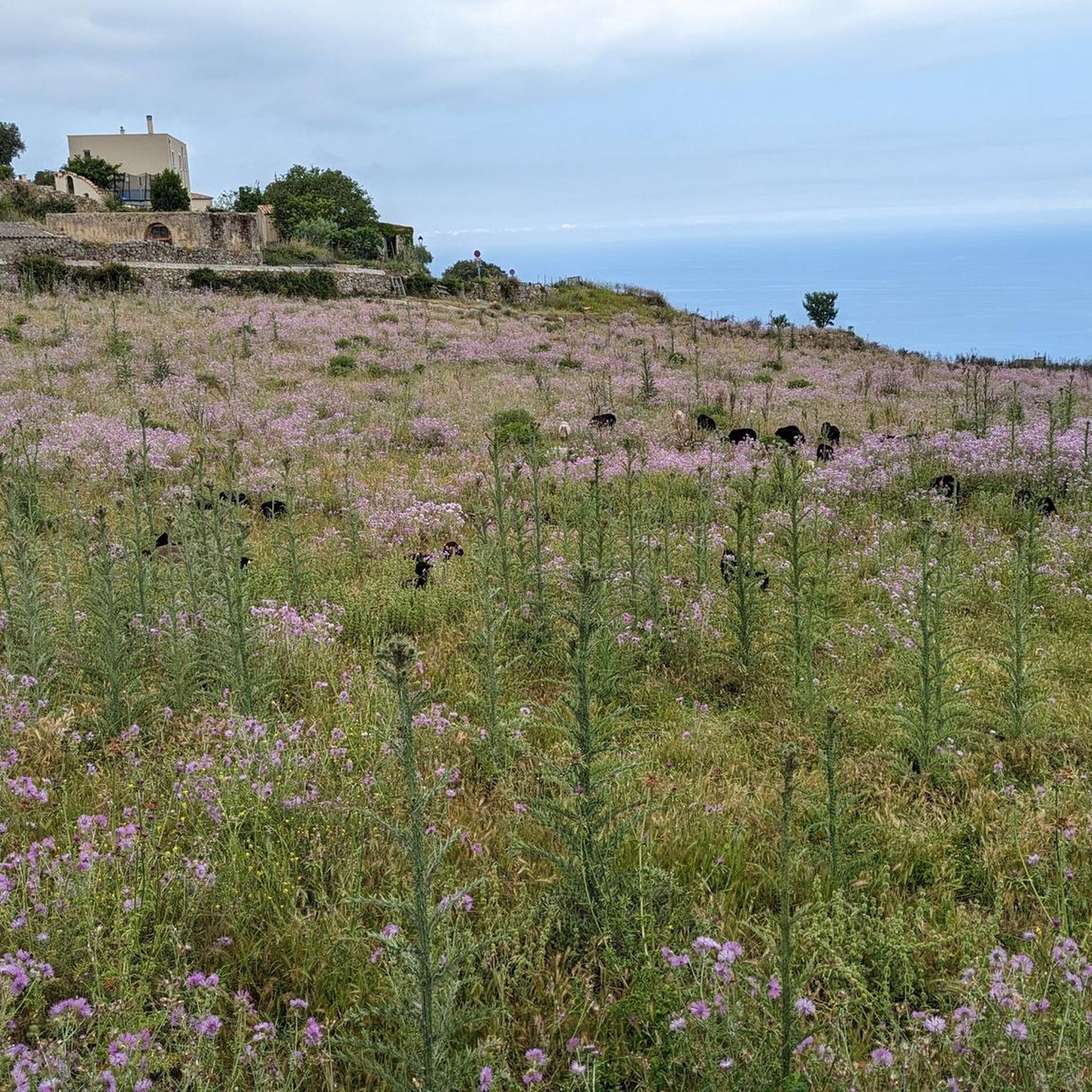
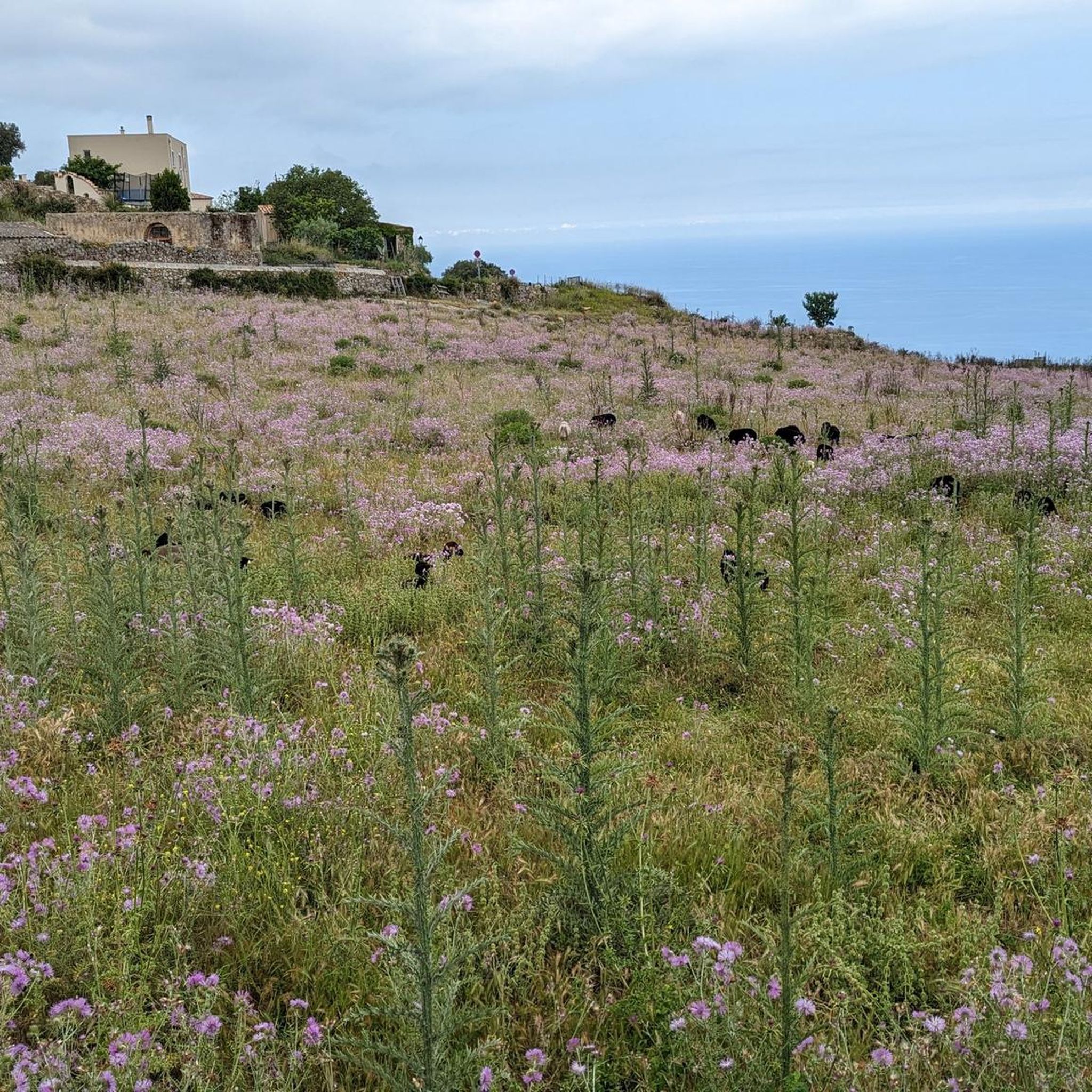
The church, located in the middle of a cemetery, was built in the 11th century in the Pisan-Romanesque style. It is considered one of the most beautiful churches in Corsica. It was recently extensively renovated with funds from the EU and the Corsican regional association.
0
0

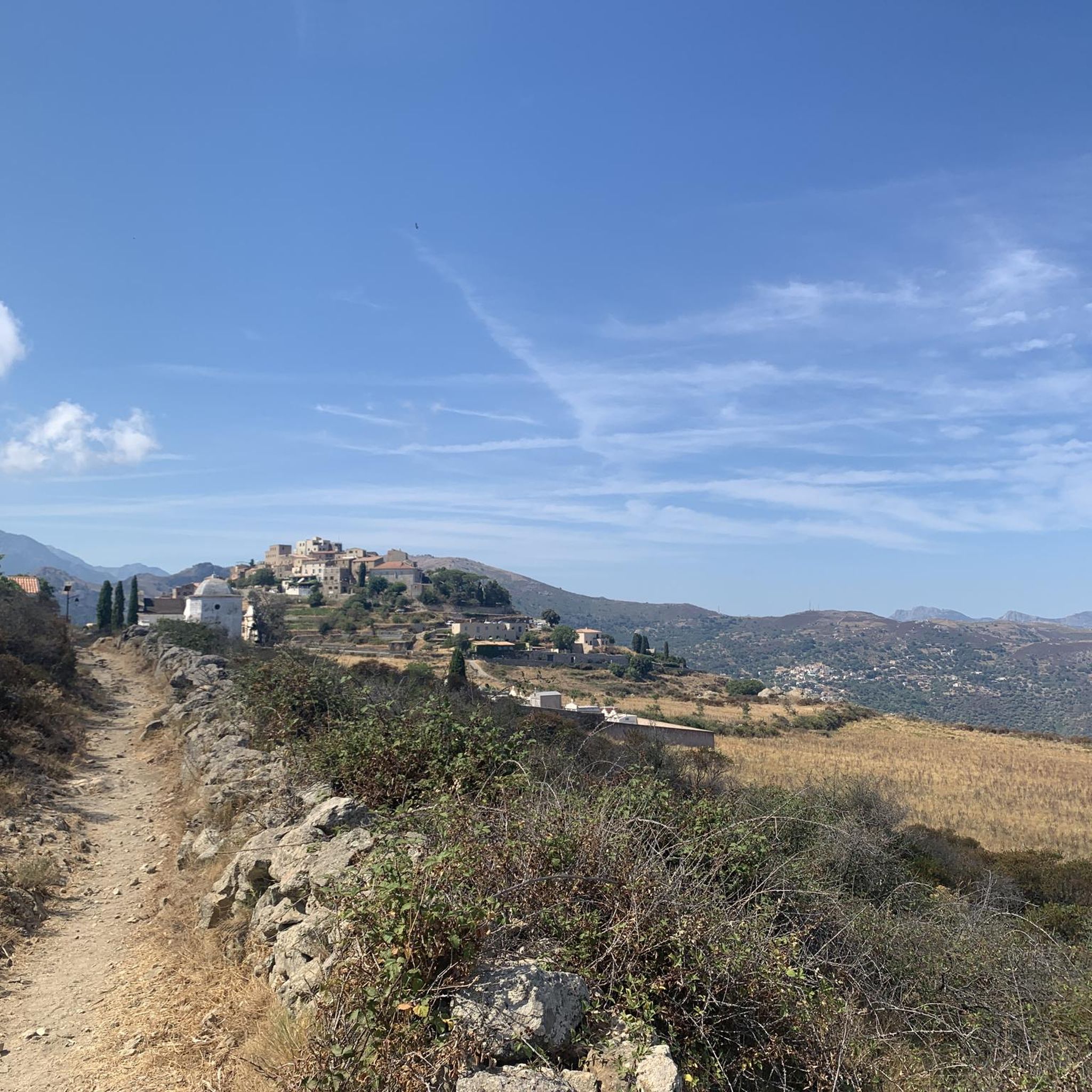
The charming little village of Occiglioni is worth a detour for many reasons. Its stone streets, typical of the Corsican maquis, give it a certain charm, and the shaded cafés are ideal for a refreshing break. Don't forget to enjoy the views from the village terraces.
0
0

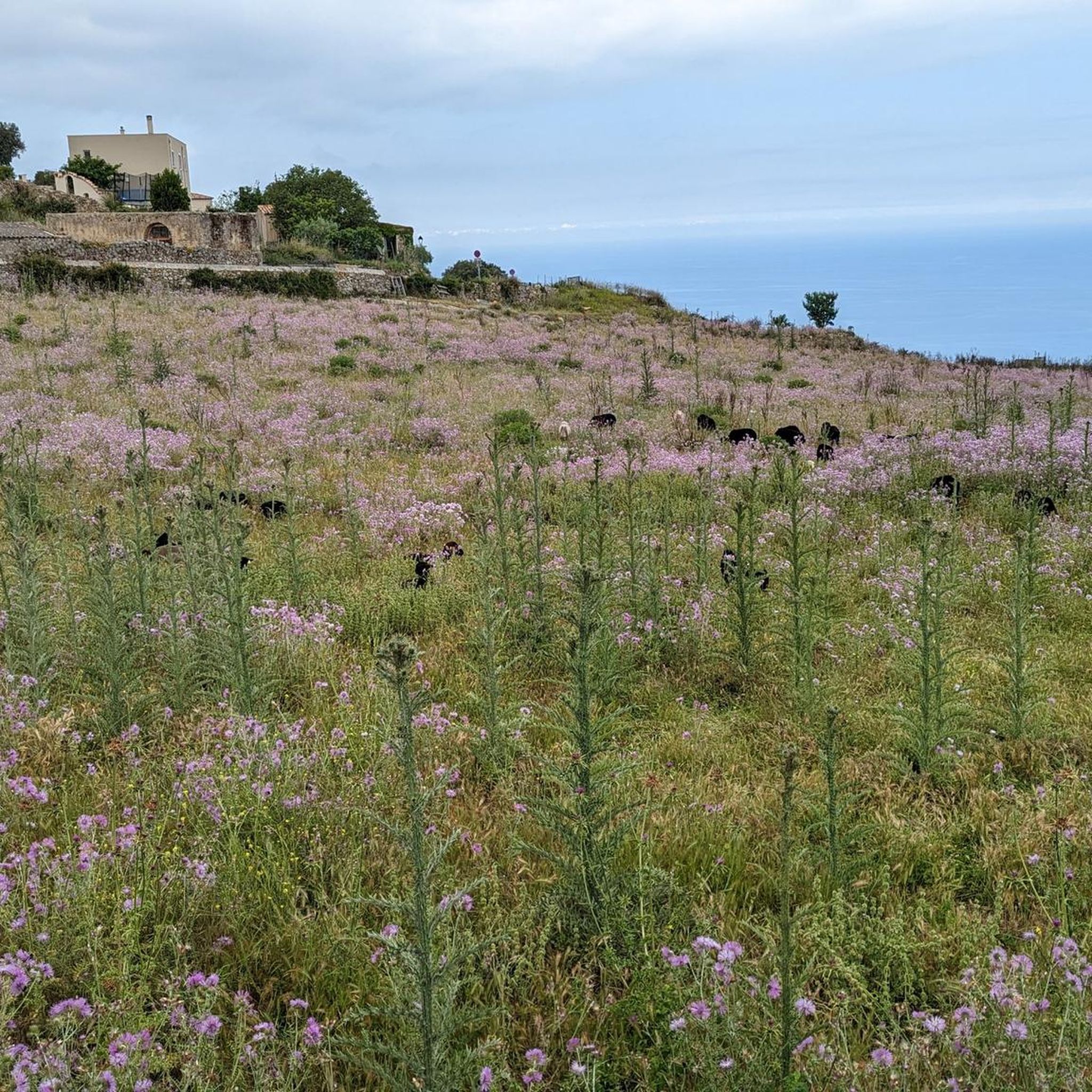
One of the most beautiful villages in Balagne, alleys, covered passages and houses blend into the rock. The view of the plain and the sea is splendid.
1
0

Frequently Asked Questions
How many running routes are available in Sant'Antonino?
Sant'Antonino offers a wide selection of running routes, with over 230 trails available for joggers of all levels. This includes a mix of easy, moderate, and difficult paths to explore.
What kind of terrain can I expect on running trails in Sant'Antonino?
The running trails in Sant'Antonino feature a diverse range of landscapes. You can expect routes that wind through undulating hills, wooded paths, and scenic valley routes. Some areas, like those near Cressa, offer trails through country roads and past farmhouses with panoramic views of the Monte Rosa chain. Other regions provide coastal paths, medieval historic centers, or routes through natural parks.
Are there easy jogging routes suitable for beginners in Sant'Antonino?
Yes, Sant'Antonino has several easy jogging routes perfect for beginners or those looking for a relaxed run. There are 13 routes specifically categorized as easy, offering gentle terrain and shorter distances. Look for paths with minimal elevation gain for a comfortable experience.
Are there challenging running trails for experienced joggers in Sant'Antonino?
Absolutely. For experienced runners seeking a challenge, Sant'Antonino offers over 110 difficult routes. These trails often feature significant elevation gain and varied terrain, such as the Ridge loop from Santa-Reparata-di-Balagna, which provides expansive vistas along a challenging ridge.
What do other runners say about the trails in Sant'Antonino?
The running routes in Sant'Antonino are highly regarded by the komoot community, holding an average rating of 4.2 stars from over 160 reviews. Runners frequently praise the scenic valleys, historical points, and the varied terrain, which includes both ridges and coastal paths, offering options for different ability levels.
Are there any circular jogging routes in Sant'Antonino?
Yes, many of the running routes in Sant'Antonino are designed as circular loops, allowing you to start and finish at the same point. An example is the popular Sentier vers Palmento – View of the Balagna Valley loop from Poghju, which offers moderate elevation changes and scenic views.
What natural attractions or landmarks can I see while jogging in Sant'Antonino?
While jogging in Sant'Antonino, you can encounter various natural attractions and landmarks. Depending on your chosen route, you might pass by the Ancient Holm Oak of Balagne, enjoy the View of La Pietra Island, or even see the unique Rock Formations of Roccapina. The region also features numerous viewpoints offering stunning panoramas.
Are there historical points of interest along the running paths in Sant'Antonino?
Yes, Sant'Antonino's diverse locations offer several historical points of interest. For instance, routes near Cressa might lead you past the 11th-century Oratorio di Sant'Antonino with its frescoes. In the lower Val Susa, you can find paths that pass through medieval historic centers or offer views of significant monuments like the Sacra di San Michele. The Small Fortification of Algajola loop from Corbara also takes you past historical fortifications.
How can I access the jogging routes, regarding parking or public transport?
Access to jogging routes in Sant'Antonino varies by location. Many trailheads offer parking facilities, especially in more rural areas. For routes closer to towns or villages, public transport options might be available. It's advisable to check specific route details for the most convenient access points and parking information.
What is the best time of year to go running in Sant'Antonino?
The best time of year for running in Sant'Antonino generally depends on the specific location and your preference for weather. Spring and autumn often offer milder temperatures, making them ideal for outdoor activities. Some regions, like those in Sicily, might be pleasant for running even in winter, while higher altitude trails might be best enjoyed in summer.
Are there any routes that offer panoramic views in Sant'Antonino?
Many running routes in Sant'Antonino are known for their panoramic views. Trails near Cressa offer impressive views of the Monte Rosa chain, while routes in the Monti Nebrodi in Sicily provide striking vistas. The View of Corbara – Our Lady of the Seven Sorrows loop from Corbara is another excellent option for scenic outlooks.
Can I find routes that pass near cafes or places to rest?
While specific route details would confirm, many areas in Sant'Antonino, especially those passing through or near villages and towns, will have opportunities for refreshments. The region's culture often includes local eateries and cafes. Some trails, like those in St. Antony's Forest, even feature designated rest areas.
Most popular attractions around Sant'Antonino

Get inspired with the komoot mobile app


Explore more
Browse the best Running Trails & Routes in other regions.
