The best road cycling routes around Cambrin
4.2
(250)
7,745
riders
561
rides
Road cycling routes around Cambrin traverse a landscape characterized by generally flat to gently rolling terrain, with occasional low hills providing modest ascents. The region features a network of roads that connect local towns and villages, often passing by rivers and historical sites. Road cyclists can expect varied routes, from longer, flatter rides to those incorporating short, steady climbs.
Best road cycling routes around Cambrin
- The most popular road cycling route is Mont des Cats – Mont des Cats Abbey…
Last updated: July 5, 2026
26
riders
117km
05:01
540m
540m
Hard road ride. Very good fitness required. Some segments of this route may be unpaved and difficult to ride.
5.0
(2)
18
riders
42.7km
01:53
300m
300m
Moderate road ride. Great for any fitness level. Some segments of this route may be unpaved and difficult to ride.

Sign up for free
3.0
(1)
13
riders
32.4km
01:26
180m
180m
Moderate road ride. Great for any fitness level. Some segments of this route may be unpaved and difficult to ride.
27
riders
111km
04:33
250m
250m
Moderate road ride. Good fitness required. Mostly well-paved surfaces and easy to ride.
5.0
(1)
7
riders
27.4km
01:11
30m
30m
Easy road ride. Great for any fitness level. Mostly well-paved surfaces and easy to ride.
Get access to more routes and recommendations from other explorers.
Sign up for free
Already have an account?
Our route recommendations are based on thousands of hikes, rides, and runs completed by other people on komoot.
Start today with a free account
Your next adventure awaits.
Login or Signup



Tips from the Community

Welcome to the Flanders Mountains
0
0

This 2.5-kilometer climb is a perfect training ground. Despite an average gradient of 5%, several sections with gradients exceeding 10% make the climb more challenging.
0
0


Antoine Demoitié was a Belgian cyclist who tragically died during the Gent-Wevelgem cycling race in 2016. He fell after 115 kilometers of racing and was then hit by a motorcycle. Demoitié was taken to the hospital in Lille in critical condition, where he later died of his injuries. A memorial stone has been erected in memory of Antoine Demoitié in Sainte-Marie-Cappel.
10
0

Be careful, it's a steep climb but it's just fun
0
0

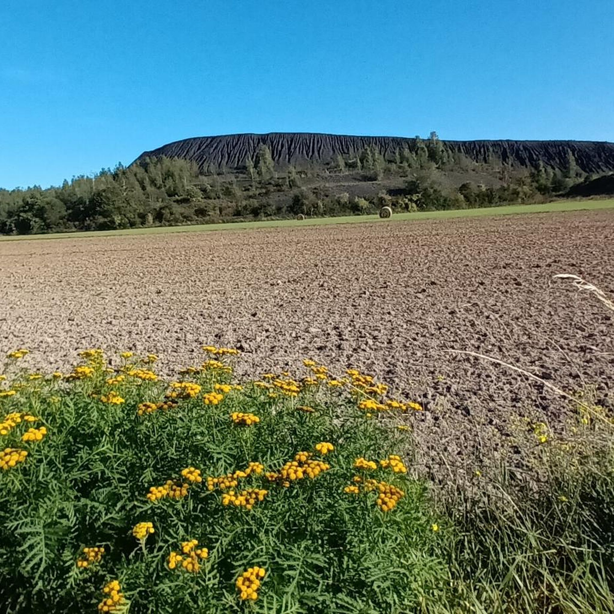
Excellent technical single track above Grenay, with a magnificent view of the mining basin and the twin slag heaps of Loos-en-Gohelle.
0
0

Continue with the climb to the memorial
0
0

The name "Catsberg" refers to a Germanic tribe, the Chatti (in Latin Chatti or Catti), who first appeared in history in the last years before the beginning of our era. In 162 and 170, the Chatti entered the history books once more as aggressors with their invasions of present-day southern Germany and Belgium. After that, the Chatti disappeared as an independent tribe. They probably merged with the Franks at the beginning of the sixth century. Source: Wikipedia
2
0
Frequently Asked Questions
How many road cycling routes are available around Cambrin?
There are over 560 road cycling routes around Cambrin, offering a wide variety of options for different skill levels and preferences. The komoot community has explored these routes over 8,700 times.
What is the typical terrain like for road cycling in Cambrin?
Road cycling routes around Cambrin generally feature flat to gently rolling terrain, with occasional low hills providing modest ascents. The region's network of roads often passes by rivers and historical sites, offering varied rides from longer, flatter options to those incorporating short, steady climbs.
Are there routes suitable for beginners or those looking for an easy ride?
Yes, Cambrin offers a good selection of routes suitable for beginners. There are 144 easy-rated routes. For example, the Steady Climb – Noeux les Mines loop from Cuinchy is an easy 25.1-mile (40.5 km) trail, and the Memorial loop from Cuinchy is another easy option at 20 miles (32 km).
What kind of landmarks or viewpoints can I expect to see along the routes?
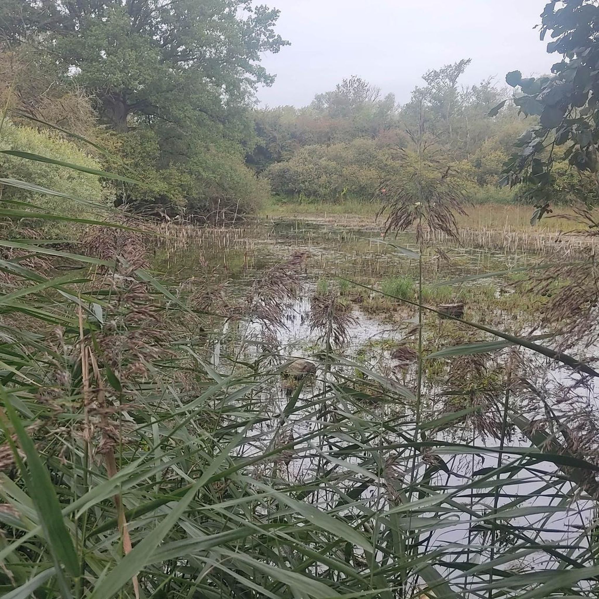
Many routes in Cambrin pass by historical sites and offer scenic views of the open countryside and river valleys. While specific viewpoints are not detailed, you can explore nearby attractions like the Terril 46 of Verquigneul or various lakes such as Marsh Pond, which provide interesting points of interest.
Are there any circular road cycling routes in Cambrin?
Yes, many of the road cycling routes in Cambrin are designed as loops, allowing you to start and finish at the same point. Examples include the challenging Mont des Cats – Mont des Cats Abbey loop from Cuinchy and the moderate Movable bridge – Waterfall of Nave river in Bourecq loop from Cuinchy.
What do other road cyclists enjoy most about cycling in Cambrin?
The road cycling routes in Cambrin are highly rated by the komoot community, with an average score of 4.2 stars from over 270 reviews. Cyclists often praise the varied terrain, from gentle ascents and river valleys to open countryside, and the options available for different ability levels.
Are there any routes that feature water bodies like rivers or lakes?
Yes, several routes in Cambrin incorporate river scenery. For instance, the Movable bridge – Waterfall of Nave river in Bourecq loop from Cuinchy features river views and a unique movable bridge. Additionally, you can find various lakes nearby, such as Etang de Wingles, which can be incorporated into your rides.
What is the best season for road biking in Cambrin?
Given the generally flat to gently rolling terrain, road cycling in Cambrin is enjoyable across multiple seasons. Spring and autumn offer pleasant temperatures and scenic views, while summer provides longer daylight hours. Winter conditions might require more preparation due to potentially colder weather, but many routes remain accessible.
Are there any challenging road cycling routes for experienced riders?
Yes, for experienced riders seeking a challenge, Cambrin offers 37 difficult-rated routes. The Mont des Cats – Mont des Cats Abbey loop from Cuinchy is a notable difficult route, spanning 72.6 miles (116.8 km) with over 539 meters of elevation gain, including a significant climb to Mont des Cats Abbey.
Can I find routes that are suitable for families?
While specific 'family-friendly' designations are not provided, the numerous easy and moderate routes with gentle ascents and flat sections are generally suitable for families. Routes that pass through open countryside or along rivers, away from heavy traffic, would be ideal for a family outing.
Are there options for longer road cycling tours in Cambrin?
Absolutely. Cambrin offers several longer routes for those looking for extended rides. The Mont des Cats – Mont des Cats Abbey loop from Cuinchy at 72.6 miles (116.8 km) and the Movable bridge – Waterfall of Nave river in Bourecq loop from Cuinchy at 69.1 miles (111.2 km) are excellent choices for longer road cycling adventures.
Most popular attractions around Cambrin

Get inspired with the komoot mobile app


Explore more
Browse the best Road cycling routes in other regions.
