The best MTB trails around Heinrichsdorf
4.4
(334)
1,844
riders
129
rides
Mountain biking around Heinrichsdorf offers a diverse landscape characterized by challenging ascents and descents, often leading through dense woodlands. The terrain features significant elevation changes and prominent rock formations, providing varied points of interest for riders. Many routes incorporate historical sites, adding to the exploration opportunities. This region is suitable for mountain bikers seeking demanding trails.
Best mountain bike trails around Heinrichsdorf
- The most popular mountain bike trail is Brotschberg Observation Tower – Haut-Barr Castle loop from Lutzelbourg, a 29.2 miles (47.1 km) trail that takes 4 hours 27 minutes to complete. This difficult route features significant elevation gain and passes by historical landmarks.
- Another top favourite among local mountain bikers is Raspberry Rock – Big rock loop from Lutzelbourg, a difficult 34.9 miles (56.2 km) path. This route leads through areas with prominent rock formations.
- Local mountain bikers also love the Ecluse No. 21 – Raven Rock loop from Arzviller, a 17.2 miles (27.7 km) trail leading through varied natural landscapes, often completed in about 2 hours 12 minutes.
- Mountain biking around Heinrichsdorf is defined by challenging climbs, dense woodlands, and scenic rock formations. The network offers options for different ability levels, from moderate to advanced mountain bike trails.
- The routes in Heinrichsdorf are highly rated by the komoot community with an average score of 4.4 stars from over 230 reviews. More than 1400 mountain bikers have used komoot to explore Heinrichsdorf's varied terrain.
Last updated: October 22, 2026
4.5
(15)
120
riders
47.5km
04:30
940m
940m
Hard mountain bike ride. Very good fitness required. Advanced riding skills necessary. Some portions of the route may require you to push your bike.
4.9
(24)
116
riders
37.4km
02:02
230m
230m
Moderate mountain bike ride. Good fitness required. Suitable for all skill levels.

1.0
(1)
12
riders
56.4km
06:01
1,670m
1,670m
Hard mountain bike ride. Very good fitness required. Advanced riding skills necessary. Some portions of the route may require you to push your bike.
5.0
(4)
22
riders
16.7km
01:01
150m
150m
Easy mountain bike ride. Great for any fitness level. Suitable for all skill levels.
10
riders
114km
10:51
2,330m
2,330m
Hard mountain bike ride. Very good fitness required. Advanced riding skills necessary. Some portions of the route may require you to push your bike.
Get access to more routes and recommendations from other explorers.
Already have an account?
Our route recommendations are based on thousands of hikes, rides, and runs completed by other people on komoot.
Start today with a free account
Your next adventure awaits.

Tips from the Community


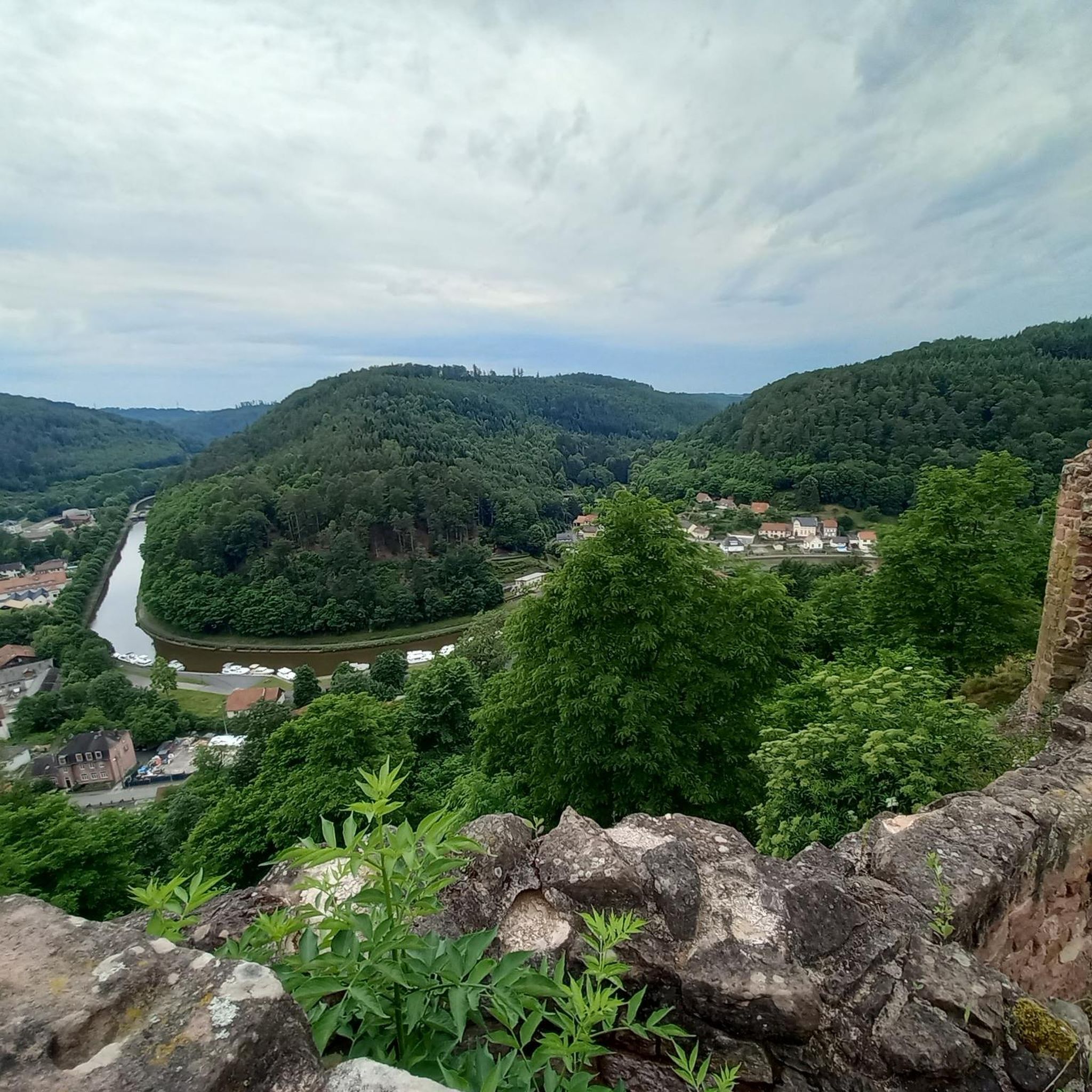
The valley views from the castle are impressive
1
0

historic castle complex that can be visited free of charge
1
0


The tragic story behind this small, sacred monument—which, with its unusual color scheme, is sure to arouse interest and perhaps even entice passing bikers to stop for a moment—has already been described by user 'Jürgen' in his post. "These wayside crosses were erected as visible signs and attract the attention of many people. The cross is a symbol of life. It stands as a sign of our Christian hope and aims to direct our gaze to Jesus Christ, who has conquered death," as Dean Rainald M. Ollig once put it in the foreword to a publication about wayside crosses.
0
0

Elongated rock castle above the Zorn valley, southwest of Saverne. After a varied history, it has been state property for approx. 150 years. Varied structures from different eras in the inner courtyard. Great view over the Rhine valley and the northern Vosges.
3
0

Superb tour... Be careful, some sections are not easy for beginners.
0
0

by bike or on foot for a lovely Sunday outing
0
0
Frequently Asked Questions
How many mountain bike trails are available around Heinrichsdorf?
There are over 120 mountain bike trails around Heinrichsdorf, offering a wide range of options for different skill levels and preferences. The region is known for its challenging ascents, descents, and varied terrain.
Are there mountain bike trails suitable for beginners in Heinrichsdorf?
Yes, Heinrichsdorf offers a selection of easier mountain bike trails. Approximately 27 routes are categorized as easy, providing a good starting point for those new to mountain biking or looking for a less strenuous ride.
What kind of challenges can I expect on advanced mountain bike trails in Heinrichsdorf?
Advanced mountain bike trails in Heinrichsdorf, such as the Francs-Tireurs Cave – Pfannenfels loop from Lutzelbourg, often feature significant elevation changes, technical sections, and longer distances. Riders can expect demanding climbs and descents through dense woodlands and past prominent rock formations. There are 31 difficult routes in the area.
Are there any circular mountain bike routes in Heinrichsdorf?
Many of the mountain bike trails around Heinrichsdorf are designed as loops, allowing you to start and finish at the same point. Examples include the challenging Brotschberg Observation Tower – Haut-Barr Castle loop from Lutzelbourg and the moderate Ecluse No. 21 – Saverne Marina loop from Lutzelbourg.
What interesting landmarks or attractions can I see while mountain biking near Heinrichsdorf?
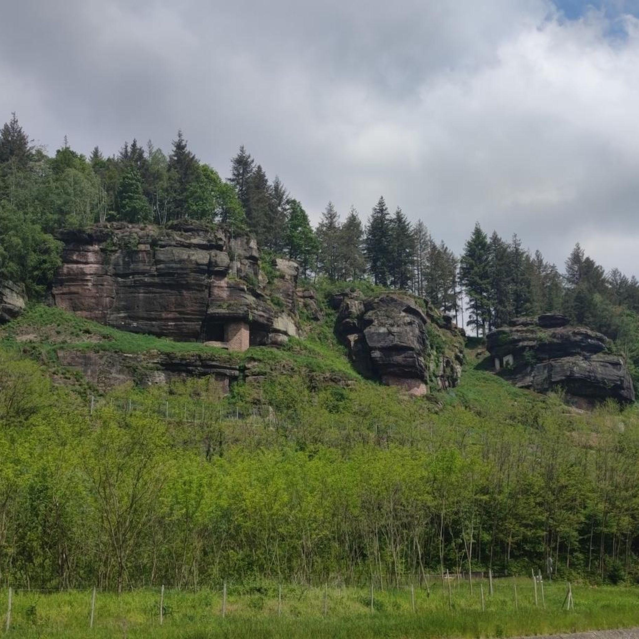
The trails around Heinrichsdorf often pass by historical sites and natural wonders. You can explore impressive castles like Haut-Barr Castle and Lutzelbourg Castle. Some routes also lead to fascinating caves and rock formations, such as the Einsiedlerhütte and Troglodyte Houses of Falkenfelsen or the Falkenfels Cliffs.
What do other mountain bikers say about the trails in Heinrichsdorf?
The mountain bike trails in Heinrichsdorf are highly rated by the komoot community, with an average score of 4.4 stars from over 260 reviews. Riders frequently praise the diverse landscape, challenging terrain, and the scenic beauty of the dense woodlands and rock formations.
Can I find mountain bike trails that are suitable for families in Heinrichsdorf?
While many trails in Heinrichsdorf feature significant elevation changes, there are family-friendly options available. Look for the 27 easy-rated routes, which typically offer less demanding terrain and shorter distances, making them more suitable for a family outing.
What is the typical duration and distance for mountain bike trails in Heinrichsdorf?
Trail distances and durations vary significantly. For example, a moderate route like Ecluse No. 21 – Raven Rock loop from Arzviller covers about 17.2 miles (27.7 km) and takes around 2 hours 12 minutes. More challenging routes, such as the Raspberry Rock – Big rock loop from Lutzelbourg, can extend to 34.9 miles (56.2 km) and require nearly 6 hours to complete.
Are there mountain bike trails accessible by public transport in Heinrichsdorf?
Many trails in the Heinrichsdorf region start from towns like Lutzelbourg or Arzviller, which may have public transport connections. It's advisable to check local bus or train schedules to plan your access to specific trailheads.
Are there any mountain bike trails with cafe stops or places to refuel along the way?
While specific cafe stops are not always listed for every trail, routes that pass through or near villages and towns like Lutzelbourg or Saverne often provide opportunities for refreshments. Planning your route with komoot allows you to identify points of interest, including potential cafes or restaurants.
What is the best time of year for mountain biking in Heinrichsdorf?
The region's dense woodlands and varied terrain are enjoyable throughout the warmer months, typically from spring to autumn. Spring offers lush greenery, while autumn provides vibrant foliage. Always check local weather conditions before heading out, especially after heavy rain, as trails can become muddy.
Are there options for parking at the trailheads in Heinrichsdorf?
Many popular trailheads, especially those starting from towns or well-known attractions, usually offer designated parking areas. For routes beginning in smaller villages or more remote locations, street parking might be available. It's recommended to check the starting point of your chosen route for specific parking information.
Most popular routes around Heinrichsdorf
Most popular attractions around Heinrichsdorf

Get inspired with the komoot mobile app


Explore more
Browse the best MTB trails in other regions.
