The best walks and hikes around Oberlauterbach
4.5
(865)
3,412
hikers
141
hikes
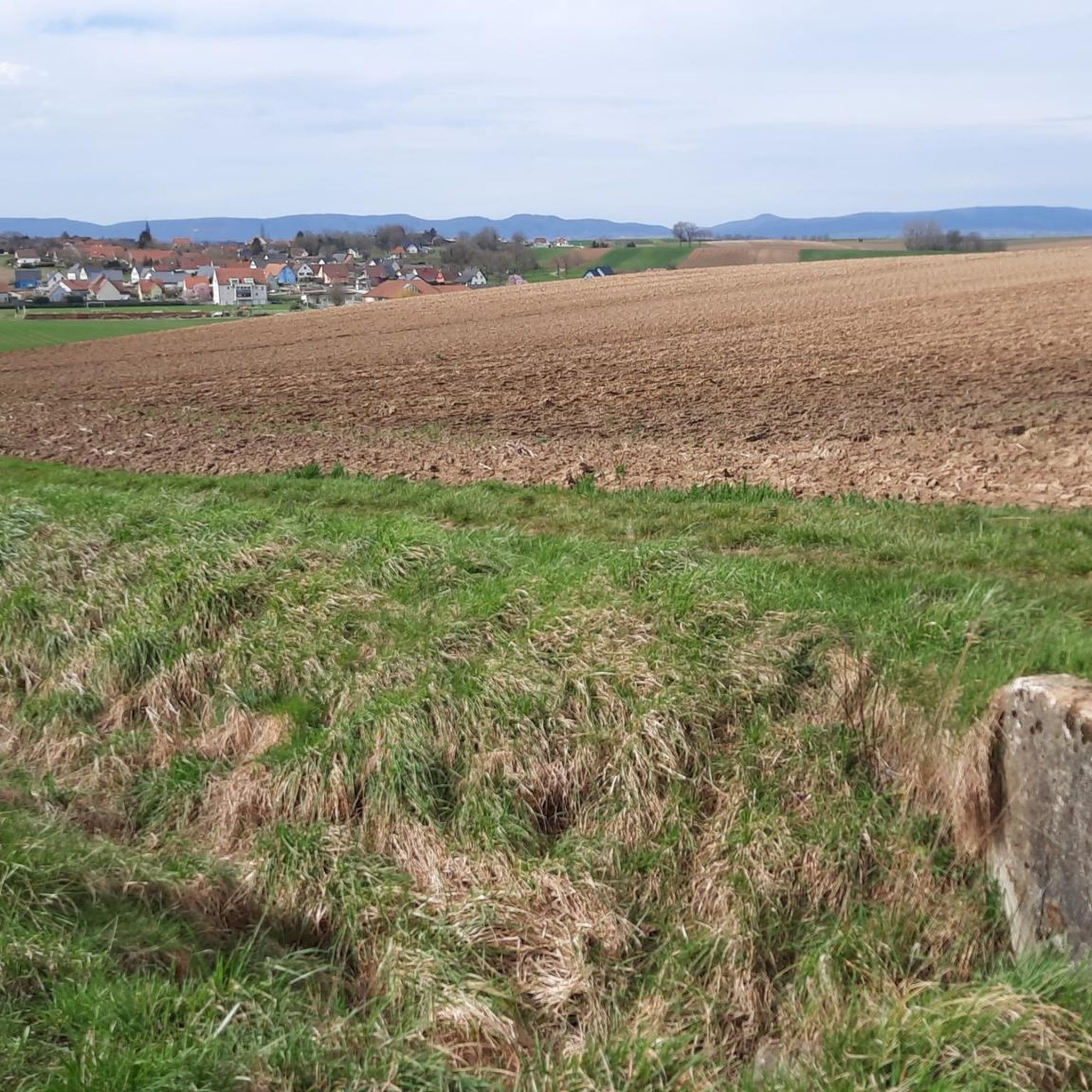
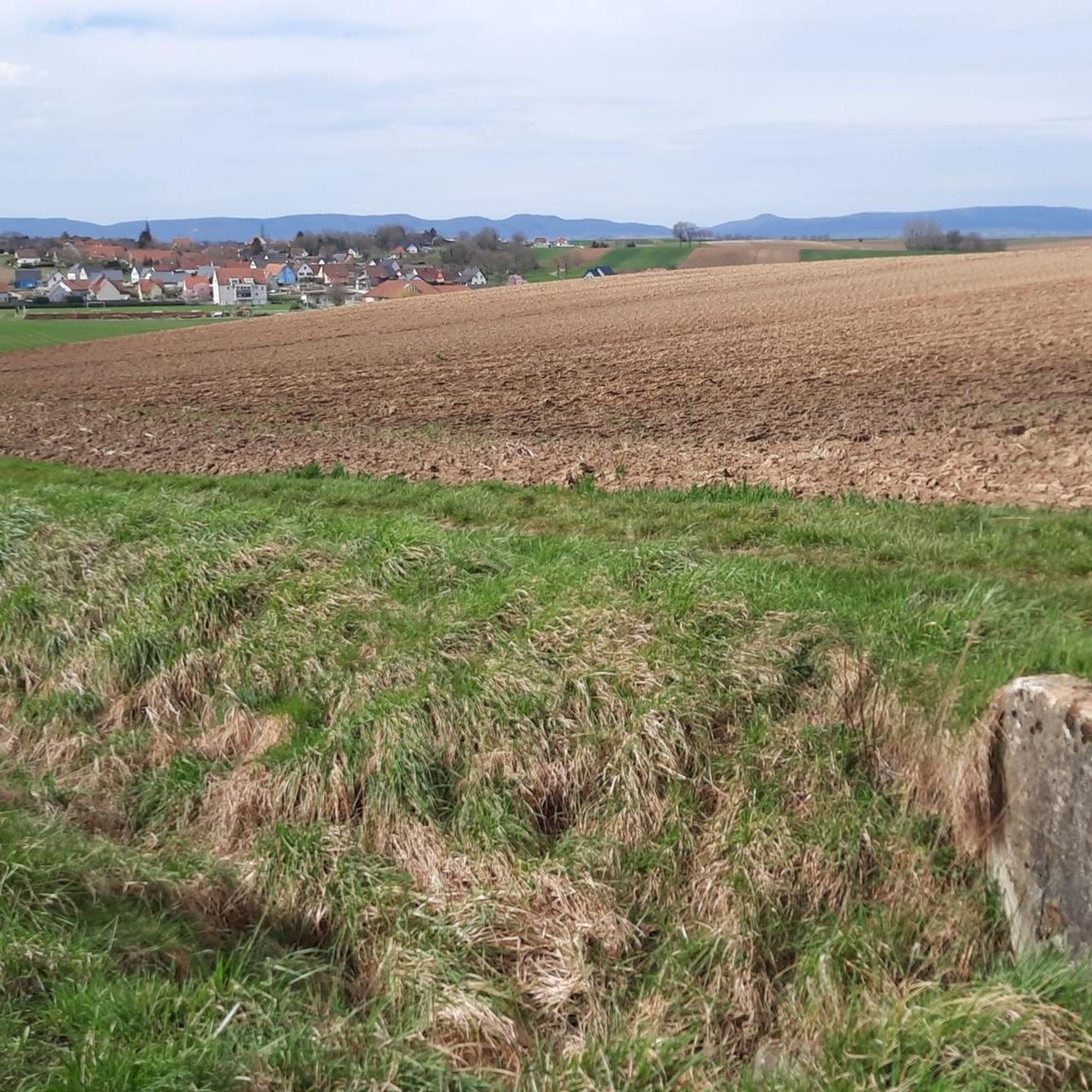
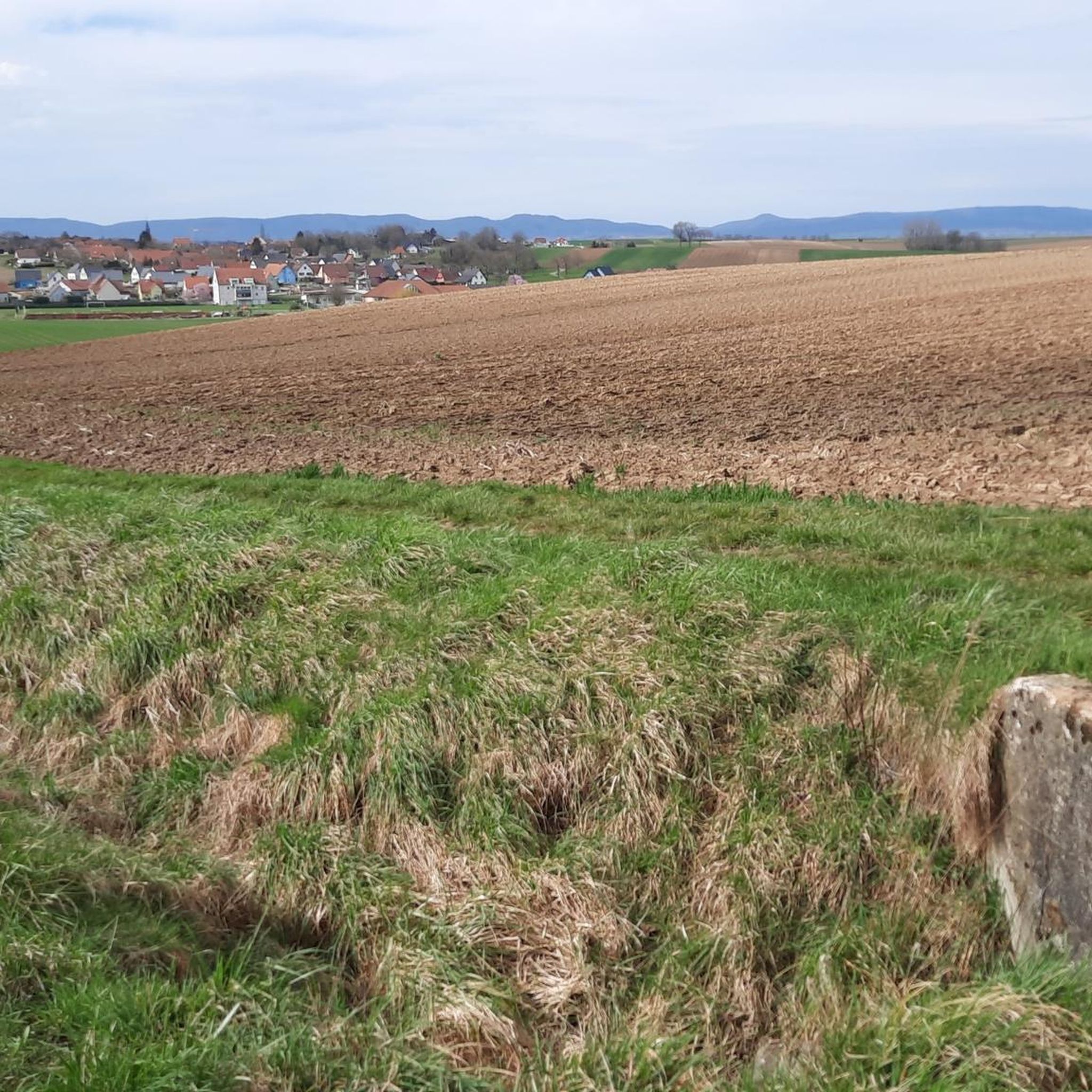
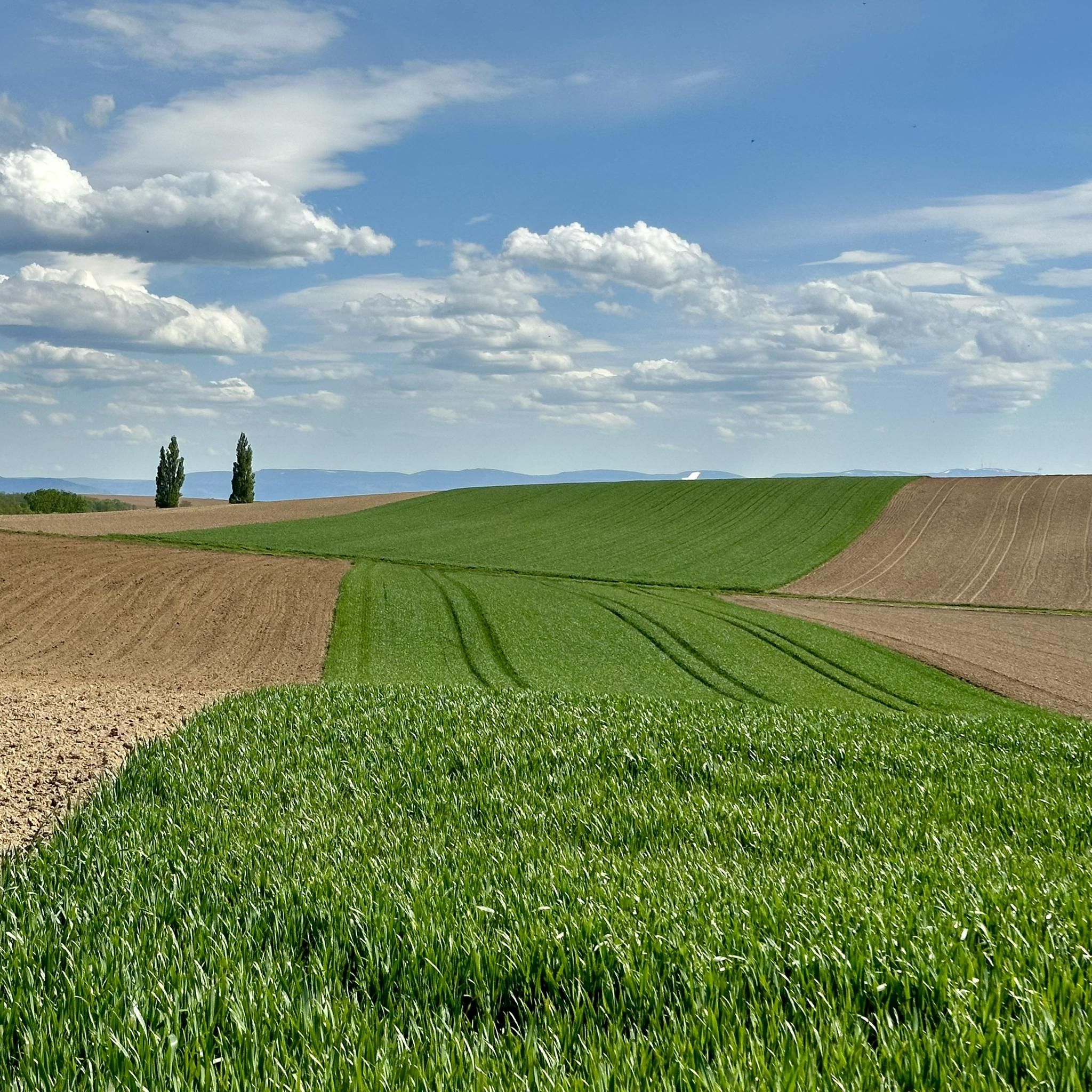
Hiking around Oberlauterbach offers routes through a landscape characterized by gently rolling hills and extensive wooded areas. The region features a mix of agricultural land and natural forests, providing varied scenery for hikers. Elevation changes on the trails are generally moderate, making many routes accessible. The area's terrain supports a network of paths suitable for different hiking preferences.
Best hiking trails around Oberlauterbach
- The most popular hiking route is Boundary stone – Bienwaldmühle loop from Salmbach, a 5.6 miles…
Last updated: June 24, 2026
5.0
(2)
8
hikers
9.03km
02:18
30m
30m
Moderate hike. Good fitness required. Easily-accessible paths. Suitable for all skill levels.
5.0
(1)
4
hikers
9.27km
02:28
100m
90m
Moderate hike. Good fitness required. Easily-accessible paths. Suitable for all skill levels.

Sign up for free
7
hikers
15.2km
04:01
140m
140m
Moderate hike. Good fitness required. Easily-accessible paths. Suitable for all skill levels.
3
hikers
11.1km
02:54
80m
80m
Moderate hike. Good fitness required. Easily-accessible paths. Suitable for all skill levels.
3
hikers
10.0km
02:38
80m
80m
Moderate hike. Good fitness required. Easily-accessible paths. Suitable for all skill levels.
Get access to more routes and recommendations from other explorers.
Sign up for free
Already have an account?
Our route recommendations are based on thousands of hikes, rides, and runs completed by other people on komoot.
Start today with a free account
Your next adventure awaits.
Login or Signup
Tips from the Community

A beautiful place with old buildings
0
0
We bought excellent apple pie there. Lovely little shop and very friendly staff. Full recommendation
1
0

Shortly after the Bienwald Mill on the left side there is a small single trail through the middle of the forest. It is a little overgrown but rideable. It was definitely fun 😊
0
0

a nice rest area. With trash can and crossroads.
3
0

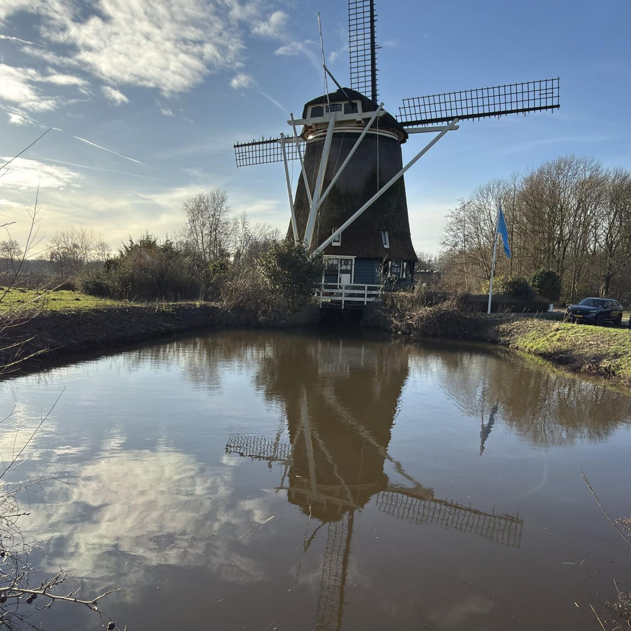
A rest area on the border with a mill and weir with fish ladder on the Lauterlinie. For me it is the outstanding sight here far and wide. Text of the small information board: “The Bienwaldmühle, first mentioned in a document in 1152, was owned by the Bishopric of Speyer for centuries. This mill location, one of the very first in the Palatinate, was assigned to the Weißenburg Monastery. In 1618 the mill became private property. The property consisted of a grain mill, oil mill, sawmill and hemp grater. During the War of the Spanish Succession (1701 - 1714), the Bienwaldmühle was part of the “Lauter Line” established by Marshal de Villars as a fortified base. A late Baroque mansard building was built here in the middle of the 18th century. In 1942 the damaged building was rebuilt in the old style. The first water turbine was installed in 1912. The existing grinding aisles were replaced by roller mills. The last of three original Greek-designed water wheels remained until 1930. The facilities of the grain mill and the hydroelectric power plant have been adapted and modernized to meet technical requirements in recent years. The Wieslauter still powers the rye and wheat mill to this day. Hydropower also generates electricity for the local grid. The Bienwaldmühle has been owned by the Rieger family for generations. Sales of grain and natural food products (west entrance).”
4
0
A cross on one side and a key on the other. This means that it must be a very old boundary stone that marked the lower Mundat Forest! Information about this can be found here, for example: https://de.wikipedia.org/wiki/Mundatwald
4
0

interesting object, here you can also just sit down and relax and listen to the sound of the running water
1
0

Here the bike path goes on the old railway line. On October 1, 1947, the route was closed to passenger traffic, and the section from Scheibenhard to Wissembourg continued to be used for freight traffic (starch and oil) until 1958. The Lauterbourg–Lauterbourg North section was decommissioned on November 12, 1954, followed by the Scheinhard–Lauterbourg North section on December 7, 1965 and the Wissembourg–Disc hard section on October 29, 1970.
2
0
Frequently Asked Questions
How many hiking trails are available around Oberlauterbach?
There are over 140 hiking routes around Oberlauterbach, offering a wide range of options for different preferences and fitness levels. This includes 80 easy routes, 57 moderate routes, and a few more challenging options.
What kind of terrain can I expect on hikes near Oberlauterbach?
The landscape around Oberlauterbach is characterized by gently rolling hills and extensive wooded areas. You'll find a mix of agricultural land and natural forests, providing varied scenery. Elevation changes are generally moderate, making many routes accessible.
Are there easy hiking options for beginners or casual walkers?
Yes, Oberlauterbach offers many easy hiking options. With 80 routes classified as easy, you'll find plenty of paths suitable for beginners or those looking for a relaxed stroll through the gentle terrain and wooded areas.
What do other hikers say about the trails in Oberlauterbach?
The routes in Oberlauterbach are highly rated by the komoot community, with an average score of 4.5 stars from over 700 reviews. More than 3,200 hikers have explored the varied terrain, often praising the well-maintained paths and diverse scenery.
Are there any circular hiking routes around Oberlauterbach?
Yes, many of the trails around Oberlauterbach are designed as loops, allowing you to start and end at the same point. For example, the Boundary stone – Bienwaldmühle loop from Salmbach is a popular choice, and the EBERBACH loop from Oberlauterbach offers a longer circular experience.
Are the hiking trails around Oberlauterbach suitable for families?
Many trails around Oberlauterbach are suitable for families, especially the numerous easy routes that feature gentle elevation changes and pleasant wooded paths. The varied scenery and moderate distances make them enjoyable for all ages.
Can I bring my dog on the trails in Oberlauterbach?
Generally, dogs are welcome on the hiking trails around Oberlauterbach. It's always recommended to keep your dog on a leash, especially in agricultural areas or near wildlife, and to carry waste bags to maintain the cleanliness of the paths.
What natural attractions or landmarks can I see while hiking?
While hiking around Oberlauterbach, you can discover several natural attractions. Highlights include the historic Bismarck Oak (Natural Monument) and the tranquil Hirschbrunnen (Deer Fountain). You might also encounter various lakes and water features like the Saustegweiher or the Mundatweiher.
Are there places to stop for refreshments or a cafe along the trails?
While specific cafes directly on every trail might be limited, many routes pass through or near small villages where you can find local bakeries or eateries. For example, the Minzbrueck Bakery – EBERBACH loop from Trimbach suggests a starting point near a bakery, indicating opportunities for refreshments.
What is the best time of year to go hiking in Oberlauterbach?
The best time to hike in Oberlauterbach is typically from spring to autumn (April to October), when the weather is mild and the natural scenery is at its most vibrant. Spring brings blooming flora, while autumn offers beautiful fall colors in the wooded areas. Winter hiking is also possible, but trails may be muddy or icy.
Is parking available at the trailheads?
Yes, most popular trailheads and starting points in and around Oberlauterbach offer designated parking areas. It's advisable to check specific route details on komoot for information on parking facilities near your chosen starting point.
Are there any less crowded hiking options in the area?
To find less crowded options, consider exploring some of the lesser-known routes or hiking during off-peak hours (weekdays, early mornings). While popular loops like the Niederrödern – EBERBACH loop from Niederrœdern are well-loved, the extensive network of 140 trails means you can often find quieter paths by venturing slightly off the main routes.
Most popular routes around Oberlauterbach
Most popular attractions around Oberlauterbach

Get inspired with the komoot mobile app


Explore more
Browse the best Hikes in other regions.
