The best road cycling routes around Attiswil
4.6
(399)
7,774
riders
295
rides
Road cycling around Attiswil is characterized by the diverse landscapes of Switzerland's Bern canton, offering a mix of challenging climbs and scenic routes. The region is situated within the Emmental, known for its rolling hills and varied terrain, providing demanding elevations for cyclists. Proximity to the Aare River offers flatter sections, while the Weissenstein presents steep gradients for strenuous experiences. The area also features the Jura landscapes of the Regional Nature Park Thal, with undulating hills and rugged cliffs.
Best…
Last updated: July 10, 2026
5.0
(5)
165
riders
83.1km
04:30
1,500m
1,500m
Hard road ride. Very good fitness required. Some segments of this route may be unpaved and difficult to ride.
5.0
(2)
58
riders
72.2km
03:05
380m
380m
Moderate road ride. Good fitness required. Some segments of this route may be unpaved and difficult to ride.

Sign up for free
4.2
(5)
139
riders
Moderate road ride. Good fitness required. Mostly well-paved surfaces and easy to ride.
36
riders
47.6km
01:56
200m
200m
Easy road ride. Great for any fitness level. Mostly well-paved surfaces and easy to ride.
23
riders
50.1km
02:18
390m
390m
Moderate road ride. Good fitness required. Mostly well-paved surfaces and easy to ride.
Get access to more routes and recommendations from other explorers.
Sign up for free
Already have an account?
Our route recommendations are based on thousands of hikes, rides, and runs completed by other people on komoot.
Start today with a free account
Your next adventure awaits.
Login or Signup
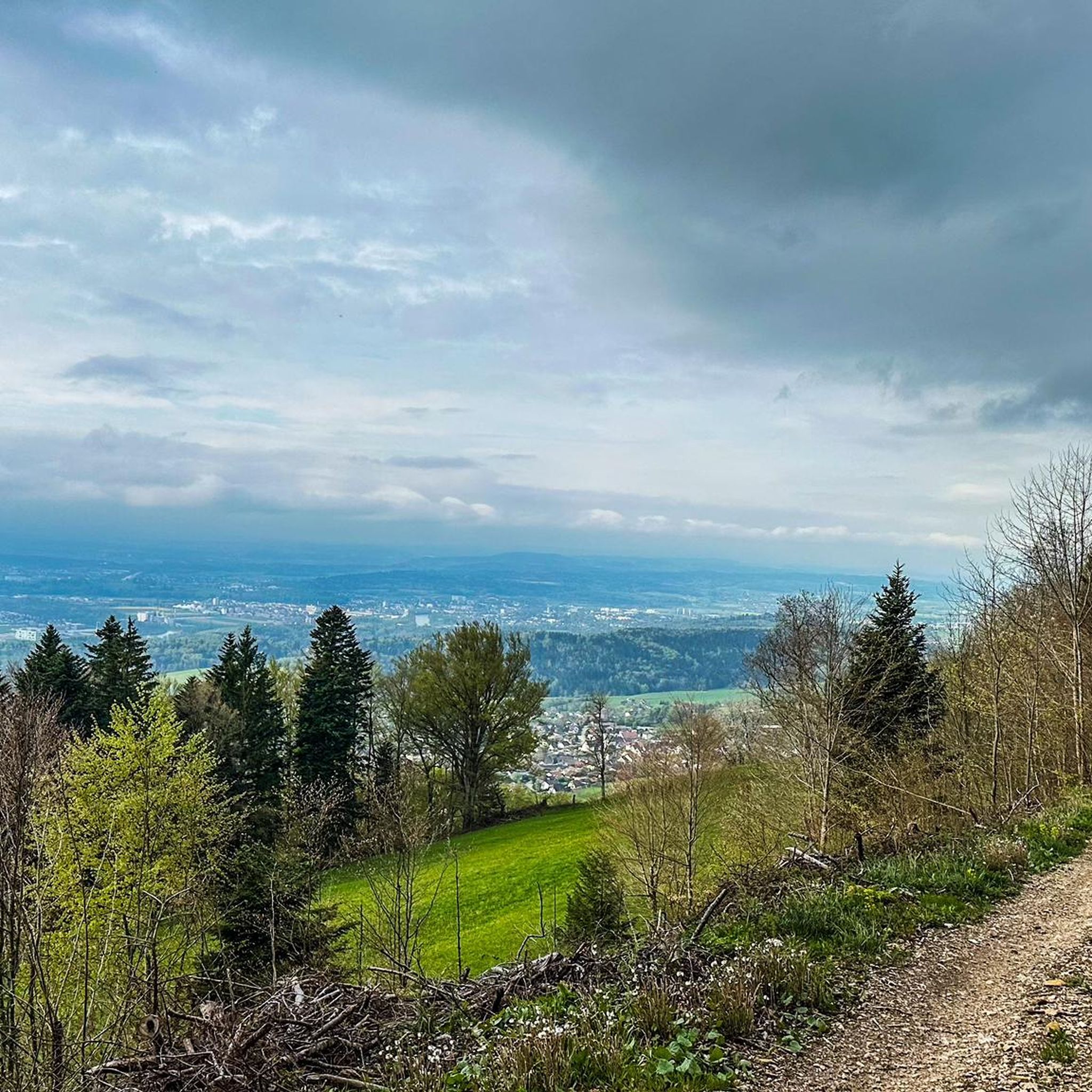

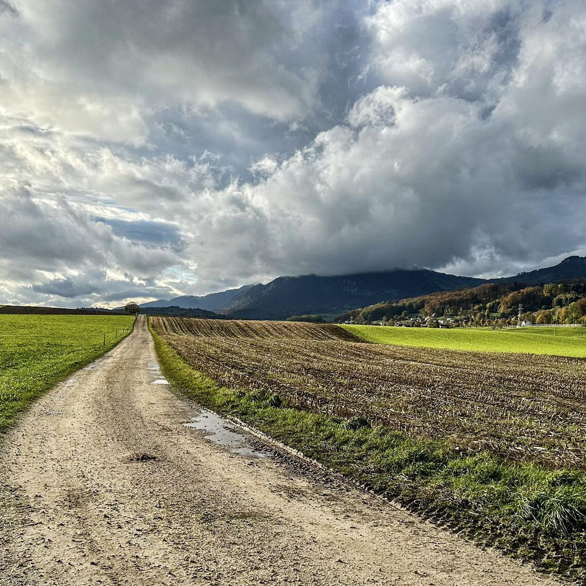
Other adventures around Attiswil

Tips from the Community

pretty here, mega super pretty
0
0

Besides the old wooden bridge, the Salt House is probably the most mentioned building in Wangen an der Aare
0
0

This excellent road with a cycleway on the smoothly asphalted surface between Burgdorf and Niederösch allows for on to be able to reach top speeds with little traffic.
0
0


Sürk cool starting point for Vili Tourene
0
0
The Swiss National Route 84 runs from Zürich to Thun in Upper Bernese city of Thun on the lake bearing its name. This route is for the majority of the time on smooth asphalted surface on roads which have light to no traffic, with the exception of two small stretches of gravel roads. Take this road to avoid all the truck and automobile traffic on the road between Burgdorf and Langenthal.
1
0
This cycleway provides a great alternative to avoid to the heavy rush hour traffic between Burgdorf and Langenthal on the main road, however for road bikes there is a small section where road cyclists have to take the main road to avoid a stretch of gravel road.
0
0

One of four (I think I counted four on my tour) bridges reserved for pedestrians and cyclists.
0
0
Frequently Asked Questions
How many road cycling routes are available around Attiswil?
Attiswil offers a wide selection of road cycling routes, with over 300 options available. These routes cater to various skill levels, including 67 easy, 205 moderate, and 37 difficult trails.
What kind of terrain can I expect when road cycling near Attiswil?
The terrain around Attiswil is highly varied. You'll encounter the distinctive rolling hills and verdant meadows of the Emmental region, providing engaging and often demanding elevations. Closer to the Aare River, you can find flatter, easier sections. For a challenge, the Weissenstein offers steep gradients, and the Regional Nature Park Thal features rugged cliffs and undulating hills.
Are there challenging climbs for experienced road cyclists in the Attiswil area?
Yes, Attiswil is an excellent base for challenging climbs. The Ascent to Grenchenberg – Grenchenberg loop from Wiedlisbach is a difficult route with significant elevation gain. Additionally, the Weissenstein, known as Solothurn's 'home mountain,' features steep gradients up to 22%, and the Bättlerchuchi climb offers a 7.3-kilometer ascent with an average gradient of 8.3% and 11 hairpin turns.
Are there any easier or family-friendly road cycling routes around Attiswil?
For easier rides, particularly those suitable for families, look for routes that follow the Aare River. While Attiswil isn't directly on the flattest stretches, segments of the Aare Route offer more relaxed cycling, often on car-free paths. The region offers 67 easy routes, providing options for less strenuous outings.
What landmarks or scenic viewpoints can I see along road cycling routes near Attiswil?
Road cycling routes around Attiswil offer numerous scenic points. From the summit of the Weissenstein, you can enjoy magnificent panoramic views across the Swiss plateau and towards the Alps. The broader Emmental region features iconic viewpoints such as Lueg, Schonegg, and Lüderenalp. You might also pass by historical sites like Ruins of Neu-Falkenstein Castle or Balmfluh Castle Ruins.
Are there any castles or historical sites accessible by road bike around Attiswil?
Yes, the area around Attiswil is rich in historical sites. You can find several castles and ruins accessible by road bike, such as Ruins of Neu-Falkenstein Castle, Balmfluh Castle Ruins, and Neu-Bechburg Castle. The Aarburg Castle and Church – Wangen an der Aare loop from Deitingen specifically leads past Aarburg Castle.
What do other cyclists say about road cycling in Attiswil?
The road cycling routes around Attiswil are highly regarded by the komoot community, with an impressive average rating of 4.6 stars from over 300 reviews. Cyclists often praise the diverse landscapes, from challenging climbs to scenic river paths, and the well-maintained surfaces that make for an enjoyable experience.
Are there circular road cycling routes available from Attiswil?
Many of the road cycling routes around Attiswil are designed as loops, allowing you to start and end in the same location. Examples include the Ascent to Grenchenberg – Grenchenberg loop from Wiedlisbach, the Countryside Road Near Leuzigen – Dreibeinskreuz Cycle Bridge loop from Deitingen, and the Aarburg Castle and Church – Wangen an der Aare loop from Deitingen.
What is the best time of year for road cycling in Attiswil?
The best time for road cycling in Attiswil is generally from spring through autumn. During these seasons, the weather is most favorable for enjoying the diverse landscapes. Motorized traffic on the Weissenstein Pass road is restricted on Sundays and public holidays, which can enhance the cycling experience during warmer months.
Where can I park my car when starting a road cycling route in Attiswil?
While specific parking locations for each route vary, Attiswil and nearby towns like Deitingen, which serve as common starting points for many routes, typically offer public parking options. It's advisable to check local parking availability for your chosen starting point.
Can I reach road cycling routes in Attiswil using public transport?
Attiswil is located in Switzerland's Bern canton, which has a well-developed public transport network. You can often reach starting points for road cycling routes via train or bus, with many services accommodating bicycles. Check local public transport schedules and bike transport policies for specific routes.
Are there places to stop for food or drinks along the road cycling routes?
Yes, you'll find various options for refreshments along the routes. The region features mountain restaurants like Hofbergli Mountain Restaurant and small pubs such as the Little pub at Niderwiler Stierenberg. Many villages and towns along the routes will also have cafes and restaurants.
Is it possible to rent a road bike in or near Attiswil?
While Attiswil itself might have limited options, larger towns in the surrounding region are likely to offer bike rental services, including road bikes. It's recommended to search for bike rental shops in nearby urban centers if you plan to rent a bike for your trip.
Most popular routes around Attiswil
Most popular attractions around Attiswil

Get inspired with the komoot mobile app


Explore more
Browse the best Road cycling routes in other regions.
