The best MTB trails around Lauterburg
4.6
(337)
1,488
riders
253
rides
Mountain biking around Lauterburg features diverse terrain, characterized by its location near the rivers Lauter and Rhine, and extensive forest areas. The region includes flat alluvial land, the Sauer Delta Nature Reserve with its Rhineland forests and floodplains, and is close to the Forêt du Bienwald. These landscapes offer a variety of natural settings for mountain bike trails.
Best mountain bike trails around Lauterburg
- The most popular mountain bike trail is Redoutenrampen Wooden Bridges – Bienwaldmühle loop from Scheibenhard,…
Last updated: July 4, 2026
4.8
(8)
16
riders
31.0km
01:45
150m
150m
Easy mountain bike ride. Great for any fitness level. Suitable for all skill levels.
4.8
(6)
28
riders
Moderate mountain bike ride. Great for any fitness level. Advanced riding skills necessary.

Sign up for free
5.0
(2)
9
riders
Moderate mountain bike ride. Good fitness required. Suitable for all skill levels.
7
riders
56.8km
03:18
150m
150m
Moderate mountain bike ride. Good fitness required. Suitable for all skill levels.
7
riders
Easy mountain bike ride. Great for any fitness level. Suitable for all skill levels.
Get access to more routes and recommendations from other explorers.
Sign up for free
Already have an account?
Our route recommendations are based on thousands of hikes, rides, and runs completed by other people on komoot.
Start today with a free account
Your next adventure awaits.
Login or Signup
Tips from the Community

The Westwall was a military defense system over 600 km long during World War II. It consisted of several thousand bunkers, tunnels, trenches, minefields, and anti-tank obstacles and stretched along the western border of the then German Reich from Holland to Basel. The Westwall was built between 1936 and 1940 in three defensive lines, likely for propaganda reasons. Its French counterpart, the Maginot Line, was built between 1930 and 1936. In the Palatinate, a 10 km long anti-tank barrier ran from the Palatinate Forest near Oberotterbach through the Weißenburg Saddle to the Bienwald near Steinfeld. The second defensive line led from Göcklingen via Mörzheim, Impflingen, Insheim, in the direction of Herxheim. The anti-tank barrier was built in the form of dragon's teeth lines. Dragon's teeth made of reinforced concrete, placed in several rows and connected by a foundation, were intended to prevent enemy tanks from entering. Today, most of the Westwall has been dismantled, bunkers have been blown up. Relics of the dragon's teeth lines in the Palatinate can still be found near Steinfeld and Niederotterbach, as well as parts of the rear defensive line in Göcklingen and Mörzheim.
2
0

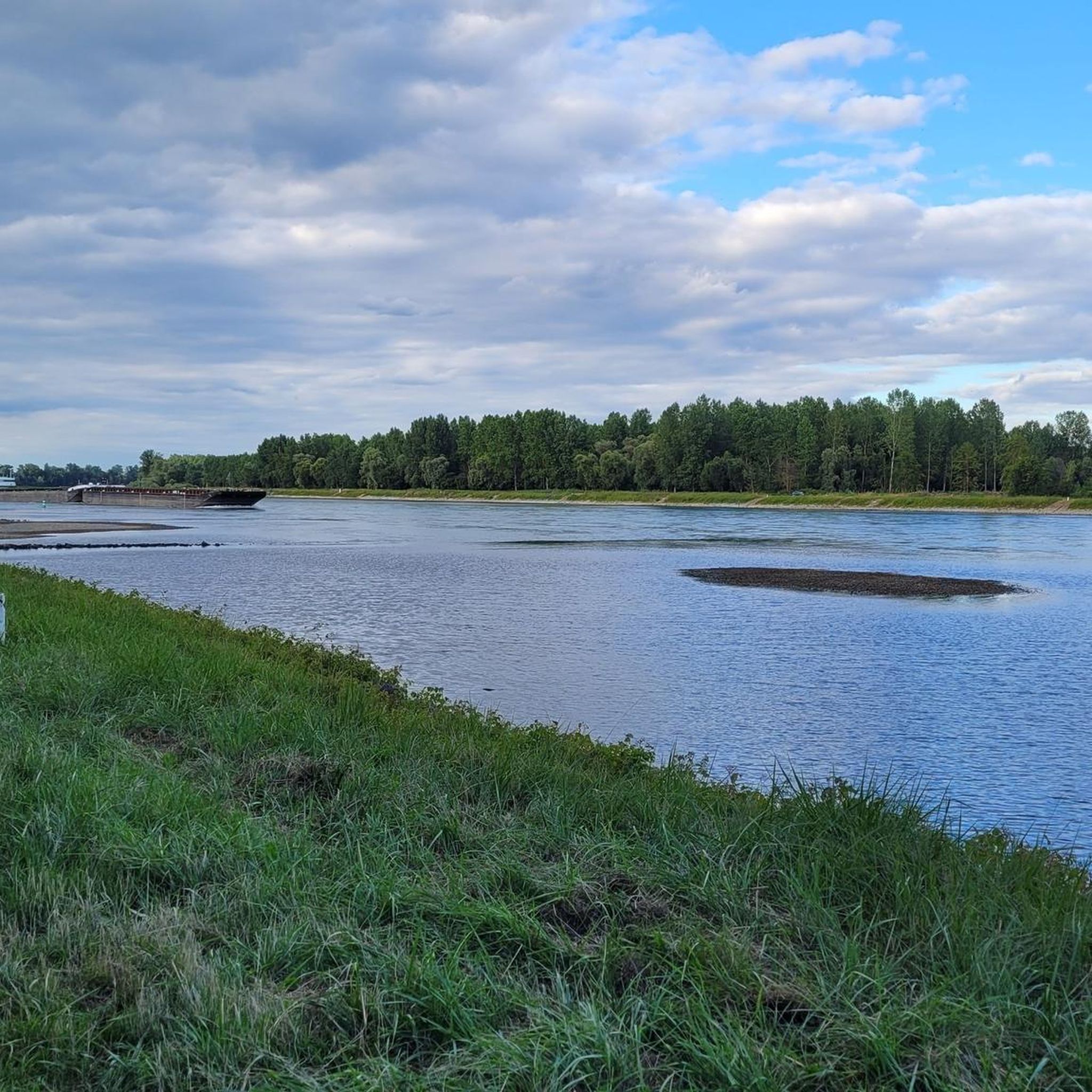
The Sauer is a tributary of the Rhine, approximately 70 km long. It originates in the Palatinate Forest near the Franco-German border. On its course, it flows through the Northern Vosges and partly forms the border between Germany and France. It then crosses Alsace before flowing into the Rhine near Munchhausen. The Sauer has a catchment area of about 800 km² and an average discharge of around 6 m³ per second.
0
0
Willow bushes, marshy areas and reeds - the Sauer Delta nature reserve is an unusual landscape! It was declared a nature reserve by ministerial decree in 1997 and 486 ha were protected. From an ornithological, botanical and landscape perspective, it is a truly exceptional area and one of the last regions in France where the Rhine floodwaters can still spread out.
0
0
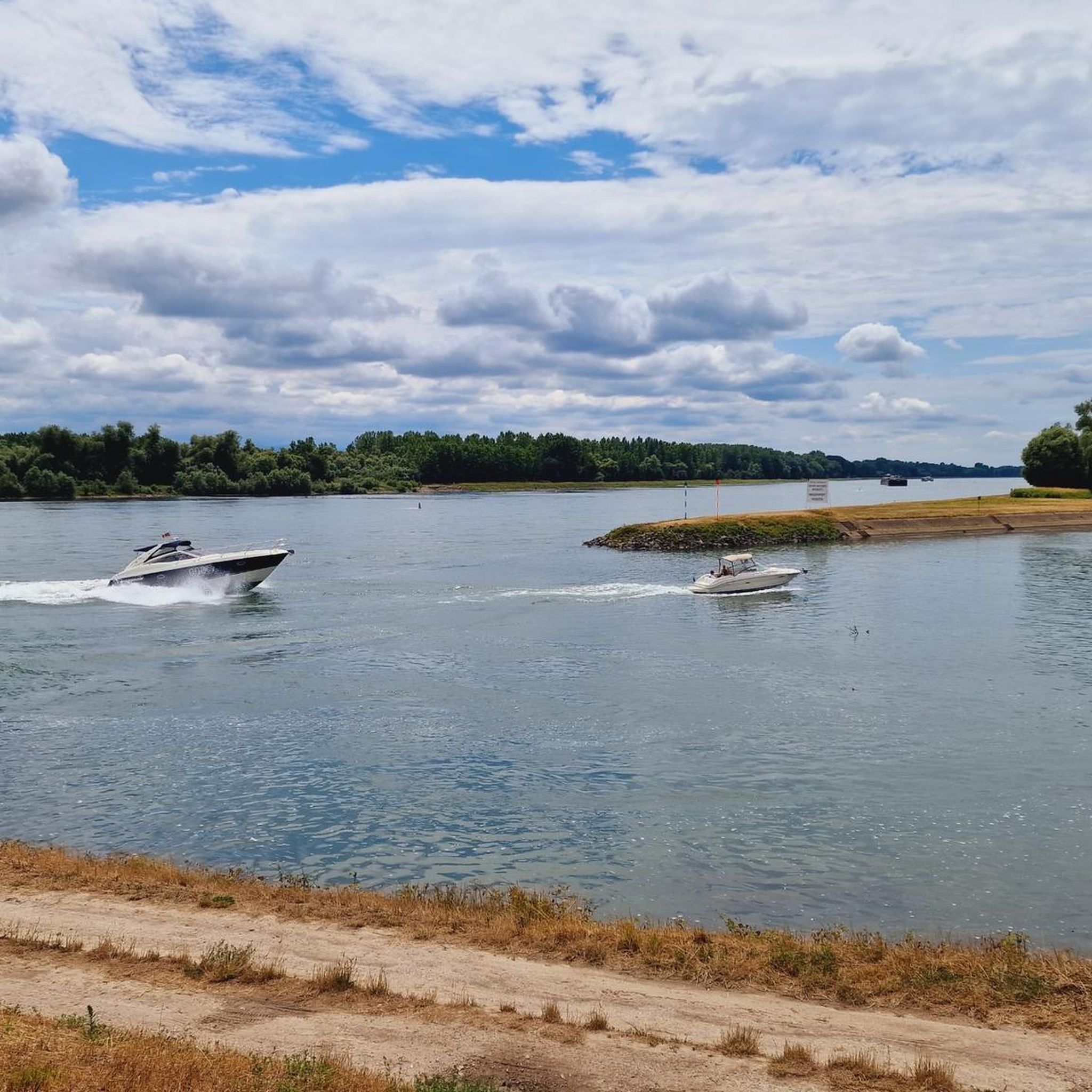
The "Saletio" cable ferry is unique in its kind. A cable system whose principle consists of using the sole force of the current to move. It connects the two banks Seltz (FR) with Plittersdorf (DE). It can transport 70 passengers, 28 bicycles, and 6 vehicles. Motorhomes and caravans are not allowed on the ferry. The ferry is free.
0
0

The majestic church dominates the town of Lauterbourg. Worth seeing are the medieval bell tower, the Gothic choir - which dates from the mid-15th century.
0
0

Large and diverse nature reserve in the Palatinate Rhine floodplains.
8
0

An anti-tank ditch is an artificially constructed, deep and wide obstacle, often filled with water or with steep walls, which served to stop the advance of enemy tanks in the First and especially the Second World War (e.g. Westwall).
0
0

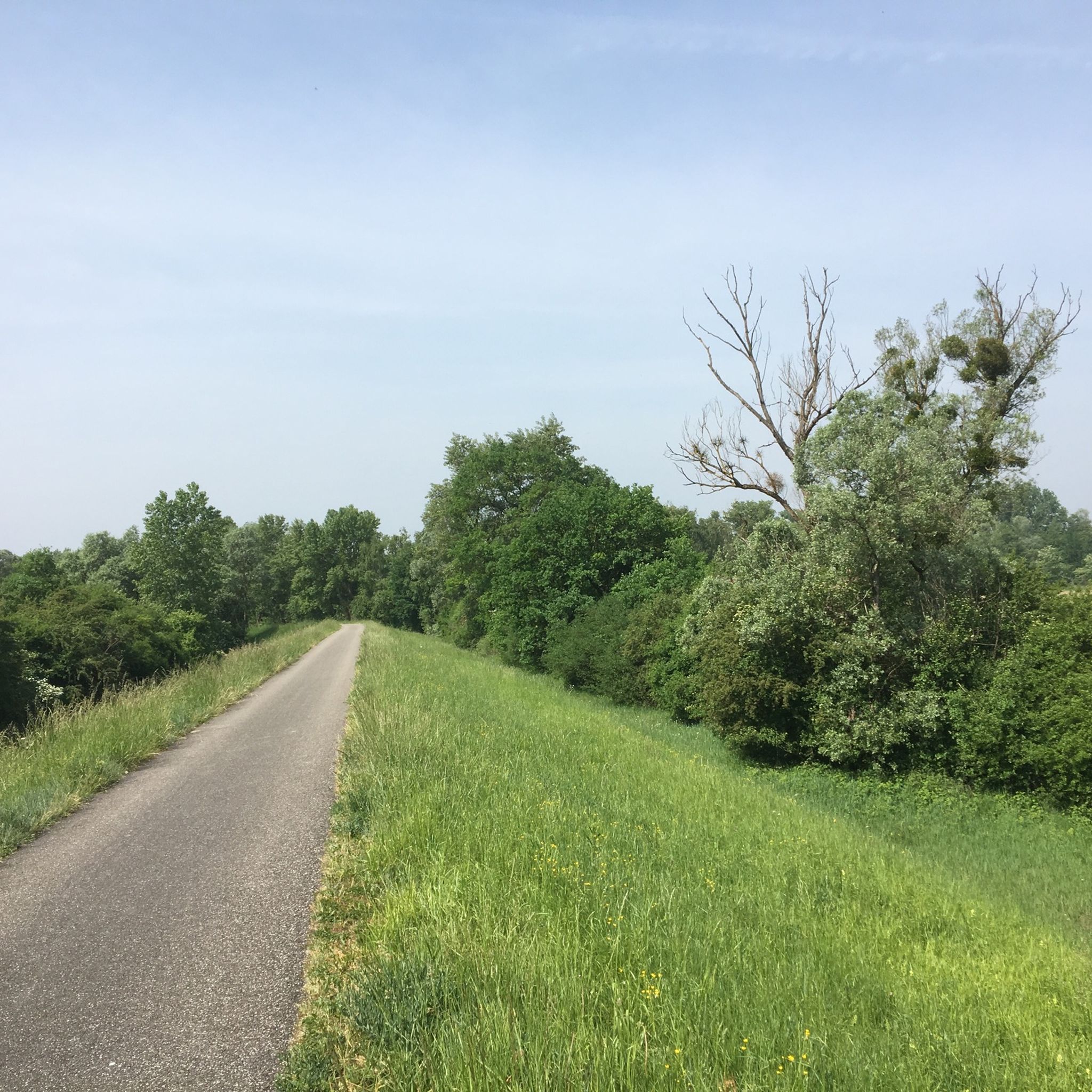
Historically rather so-so - not really interesting as a destination - but it's located on a beautiful stretch of cycle path 👍🏻
1
0
Frequently Asked Questions
How many mountain bike trails are available around Lauterburg?
There are over 240 mountain bike routes around Lauterburg, offering a wide variety of options for different skill levels and preferences. This includes 92 easy, 141 moderate, and 9 difficult trails.
What kind of terrain can I expect on mountain bike trails in Lauterburg?
Mountain biking around Lauterburg features diverse terrain, characterized by its location near the rivers Lauter and Rhine, and extensive forest areas. You'll find flat alluvial land, the protected Sauer Delta Nature Reserve with its Rhineland forests and floodplains, and trails close to the Forêt du Bienwald. The region offers a mix of riverside paths, dense Rhine forests, and some routes with ascents, such as the Eichelberg Summit – Eichelberg Trail loop from Elchesheim-Illingen.
Are there any family-friendly mountain bike trails in Lauterburg?
Yes, Lauterburg offers a good selection of easy mountain bike trails suitable for families. With 92 easy routes, you can find paths that are less challenging and often follow flatter terrain, such as those along the rivers or through less dense forest areas. The Sauer Delta Nature Reserve – Rhine Ferry Alsace loop from Lauterbourg is an easy 31 km trail that takes about 1 hour 45 minutes to complete, offering a pleasant ride through nature.
What do other mountain bikers say about the trails in Lauterburg?
The mountain bike trails around Lauterburg are highly rated by the komoot community, with an average score of 4.6 stars from over 350 reviews. More than 1700 mountain bikers have used komoot to explore the varied terrain, often praising the scenic riverside paths, the tranquility of the Rhine forests, and the diverse options available for different skill levels.
Are there any circular mountain bike routes in the Lauterburg area?
Yes, many of the mountain bike routes in Lauterburg are designed as loops, allowing you to start and finish at the same point. Examples include the moderate Redoutenrampen Wooden Bridges – Bienwaldmühle loop from Scheibenhard, which navigates through forested areas, and the Sauer Delta Nature Reserve – Rhine Ferry Alsace loop from Lauterbourg.
Can I find places to eat or rest along the mountain bike trails?
Yes, the region has several huts and places where you might find refreshments or a place to rest. For example, the Wirtshaus No Name – Naturfreundehaus Kandel loop from Lauterbourg passes by the Naturfreundehaus Kandel. Other huts in the area include Steigert Hut and Jakobshäusche.
What natural attractions can I see while mountain biking near Lauterburg?
The Lauterburg area is rich in natural beauty. You can explore the Sauer Delta Nature Reserve, known for its Rhineland forests and floodplains. The region also features several small lakes connected to the Rhine, such as Fermasee South Shore, Epple Lake, and Ferma Lake. The Altrhein Maxau Nature Reserve is another notable natural monument.
Are there any scenic viewpoints or landmarks along the mountain bike routes?
While mountain biking, you can enjoy scenic views, especially along the Rhine and in forested areas. Some routes, like the View of the Vosges loop from Berg (Pfalz), offer glimpses of the Northern Vosges Mountains in the distance. You might also encounter an Observation Deck at Fermasee, providing picturesque lake views.
Is it possible to combine mountain biking with other activities in Lauterburg?
Absolutely! Lauterburg is known for a variety of outdoor activities. After a ride, you could enjoy water sports at the local water sports center, which offers options like catamarans, windsurfing, and canoeing. Fishing is also popular in the local rivers and ponds. For more information on activities, you can visit the local tourism website: tourisme-pays-seltz-lauterbourg.fr.
What is the best time of year for mountain biking in Lauterburg?
The region's climate generally allows for mountain biking through much of the year. Spring and autumn offer pleasant temperatures and beautiful scenery, especially with the changing colors of the extensive Rhine forests. Summer is also suitable, though it can be warmer, making routes near the rivers or through dense forests particularly appealing. Winter mountain biking is possible, but trail conditions may vary with weather, so checking local conditions is advisable.
Are there any unique experiences for cyclists in the Lauterburg area?
Yes, a unique experience for cyclists is the Seltz-Plittersdorf cable ferry, which crosses the Rhine using only the river's current and can transport bicycles. This offers a distinctive way to experience the river and potentially connect to trails on the German side.
Most popular routes around Lauterburg
Most popular attractions around Lauterburg

Get inspired with the komoot mobile app


Explore more
Browse the best MTB trails in other regions.
