The best walks and hikes around Neuhäusel
4.5
(1710)
8,294
hikers
452
hikes
Hiking around Neuhäusel, nestled in the Westerwald district, offers diverse landscapes characterized by green meadows, rolling hills, and clear streams. The region provides a picturesque setting for outdoor activities, with trails winding through natural beauty and past historical sites. Hikers can explore the scenic Wiedtal Valley or enjoy circular trails around the Silbersee Lake. The area's terrain includes varied elevations suitable for different fitness levels.
Best hiking trails around Neuhäusel
- The most popular hiking route is View of the Rhine…
Last updated: June 25, 2026
4.9
(10)
52
hikers
6.43km
01:38
10m
10m
Easy hike. Great for any fitness level. Easily-accessible paths. Suitable for all skill levels.
4.9
(7)
19
hikers
12.4km
03:08
20m
20m
Moderate hike. Good fitness required. Easily-accessible paths. Suitable for all skill levels.

Sign up for free
5.0
(4)
19
hikers
13.0km
03:17
20m
20m
Moderate hike. Good fitness required. Easily-accessible paths. Suitable for all skill levels.
4.4
(5)
44
hikers
Moderate hike. Good fitness required. Easily-accessible paths. Suitable for all skill levels.
3.0
(2)
10
hikers
Easy hike. Great for any fitness level. Easily-accessible paths. Suitable for all skill levels.
Get access to more routes and recommendations from other explorers.
Sign up for free
Already have an account?
Our route recommendations are based on thousands of hikes, rides, and runs completed by other people on komoot.
Start today with a free account
Your next adventure awaits.
Login or Signup

Tips from the Community

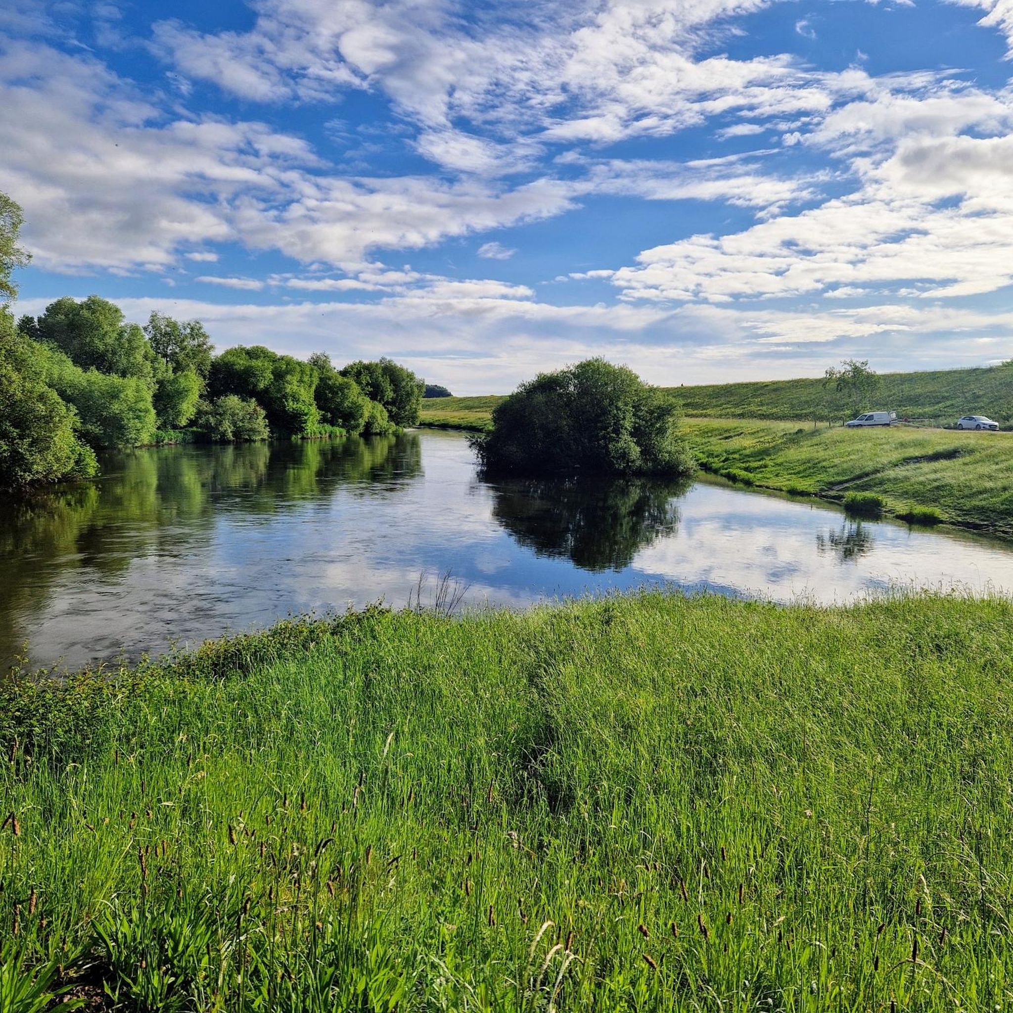
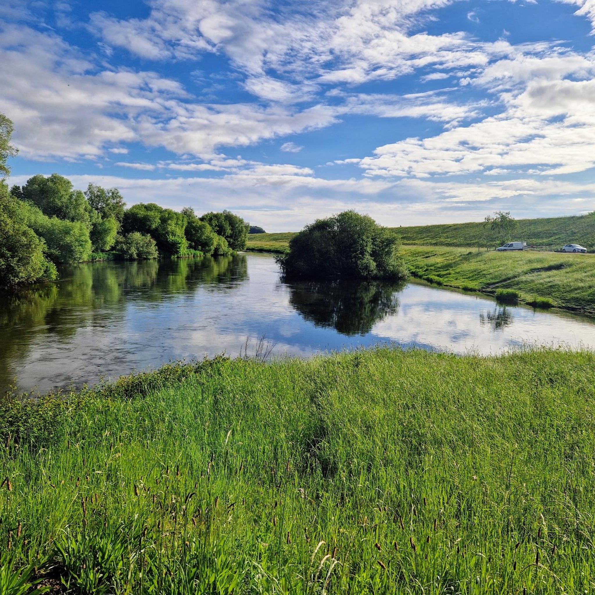
Especially in spring when everything is green a particularly beautiful section
1
0

If you look from the German side of the Rhine towards France, you can see the Vosges in the distance
1
0

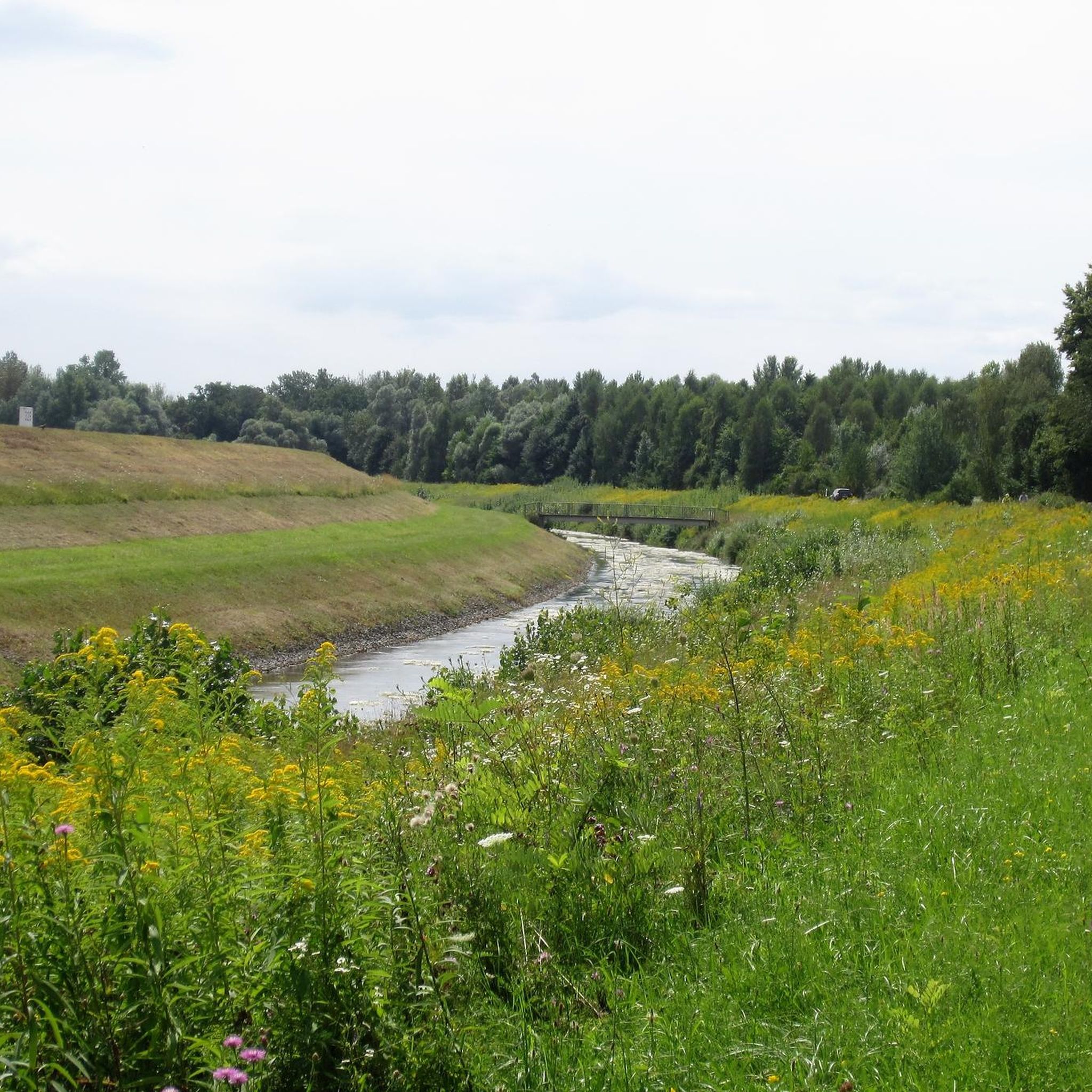
On this misty autumn morning, this area had a mystical feel.
1
0
Watching ships passing through locks is always interesting
0
0

From the bridge you can watch the lock operation. It is always fascinating to see how the heights are bridged.
0
0
Information trail with educational panels.
1
0

The Iffezheim barrage is a barrage on the Upper Rhine that increases the navigability of the river and at the same time serves to generate electrical energy.
1
2

The lock at Iffezheim...interesting
1
2
Frequently Asked Questions
How many hiking trails are available around Neuhäusel?
There are over 440 hiking routes around Neuhäusel, catering to various skill levels and preferences. You'll find a wide range of options, from easy strolls to more challenging paths through the Westerwald landscape.
What is the best time of year to go hiking in Neuhäusel?
The best seasons for hiking in Neuhäusel are spring and autumn. Spring offers vibrant natural beauty as everything blooms, while autumn provides a spectacular display of colorful foliage and mild temperatures, making for very pleasant hiking conditions.
Are there any family-friendly hiking trails in Neuhäusel?
Yes, Neuhäusel offers several family-friendly options. The circular trail around the Silbersee Lake is highly recommended for families, providing a beautiful setting with sparkling water and surrounding meadows. It's a great spot for recreational activities like boat trips or fishing after your hike.
Can I bring my dog on the hiking trails around Neuhäusel?
Many trails in the Neuhäusel area are dog-friendly, allowing you to enjoy the natural beauty with your canine companion. It's always a good idea to keep your dog on a leash, especially in nature reserves or near livestock, and to carry waste bags to maintain the cleanliness of the trails.
Are there any circular hiking routes in the region?
Yes, circular routes are a popular feature of hiking in Neuhäusel. For example, the Wäller Tour Augst is a scenic circular route that allows you to experience the diverse landscape and historical sites like the Sporkenburg castle ruins. The trail around the Silbersee Lake is also a pleasant circular option.
What kind of terrain can I expect on hikes in Neuhäusel?
The terrain around Neuhäusel is diverse, characterized by green meadows, rolling hills, and clear streams. You can expect varied elevations, from gentle paths along valleys like the Wiedtal to more undulating routes through the Westerwald, suitable for different fitness levels.
What historical sites or landmarks can I see while hiking?
Hiking in Neuhäusel can lead you to several historical sites. You might encounter the impressive ruins of Sporkenburg Castle near Eitelborn, which are part of the Wäller Tour Augst. While not directly on a hiking trail, the Forstarboretum Neuhäusel is also a notable natural attraction featuring over 100 trees from around the world.
Are there any viewpoints or scenic spots on the trails?
The Westerwald region, where Neuhäusel is located, is known for its great views and wide landscapes. Routes like the Wäller Tour Augst offer expansive vistas. The path to Montabaur Castle also provides breathtaking panoramic views of the surrounding area.
How difficult are the hiking trails in Neuhäusel?
Hiking trails in Neuhäusel range from easy to moderate, with a few more challenging options. Over 300 routes are considered easy, while more than 130 are moderate. This variety ensures there's a suitable path for almost every hiker, from beginners to those seeking a bit more challenge.
What do other hikers enjoy most about the trails in Neuhäusel?
The hiking experience in Neuhäusel is highly rated by the komoot community, with an average score of 4.5 stars from over 1500 reviews. Hikers often praise the diverse landscapes, the well-marked paths, and the combination of natural beauty with historical sites like the Sporkenburg castle ruins.
Are there any easy routes for beginners or short walks?
Yes, there are many easy routes perfect for beginners or those looking for a shorter walk. For instance, the View of the Rhine loop from Landkreis Rastatt is an easy 4.0-mile trail that takes less than two hours to complete, offering pleasant views.
Where can I find parking for hiking trails in Neuhäusel?
Parking options are generally available near popular trailheads and attractions in and around Neuhäusel. Specific parking information can often be found on local tourism websites or detailed route descriptions for individual trails.
Are there any cafes or places to eat near the hiking trails?
While specific cafes directly on every trail are not guaranteed, Neuhäusel and its surrounding villages offer various dining options. You'll find places to eat and drink in the town centers, often a short distance from the main hiking areas, perfect for a refreshment after your walk.
Most popular routes around Neuhäusel
Most popular attractions around Neuhäusel

Get inspired with the komoot mobile app


Explore more
Browse the best Hikes in other regions.
