The best walks and hikes around Stattmatten
4.5
(1305)
5,806
hikers
438
hikes
Hiking around Stattmatten offers access to a network of trails characterized by flat terrain and proximity to waterways. The region features routes along the Rhine and Moder rivers, often passing by small lakes and through open landscapes. Elevation changes are minimal, making the area suitable for accessible walks.
Best hiking trails around Stattmatten
- The most popular hiking route is View of the Rhine – Lake Krieger loop from Fort-Louis, an easy 4.0 miles (6.4 km) trail that takes 1…
Last updated: October 9, 2026
4.5
(31)
91
hikers
6.12km
01:33
10m
10m
Easy hike. Great for any fitness level. Easily-accessible paths. Suitable for all skill levels.
5.0
(1)
14
hikers
16.5km
04:09
20m
20m
Moderate hike. Good fitness required. Easily-accessible paths. Suitable for all skill levels.

2.0
(1)
7
hikers
11.1km
02:48
20m
20m
Moderate hike. Good fitness required. Easily-accessible paths. Suitable for all skill levels.
4.4
(7)
54
hikers
5.97km
01:30
10m
10m
Easy hike. Great for any fitness level. Easily-accessible paths. Suitable for all skill levels.
5.0
(1)
10
hikers
8.07km
02:02
10m
10m
Moderate hike. Good fitness required. Easily-accessible paths. Suitable for all skill levels.
Get access to more routes and recommendations from other explorers.
Already have an account?
Our route recommendations are based on thousands of hikes, rides, and runs completed by other people on komoot.
Start today with a free account
Your next adventure awaits.
Tips from the Community

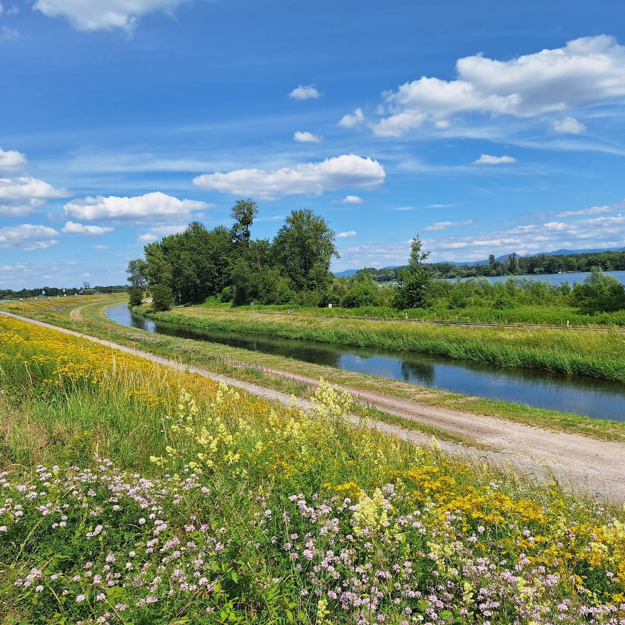
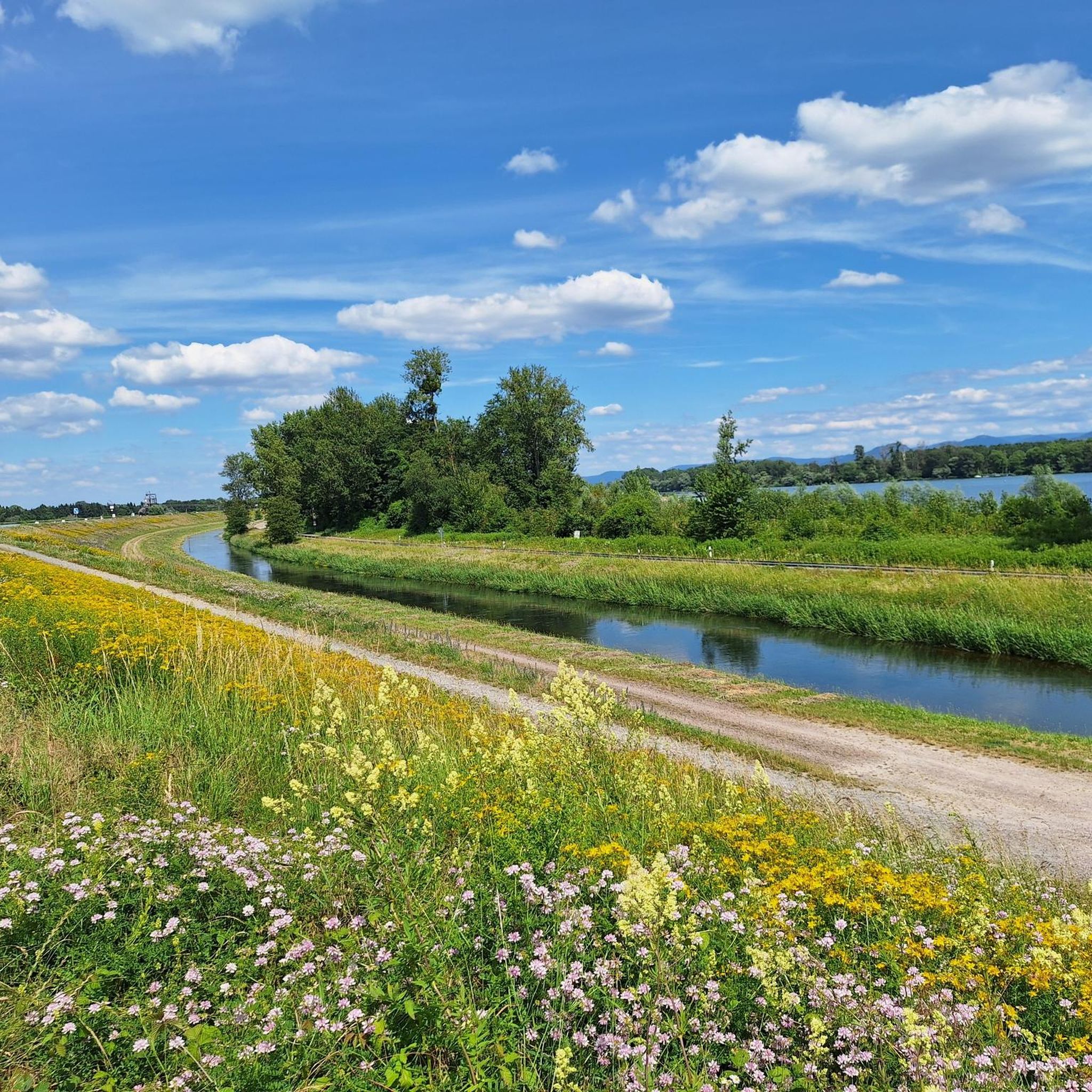
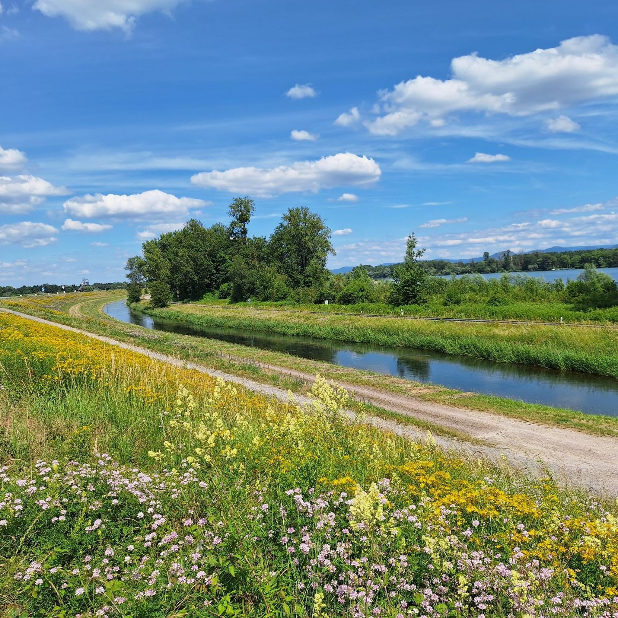
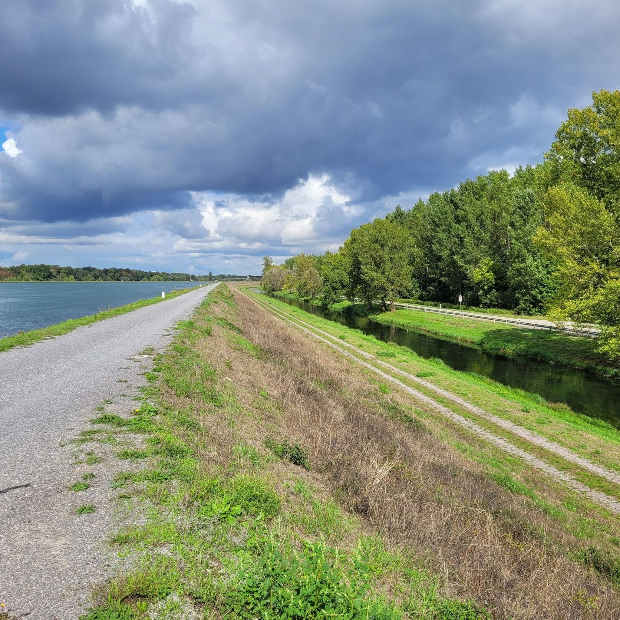
Nature, water, tranquility, hiking on flat paths
0
0

If you look from the German side of the Rhine towards France, you can see the Vosges in the distance
1
0

Information trail with educational panels.
1
0
Beautifully situated lake, on whose shores you can simply relax and unwind
1
0

After recultivation, the Ameisensee has been used as a fishing lake since the early 1980s. The lake was created in silted-up old branches of the Rhine, which had been used for gravel extraction since the 1960s - especially during the construction of the Iffezheim Rhine dam in the 1970s. The Ameisensee is located in the Söllingen/Greffern polder - partial polder 4 between the Rhine side dam and flood embankments - as a retention area in the event of extreme flooding on the Rhine and its tributaries. In the west, a culvert and structure connects the lake with the Kriegersee and in the east the water flows through a canal into the Rhine lowland canal. We regularly pass by the Ameisensee on walks. The best view of the lake is on the east bank at the culvert to the Rhine lowland canal. It is not possible to walk around the Ameisensee in the shore area. https://www.asv-soellingen.de/vereinsgew%C3%A4sser/ameisensee/
2
0

Main fort of Fort-Louis, former fortress In 1686, King Louis XIV of France ordered the construction of a fortress in Lower Alsace, directly on the border with the Margraviate of Baden. It was built over a period of ten years from 1687 on an island in the Rhine, which was not yet regulated at the time, according to plans by Sébastien Le Prestre de Vauban and the fortress engineer Jacques Tarade. The medieval palace in Haguenau, around twenty kilometers away, was razed to the ground and the usable stones were used to build the new fortress on the Rhine. Two outlying forts were built as bridgeheads on the opposite banks of the Rhine, Fort Alsace on the Alsatian side and Fort Marquisat on the Baden bank. To the south of the main fort, called Fort Carré, the regular street grid of the municipality of Fort-Louis was created on the island, and the king promoted its settlement with privileges. Fort Marquisat had to be abandoned after the Peace of Rijswijk in 1697, and finally after the Peace of Rastatt in 1714. The main fortress was stormed in 1793 in the First Coalition War and further destroyed in 1815-18. Since the Rhine was straightened in the 19th century, the fort and the municipality have been located on the left bank of the Rhine. Remains of the fortress are still there today, with information boards in front of and on the site of the former fortification.
1
0
A few hundred meters in front of the NATO ramp is the Myriameterstein XVI. These historical survey marks were set every 10 km along the Rhine between Basel and Rotterdam after 1867 and were used for shipping on the Rhine. After 1890 they were no longer used for their original purpose. https://de.wikipedia.org/wiki/Myriameterstein
0
0
Here na the Nato ramp you can park well to take a nice walk along the Rhine
1
0
Frequently Asked Questions
How many hiking trails are available around Stattmatten?
There are over 400 hiking routes around Stattmatten, offering a wide range of options for different preferences. The majority, around 300, are classified as easy, making the area very accessible.
Are there easy hikes suitable for beginners in Stattmatten?
Yes, Stattmatten is particularly well-suited for beginners due to its predominantly flat terrain and minimal elevation changes. Routes often follow river paths and pass by lakes, providing pleasant and manageable walks. An example is the Goethe Memorial loop from Sessenheim, which is an easy 3.7 km trail.
What kind of terrain can I expect on hikes around Stattmatten?
The terrain around Stattmatten is characterized by flat landscapes, often following the Rhine and Moder rivers. You'll find routes passing through open areas and alongside small lakes, with very little elevation gain, making for generally easy and comfortable walking.
Are there any circular walks available in Stattmatten?
Yes, many routes in Stattmatten are designed as circular walks. For instance, the popular View of the Rhine – Lake Krieger loop from Fort-Louis is an easy 6.4 km circular trail. Another option is the Benches loop from Sessenheim, an easy 7.9 km route.
What are some interesting natural sights or landmarks to see along the trails?
The region offers several points of interest, particularly along its waterways. You can find highlights like the Swan Gathering at the Rhine Dam or visit lakes such as Baggersee Adam and Erländer Lake. The Ameisensee – View of the Rhine loop from Fort-Louis specifically passes near the Ameisensee and offers Rhine views.
Are there any long-distance hiking options near Stattmatten?
While Stattmatten is known for its generally shorter, accessible routes, you can combine several trails to create longer excursions along the river systems. The Dalhunden Town Hall – Metal Bridge over the Moder loop from Sessenheim is one of the longer options at 11.6 km, following the Moder river.
What do other hikers enjoy most about hiking in Stattmatten?
The area is highly rated by the komoot community, with an average score of 4.5 stars from over 1100 reviews. Hikers often praise the flat, accessible terrain, the scenic river and lake views, and the well-maintained paths that are suitable for various activity levels.
Are the hiking trails in Stattmatten suitable for families with children?
Yes, the predominantly flat and easy trails around Stattmatten are very suitable for families. The minimal elevation changes and scenic routes along rivers and lakes provide a pleasant outdoor experience for all ages. Many routes are short enough for younger children.
Can I find less crowded hiking routes around Stattmatten?
While some popular routes might see more visitors, the extensive network of over 400 trails means you can often find quieter paths, especially away from the main river viewpoints. Exploring routes that venture slightly further into the open landscapes or smaller villages can offer a more tranquil experience.
Are there any huts or shelters along the hiking routes in Stattmatten?
Yes, the region has several huts and shelters that can be useful during your hike. Examples include the Lauftreff Wooden Shelter, the Hut at Rentnereck, and the Bruchwald Hut Barbecue Area, which can provide a resting spot or shelter.
Is it possible to access hiking trails in Stattmatten using public transport?
While specific public transport links directly to every trailhead might vary, Stattmatten and surrounding villages like Sessenheim often have bus connections. Planning your route to start and end near a public transport stop is advisable for car-free access to the trails.
What is the best time of year to go hiking in Stattmatten?
Spring and autumn are generally ideal for hiking in Stattmatten, offering pleasant temperatures and beautiful scenery. Spring brings blooming nature, while autumn showcases vibrant foliage. Summer is also suitable, though it can be warmer, and winter offers a different, often quieter, experience on the flat trails.
Most popular routes around Stattmatten
Most popular attractions around Stattmatten

Get inspired with the komoot mobile app


Explore more
Browse the best Hikes in other regions.
