The best MTB trails around Lauterfangen
4.4
(312)
1,136
riders
165
rides
Mountain bike trails around Lauterfangen traverse a landscape characterized by rolling hills, dense forests, and river valleys. The region offers varied terrain, including gravel paths, root-covered sections, and technical single trails. Elevation changes are common, providing both challenging climbs and flowing descents. This area is suitable for mountain bikers seeking diverse natural environments.
Best mountain bike trails around Lauterfangen
- The most popular mountain bike trail is Rocher de l’Edelweiss – Étang de Longeville loop from Longeville-lès-Saint-Avold, a 32.1 miles…
Last updated: August 30, 2026
4.8
(30)
37
riders
47.1km
03:46
400m
400m
Moderate mountain bike ride. Good fitness required. Suitable for all skill levels.
5.0
(2)
34
riders
43.9km
03:37
560m
560m
Hard mountain bike ride. Good fitness required. Advanced riding skills necessary. Some portions of the route may require you to push your bike.

Sign up for free
4.4
(5)
31
riders
Moderate mountain bike ride. Good fitness required. Advanced riding skills necessary.
3.8
(4)
28
riders
Hard mountain bike ride. Good fitness required. Advanced riding skills necessary. Some portions of the route may require you to push your bike.
4.3
(7)
26
riders
17.3km
01:20
100m
100m
Easy mountain bike ride. Great for any fitness level. Suitable for all skill levels.
Get access to more routes and recommendations from other explorers.
Sign up for free
Already have an account?
Our route recommendations are based on thousands of hikes, rides, and runs completed by other people on komoot.
Start today with a free account
Your next adventure awaits.
Login or Signup
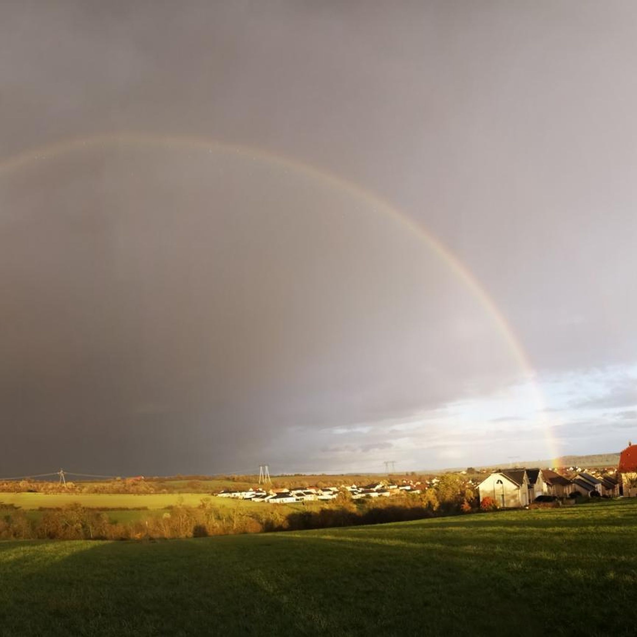

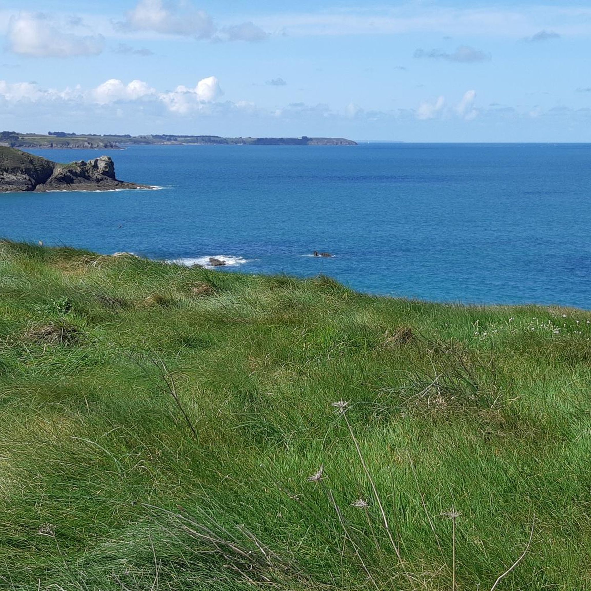
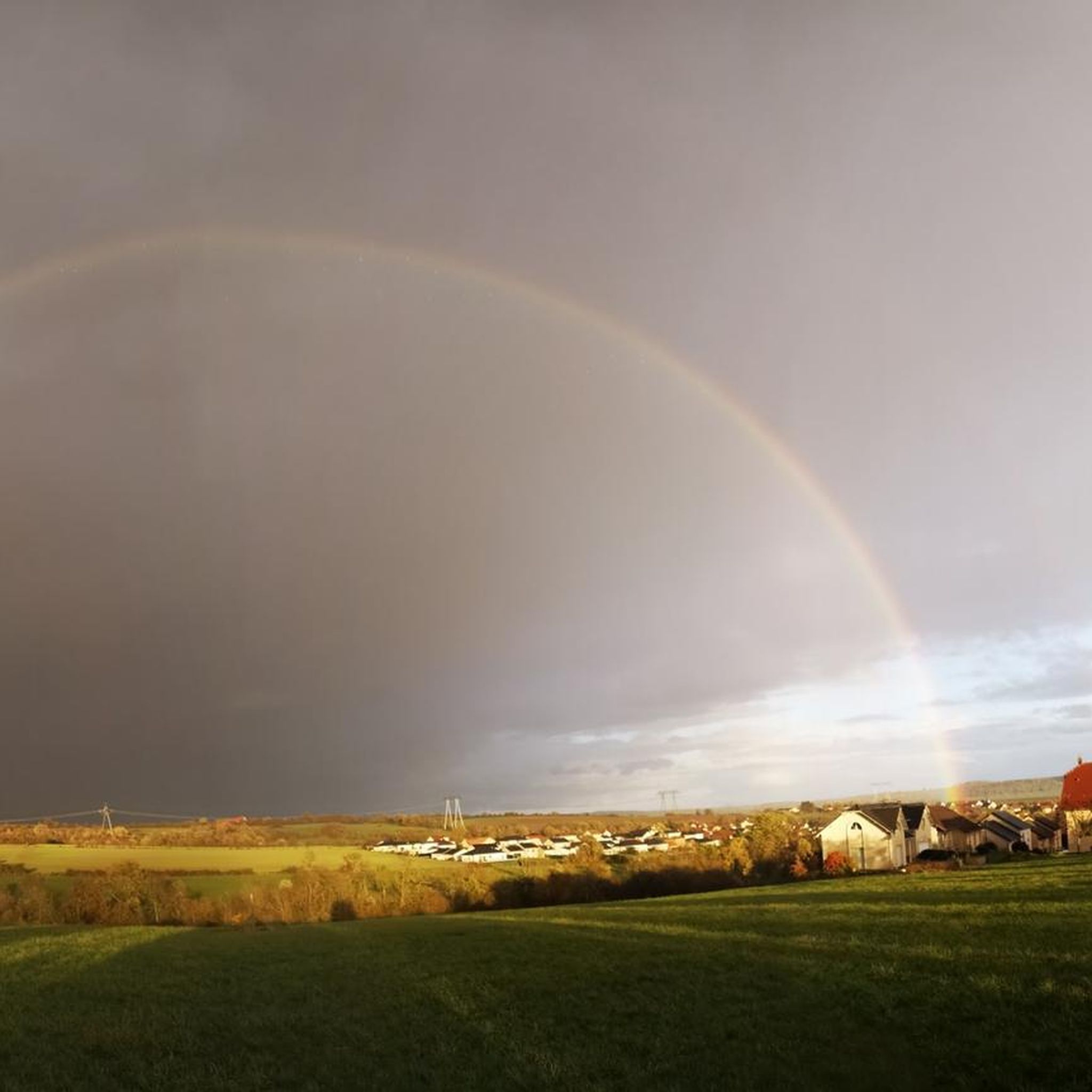
Tips from the Community

The Maginot Line: The French Wall | ARTE https://youtu.be/Bvtxa08ysgc For those who would like to know more about the Maginot Line: de.wikipedia.org/wiki/Liste_der_Ouvrages_der_Maginot-Linie
1
0

Excellent playground with many forest paths. Not far away, the Hussards hill has several mountain bike trails.
0
0

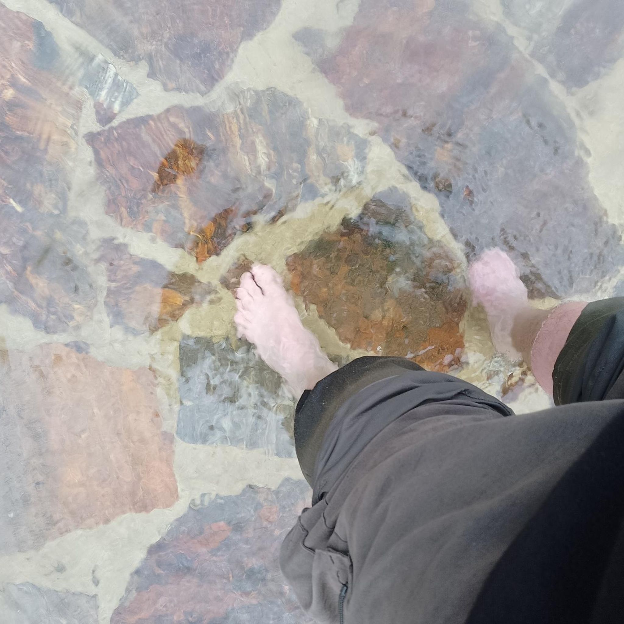
The route allows you to access the source of the Halberg by following the markings. A good spot to cool off.
0
0
The Hussards hill is a beautiful place for mountain biking. Several circuits are available at its entrance.
0
0

Unfortunately the route is blocked between point 12 and the end. There is a new metal barrier blocking the way
0
0

Lots of nettles and thorns, but still OK
1
0

An ideal viewpoint to admire the view of the Varsberg.
2
0

The view is quite ok only the power plant disturbs.
0
0
Frequently Asked Questions
How many mountain bike trails are available in Lauterfangen?
There are over 150 mountain bike trails in the Lauterfangen region, offering a wide variety of options for different skill levels and preferences. You'll find everything from easy rides to challenging routes.
Are there mountain bike trails suitable for beginners in Lauterfangen?
Yes, Lauterfangen offers several easy mountain bike trails perfect for beginners. For example, the Crossroads Oderfang loop from Longeville-lès-Saint-Avold is an easy 10.8-mile (17.3 km) path that provides a relaxed ride through the local countryside. There are 26 easy routes in total.
What kind of terrain can I expect on mountain bike trails in Lauterfangen?
The terrain in Lauterfangen is quite varied, characterized by rolling hills, dense forests, and river valleys. You can expect a mix of gravel paths, root-covered sections, and technical single trails. The region also features significant elevation changes, providing both challenging climbs and flowing descents, often with spectacular scenic views.
Are there challenging mountain bike trails for advanced riders in Lauterfangen?
Absolutely. Lauterfangen has 28 difficult mountain bike routes for experienced riders. A prime example is the Rocher de l’Edelweiss – Étang de Longeville loop from Longeville-lès-Saint-Avold, a demanding 32.1-mile (51.6 km) trail with significant elevation gain and varied forest paths.
Can I find circular mountain bike routes in Lauterfangen?
Yes, many of the mountain bike trails in Lauterfangen are designed as circular routes, allowing you to start and end at the same point. Examples include the Ouvrage de l'Einseling – Silcence Zone loop from Teting and the Route Forestière de Hollerloch – Altmeyer Flow Trail loop from Longeville-lès-Saint-Avold.
What are some family-friendly mountain bike options in Lauterfangen?
For families, the easier routes are generally the best choice. The Crossroads Oderfang loop from Longeville-lès-Saint-Avold is an easy option that offers a relaxed ride through the local countryside, suitable for a family outing. Look for routes marked as 'easy' on komoot for more family-friendly choices.
What are the typical lengths of mountain bike trails in Lauterfangen?
Trail lengths vary significantly. You can find shorter routes like the Crossroads Oderfang loop at 10.8 miles (17.3 km), or longer, more challenging rides such as the Rocher de l’Edelweiss – Étang de Longeville loop, which spans 32.1 miles (51.6 km).
Are there any notable natural features or landmarks to see while mountain biking?
Yes, the region offers scenic views and natural beauty. While riding, you might encounter dramatic valleys, towering cliffs, and dense woodlands. Some routes also lead to viewpoints like the Rocher de l’Edelweiss, offering panoramic vistas.
What do other mountain bikers say about the trails in Lauterfangen?
The mountain bike trails in Lauterfangen are highly rated by the komoot community, with an average score of 4.2 stars from over 275 reviews. Riders often praise the varied terrain, the scenic forest paths, and the options available for different ability levels.
Is there parking available near the mountain bike trails?
While specific parking information for each trail varies, many trailheads in the Lauterfangen region, especially those starting from towns like Longeville-lès-Saint-Avold or Teting, typically offer designated parking areas for outdoor enthusiasts. It's advisable to check the individual tour details on komoot for precise parking locations.
What is the best time of year to go mountain biking in Lauterfangen?
The best time for mountain biking in Lauterfangen is generally during the spring, summer, and early autumn months when the weather is mild and trails are dry. The dense forests provide good shade in summer, and autumn offers beautiful foliage. Winter riding might be possible on some trails, but conditions can be challenging due to snow or ice.
Are there mountain bike trails that pass by historical sites or points of interest?
Yes, some routes in Lauterfangen lead through areas with historical significance. For instance, the Ouvrage de l'Einseling – Silcence Zone loop from Teting passes through forested areas and historical sites. You can also find highlights like the Maginot Line or the Lorraine American Cemetery and Memorial nearby.
How can I find more mountain bike trails in the Lauterfangen region?
You can explore all 155 mountain bike tours in the Lauterfangen region directly on komoot. Use the filters to sort by difficulty, length, or elevation to find routes that best suit your preferences.
Most popular routes around Lauterfangen
Most popular attractions around Lauterfangen

Get inspired with the komoot mobile app


Explore more
Browse the best MTB trails in other regions.
