The best running trails around Sainte-Marie-Aux-Chênes
4.3
(119)
6,718
runners
274
runs
Jogging around Sainte-Marie-Aux-Chênes offers a diverse natural environment in the Moselle department of northeastern France. The region is characterized by naturally rich, often wooded landscapes, providing shaded running routes. Its average elevation ranges from 205 to 323 meters, indicating natural undulation and varied terrain suitable for different running preferences. Water bodies like the Plan d'Eau de la Sangsue also offer picturesque settings for running paths.
Best jogging routes around Sainte-Marie-Aux-Chênes
- The most popular jogging route is Forest Descent Trail –…
Last updated: July 10, 2026
3.5
(4)
70
runners
22.5km
02:55
560m
560m
Hard run. Very good fitness required. Mostly paved surfaces. Suitable for all skill levels.
8
runners
8.27km
00:59
100m
100m
Moderate run. Good fitness required. Mostly paved surfaces. Suitable for all skill levels.

Sign up for free
7
runners
9.93km
01:03
120m
120m
Moderate run. Good fitness required. Mostly paved surfaces. Suitable for all skill levels.
9
runners
15.6km
01:55
250m
250m
Hard run. Very good fitness required. Mostly paved surfaces. Suitable for all skill levels.
13
runners
Hard run. Very good fitness required. Mostly paved surfaces. Suitable for all skill levels.
Get access to more routes and recommendations from other explorers.
Sign up for free
Already have an account?
Our route recommendations are based on thousands of hikes, rides, and runs completed by other people on komoot.
Start today with a free account
Your next adventure awaits.
Login or Signup

Tips from the Community

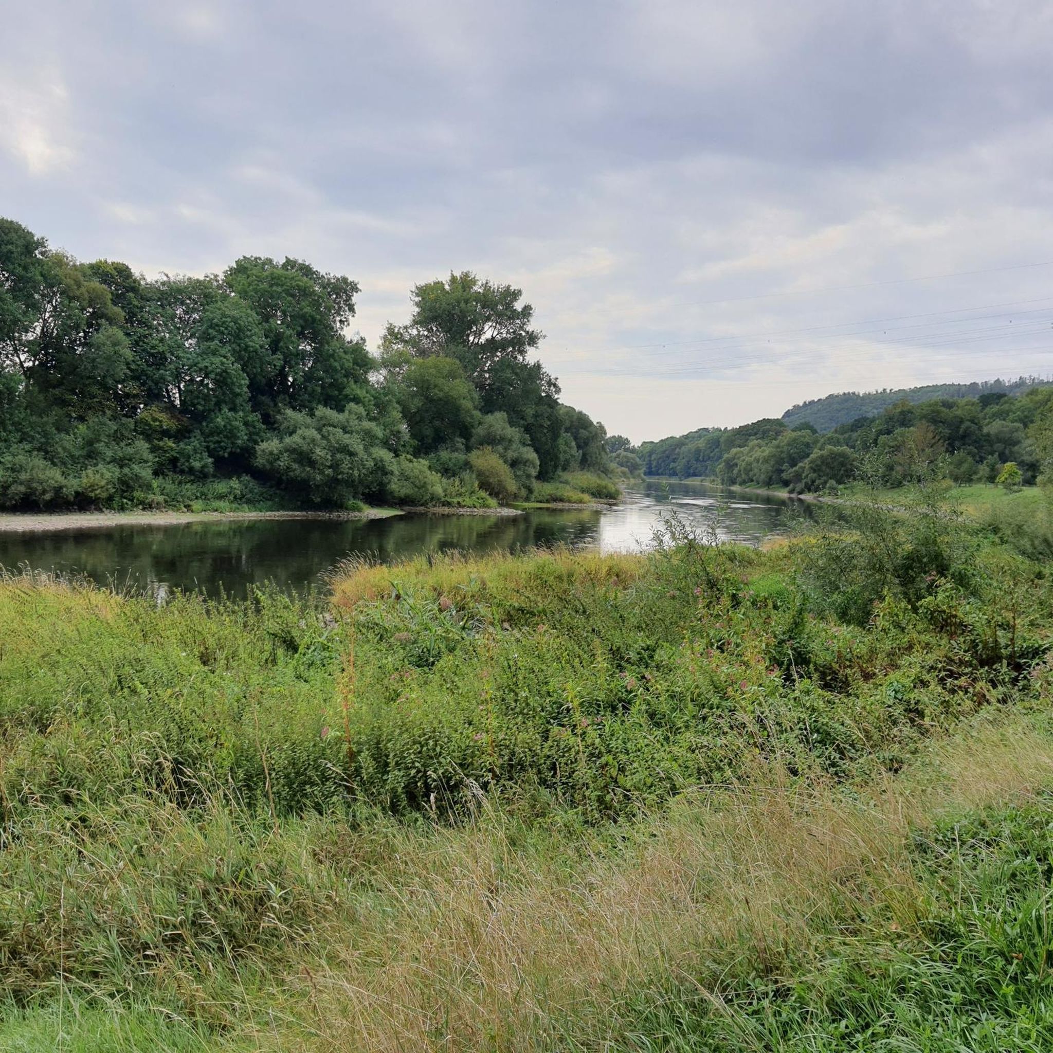
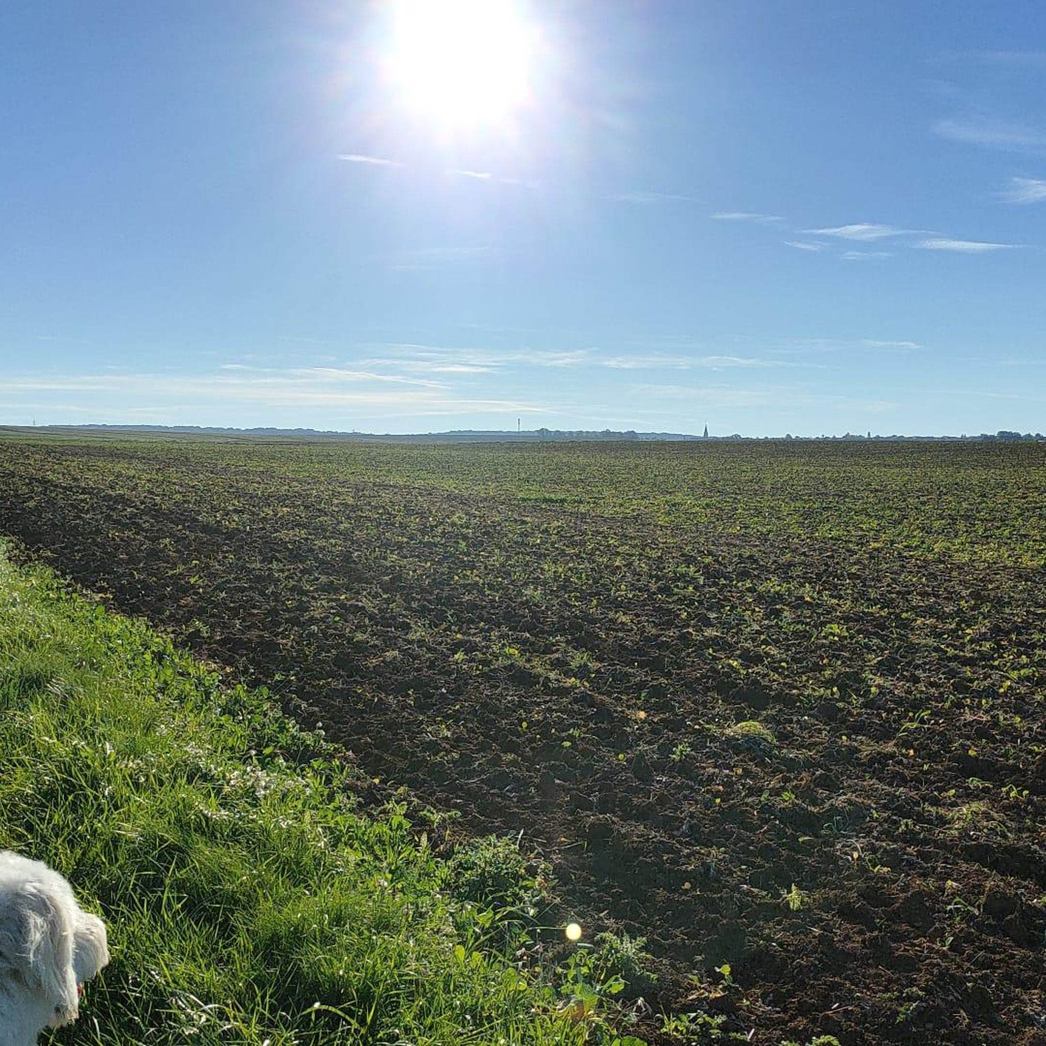
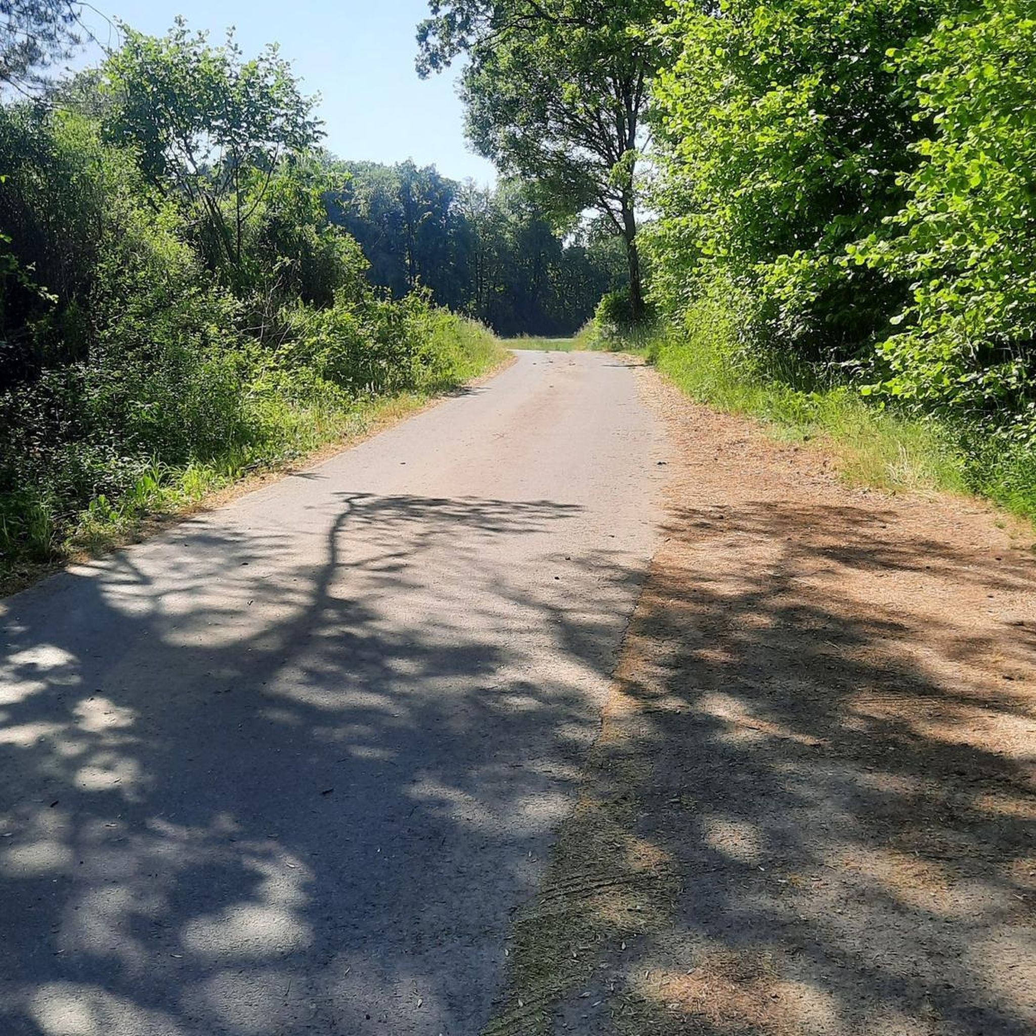
Extract from the information panel: Facing south, the Côte de Saulny benefits from maximum sunshine, favorable to the establishment of thermophilic plants (appreciating heat) which form a low vegetation here called "lawn". After the violet-purple of the Pasqueflowers in March, the lawn takes on a multicolored spring hue: it is at this time that you can observe, along the path, different species of wild orchids.
2
0

Fun descent through the forest.
0
0

vollee de 360 walks in the forest. ideal for heating thighs
2
0
360-step flight. ideal for working the thighs
2
0

Better watch out for the little steps and nasty tree branches ;-) Watch out for small steps and joking branches
0
0
Frequently Asked Questions
How many running routes are available in the Sainte-Marie-Aux-Chênes area?
The Sainte-Marie-Aux-Chênes region offers a wide selection of running routes, with over 240 trails available for various skill levels. You'll find options ranging from easy strolls to challenging runs.
What kind of terrain can I expect on the running trails around Sainte-Marie-Aux-Chênes?
The area is characterized by a diverse natural environment, featuring rich, often wooded landscapes. You can expect natural undulation, with elevations ranging from 205 to 323 meters, providing varied terrain. Some routes, like the Running loop from Amanvillers, offer a mix of wooded sections and paved surfaces.
Are there easy running routes suitable for beginners or casual joggers?
Yes, there are several easy running routes in the region. For instance, the Running loop from Saint-Privat-la-Montagne is an easy option, perfect for beginners or those looking for a less strenuous run. Overall, there are 18 easy routes to choose from.
Are there challenging running routes for experienced runners?
Absolutely. For experienced runners seeking a challenge, the region offers 54 difficult routes. A notable example is the Forest Descent Trail – Staircase of the 360 Steps loop from Amanvillers, which features significant elevation changes and varied terrain over 22.5 km.
Can I find circular running routes in the region?
Yes, many of the running paths around Sainte-Marie-Aux-Chênes are designed as loops, allowing you to start and finish in the same location. The Running loop from Sainte-Marie-aux-Chênes is a popular 9.9 km circular route leading through wooded landscapes.
Are there any interesting natural features or landmarks to see while running near Sainte-Marie-Aux-Chênes?
The region offers several points of interest. You can run near the picturesque Plan d'Eau de la Sangsue, a local highlight. Additionally, the area is close to historical sites like Fort Saint-Quentin, offering varied scenery during your run.
Are there any routes that pass by water bodies?
Yes, the Plan d'Eau de la Sangsue is a local highlight that offers picturesque settings for lakeside jogging or leisurely walks. The Moselle riverbanks and Plan d'eau de Metz are also just 15 kilometers away, providing more waterside paths.
What do other runners say about the trails in Sainte-Marie-Aux-Chênes?
The running routes in Sainte-Marie-Aux-Chênes are highly rated by the komoot community, with an average score of 4.4 stars from over 100 reviews. Runners often praise the diverse natural environment, the mix of wooded and open landscapes, and the variety of routes available for all ability levels.
What is the best time of year to go running in Sainte-Marie-Aux-Chênes?
The region's wooded areas provide natural shade, making it pleasant for running during warmer months. The green countryside is beautiful in spring and summer. However, the varied terrain and natural features can be enjoyed year-round, with each season offering a unique experience.
Is parking available near the trailheads?
While specific parking details for every trailhead are not provided, Sainte-Marie-Aux-Chênes is a tranquil village, and parking is generally accessible in and around the starting points of many routes. It's advisable to check local signage or route descriptions for specific parking information.
How accessible are the running trails by public transport?
Sainte-Marie-Aux-Chênes is a village in the Moselle department. While local public transport options exist, many visitors find it more convenient to access trailheads by car. For detailed public transport information, it's best to consult local transport schedules for the Moselle region.
Are the running routes around Sainte-Marie-Aux-Chênes dog-friendly?
Many of the natural trails and wooded paths in the Sainte-Marie-Aux-Chênes area are suitable for running with dogs, especially given the region's focus on outdoor activities. However, it's always recommended to keep dogs on a leash and respect local regulations, particularly in nature reserves or agricultural areas.
Are there family-friendly running options in Sainte-Marie-Aux-Chênes?
Yes, with 18 easy routes available, there are plenty of family-friendly options for running or walking. These routes typically feature less elevation gain and shorter distances, making them suitable for families with children or those looking for a relaxed outing.
Most popular routes around Sainte-Marie-Aux-Chênes
Most popular attractions around Sainte-Marie-Aux-Chênes

Get inspired with the komoot mobile app


Explore more
Browse the best Running Trails & Routes in other regions.
