The best walks and hikes around Pfarrebersweiler
4.4
(1390)
6,143
hikers
356
hikes
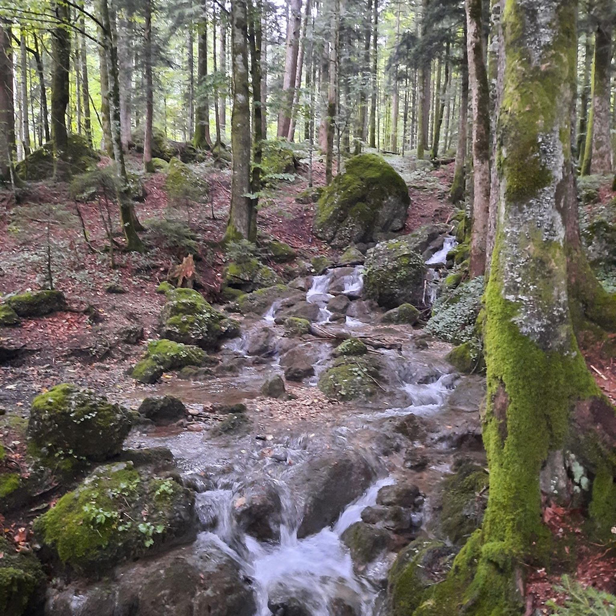
Hiking around Pfarrebersweiler, a commune in the Moselle department of northeastern France, offers diverse outdoor experiences. The region, part of the Grand Est and close to the German border, is characterized by a blend of extensive forests and gentle valleys. Hikers can explore varied terrain, including the natural areas like the Marais d'Ippling and landscapes typical of the Lorraine plateau. This natural setting provides a backdrop for trails that often incorporate historical elements.
Best hiking trails around Pfarrebersweiler
- The most…
Last updated: August 19, 2026
4.3
(3)
13
hikers
9.55km
02:32
100m
100m
Moderate hike. Good fitness required. Easily-accessible paths. Suitable for all skill levels.
5.0
(1)
5
hikers
Moderate hike. Good fitness required. Easily-accessible paths. Suitable for all skill levels.

Sign up for free
4.7
(3)
13
hikers
9.60km
02:31
70m
70m
Moderate hike. Good fitness required. Easily-accessible paths. Suitable for all skill levels.
7
hikers
9.11km
02:24
80m
80m
Moderate hike. Good fitness required. Easily-accessible paths. Suitable for all skill levels.
3.7
(3)
12
hikers
Easy hike. Great for any fitness level. Easily-accessible paths. Suitable for all skill levels.
Get access to more routes and recommendations from other explorers.
Sign up for free
Already have an account?
Our route recommendations are based on thousands of hikes, rides, and runs completed by other people on komoot.
Start today with a free account
Your next adventure awaits.
Login or Signup
Tips from the Community

This memorial was erected in memory of the 17,000 dead from Alsace and Moselle, forcibly incorporated into the Wehrmacht or other German military formations by the occupier during the annexation of our eastern provinces to the Third Reich from 1940 to 1945, abandoned by the Vichy government, in defiance of all legality. These victims were young men and women born between 1906 and 1928, mobilized from October 16, 1942, to January 12, 1945, under threat of family deportation in the event of desertion. Consumed in the Red Army in 1943, as "escapees" or as "unwilling" Wehrmacht prisoners of war, they were dragged from camp to camp, immediately converted into "underfed forced laborers." A large number of them were gathered very early on at the sinister Tambow camp, known as the "French camp" due to the size of the French Community at certain times. Tyranny, malnutrition, arbitrary punishments, excessive workload, deteriorating collective morale, epidemics, the harsh climate, inadequate clothing, overcrowding, and poor hygiene—all these factors quickly took their toll on the captive population. The loss of life at the Tambow camp is estimated at approximately 50 to 60 percent. Between 1944 and 1945, 68,000 prisoners of war of all nationalities passed through, among whom the "French contingent" was the most exploited. Few endured this regime of psychological persecution, meager rations, and forced labor for which they were ill-suited. Almost all survivors reported incurable after-effects. Six Lazarets and two rudimentary "Hospitals," antechambers of death, delivered their cargo of corpses every night, early in the morning, then dumped pell-mell into the mass graves dug by their comrades in the forest around the camp. This memorial is intended to be a place of contemplation and reflection in tribute to the dead who perished needlessly, sacrificing their young lives without reproach, knowing that their remains would never be repatriated. Most were delivered to the inhospitable Russian land, in complete anonymity. Thousands of families thus lost all trace of their sons, their husbands, their fathers who died neither for Germany nor for Russia, but in the fervent expectation and hope of returning to France, their homeland." The survivors of these Russian camps, originally from Alsace and Moselle, have devoutly preserved the memory of these dark hours and of their abandoned comrades, whom they consider "Martyrs." Don't forget them!
0
0
A three-story round tower dating from the 12th century, known as the "Mutterkirche" tower. At its feet are the tombs of local priests.
0
0

The Hoste Bas pond borders the Hoste Haut pond. It was part of the Maginot Line defense system. Today, they are home to numerous species of fish, much to the delight of anglers.
0
1

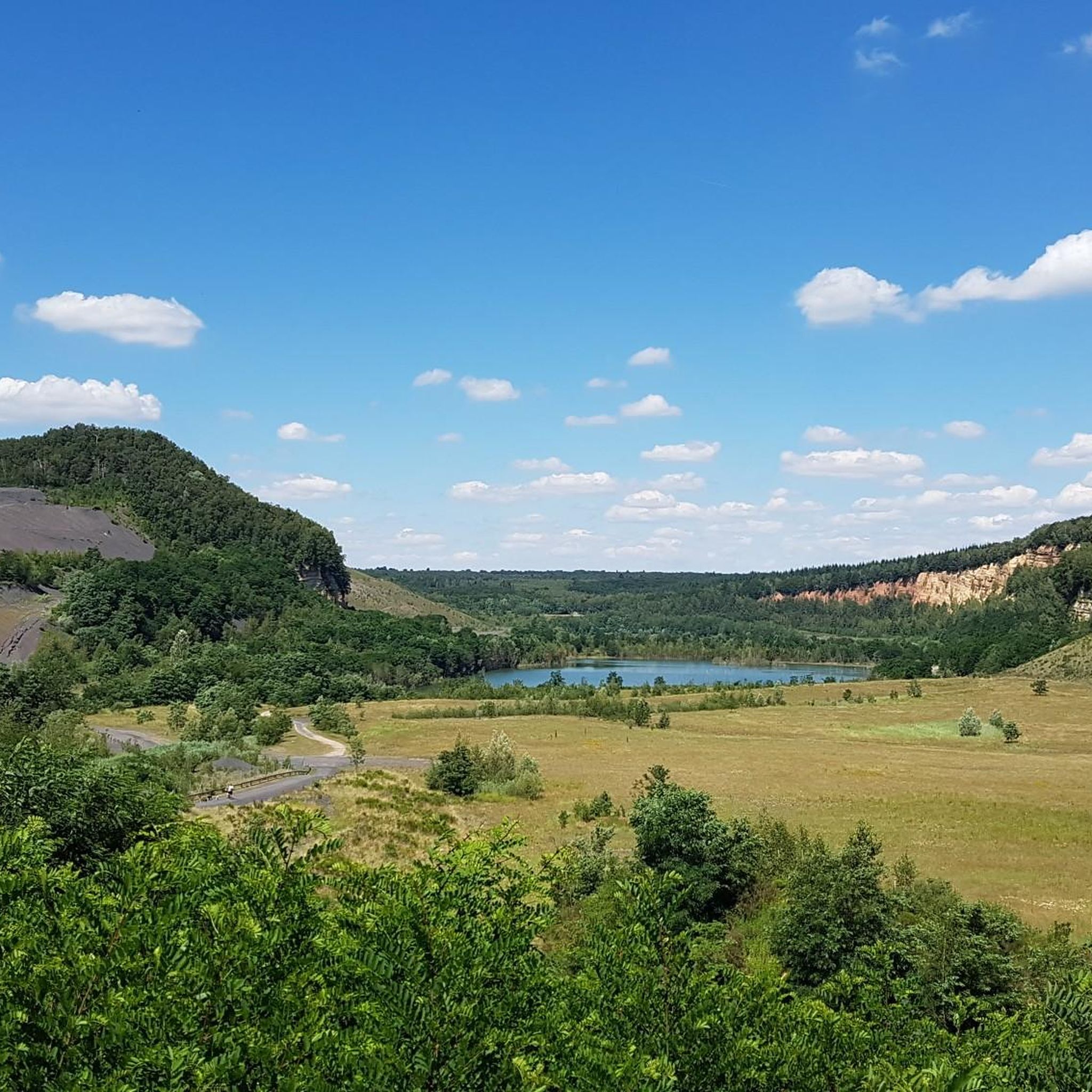
A pleasant setting for a stroll between the water and the forest. The lake is a kilometer and a half long.
0
0

The rock grotto of the Saint Helena Chapel was formerly a Celtic settlement and was used as a pilgrimage site.
2
0
The rock grotto of the St. Helena Chapel was formerly a Celtic settlement and was used as a pilgrimage site.
1
0


Frequently Asked Questions
What kind of terrain can I expect on hikes around Pfarrebersweiler?
The hiking trails around Pfarrebersweiler offer a diverse landscape, characterized by extensive forests and gentle valleys. You'll encounter varied terrain, including natural areas like the Marais d'Ippling and landscapes typical of the Lorraine plateau. Many routes also incorporate historical elements, blending nature with heritage.
Are there many hiking trails available in the Pfarrebersweiler area?
Yes, Pfarrebersweiler and its surroundings boast a wide selection of hiking trails. There are over 350 routes available, catering to various skill levels with options for easy, moderate, and difficult hikes.
Are there any family-friendly hiking options in Pfarrebersweiler?
Absolutely. The region offers trails specifically designed for families and children. For instance, the Marais d'Ippling is highlighted as an open-air natural playground perfect for family hikes, with routes focusing on local wildlife and plant life, ensuring an engaging experience for all ages.
Can I bring my dog on the hiking trails around Pfarrebersweiler?
While specific leash rules may vary by trail or protected area, the natural landscapes of forests and valleys around Pfarrebersweiler are generally welcoming for dog walkers. It's always recommended to keep your dog under control and check for any local signage regarding pet regulations on specific paths.
Are there any circular hiking routes near Pfarrebersweiler?
Yes, many of the trails in the area are designed as circular routes, allowing you to start and end at the same point. Examples include the Grotto of the Virgin Mary loop from Seingbouse and the Hoste-Haut Pond – Farschviller Pond loop from Farschviller, offering convenient exploration of the local scenery.
What kind of natural features or landmarks can I see while hiking?
Hikers can discover a blend of natural beauty and historical elements. The region features extensive forests, gentle valleys, and the unique Marais d'Ippling natural area. You might also encounter historical sites or structures integrated into the natural surroundings. Nearby attractions include the Panoramic Platform at Barrois Quarry, the Karlsbrunn Wildlife Park, and the Karlsbrunn Hunting Lodge.
Are there any viewpoints along the hiking trails?
Yes, the area offers opportunities for scenic views. The Panoramic Platform at Barrois Quarry is a notable viewpoint where you can enjoy expansive vistas of the surrounding landscape.
What is the best time of year to go hiking in Pfarrebersweiler?
The region's blend of forests and valleys makes it enjoyable across multiple seasons. Spring and autumn offer pleasant temperatures and vibrant natural colors, while summer provides lush greenery. Winter hikes can also be beautiful, though conditions may vary.
Are there any historical sites or cultural points of interest along the routes?
Many hiking paths in Pfarrebersweiler and the Forbach Region intertwine with historical heritage. You might discover ancient ruins, historical testaments, or paths leading past historic cottage forges, offering glimpses into the past amidst natural settings. The Sainte-Hélène Cave-Chapel – Statue of Saint Helena loop from Béning-lès-Saint-Avold is an example of a route featuring historical elements.
What do other hikers say about the trails in Pfarrebersweiler?
The routes in Pfarrebersweiler are highly rated by the komoot community, with an average score of 4.4 stars from over 1000 reviews. Hikers often praise the varied terrain, the serene forest environments, and the well-maintained paths that make for an enjoyable outdoor experience.
Are there options for easy hikes in Pfarrebersweiler?
Yes, out of over 350 routes, more than 150 are classified as easy, making them suitable for casual walkers or those looking for a less strenuous outdoor experience. These trails often feature gentle gradients and well-defined paths.
Is public transport available to reach trailheads in Pfarrebersweiler?
Pfarrebersweiler is a commune in the Moselle department, and while specific public transport links to every trailhead may vary, the area is generally accessible. For detailed information on reaching specific starting points, it's advisable to check local transport schedules for the Forbach Region.
Most popular routes around Pfarrebersweiler
Most popular attractions around Pfarrebersweiler

Get inspired with the komoot mobile app


Explore more
Browse the best Hikes in other regions.
