The best running trails around Givenchy-Lès-La-Bassée
4.5
(163)
8,827
runners
462
runs
Jogging around Givenchy-Lès-La-Bassée offers a blend of tranquil natural landscapes and accessible trails. The region is characterized by a relatively flat terrain, with an average altitude of 27 meters, making it suitable for running. Running routes often follow the Canal d'Aire à La Bassée, weave through marsh areas and ponds, and traverse a mix of fields and wooded sections. This diverse landscape provides varied scenery for outdoor activities.
Best jogging routes around Givenchy-Lès-La-Bassée
- The most popular jogging route is Running…
Last updated: July 1, 2026
23
runners
11.3km
01:10
10m
10m
Moderate run. Good fitness required. Mostly paved surfaces. Suitable for all skill levels.
4.8
(8)
18
runners
11.6km
01:12
20m
20m
Moderate run. Good fitness required. Mostly paved surfaces. Suitable for all skill levels.

Sign up for free
15
runners
6.48km
00:43
10m
10m
Moderate run. Good fitness required. Mostly paved surfaces. Suitable for all skill levels.
13
runners
7.41km
00:47
20m
20m
Moderate run. Good fitness required. Mostly paved surfaces. Suitable for all skill levels.
11
runners
13.6km
01:26
30m
30m
Moderate run. Good fitness required. Mostly paved surfaces. Suitable for all skill levels.
Get access to more routes and recommendations from other explorers.
Sign up for free
Already have an account?
Our route recommendations are based on thousands of hikes, rides, and runs completed by other people on komoot.
Start today with a free account
Your next adventure awaits.
Login or Signup

Tips from the Community


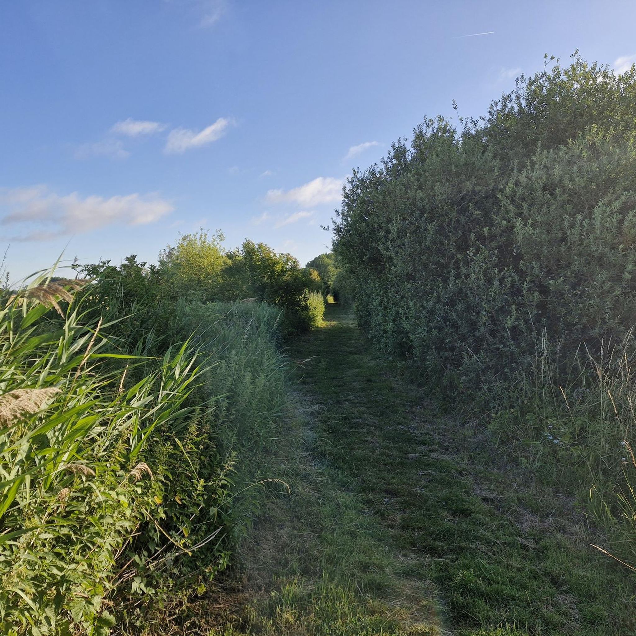
Lined with vegetation, this canal offers a bucolic setting where it is pleasant to ride a bike, along the shaded banks. The reflections of the trees in the calm water create a serene atmosphere, ideal for recharging your batteries.
1
0

Gorre British and Indian Cemetery is a cemetery in Gorre, France. It contains the graves of over 900 Commonwealth soldiers who died in the First World War. The cemetery was designed by Charles Holden and is maintained by the Commonwealth War Graves Commission. Gorre Castle was occupied early in the war by troops serving with the British Expeditionary Force and the Indian Corps, and the burial ground, located in the south-east corner of the original castle grounds, was begun in the autumn of 1914. The Indian section of the cemetery was closed in October 1915, shortly before the Indian infantry divisions left France for redeployment to the Middle East. Many of those now buried in Plots V and VI of the British section of the cemetery were killed during the Battle of Estaires in April 1918.
11
0

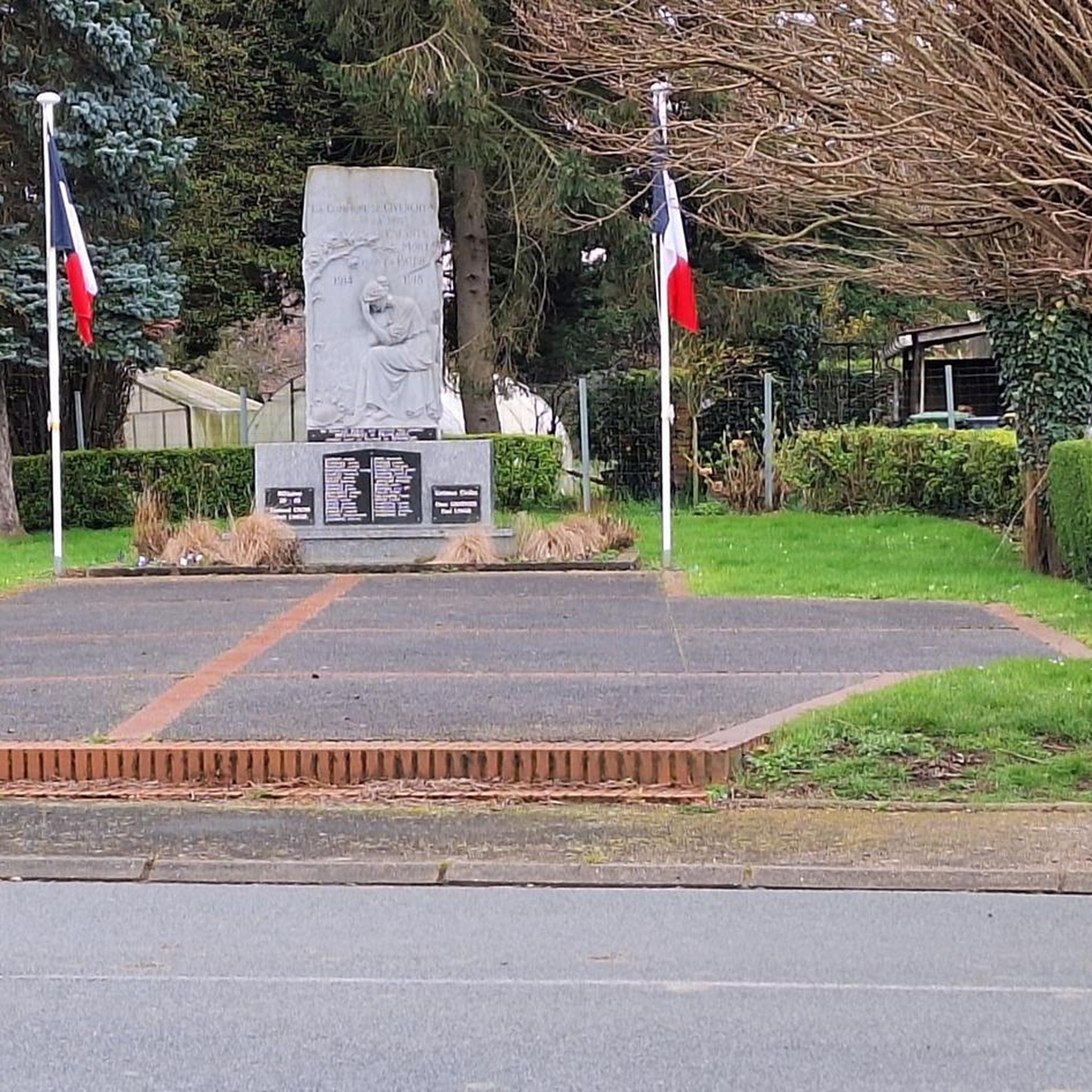
in concrete like many in the north
0
0
freshly renovated
0
1
Frequently Asked Questions
How many running routes are available in Givenchy-Lès-La-Bassée?
Givenchy-Lès-La-Bassée offers a wide selection of running routes, with over 470 options available. These include a mix of easy, moderate, and more challenging trails to suit various fitness levels.
What is the typical terrain like for jogging in Givenchy-Lès-La-Bassée?
The terrain in Givenchy-Lès-La-Bassée is generally flat, with an average altitude of 27 meters, making it ideal for running. You'll find routes along the Canal d'Aire à La Bassée, through tranquil marsh areas and ponds, and winding through a pleasant mix of fields and wooded sections.
Are there any easy or beginner-friendly running routes in the area?
Yes, there are plenty of options for beginners or those looking for an easy run. The region features 57 routes classified as easy, often following flat canal paths or gentle trails through fields, providing a relaxed and enjoyable experience.
What do other runners enjoy most about the trails in Givenchy-Lès-La-Bassée?
The running trails in Givenchy-Lès-La-Bassée are highly rated by the komoot community, with an average score of 4.3 stars from over 130 reviews. Runners often praise the tranquil natural landscapes, the varied scenery of canal paths, marshlands, fields, and woods, and the overall peaceful atmosphere away from urban bustle.
Can I find routes that pass by scenic natural features or points of interest?
Absolutely. Many routes offer scenic views along the Canal d'Aire à La Bassée and through marsh areas like Les étangs de la Tanche. You can also explore routes that pass by various lakes and ponds such as Marsh Pond or Etang de Wingles, offering refreshing waterscapes during your run.
Are there any historical landmarks or attractions along the running paths?
Yes, some routes incorporate historical elements. For instance, the 'Sentier de randonnée Les Fontaines' circuit, which is suitable for running, passes by the church of Givenchy-Lès-La-Bassée, the monument of the 55th West Lancashire Division, and the Cuinchy lock. Other nearby attractions include the Australian Memorial Park Fromelles and the Hill 70 Canadian Memorial.
Are there any circular running routes available?
Yes, many of the running routes in Givenchy-Lès-La-Bassée are circular, allowing you to start and finish at the same point. Examples include the popular Running loop from Cuinchy and the Running loop from Festubert, which offer convenient options for exploration.
Can I bring my dog on the running trails?
Givenchy-Lès-La-Bassée's natural environment, with its fields, woods, and canal paths, is generally welcoming for dogs. However, it's always recommended to check local signage for specific restrictions, especially in protected marsh areas or private lands, and to keep your dog on a leash.
Are the running routes suitable for families with children?
Many of the flatter, well-maintained paths along the canals and through fields are suitable for families. The tranquil environment and varied scenery can make for an enjoyable outing. Consider shorter, easy routes like the Running loop from Festubert for a family-friendly experience.
Is there parking available near the running trails?
As a rural area, parking is generally accessible in and around the villages that serve as starting points for many routes, such as Cuinchy or Festubert. Look for designated parking areas or consider street parking where permitted, especially near public amenities or trailheads.
What is the best time of year to go running in Givenchy-Lès-La-Bassée?
The region offers pleasant running conditions throughout much of the year. Spring and autumn provide mild temperatures and beautiful scenery with changing foliage. Summer is also suitable, especially in the mornings or evenings, with wooded sections offering some shade. Even in winter, the generally flat terrain makes many paths accessible, though some marshier areas might be wetter.
Are there any longer running routes for endurance training?
Yes, for those seeking longer distances, routes like the Pont des Crêtes loop from Cuinchy, which covers over 13.5 km, provide excellent opportunities for endurance training. Many routes can also be combined or extended along the canal paths to create longer runs.
Most popular routes around Givenchy-Lès-La-Bassée
Most popular attractions around Givenchy-Lès-La-Bassée

Get inspired with the komoot mobile app


Explore more
Browse the best Running Trails & Routes in other regions.
