The best road cycling routes around Houchin
4.3
(222)
9,257
riders
665
rides
Road cycling routes around Houchin are characterized by a landscape of gentle rolling hills, agricultural fields, and waterways in the Pas-de-Calais department of France. The region offers varied terrain, including routes alongside canals and through areas with moderate ascents. Road cyclists can expect a mix of open countryside and routes passing through small towns.
Best road cycling routes around Houchin
- The most popular road cycling route is Béthune – Waterfall of Nave river in Bourecq loop from Ruitz, a…
Last updated: July 10, 2026
54
riders
47.0km
01:53
210m
210m
Easy road ride. Great for any fitness level. Mostly well-paved surfaces and easy to ride.
4.0
(2)
32
riders
49.0km
02:06
370m
370m
Moderate road ride. Good fitness required. Mostly well-paved surfaces and easy to ride.

Sign up for free
4.0
(2)
26
riders
Moderate road ride. Great for any fitness level. Some segments of this route may be unpaved and difficult to ride.
20
riders
46.7km
02:03
270m
270m
Moderate road ride. Good fitness required. Mostly well-paved surfaces and easy to ride.
18
riders
60.1km
02:23
190m
190m
Moderate road ride. Good fitness required. Mostly well-paved surfaces and easy to ride.
Get access to more routes and recommendations from other explorers.
Sign up for free
Already have an account?
Our route recommendations are based on thousands of hikes, rides, and runs completed by other people on komoot.
Start today with a free account
Your next adventure awaits.
Login or Signup
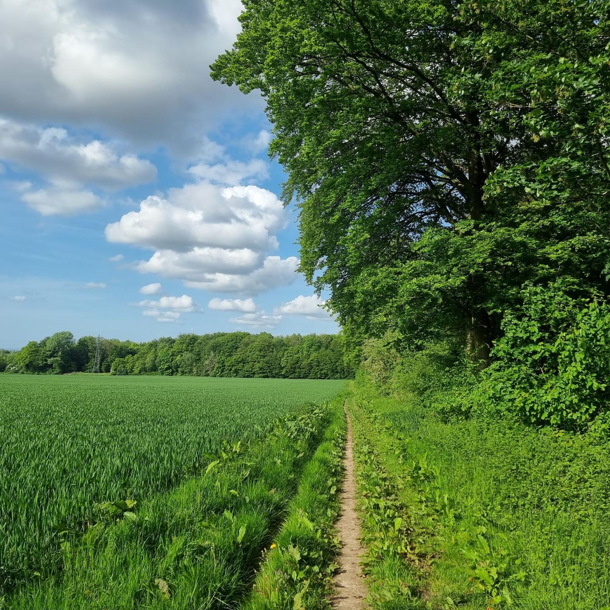

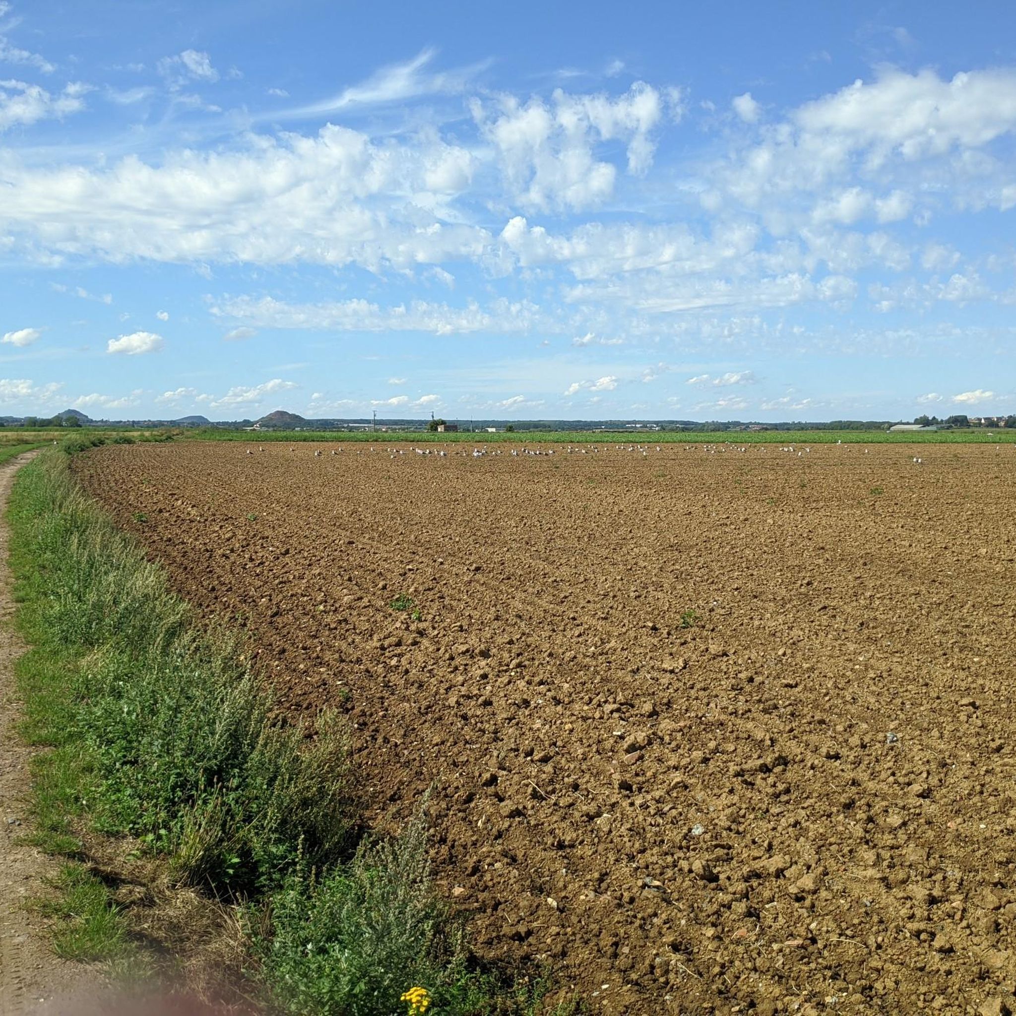
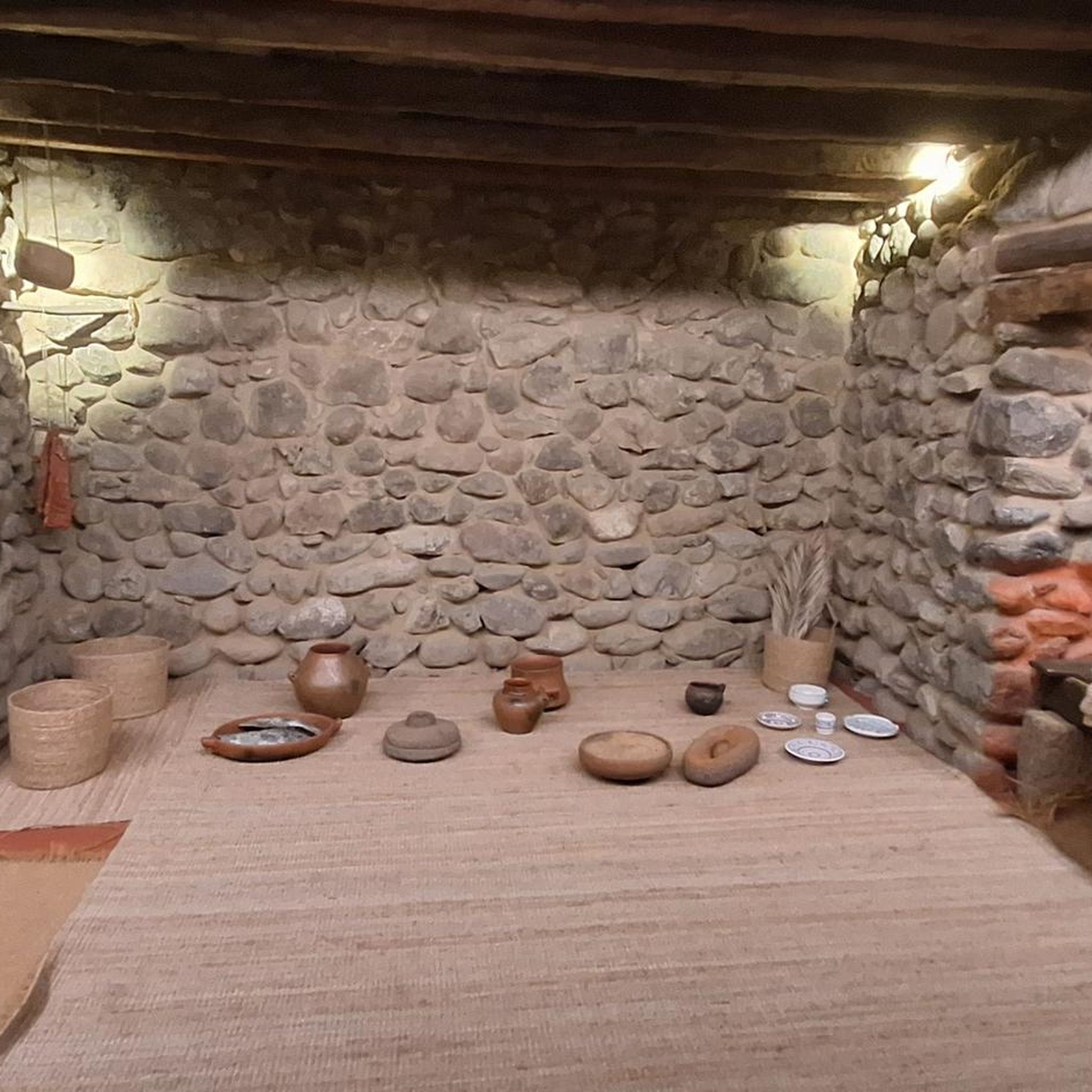
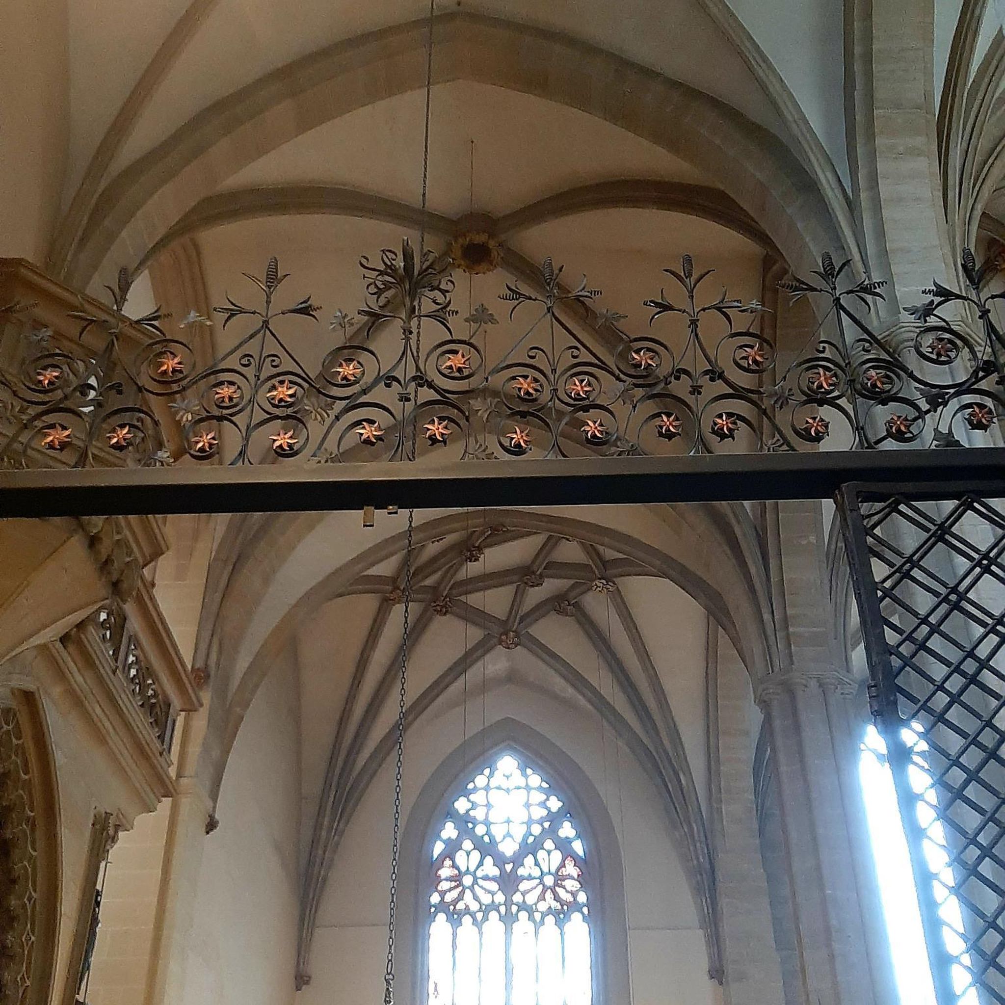
Tips from the Community

Superb metal bridge that spans the Canal d’Aire. The surface of this bridge is paved and its width is narrow.
0
0

Marles-les-Mines is an iconic town in the mining region. It's home to the mining museum and the last remaining headframe. Standing 25 meters tall, the small Vieux II headframe is a must-see in the region's mining heritage.
0
0

Gorre British and Indian Cemetery is a cemetery in Gorre, France. It contains the graves of over 900 Commonwealth soldiers who died in the First World War. The cemetery was designed by Charles Holden and is maintained by the Commonwealth War Graves Commission. Gorre Castle was occupied early in the war by troops serving with the British Expeditionary Force and the Indian Corps, and the burial ground, located in the south-east corner of the original castle grounds, was begun in the autumn of 1914. The Indian section of the cemetery was closed in October 1915, shortly before the Indian infantry divisions left France for redeployment to the Middle East. Many of those now buried in Plots V and VI of the British section of the cemetery were killed during the Battle of Estaires in April 1918.
11
0

and the cemetery crucifix
0
0
one of the highest in the north
1
0
too bad it is closed
0
0

This lake is an old quarry with a depth of 3 to 11 meters and an area of 2 hectares. Here you can fish for carp, trout, pike and other species, or simply relax on the shore and admire the view.
3
0
Frequently Asked Questions
How many road cycling routes are available around Houchin?
There are over 680 road cycling routes around Houchin, offering a wide variety of options for different skill levels and preferences. You'll find everything from easy, flat rides to more challenging routes with significant climbs.
What kind of terrain can I expect on road cycling routes in Houchin?
Road cycling routes in Houchin are characterized by a landscape of gentle rolling hills, expansive agricultural fields, and picturesque waterways. You can expect a mix of open countryside, routes alongside canals, and paths that lead through charming small towns in the Pas-de-Calais department of France.
Are there easy or beginner-friendly road cycling routes in Houchin?
Yes, Houchin offers a good selection of easy road cycling routes, with over 150 options suitable for beginners or those looking for a more relaxed ride. These routes typically feature less elevation gain and shorter distances.
What are some challenging road cycling routes around Houchin?
For experienced cyclists seeking a challenge, Houchin has over 45 difficult routes. These often include notable climbs and longer distances. An example of a moderate route with climbs is Côte du parc d'Ohlain – Ruins of Saint-Bertin Abbey loop from Barlin, which features significant elevation gain.
What do other road cyclists enjoy most about the routes in Houchin?
The road cycling routes in Houchin are highly rated by the komoot community, with an average score of 4.3 stars from over 200 reviews. Cyclists often praise the varied terrain, from canal-side paths to rolling agricultural landscapes, and the options available for all ability levels.
Are there road cycling routes that pass by historical sites or landmarks in Houchin?
Yes, many routes in Houchin offer opportunities to explore historical sites and landmarks. For instance, the Côte du parc d'Ohlain – Ruins of Saint-Bertin Abbey loop from Barlin passes by historical ruins. You can also find highlights like Olhain Castle and Passage dolmen: The Fairy Table near some routes.
What natural attractions can I see along road cycling routes in Houchin?
While cycling around Houchin, you can encounter various natural attractions. Routes often lead through scenic agricultural landscapes and along waterways. Notable natural highlights include Lac de Beugin and several 'Terrils' (slag heaps transformed into natural monuments) such as Terril 36 of Nœux-les-Mines and Terril de Fouqureuil.
Are there any circular road cycling routes in Houchin?
Many of the road cycling routes around Houchin are designed as loops, allowing you to start and finish at the same point. Examples include the popular Béthune – Waterfall of Nave river in Bourecq loop from Ruitz and the Canal in Busnes – Côte de Hesdigneul loop from Haillicourt.
What is the typical length and duration of road cycling routes in Houchin?
The routes vary significantly in length and duration. For example, the popular Béthune – Waterfall of Nave river in Bourecq loop from Ruitz is about 50.6 miles (81.4 km) and takes around 3 hours 24 minutes. Shorter, easy routes can be around 30 miles (48 km) and take less than 2 hours, while longer, more challenging routes can exceed these figures.
Can I find road cycling routes that pass by water features like canals or rivers?
Absolutely. Houchin's landscape includes several waterways and canals. The Canal in Busnes – Côte de Hesdigneul loop from Haillicourt is a prime example, leading through canal-side paths, offering a pleasant and often flatter cycling experience.
Are there scenic viewpoints along the road cycling routes in Houchin?
Yes, the rolling agricultural landscapes and varied terrain of Houchin offer several scenic spots. You can find viewpoints such as The belvedere at Olhain Park and Terril Number 5 of Lapugnoy, which provide panoramic views of the surrounding countryside.
Most popular attractions around Houchin

Get inspired with the komoot mobile app


Explore more
Browse the best Road cycling routes in other regions.
