The best walks and hikes around Weiterswiller
4.5
(2603)
11,229
hikers
416
hikes
Hiking around Weiterswiller offers a diverse landscape characterized by rolling hills, dense woodlands, and notable rock formations. The region features varied terrain, including paths leading to historical sites and scenic viewpoints. Elevation changes are generally moderate, making the area accessible for different hiking abilities.
Best hiking trails around Weiterswiller
- The most popular hiking route is Ochsenstall Rock – Tunnel Rock loop from Erckartswiller, an 8.7 miles (14.0 km) trail that takes 3 hours 50 minutes to complete, featuring prominent…
Last updated: June 22, 2026
4.7
(58)
194
hikers
10.5km
02:55
190m
190m
Moderate hike. Good fitness required. Easily-accessible paths. Suitable for all skill levels.
4.8
(52)
168
hikers
12.7km
03:29
190m
190m
Moderate hike. Good fitness required. Easily-accessible paths. Suitable for all skill levels.

Sign up for free
4.7
(49)
151
hikers
5.40km
01:36
170m
170m
Easy hike. Great for any fitness level. Easily-accessible paths. Suitable for all skill levels.
4.3
(4)
12
hikers
7.03km
01:51
60m
60m
Easy hike. Great for any fitness level. Easily-accessible paths. Suitable for all skill levels.
4.8
(9)
54
hikers
10.7km
03:04
240m
240m
Moderate hike. Good fitness required. Easily-accessible paths. Suitable for all skill levels.
Get access to more routes and recommendations from other explorers.
Sign up for free
Already have an account?
Our route recommendations are based on thousands of hikes, rides, and runs completed by other people on komoot.
Start today with a free account
Your next adventure awaits.
Login or Signup
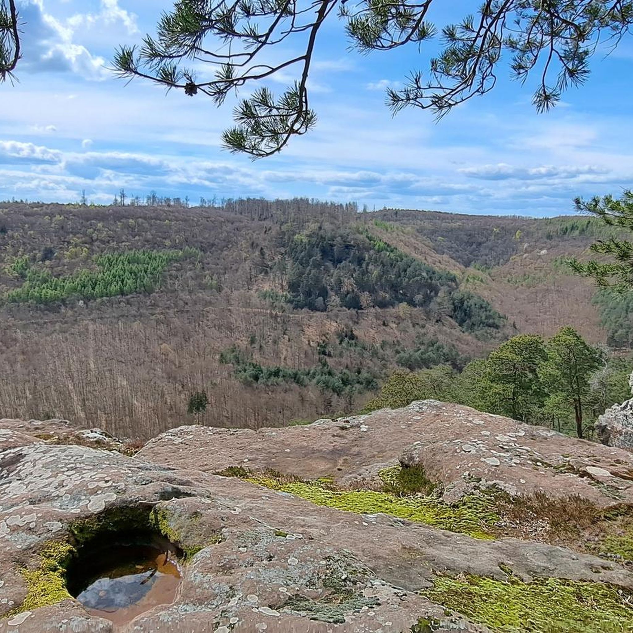
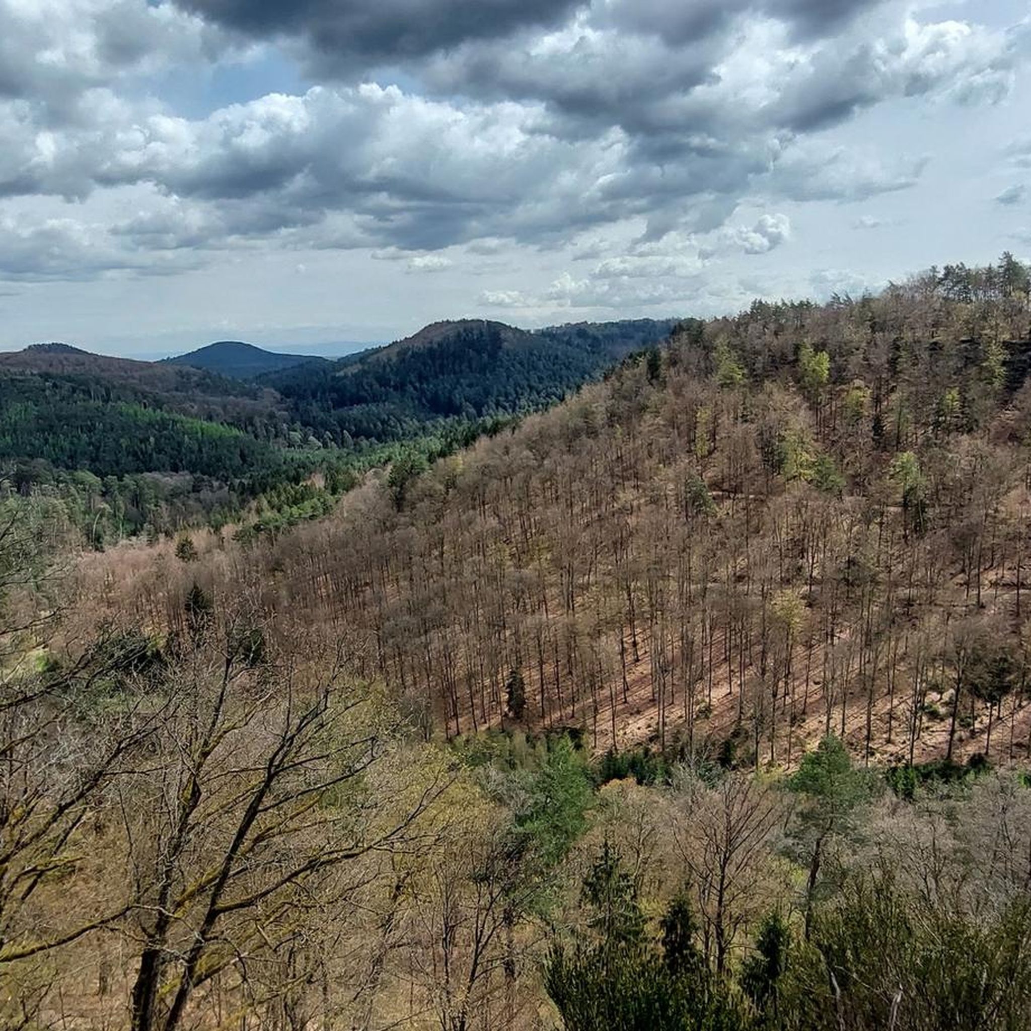

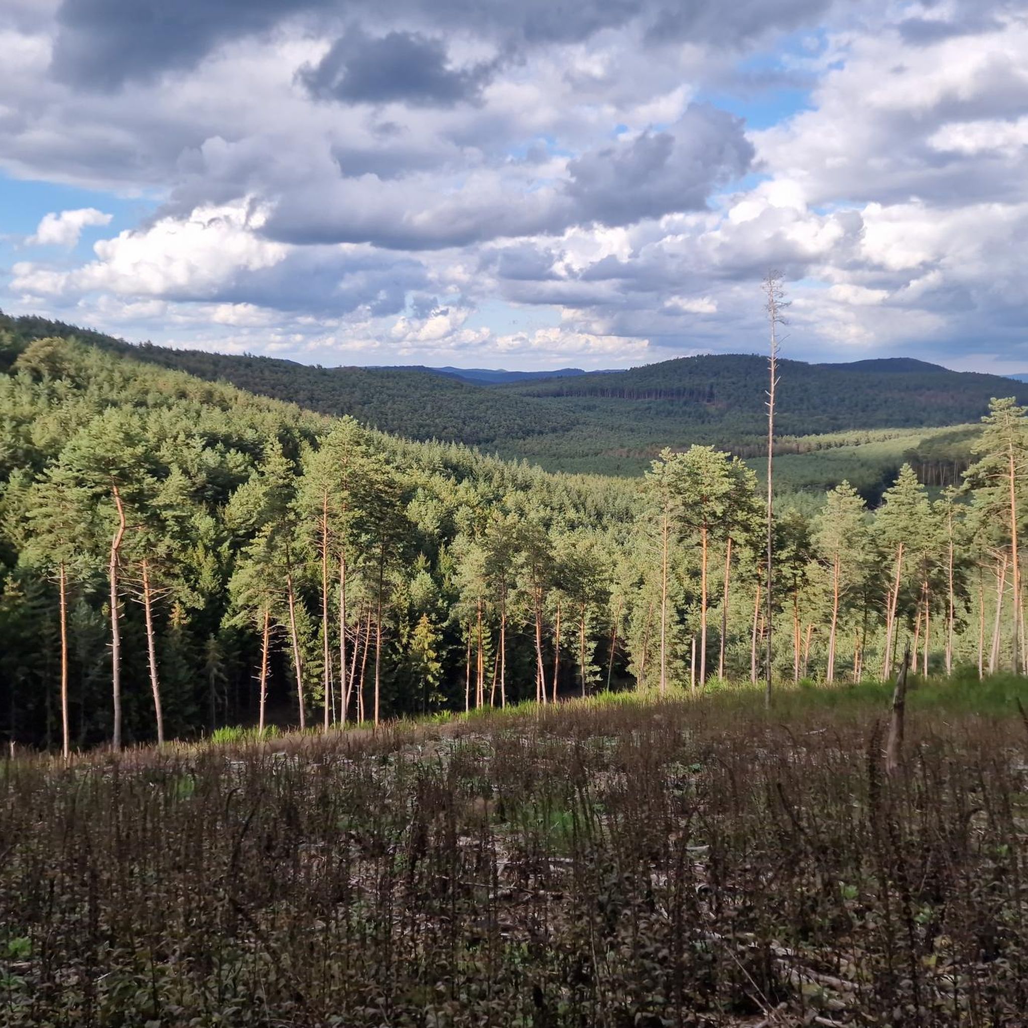

Tips from the Community

Although the few remaining ruins of this structure are called a castle, it appears that the site was first used as a Roman temple and then as a Christian church. Nearby are superb rock formations typical of the Northern Vosges Mountains.
1
0

Very beautiful places in the calm of the forest
0
0


The remains are not the ruins of a small castle, as the popular name might suggest, but rather the remains of a Roman or Gallo-Roman sanctuary from the 2nd century, with a second phase of use in the 4th century. It may have later been used as a Christian church. In Curt Mündel's guide to the Vosges Mountains (1911 edition), the ruins are referred to as "Meisenbacher Schlössel," and the rock below as "Ochsenstall" (Oxen Stable), probably because the rock overhang was formerly used as a shelter for cattle.
0
0
Among the many rock formations characteristic of the Vosges, this rock stands out for its tunnel shape. Enough to make your hike a little more enjoyable!
2
0

The Ochsenstall Rock offers an exhilarating mountain biking experience with its rugged terrain and steep slopes. The highlight of your ride is the Ochsenstall Cave, an intriguing little cavern located beneath the rock formations. This cave, carved out by natural forces, offers a moment of exploration and a unique view of the surrounding landscape. It is the perfect place to take a break.
1
0

A beautiful place. What I don't understand: How can you be so ignorant and put a pile of shit garnished with lots of speed right behind the rocks 😡😡
6
1
Frequently Asked Questions
How many hiking trails are available around Weiterswiller?
There are over 400 hiking routes around Weiterswiller, offering a wide variety of options for different skill levels and preferences. This includes 138 easy, 214 moderate, and 57 difficult trails.
Are there easy hiking trails suitable for beginners or families in Weiterswiller?
Yes, Weiterswiller offers numerous easy trails perfect for beginners or families. One such option is the Grotte d'Amour – Château de Hunebourg loop from Saverne, which is 3.4 miles (5.4 km) long and leads through forest paths to historical sites.
What are the typical lengths and durations of hikes in the Weiterswiller area?
Hikes around Weiterswiller vary significantly in length and duration. You can find shorter walks like the Grotte d'Amour – Château de Hunebourg loop from Saverne, which takes about 1 hour 36 minutes, to longer, more challenging routes such as the Ochsenstall Rock – Tunnel Rock loop from Erckartswiller, which is 8.7 miles (14.0 km) and typically takes around 3 hours 50 minutes.
What kind of scenery can I expect on the hiking trails around Weiterswiller?
The hiking trails around Weiterswiller are characterized by diverse landscapes, including rolling hills, dense woodlands, and notable rock formations. Many routes offer scenic viewpoints, historical sites, and a mix of open and forested terrain.
Are there any circular hiking routes in Weiterswiller?
Yes, many of the trails in Weiterswiller are circular, allowing you to start and end at the same point. Examples include the Ochsenstall Rock – View from Englishberg loop from Sparsbach and the Ochsenstall Rock – Tunnel Rock loop from Sparsbach.
What are some interesting landmarks or attractions to see along the hiking trails?
Hikers can explore several interesting landmarks. The Ochsenstall Rock is a prominent natural feature. You might also encounter historical sites like Graufthal Troglodyte Houses or Lichtenberg Castle, depending on your chosen route.
What do other hikers say about the trails in Weiterswiller?
The trails in Weiterswiller are highly regarded by the komoot community, holding an average rating of 4.4 stars from over 2,400 reviews. Hikers frequently praise the well-maintained paths, the beautiful forest scenery, and the variety of routes available for all skill levels.
Is Weiterswiller a good destination for dog-friendly hiking?
Weiterswiller's extensive network of forest paths and open trails makes it generally suitable for hiking with dogs. Many routes offer natural surroundings where dogs can enjoy the outdoors. Always ensure your dog is on a leash where required and respect local wildlife.
What is the best season for hiking in Weiterswiller?
The spring and autumn months are particularly pleasant for hiking in Weiterswiller, with mild temperatures and vibrant natural colors. Summer offers warm weather for exploring, while winter can provide opportunities for peaceful walks, though some paths may be muddy or icy.
Are there any less crowded hiking trails in Weiterswiller?
While popular routes can see more visitors, Weiterswiller has over 400 trails, meaning there are many opportunities to find quieter paths. Exploring some of the less-known local loops or visiting during off-peak hours can help you discover more secluded hiking experiences.
Are there places to eat or cafes near the hiking trails in Weiterswiller?
While specific cafes directly on every trail are not guaranteed, the villages and towns surrounding Weiterswiller, such as Saverne or La Petite-Pierre, offer various dining options and cafes where you can refuel before or after your hike. Some routes might pass by local huts or shelters.
Most popular routes around Weiterswiller
Most popular attractions around Weiterswiller

Get inspired with the komoot mobile app


Explore more
Browse the best Hikes in other regions.
