The best running trails around Trambly
4.4
(5)
413
runners
99
runs
Jogging routes around Trambly traverse a landscape characterized by significant elevation changes, with many trails leading through mountainous terrain. The region features prominent hills such as Montagne de Saint-Cyr, which stands at 771 meters, offering challenging ascents and descents. Runners can expect to encounter a mix of forest paths and open areas, with some routes passing by natural features like Étang du Paluet. This varied topography provides a robust environment for experienced runners seeking challenging running trails Bourgogne-Franche-Comté.
Best jogging…
Last updated: May 20, 2026
1
runners
15.6km
02:03
530m
530m
A difficult 9.7-mile (15.6 km) jogging loop from Matour, featuring panoramic views from Montagne Saint-Cyr and diverse forest scenery.
11
runners
18.4km
02:26
660m
660m
Hard run. Very good fitness required. Mostly paved surfaces. Suitable for all skill levels.

Sign up for free
9
runners
10.3km
01:16
310m
310m
Hard run. Very good fitness required. Mostly paved surfaces. Suitable for all skill levels.
7
runners
10.5km
01:11
170m
170m
Moderate run. Good fitness required. Mostly paved surfaces. Suitable for all skill levels.
9
runners
20.6km
02:36
620m
620m
Hard run. Very good fitness required. Mostly paved surfaces. Suitable for all skill levels.
Get access to more routes and recommendations from other explorers.
Sign up for free
Already have an account?
Our route recommendations are based on thousands of hikes, rides, and runs completed by other people on komoot.
Start today with a free account
Your next adventure awaits.
Login or Signup
Tips from the Community

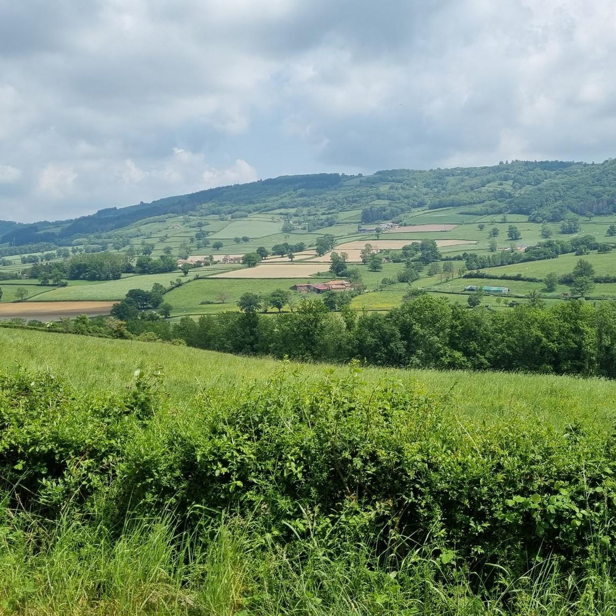
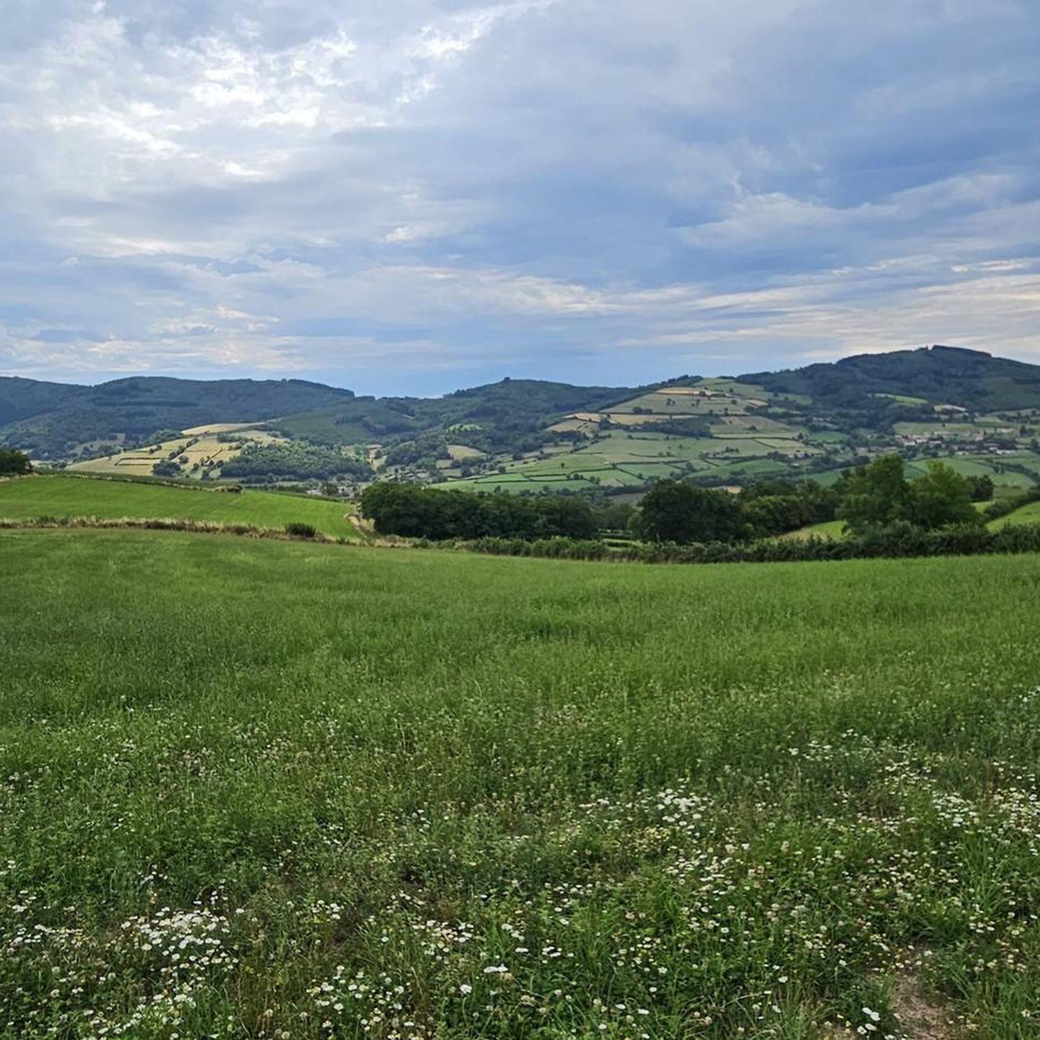
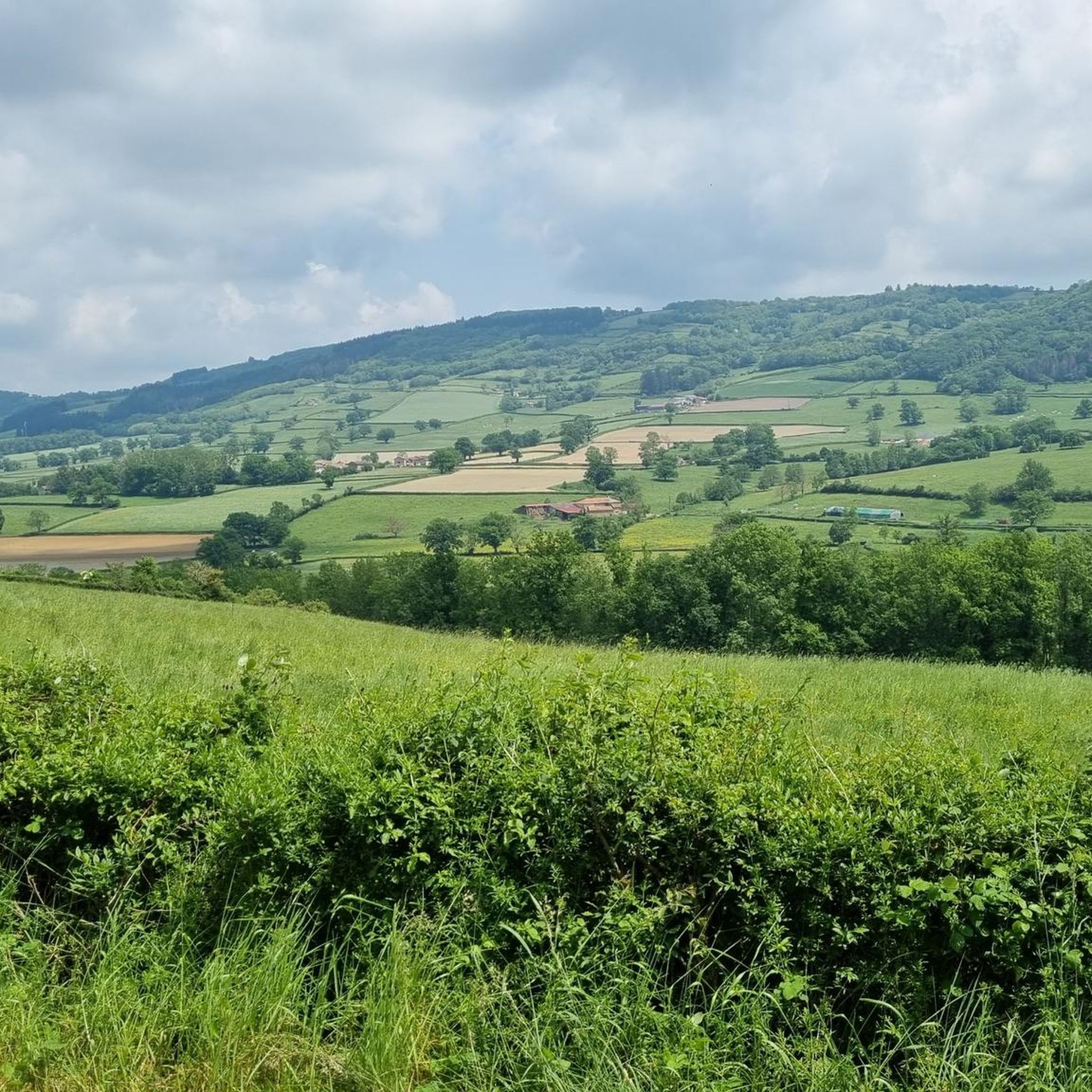
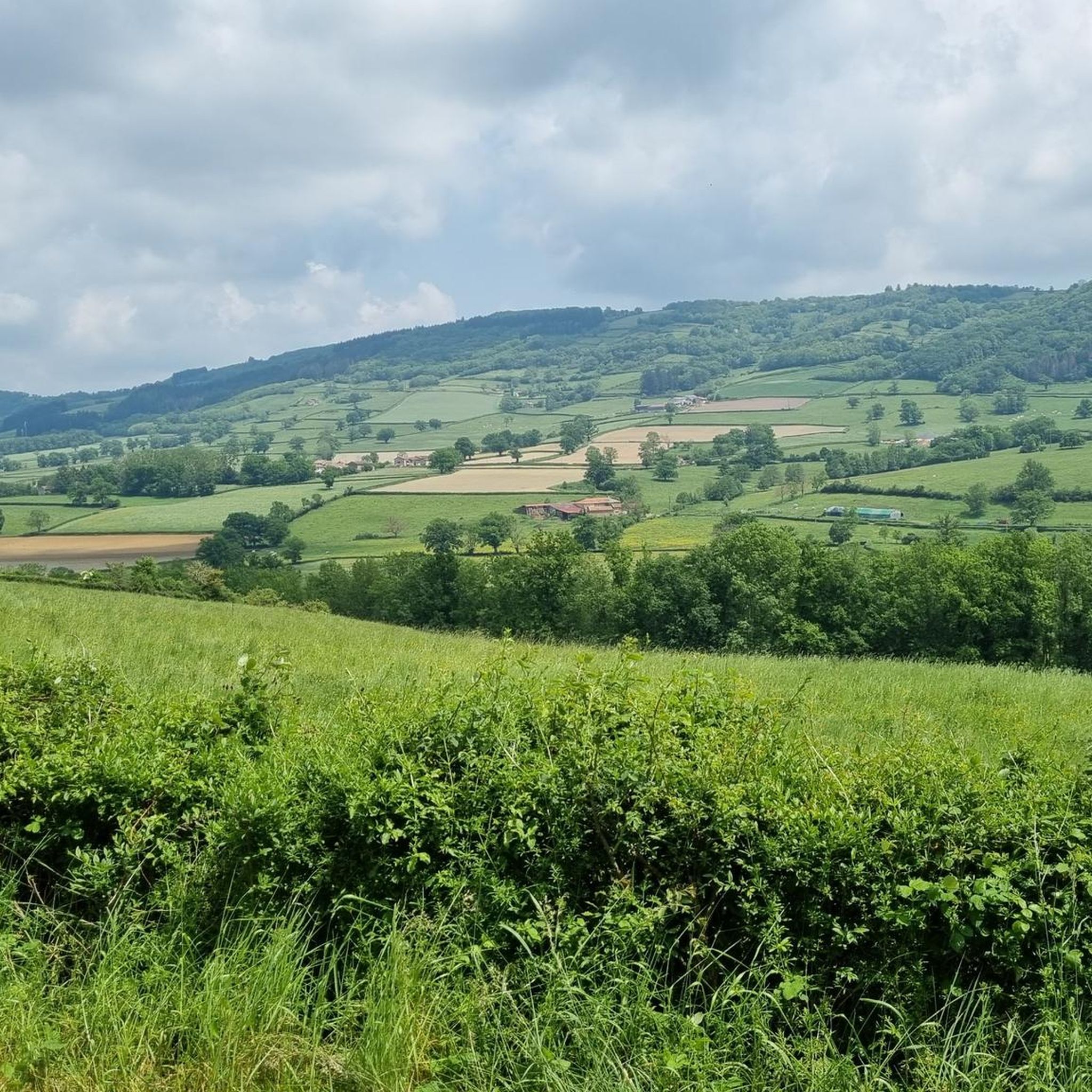
Impressive views over southern Burgundy and Haut-Beaujolais
0
0

A view of the Clunisois countryside...
0
0

A very steep climb from Montmelard, not much fun by bike. View is good, best very early or in the evening.
0
0

Mont Saint-Cyr, with its 771 m, is the highest point of the Mâconnais mountains. From its summit, you can enjoy a 360° view of the surroundings and even of the Alps when the weather allows it.
2
0
Mont Saint-Cyr, at 771 m, is the highest point of the Mâconnais mountains. From its summit, you can enjoy a 360° view of the surroundings and even of the Alps when the weather allows it.
3
0


It is a tough climb to the viewpoint, but the reward is a superior view on the landscape and a nice are to take a rest
1
0
Frequently Asked Questions
What is the general difficulty level of running trails in Trambly?
Running routes around Trambly are predominantly challenging, with many featuring significant elevation changes through mountainous terrain. Out of nearly 100 routes, 47 are classified as difficult and 47 as moderate, making it an ideal region for experienced runners. There are also 4 easy routes available for those seeking a less strenuous run.
What are the typical distances for running routes in Trambly?
The running routes in Trambly vary significantly in length. For example, the Montagne de Saint-Cyr Loop is about 9.7 miles (15.6 km), while the Montagne Saint-Cyr loop from Matour extends to 18.7 miles (30.1 km). You'll find a range of distances to suit different training goals.
Are there running routes in Trambly suitable for beginners?
While many routes in Trambly are challenging, there are 4 routes classified as easy. These offer a gentler introduction to running in the region, often on less steep terrain or shorter distances, allowing beginners to enjoy the natural surroundings without excessive difficulty.
Where can experienced runners find challenging trails in Trambly?
Experienced runners will find plenty of challenging options in Trambly. Routes like the Montagne de Saint-Cyr Loop and the extensive Montagne Saint-Cyr loop from Matour feature substantial elevation gains and cover significant distances, traversing prominent hills such as Montagne de Saint-Cyr and Signal d'Argaud.
What kind of scenery can I expect on running trails around Trambly?
Running trails in Trambly offer diverse scenery, characterized by significant elevation changes. You'll encounter a mix of dense forest paths and open areas, with routes often providing panoramic views from hills like Montagne de Saint-Cyr. Some paths also lead past natural features such as Étang du Paluet, offering a blend of woodland and water landscapes.
Are there any circular running routes available in Trambly?
Yes, many of the popular running routes in Trambly are circular, allowing you to start and finish at the same point. Examples include the Montagne de Saint-Cyr Loop and the Étang du Paluet – Col de la Croix d'Auterre loop from Matour, which are designed for convenient round trips.
What do other runners enjoy most about jogging in Trambly?
The komoot community highly rates the running experience in Trambly, with an average score of 4.4 stars from 5 reviews. Runners often praise the challenging mountain trails, the variety of forest paths, and the scenic routes near lakes. The diverse terrain and robust environment are frequently highlighted as key attractions.
Are there any interesting landmarks or attractions near the running routes?
Yes, several points of interest are located near the running routes. You might encounter the Tunnel du bois clair or the Bois clair tunnel. The prominent Mount St. Cyr is also a significant landmark and often part of challenging routes, offering great views.
What is the best time of year to go running in Trambly?
Given the region's significant elevation changes and varied terrain, spring and autumn generally offer the most pleasant conditions for running in Trambly, with milder temperatures and beautiful foliage. Summer can be warm, especially on exposed sections, while winter might present challenges with colder temperatures and potentially slippery paths, though specific conditions vary.
Are there any running routes that pass by water features like lakes or rivers?
Yes, some running routes in Trambly incorporate water features. For instance, the Étang du Paluet – Col de la Croix d'Auterre loop from Matour and the Étang du Paluet – Signal d'Argaud loop from Matour both pass by Étang du Paluet, offering scenic views of the lake during your run.
Can I find running routes that are less frequented or considered 'hidden gems' in Trambly?
While specific 'hidden gems' are subjective, exploring the less-trafficked moderate routes (47 available) or using komoot's route planner to customize your own path can lead you to quieter, less-known sections of Trambly's diverse landscape. These often provide a more secluded running experience away from the most popular trails.
Most popular attractions around Trambly

Get inspired with the komoot mobile app


Explore more
Browse the best Running Trails & Routes in other regions.
