The best running trails around Montagny-Sur-Grosne
4.5
(6)
480
runners
101
runs
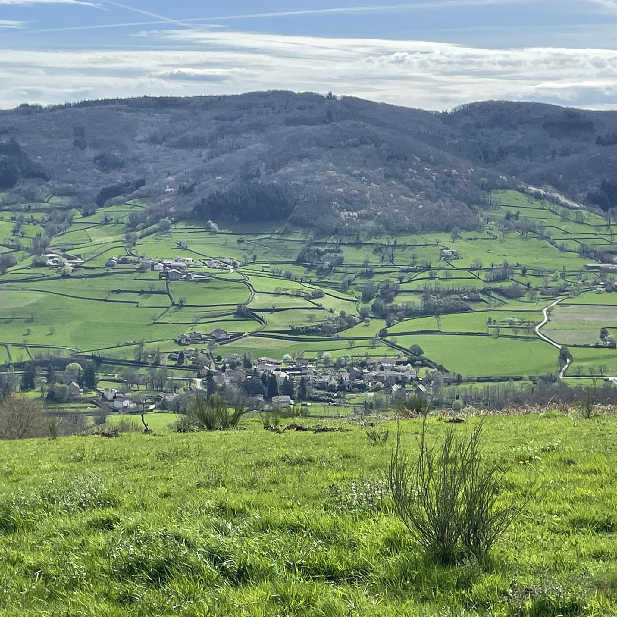
Jogging routes around Montagny-sur-Grosne traverse a diverse landscape characterized by bocage, dense forests, and the scenic Grosne River valley. The region's hilly terrain, with the village itself perched on an elevation, provides varied running conditions and offers views over the surrounding countryside. A network of established paths and trails, including those through private estates, makes the area suitable for exploring on foot.
Best jogging routes around Montagny-Sur-Grosne
- The most popular jogging route is Route de Montmelard loop from Dompierre-les-Ormes,…
Last updated: July 1, 2026
3.0
(1)
22
runners
19.0km
02:20
440m
440m
Hard run. Very good fitness required. Mostly paved surfaces. Suitable for all skill levels.
18
runners
4.80km
00:34
80m
80m
Easy run. Great for any fitness level. Mostly paved surfaces. Suitable for all skill levels.

Sign up for free
16
runners
28.8km
03:44
880m
880m
Hard run. Very good fitness required. Mostly paved surfaces. Suitable for all skill levels.
5.0
(1)
5
runners
8.43km
00:57
150m
150m
Moderate run. Good fitness required. Mostly paved surfaces. Suitable for all skill levels.
5
runners
18.1km
02:12
470m
460m
Hard run. Very good fitness required. Mostly paved surfaces. Suitable for all skill levels.
Get access to more routes and recommendations from other explorers.
Sign up for free
Already have an account?
Our route recommendations are based on thousands of hikes, rides, and runs completed by other people on komoot.
Start today with a free account
Your next adventure awaits.
Login or Signup
Tips from the Community

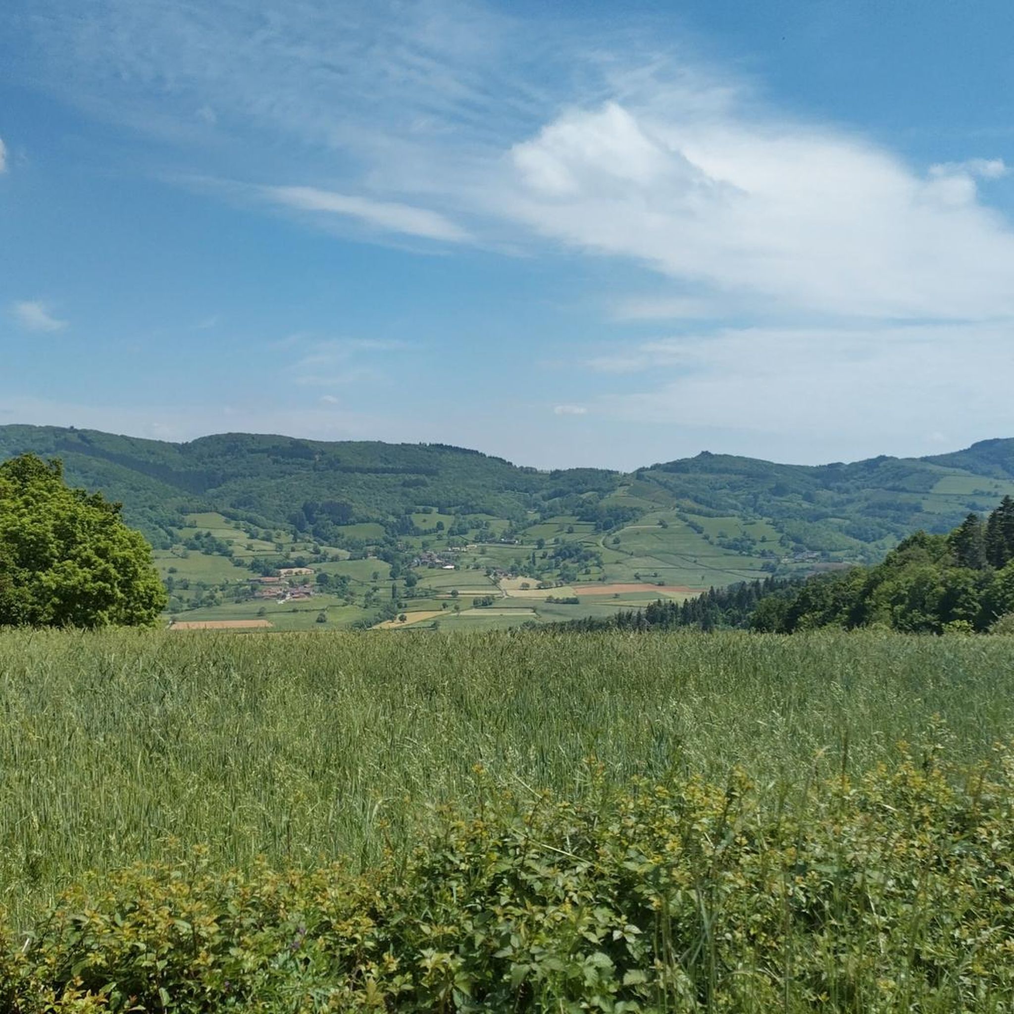
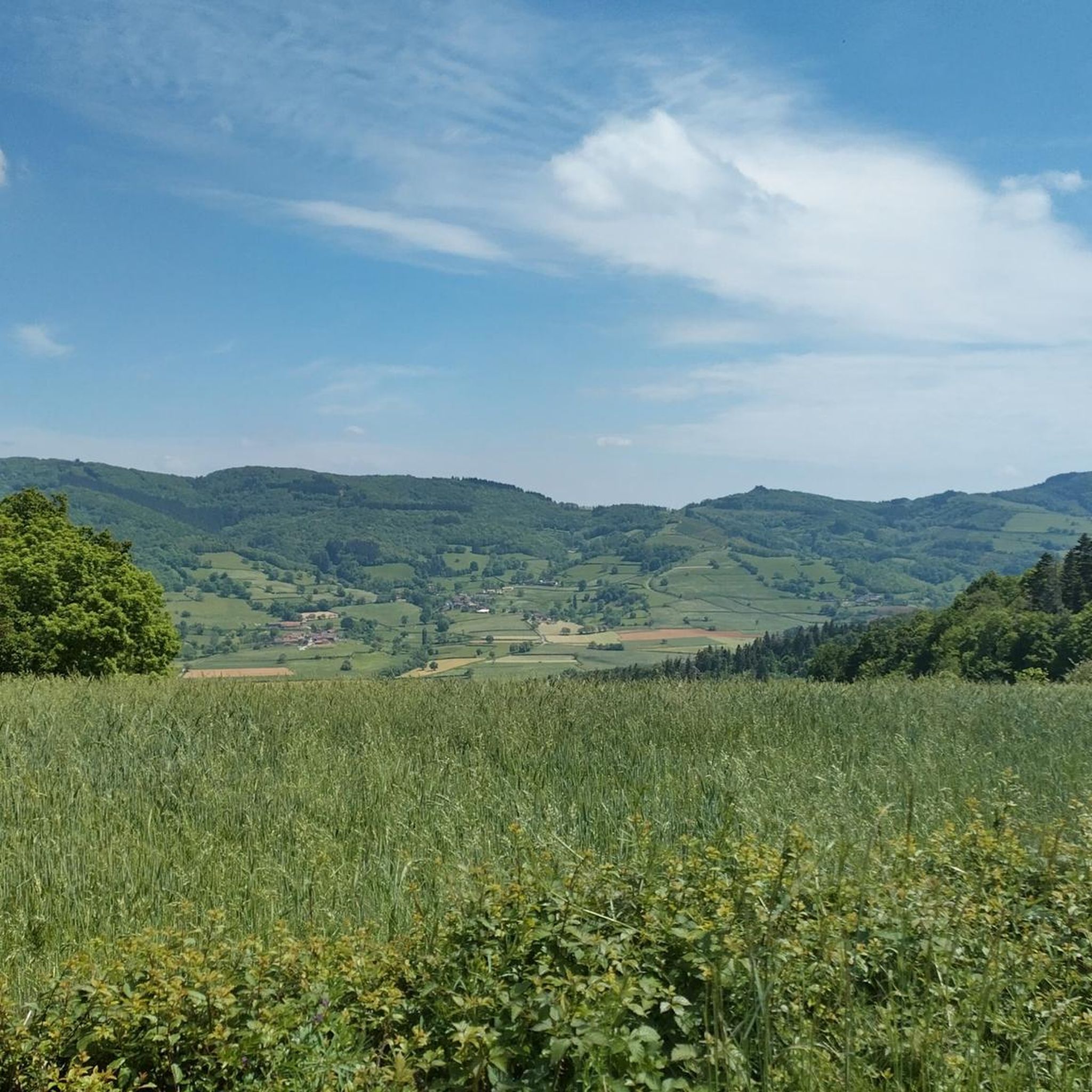
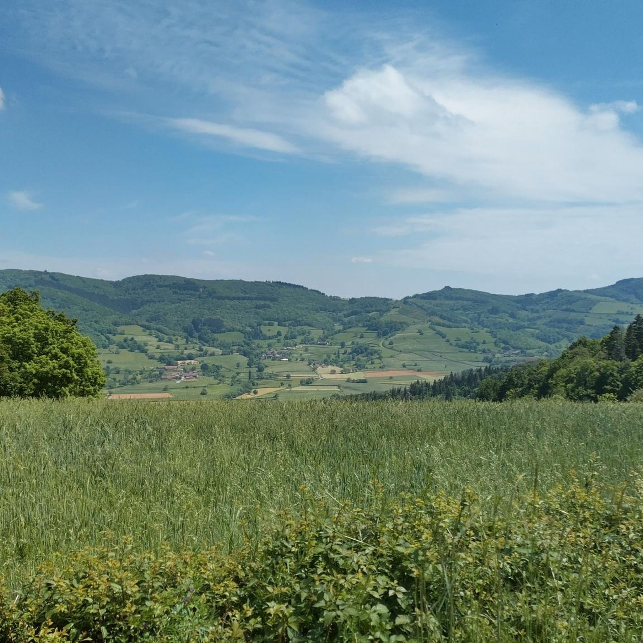
Mont Saint-Cyr is located in southern Burgundy (Département Saône-et-Loire) in the municipality of Montmelard and, at 771 meters, is the highest point in the Mâconnais mountains. From the summit, there is a wide panoramic view of the surrounding landscapes of Charolais, Brionnais, and Clunisois. In very clear weather, the view to the east even extends to Mont Blanc in the Alps. On the mountain are the historical remains of a 10th-century monastery that was destroyed during the Huguenot Wars. There is a picnic area in the forest, as well as orientation panels that are helpful in identifying the surrounding peaks and valleys.
0
0
Mont Saint-Cyr is located in southern Burgundy (Saône-et-Loire department) in the municipality of Montmelard and, at 771 meters, is the highest point of the Mâconnais mountains. From the summit, there is a wide panoramic view of the surrounding landscapes of Charolais, Brionnais, and Clunisois. In very clear weather, the view extends eastwards to Mont Blanc in the Alps. On the mountain are the historical remains of a 10th-century monastery, which was destroyed during the Huguenot Wars. There is a picnic area in the forest as well as orientation panels that are helpful in identifying the surrounding peaks and valleys.
0
0

Impressive views over southern Burgundy and Haut-Beaujolais
1
0

A very steep climb from Montmelard, not much fun by bike. View is good, best very early or in the evening.
1
0

Mont Saint-Cyr, with its 771 m, is the highest point of the Mâconnais mountains. From its summit, you can enjoy a 360° view of the surroundings and even of the Alps when the weather allows it.
3
0
Mont Saint-Cyr, at 771 m, is the highest point of the Mâconnais mountains. From its summit, you can enjoy a 360° view of the surroundings and even of the Alps when the weather allows it.
4
0


It is a tough climb to the viewpoint, but the reward is a superior view on the landscape and a nice are to take a rest
2
0
Frequently Asked Questions
How many running routes are available in Montagny-sur-Grosne?
There are over 100 dedicated running routes around Montagny-sur-Grosne listed on komoot, offering a wide variety of distances and difficulties for all levels of runners.
What kind of terrain can I expect on the jogging routes around Montagny-sur-Grosne?
The region offers a diverse landscape for jogging. You'll find routes traversing picturesque bocage, dense forests, and the scenic Grosne River valley. Given the village's elevated position, many trails also feature hilly terrain, providing both a good workout and expansive views.
Are there easy jogging routes suitable for beginners in Montagny-sur-Grosne?
Yes, there are several easy jogging routes. For instance, the Étang de la Vernée loop from Dompierre-les-Ormes is an easy 2.9 miles (4.7 km) path that circles a tranquil pond, offering a relatively flat and accessible running experience.
Are there challenging running trails for experienced runners?
Absolutely. For those seeking a more demanding run, routes like the Route de Montmelard loop from Dompierre-les-Ormes cover 11.8 miles (19.0 km) with significant elevation changes, making it a difficult and rewarding option. Another challenging trail is the Montagne Saint-Cyr – Mount St. Cyr loop from Dompierre-les-Ormes, which is nearly 18 miles (28.8 km) long and features substantial hilly terrain.
What do other runners say about the trails in Montagny-sur-Grosne?
The running routes in Montagny-sur-Grosne are highly rated by the komoot community, with an average score of 4.4 stars from over 5 reviews. Runners often praise the varied terrain, the natural beauty of the bocage and forests, and the rewarding views over the Grosne valley.
Are there any circular jogging routes in the area?
Yes, many of the running routes in Montagny-sur-Grosne are designed as loops, allowing you to start and finish at the same point. Examples include the Étang de la Vernée loop and the Montagne Saint-Cyr – Mount St. Cyr loop, providing convenient options for your run.
Can I bring my dog on the running trails in Montagny-sur-Grosne?
While many trails in the Burgundy region are dog-friendly, it's always best to check local signage or specific route details on komoot for any restrictions, especially when passing through private estates or nature reserves. Generally, dogs on a leash are welcome on most public paths.
Are there family-friendly jogging paths in Montagny-sur-Grosne?
For families, the easier, shorter loops are ideal. The Étang de la Vernée loop, for instance, is an easy 2.9 miles (4.7 km) and offers a pleasant, flat path suitable for a family outing. The network of meandering walking trails throughout the countryside also provides many gentle options.
What natural features or viewpoints can I see while jogging?
Jogging in Montagny-sur-Grosne offers stunning natural scenery. You'll encounter the unique bocage landscape, extensive forests (including those of Château d'Ouilly and d'Esmyard), and the picturesque Grosne River valley. The village's elevated position provides rewarding views over the valley and opposing hills, especially from the circuit that ascends towards the Saint-Fiacre church.
Are there any historical landmarks or attractions along the running routes?
While the focus is on natural beauty, you can incorporate some local charm into your run. A suggested village circuit starts at the lavoir, ascends to the charming Saint-Fiacre church, and passes a restored bread oven before reaching the town hall. For other nearby points of interest, consider exploring the Tunnel du bois clair (though primarily for cyclists/pedestrians) or the historic town of Tramayes.
Where can I find parking for the jogging routes in Montagny-sur-Grosne?
Parking is generally available within the village of Montagny-sur-Grosne, often near public amenities like the town hall or church, which can serve as convenient starting points for local circuits. For routes starting from nearby villages like Dompierre-les-Ormes, designated parking areas are usually available in the village centers.
What is the best time of year to go jogging in Montagny-sur-Grosne?
The region is beautiful year-round, but spring and autumn offer particularly pleasant conditions for jogging with milder temperatures and vibrant scenery. Summer can be warm, so early morning or late afternoon runs are advisable. Winter runs are also possible, with the bocage and forest trails providing a serene, crisp experience.
Are there any long-distance running options in the area?
Yes, for those looking for longer runs, the region offers several extensive routes. The Montagne Saint-Cyr – Mount St. Cyr loop is a significant 17.9 miles (28.8 km) trail, and the Château d'Audour loop from Trambly covers 18.1 miles (29.1 km), providing excellent options for endurance training.
Most popular routes around Montagny-Sur-Grosne
Most popular attractions around Montagny-Sur-Grosne

Get inspired with the komoot mobile app


Explore more
Browse the best Running Trails & Routes in other regions.
