The best MTB trails around Saint-Laurent-En-Brionnais
4.4
(34)
110
riders
28
rides
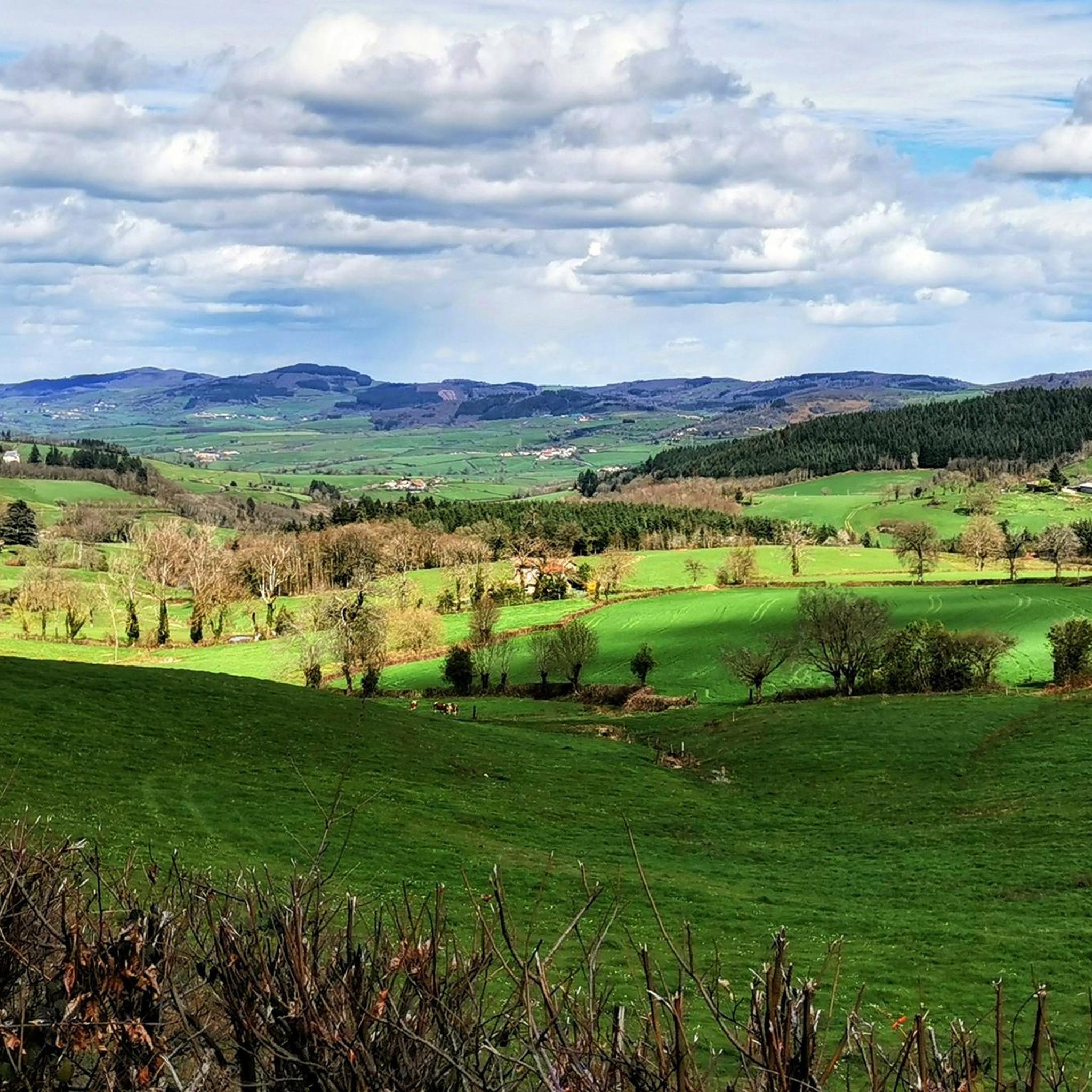
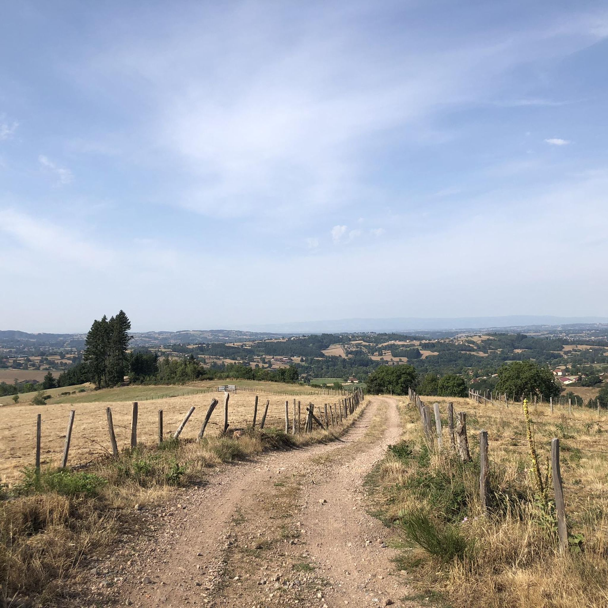
Mountain bike trails around Saint-Laurent-En-Brionnais traverse a diverse landscape characterized by rolling hills, verdant countryside, and a network of forests. The region, situated in the Saône-et-Loire department of Burgundy, France, offers varied terrain suitable for mountain biking, with elevations contributing to both challenging climbs and scenic descents. Trails often weave through oak and beech forests, providing a mix of natural surfaces and panoramic views.
Best mountain bike trails around Saint-Laurent-En-Brionnais
- The most popular mountain bike trail is Anzy loop from…
Last updated: July 1, 2026
4.3
(4)
8
riders
39.3km
03:17
690m
690m
Moderate mountain bike ride. Good fitness required. Suitable for all skill levels.
4.2
(6)
11
riders
32.1km
02:47
620m
620m
Moderate mountain bike ride. Good fitness required. Advanced riding skills necessary.

Sign up for free
5.0
(2)
4
riders
30.4km
02:49
710m
720m
Moderate mountain bike ride. Good fitness required. Advanced riding skills necessary.
4.0
(1)
3
riders
23.5km
02:13
630m
630m
Moderate mountain bike ride. Good fitness required. Suitable for all skill levels.
5
riders
46.5km
04:33
1,250m
1,250m
Hard mountain bike ride. Very good fitness required. Advanced riding skills necessary.
Get access to more routes and recommendations from other explorers.
Sign up for free
Already have an account?
Our route recommendations are based on thousands of hikes, rides, and runs completed by other people on komoot.
Start today with a free account
Your next adventure awaits.
Login or Signup


Tips from the Community

Mont Saint-Cyr is located in southern Burgundy (Département Saône-et-Loire) in the municipality of Montmelard and, at 771 meters, is the highest point in the Mâconnais mountains. From the summit, there is a wide panoramic view of the surrounding landscapes of Charolais, Brionnais, and Clunisois. In very clear weather, the view to the east even extends to Mont Blanc in the Alps. On the mountain are the historical remains of a 10th-century monastery that was destroyed during the Huguenot Wars. There is a picnic area in the forest, as well as orientation panels that are helpful in identifying the surrounding peaks and valleys.
0
0
Mont Saint-Cyr is located in southern Burgundy (Saône-et-Loire department) in the municipality of Montmelard and, at 771 meters, is the highest point of the Mâconnais mountains. From the summit, there is a wide panoramic view of the surrounding landscapes of Charolais, Brionnais, and Clunisois. In very clear weather, the view extends eastwards to Mont Blanc in the Alps. On the mountain are the historical remains of a 10th-century monastery, which was destroyed during the Huguenot Wars. There is a picnic area in the forest as well as orientation panels that are helpful in identifying the surrounding peaks and valleys.
0
0


Great walk. Beautiful view with picnic tables and tap with drinking water. However, NOT an easy walk. You must be able to walk well.
0
0

Impressive views over southern Burgundy and Haut-Beaujolais
1
0

This priory church is classified as a historic monument. It was built between the end of the 11th century and the beginning of the 12th. Its octagonal bell tower is characteristic and the church is among the most beautiful expressions of Romanesque art in the department. The sculptures are particularly numerous.
1
0

Wonderful stage stop on my Camino https://huettemann.eu/de/2023/10/von-cluny-an-die-loire-berndscamino/
0
0

A very steep climb from Montmelard, not much fun by bike. View is good, best very early or in the evening.
1
0
Frequently Asked Questions
How many mountain bike trails are available around Saint-Laurent-En-Brionnais?
There are over 25 mountain bike trails in the Saint-Laurent-En-Brionnais area, offering a diverse range of options for different skill levels. These include 2 easy routes, 20 moderate routes, and 3 difficult routes.
What kind of terrain can I expect on mountain bike trails in Saint-Laurent-En-Brionnais?
The terrain around Saint-Laurent-En-Brionnais is characterized by rolling hills, dense woodlands, and open pastures. You'll find a mix of natural surfaces, with trails weaving through oak and beech forests, offering both challenging climbs and scenic descents. The region is known for its unspoiled countryside.
Are there any easy mountain bike trails suitable for beginners or families?
Yes, there are easy mountain bike trails available. For a more relaxed ride, consider the Saint-Bonnet-de-Cray loop from Saint-Bonnet-de-Cray, which is 14.1 km long and takes approximately 1 hour 9 minutes to complete with an elevation gain of 218 meters.
What are some challenging mountain bike trails for experienced riders?
For experienced riders seeking a challenge, the Our Lady of Fatima loop from Chauffailles is a difficult 57.0 km path with a significant elevation gain of 1372 meters, typically taking around 5 hours 2 minutes. This trail offers technical sections through forested areas and open landscapes.
What do other mountain bikers say about the trails in Saint-Laurent-En-Brionnais?
The mountain bike routes in Saint-Laurent-En-Brionnais are highly rated by the komoot community, with an average score of 4.4 stars from over 31 reviews. Riders often praise the varied terrain, the quiet woodlands, and the picturesque views of the Brionnais countryside.
Are there any circular mountain bike routes in the area?
Yes, many of the trails are designed as loops. Examples include the Anzy loop from Oyé, a moderate 39.3 km route, and the Saint Hugues Castle loop from Saint-Christophe-en-Brionnais, which is 32.1 km long.
What kind of natural features or viewpoints can I expect along the trails?
The region offers expansive vistas and verdant countryside. From elevated points, such as the hamlet of Les Révillets, you can enjoy panoramic views. Trails often wind through oak and beech forests, providing a peaceful natural setting. You might also encounter Mount Dun, a notable summit in the area.
Are there any historical landmarks or attractions near the mountain bike trails?
Yes, the area has several historical points of interest. You can find the 12th-century Romanesque church in Saint-Laurent-en-Brionnais itself. Other nearby attractions include the View of Château de La Clayette and Drée Castle. The village of Saint-Bonnet-de-Cray is also a charming settlement to explore.
When is the best time of year for mountain biking in Saint-Laurent-En-Brionnais?
The region's verdant countryside and forests are enjoyable throughout the warmer months. Spring and autumn generally offer pleasant temperatures and beautiful scenery, with less extreme heat than summer. The trails are well-suited for riding when conditions are dry.
Is there information available about parking for mountain bike trails?
While specific parking details for each trailhead are best found on individual route pages, Saint-Laurent-en-Brionnais and surrounding villages typically offer public parking options. It's advisable to check the starting point of your chosen route for the most convenient parking.
Are there any facilities or services for mountain bikers in Saint-Laurent-En-Brionnais?
Saint-Laurent-en-Brionnais is a small village, but the wider Saône-et-Loire region is well-equipped for outdoor activities. For more detailed information on local amenities, including potential bike rentals or repair shops, you may wish to consult the local tourism office, such as the one for Sud Brionnais at tourisme-sudbrionnais.fr.
What is the average elevation gain on mountain bike trails in this region?
The elevation gain varies significantly depending on the trail's difficulty. Easy routes like the Saint-Bonnet-de-Cray loop have around 218 meters of ascent, while more difficult trails such as the Our Lady of Fatima loop can feature over 1300 meters of elevation gain, reflecting the region's rolling hills.
Most popular routes around Saint-Laurent-En-Brionnais
Most popular attractions around Saint-Laurent-En-Brionnais

Get inspired with the komoot mobile app


Explore more
Browse the best MTB trails in other regions.
