The best road cycling routes around Astert
4.7
(242)
1,659
riders
160
rides
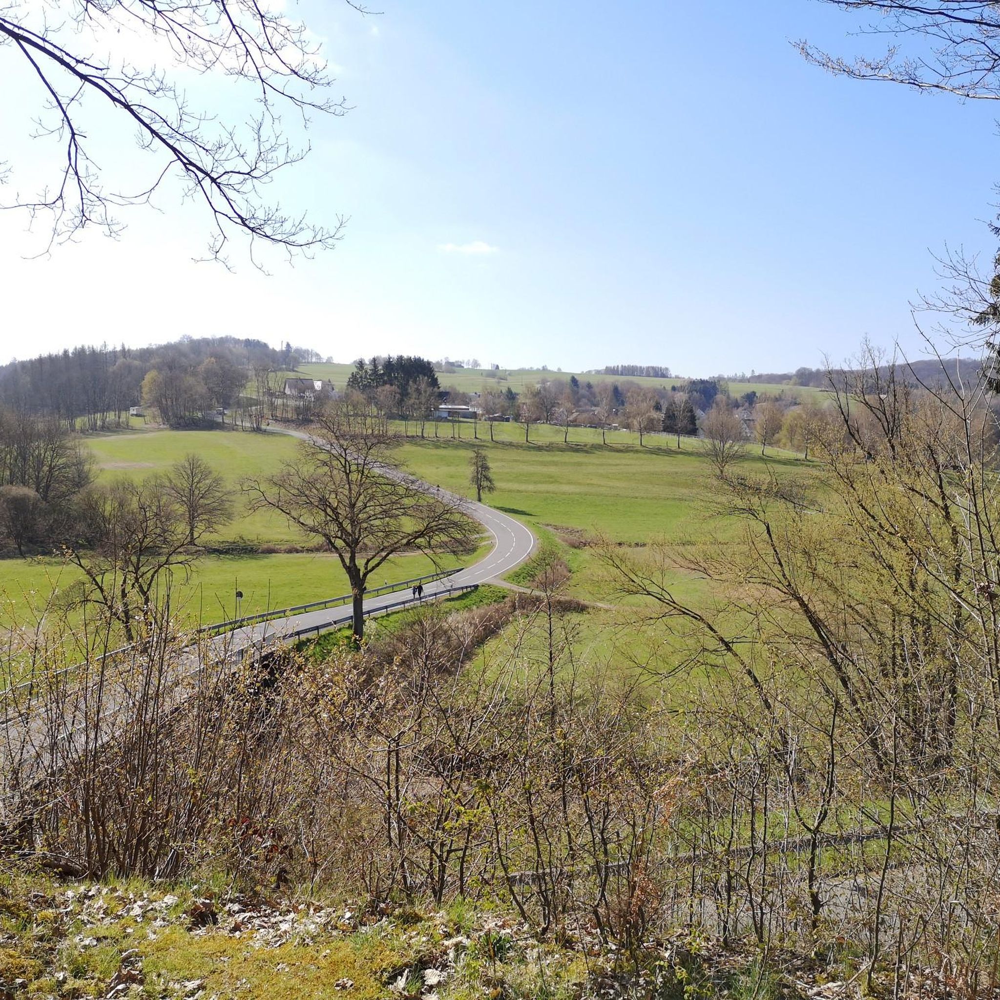
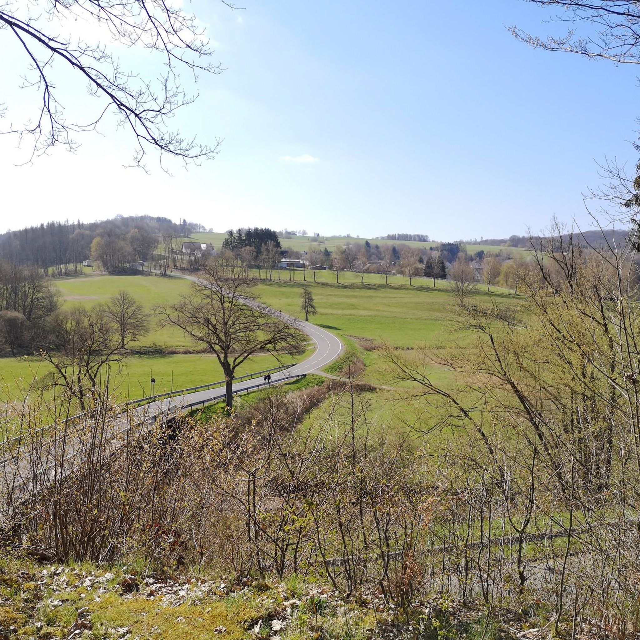
Road cycling routes around Astert traverse a landscape characterized by rolling hills, dense woodlands, and numerous ponds. The region features varied elevations, with routes often including significant climbs and descents. This terrain provides a mix of challenges and scenic stretches for road cyclists.
Best road cycling routes around Astert
- The most popular road cycling route is Road to Hanwerth – Eulenturm (Lower Tower) Dierdorf loop from Hattert, a 37.4 miles (60.1 km) trail that takes 2 hours 47 minutes…
Last updated: October 8, 2026
4.6
(26)
61
riders
60.7km
02:45
650m
650m
Moderate road ride. Good fitness required. Mostly well-paved surfaces and easy to ride.
4.5
(2)
14
riders
27.1km
01:26
490m
490m
Moderate road ride. Good fitness required. Mostly well-paved surfaces and easy to ride.

5.0
(2)
8
riders
93.6km
04:29
1,140m
1,140m
Hard road ride. Very good fitness required. Some segments of this route may be unpaved and difficult to ride.
9
riders
55.9km
02:31
560m
560m
Moderate road ride. Good fitness required. Mostly well-paved surfaces and easy to ride.
5
riders
53.8km
02:48
730m
730m
Moderate road ride. Good fitness required. Some segments of this route may be unpaved and difficult to ride.
Get access to more routes and recommendations from other explorers.
Already have an account?
Our route recommendations are based on thousands of hikes, rides, and runs completed by other people on komoot.
Start today with a free account
Your next adventure awaits.

Tips from the Community

Here it goes upstream through the Nister valley
0
0

In the heart of Höchstenbach, bordered by two main roads, stands the Protestant parish church of St. George. The originally single-nave, late Romanesque church is crowned by an octagonal spire. In 1952, wall paintings were uncovered in the apse, presumably dating from the 13th century, depicting Christ as the Judge of the World surrounded by symbols from the Gospels and figures of saints. The galleries of St. George's Church date from the 18th century, while the pulpit dates back to the second half of the 17th century. A visit is highly recommended. Source: www.ich-geh-wandern.de
0
0

A magnificent church building. The interior was also accessible for a short prayer service.
0
0
A beautiful historical ensemble. You can still easily imagine life in prehistoric times here.
0
0

House on the lake at Dreifelder Weiher
1
0

Great road, nice and quiet on a Whitsun Sunday, very idyllic
0
0

this place is wonderful
0
0

Built in 1235 as the castle chapel of Isenburg
0
0
Frequently Asked Questions
What kind of terrain can I expect on road cycling routes around Astert?
The region around Astert is characterized by rolling hills, dense woodlands, and numerous ponds. Routes often feature varied elevations, including significant climbs and descents, providing a mix of challenges and scenic stretches for road cyclists.
Are there road cycling routes suitable for beginners in Astert?
Yes, while many routes involve varied elevations, there are options for beginners. The area offers 5 easy road cycling routes. For a moderate introduction, consider routes like the Climb Near Luckenbach – View of the Siebengebirge loop from Hattert, which is 16.6 miles (26.7 km) long.
Where can I find challenging road cycling routes in the Astert area?
Astert offers 55 difficult road cycling routes for experienced cyclists. A challenging option is the Dreifelder Pond – View of Haidenweiher loop from Hattert, a 58.4 miles (94.0 km) trail with significant elevation gain, typically completed in about 4 hours 29 minutes.
What are the typical lengths and durations of road cycling routes around Astert?
Road cycling routes in Astert vary significantly. You can find shorter, moderate paths like the 16.6-mile (26.7 km) Climb Near Luckenbach – View of the Siebengebirge loop from Hattert, which takes about 1 hour 27 minutes. Longer routes, such as the 58.4-mile (94.0 km) Dreifelder Pond – View of Haidenweiher loop from Hattert, can take over 4 hours.
Are there any circular road cycling routes or loops around Astert?
Yes, many of the road cycling routes around Astert are designed as loops. Examples include the popular Road to Hanwerth – Eulenturm (Lower Tower) Dierdorf loop from Hattert and the Barbaraturm Observation Tower – View of Bad Marienberg loop from Hattert.
What scenic viewpoints or attractions can I see along the road cycling routes?
Many routes offer scenic views, such as the panoramic vistas towards the Siebengebirge mountains from the Climb Near Luckenbach – View of the Siebengebirge loop from Hattert. You might also pass by historical sites like the Hachenburg Old Town and Market Square or the Ruins of Burg Vroneck (Froneck-Nister).
What do other road cyclists enjoy most about road cycling in Astert?
The road cycling routes in Astert are highly rated by the komoot community, with an average score of 4.7 stars from over 200 reviews. Cyclists often praise the varied terrain, the mix of challenging climbs and scenic stretches, and the beautiful natural surroundings of rolling hills and woodlands.
Are there any historical sites or caves near the road cycling routes?
Yes, the region has several interesting historical sites and caves. You could explore the Assberg slate mine or the Grube Edelstein Visitor Mine. Nearby castles and ruins include the Hachenburg Old Town and Market Square and the Ruins of Burg Vroneck (Froneck-Nister).
What is the best season for road cycling around Astert?
The varied landscape of Astert is enjoyable throughout the warmer months. Spring and autumn offer pleasant temperatures and beautiful scenery with blooming nature or vibrant fall colors. Summer is also suitable, though some climbs might be more strenuous in direct sunlight.
Are there less crowded road cycling options available in Astert?
While some popular routes can see more traffic, Astert offers a wide network of 175 road cycling routes. Exploring some of the less-known moderate or difficult trails, or cycling during off-peak hours, can help you find quieter stretches through the woodlands and rolling hills.
How many road cycling routes are available around Astert in total?
There are over 175 road cycling routes available around Astert, catering to various skill levels from easy to difficult, ensuring a diverse range of options for every cyclist.
Most popular attractions around Astert

Get inspired with the komoot mobile app


Explore more
Browse the best Road cycling routes in other regions.
