The best road cycling routes around Völlerdingen
4.6
(73)
1,224
riders
162
rides
Road cycling around Völlerdingen, located in the Bas-Rhin department of northeastern France, offers a diverse range of terrain for cyclists. The region is characterized by its network of canals, including the Canal des Houillères de la Sarre and the Saar River, providing flat, paved cycling paths. Beyond the waterways, the area transitions into more hilly circuits, with access to portions of the Northern Vosges Regional Natural Park. This combination of flat canal routes and ascents through varied landscapes caters to…
Last updated: July 8, 2026
18
riders
196km
08:32
1,270m
1,270m
Hard road ride. Very good fitness required. Some segments of this route may be unpaved and difficult to ride.
3.0
(1)
18
riders
150km
06:37
1,260m
1,260m
Hard road ride. Very good fitness required. Some segments of this route may be unpaved and difficult to ride.

Sign up for free
15
riders
Moderate road ride. Good fitness required. Some segments of this route may be unpaved and difficult to ride.
10
riders
90.9km
04:14
660m
660m
Moderate road ride. Good fitness required. Some segments of this route may be unpaved and difficult to ride.
7
riders
46.1km
02:03
430m
430m
Moderate road ride. Good fitness required. Mostly well-paved surfaces and easy to ride.
Get access to more routes and recommendations from other explorers.
Sign up for free
Already have an account?
Our route recommendations are based on thousands of hikes, rides, and runs completed by other people on komoot.
Start today with a free account
Your next adventure awaits.
Login or Signup

Tips from the Community

Boundary stone between the departments of Moselle and Bas-Rhin, also the old border between Alsace and Lorraine
0
0

Is located directly on the Friendship Bridge between Kleinblittersdorf 🇩🇪 and Grosbliedersdorf🇫🇷.
0
0


Saverne was already a Roman military post in the 4th century. From the 15th century until the French Revolution, Saverne was the residence of the powerful bishops of Strasbourg. The Château de Rohan, which boasts the longest neoclassical façade of any building in France, still bears witness to this.
1
0

Border between the departments of Moselle (57) and Bas-Rhin (67), as well as the regions of Lorraine and Alsace.
0
0

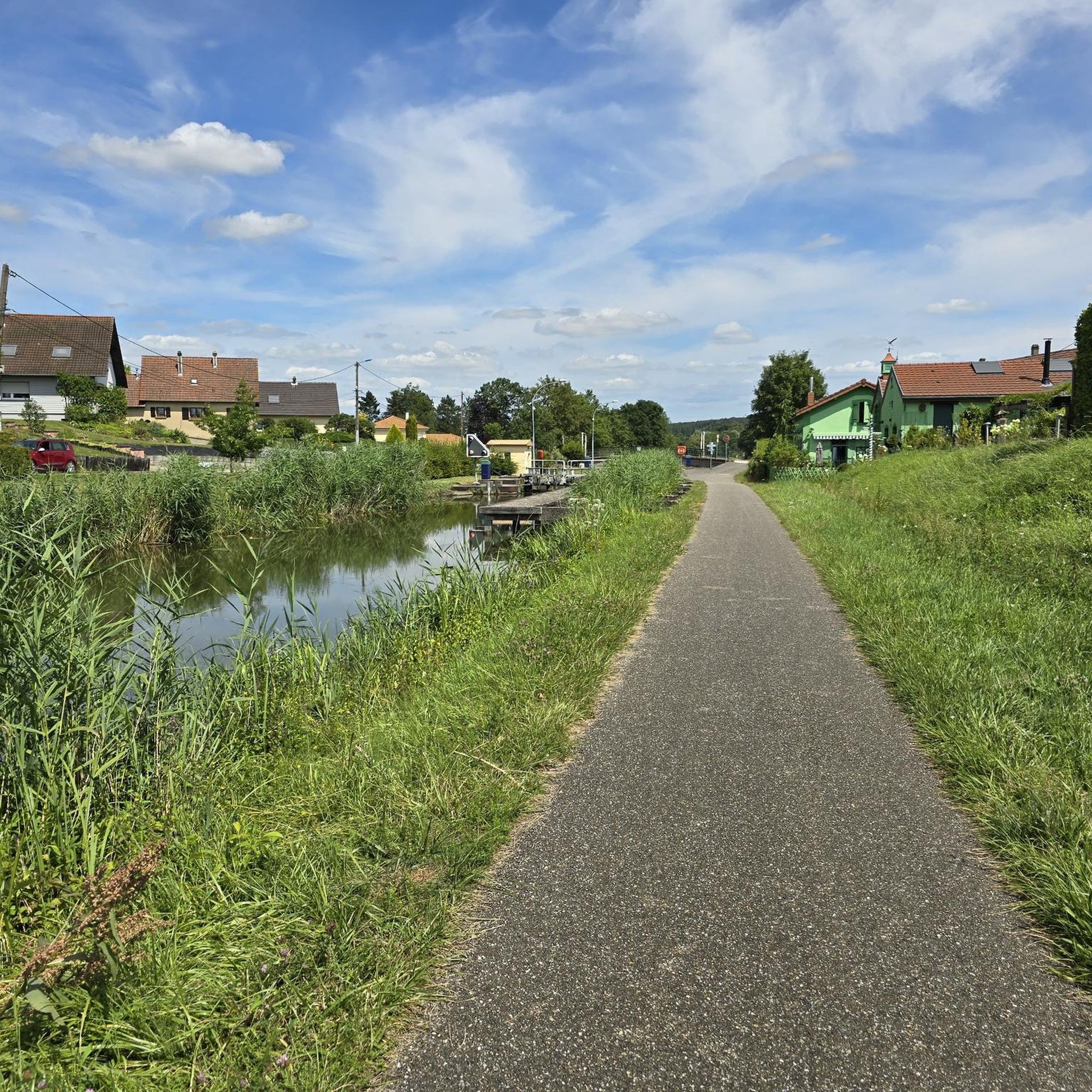
Lock for ships still in operation
0
0

The Maginot Line: The French Wall | ARTE https://youtu.be/Bvtxa08ysgc For those who want to know more about the Maginot Line: de.wikipedia.org/wiki/Liste_der_Ouvrages_der_Maginot-Linie
1
0

Remains of the interwar period, this bunker, also called a casemate or blockhouse, is located along the Maginot Line.
0
0
Frequently Asked Questions
How many road cycling routes are available around Völlerdingen?
There are over 160 road cycling routes available around Völlerdingen on komoot, catering to a wide range of preferences and fitness levels. This includes 30 easy routes, 97 moderate routes, and 34 difficult routes.
What kind of terrain can I expect on road cycling routes in Völlerdingen?
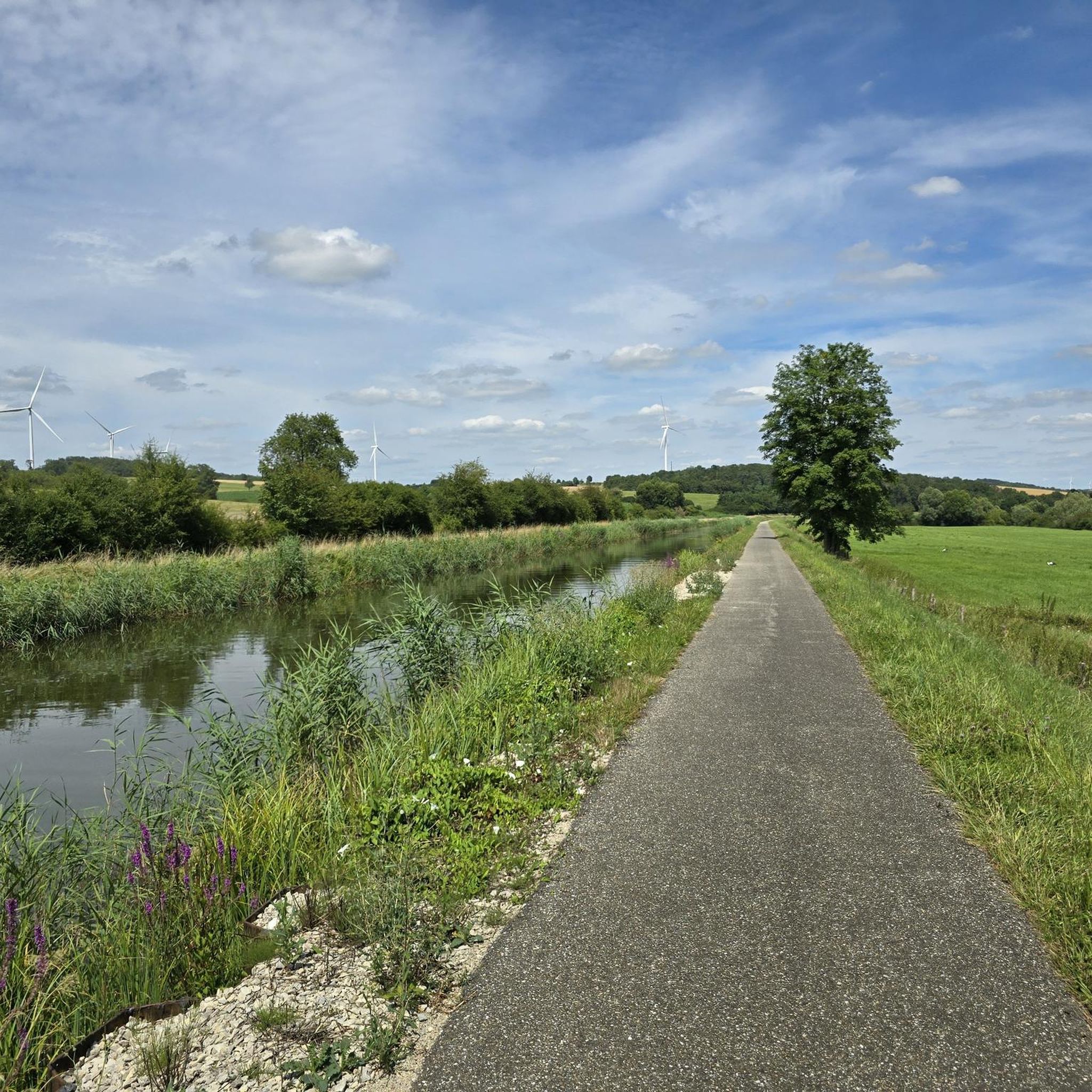
Völlerdingen offers a diverse mix of terrain. You'll find flat, paved cycling paths along the region's canals, such as the Saar Coal Canal at Dieding and the Canal des Houillères de la Sarre, as well as routes following the Cycle path along the Saar. Beyond the waterways, the area transitions into more rolling hills, particularly as you approach the Northern Vosges Regional Natural Park.
Are there road cycling routes suitable for beginners or families in Völlerdingen?
Yes, Völlerdingen has 30 easy road cycling routes perfect for beginners or families. These often follow the flat, paved sections along the canals and rivers, providing a relaxed and scenic experience. The 'Saar loop from Oermingen (Bissert lock)' mentioned in the region research is a good example of a route suitable for all fitness levels.
What options are there for experienced road cyclists seeking a challenge?
For experienced road cyclists, Völlerdingen offers 34 difficult routes with significant elevation gain. Routes like the Saverne – Saar Cycle Path loop from Oermingen, a challenging 118.2-mile (190.2 km) ride with over 3,800 feet (1,174 m) of ascent, provide extensive views and a demanding workout. Another option is the La Petite Pierre – Sarreguemines loop from Diemeringen, which covers 85.5 miles (137.6 km) with over 3,300 feet (1,005 m) of climbing.
When is the best time of year to go road cycling in Völlerdingen?
The spring and summer months are generally ideal for road cycling in Völlerdingen, offering pleasant temperatures and longer daylight hours. The region's canals and river paths are particularly enjoyable during these seasons. Autumn can also be beautiful with changing foliage, though cooler temperatures and potential rain should be considered.
Are there any circular road cycling routes in the Völlerdingen area?
Yes, many of the road cycling routes around Völlerdingen are designed as loops, allowing you to start and finish in the same location. Examples include the 'Saar loop from Oermingen (Bissert lock)' and the 'Grand Pond of Mittersheim loop from Sarre-Union (Ecluse des belles fôrets)' mentioned in the region research, which are largely on paved surfaces.
What notable landmarks or natural features can I see while road cycling near Völlerdingen?
While road cycling near Völlerdingen, you can explore a rich blend of natural beauty and historical sites. The routes often follow picturesque canals like the Canal des Houillères de la Sarre and the tranquil Saar River. You can also pass through the Sarralbe Town Centre, where you might spot the Saint-Martin Church with its distinctive twin towers.
What do other road cyclists enjoy the most about road cycling in Völlerdingen?
The road cycling experience in Völlerdingen is highly rated by the komoot community, with an average score of 4.76 stars from over 70 reviews. Cyclists often praise the region's diverse terrain, from the flat and scenic canal paths to the more challenging hilly sections leading towards the Northern Vosges. The variety allows for rides catering to all fitness levels.
Are there routes that lead through the Northern Vosges Regional Natural Park?
Yes, portions of the Northern Vosges Regional Natural Park are easily accessible from Völlerdingen, offering road cyclists routes with more challenging ascents and scenic landscapes. The Puberg Pass – Fitness trail loop from Diemeringen, a 34.9-mile (56.2 km) route with over 1,950 feet (594 m) of elevation, is an example of a ride that takes you through hilly terrain in the region.
Can I find routes that are predominantly paved for a smooth road cycling experience?
Absolutely. Many routes in Völlerdingen, especially those along the canals and the Saar River, are predominantly paved. The 'Tour of the French Saar' mentioned in the region research is a moderate ride on predominantly paved surfaces, suitable for those who prefer a smooth road cycling experience.
Are there any moderate road cycling routes that offer a good balance of distance and challenge?
Yes, Völlerdingen has 97 moderate road cycling routes. The La Petite Pierre – La Petite-Pierre loop from Diemeringen is a great example, covering 37.4 miles (60.1 km) with over 1,700 feet (528 m) of elevation, offering a balanced ride. Another moderate option is the Graufthal Troglodyte Caves – Graufthal Troglodyte Houses loop from Oermingen, which is 58.4 miles (94 km) long with over 2,300 feet (722 m) of climbing.
Most popular routes around Völlerdingen
Most popular attractions around Völlerdingen

Get inspired with the komoot mobile app


Explore more
Browse the best Road cycling routes in other regions.
