The best cycling routes around Gereuth
4.4
(1679)
10,912
riders
345
rides
Touring cycling routes around Gereuth are characterized by varied terrain, including significant elevation changes and forested areas. The region features numerous hills and valleys, offering diverse landscapes for cyclists. Many routes traverse scenic countryside, providing opportunities to explore both natural beauty and historical points of interest.
Best touring cycling routes around Gereuth
- The most popular touring cycling route is Champ du Feu – Col de Steige loop from Thanvillé, a 28.5 miles (45.9 km) trail that takes 3 hours…
Last updated: June 21, 2026
4.7
(3)
42
riders
45.9km
03:14
910m
910m
Hard bike ride. Very good fitness required. Mostly paved surfaces. Suitable for all skill levels.
3.7
(14)
98
riders
37.2km
03:31
820m
820m
Hard bike ride. Very good fitness required. You may need to push your bike for some segments of this route.

Sign up for free
22
riders
Hard bike ride. Very good fitness required. Mostly paved surfaces. Suitable for all skill levels.
21
riders
57.5km
03:43
680m
680m
Hard bike ride. Very good fitness required. Mostly paved surfaces. Suitable for all skill levels.
17
riders
27.8km
02:26
570m
570m
Hard bike ride. Very good fitness required. Mostly paved surfaces. Suitable for all skill levels.
Get access to more routes and recommendations from other explorers.
Sign up for free
Already have an account?
Our route recommendations are based on thousands of hikes, rides, and runs completed by other people on komoot.
Start today with a free account
Your next adventure awaits.
Login or Signup

Tips from the Community

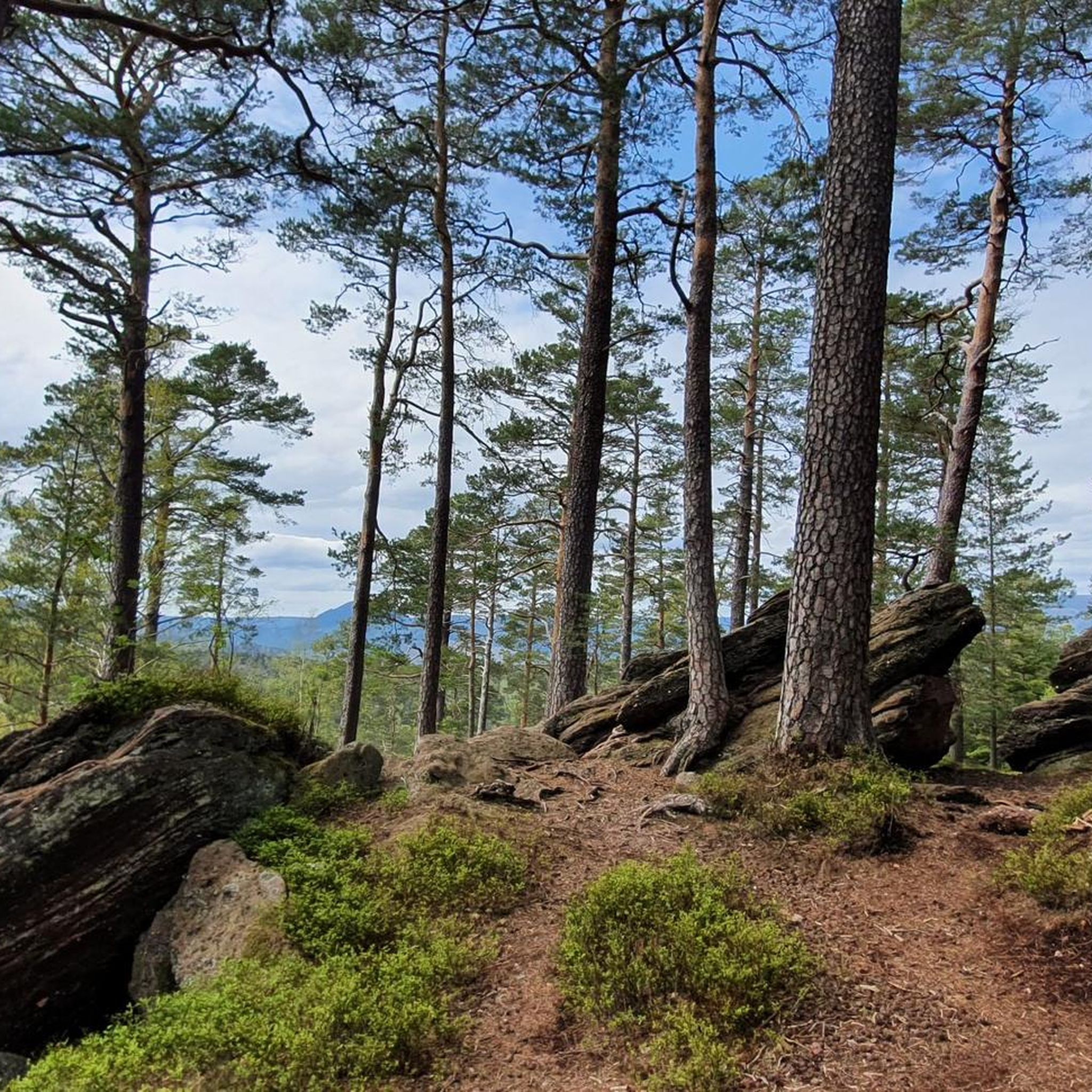
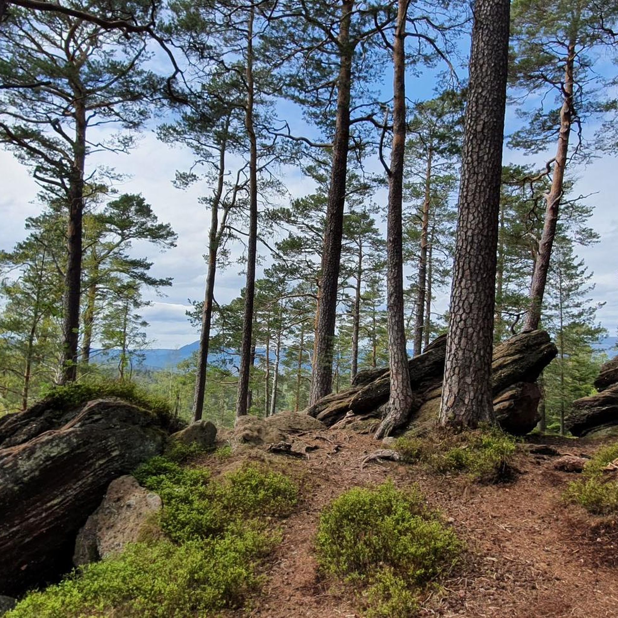
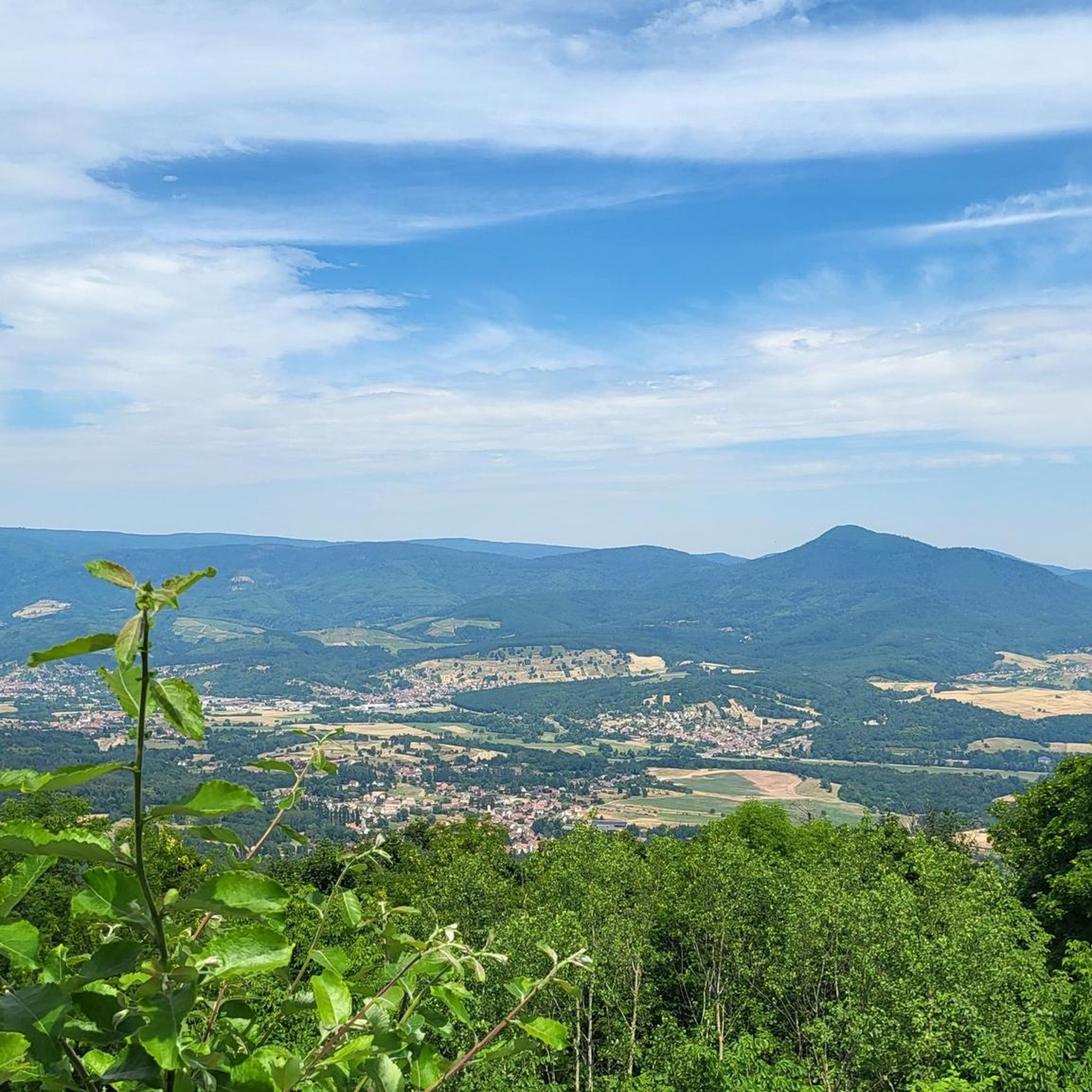
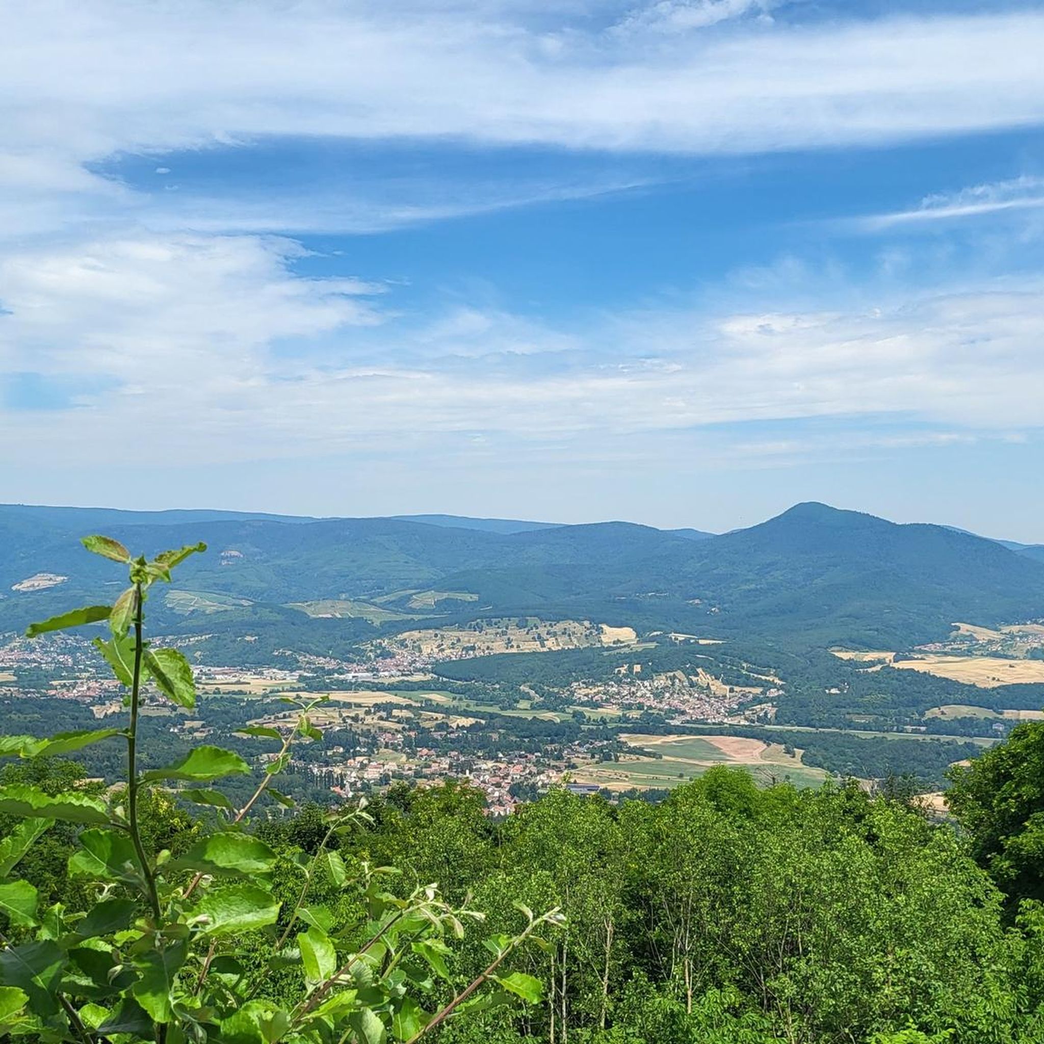
The Champ du Feu, at 1099 meters, is the highest mountain in the Bas-Rhin department in the Vosges in Alsace. It is located between the towns of Belmont and Le Hohwald and consists of a vast plateau with forests, meadows, and moorlands. The area is a popular nature and recreational area. In summer, it is mainly used for hiking, mountain biking, and nature observation. In winter, there is a small ski area with cross-country trails and simple slopes for winter sports. From the Champ du Feu, the La Serva stream originates, which later forms the Cascade de la Serva. In clear weather, the summit offers wide views over the Vosges, the Rhine plain, and even the Black Forest. The area is particularly known for its quiet nature, high moors, sunrises and starry skies, as well as well-marked hiking trails.
0
0
Bernstein Castle ruins were built in the 12th century and served to monitor important trade routes in Alsace. Later, they lost their military significance, were damaged in the 17th century, and fell into ruin. Today, the ruins are freely accessible and a popular hiking destination offering panoramic views across the Rhine plain.
0
0


At the end of the ridge, at an altitude of 443 meters, lies Ortenbourg Castle, built between 1260 and 1265 by Rudolf Habsburg and one of the most beautiful ruins in the Rhine Valley. A masterpiece of military architecture, with its high gorge surrounding a 32-meter-long dungeon, it is visible from afar and blends perfectly into the landscape. This dungeon offered six levels of defensive fire, and its pentagonal design allowed for better deflection of attackers' projectiles. The recently founded association "Les sentinelles de l'Ortenbourg" (Ortenbourg Sentinels) aims to preserve, expand, and revitalize the castle.
8
0

Magnificent pass to climb from different slopes (Breitenbach, Steige, Vallée de la Bruche, Andlau). It is also a crossing point towards the Champ du feu, the Hohwald, the Mont Ste Odile.
0
0

The route is completely paved and essentially car-free, as signs prohibit it. Nevertheless, someone occasionally drives along here. The route is very pleasant and beautiful, tucked away in the forest.
0
0
The climb is on the other side of the hill. The sign indicates a decline. The climb or decline is 10 meters long, but probably less. Funny sign, otherwise a normal bike path.
0
0

Frequently Asked Questions
How many touring cycling routes are available in Gereuth?
There are over 360 touring cycling routes around Gereuth. These routes offer a variety of experiences, from moderate to difficult, traversing diverse landscapes with significant elevation changes and forested areas.
Are there touring cycling routes suitable for beginners or families in Gereuth?
Yes, Gereuth offers options for various skill levels. While many routes feature challenging climbs, there are over 100 easy routes and over 100 moderate routes available. For a less strenuous option, consider the Bike loop from Neubois, which is a moderate 17.6 km route with a manageable 152 meters of elevation gain.
What kind of terrain can I expect on touring cycling routes in Gereuth?
Touring cycling routes in Gereuth are characterized by varied terrain, including numerous hills and valleys, leading to significant elevation changes. You'll often find yourself on forested paths, enjoying scenic valley views, and encountering both natural beauty and historical points of interest.
Are there any circular touring cycling routes in Gereuth?
Many of the touring cycling routes in Gereuth are designed as loops, allowing you to start and finish at the same point. Examples include the challenging Ortenbourg Castle – Bernstein Castle loop from Thanvillé and the extensive Lone road advised for bicycle (almost bicycle path) – Bike route in forest loop from Thanvillé.
What are some notable natural sights or landmarks I can see along the touring cycling routes?
Gereuth's routes often pass by impressive natural monuments and mountain passes. You might encounter sights like the Reptile Rock, the Champ du Feu summit, or the Col de Steige. The region also features historical sites such as the Ortenbourg and Bernstein Castles.
What is the best time of year to go touring cycling in Gereuth?
The varied terrain of Gereuth, with its forested paths and elevation changes, is generally best enjoyed from spring through autumn. During these seasons, the weather is typically more favorable for cycling, and the natural landscapes are at their most vibrant. Winter cycling can be challenging due to potential snow and ice on higher elevations and forested trails.
Are there any challenging touring cycling routes for experienced cyclists?
Yes, Gereuth is well-suited for experienced cyclists seeking a challenge. Over 140 routes are rated as difficult, featuring substantial elevation gains. A prime example is the Champ du Feu – Col de Steige loop from Thanvillé, a 45.9 km route with over 900 meters of ascent, offering expansive views and demanding climbs.
What do other touring cyclists say about the routes in Gereuth?
The touring cycling routes in Gereuth are highly regarded by the komoot community, holding an average rating of 4.4 stars from over 1500 reviews. More than 11,000 touring cyclists have used komoot to explore the region, often praising the challenging climbs, forested paths, and scenic valley views.
Are there routes that offer scenic viewpoints or opportunities for refreshments?
Many routes in Gereuth traverse scenic countryside, providing numerous opportunities for panoramic views, especially from higher elevations and mountain passes like the Charbonnière Pass. While specific pub stops are not detailed for every route, the region's villages and towns often offer places to stop for refreshments.
What are the typical distances and elevation gains for touring cycling routes in Gereuth?
The routes vary significantly in length and elevation. You can find shorter, moderate loops like the Bike loop from Neubois at 17.6 km with 152 meters of ascent. Longer, more challenging routes, such as the View of Steige – View of Urbeis Valley loop from Thanvillé, can span over 57 km with more than 680 meters of elevation gain, offering substantial challenges.
Is public transport available to access the touring cycling routes in Gereuth?
While specific public transport connections directly to every trailhead are not detailed, many routes start from towns and villages within the region. It is advisable to check local public transport schedules for bus or train services that might connect to these starting points, especially if you plan to combine cycling with public transit.
Most popular attractions around Gereuth

Get inspired with the komoot mobile app


Explore more
Browse the best Cycling routes in other regions.
