The best road cycling routes around Norrent-Fontes
4.2
(35)
2,086
riders
255
rides
Road cycling routes around Norrent-Fontes traverse a landscape characterized by agricultural plains, gentle rolling hills, and river valleys. The region offers a mix of open countryside and routes passing through small villages and historical sites. Cyclists can expect varied terrain, from flat sections suitable for speed to moderate climbs, with elevation changes typically ranging from 5 meters to 211 meters. Marshlands and forests also contribute to the diverse natural settings available for exploration.
Best road cycling routes around Norrent-Fontes
- The…
Last updated: July 3, 2026
4.0
(1)
37
riders
63.5km
02:49
360m
360m
Moderate road ride. Good fitness required. Some segments of this route may be unpaved and difficult to ride.
5.0
(1)
17
riders
45.4km
01:57
250m
250m
Easy road ride. Great for any fitness level. Mostly well-paved surfaces and easy to ride.

Sign up for free
5.0
(1)
17
riders
75.8km
03:20
490m
490m
Moderate road ride. Good fitness required. Some segments of this route may be unpaved and difficult to ride.
18
riders
Moderate road ride. Good fitness required. Mostly well-paved surfaces and easy to ride.
14
riders
94.5km
03:52
420m
420m
Moderate road ride. Good fitness required. Mostly well-paved surfaces and easy to ride.
Get access to more routes and recommendations from other explorers.
Sign up for free
Already have an account?
Our route recommendations are based on thousands of hikes, rides, and runs completed by other people on komoot.
Start today with a free account
Your next adventure awaits.
Login or Signup




Tips from the Community

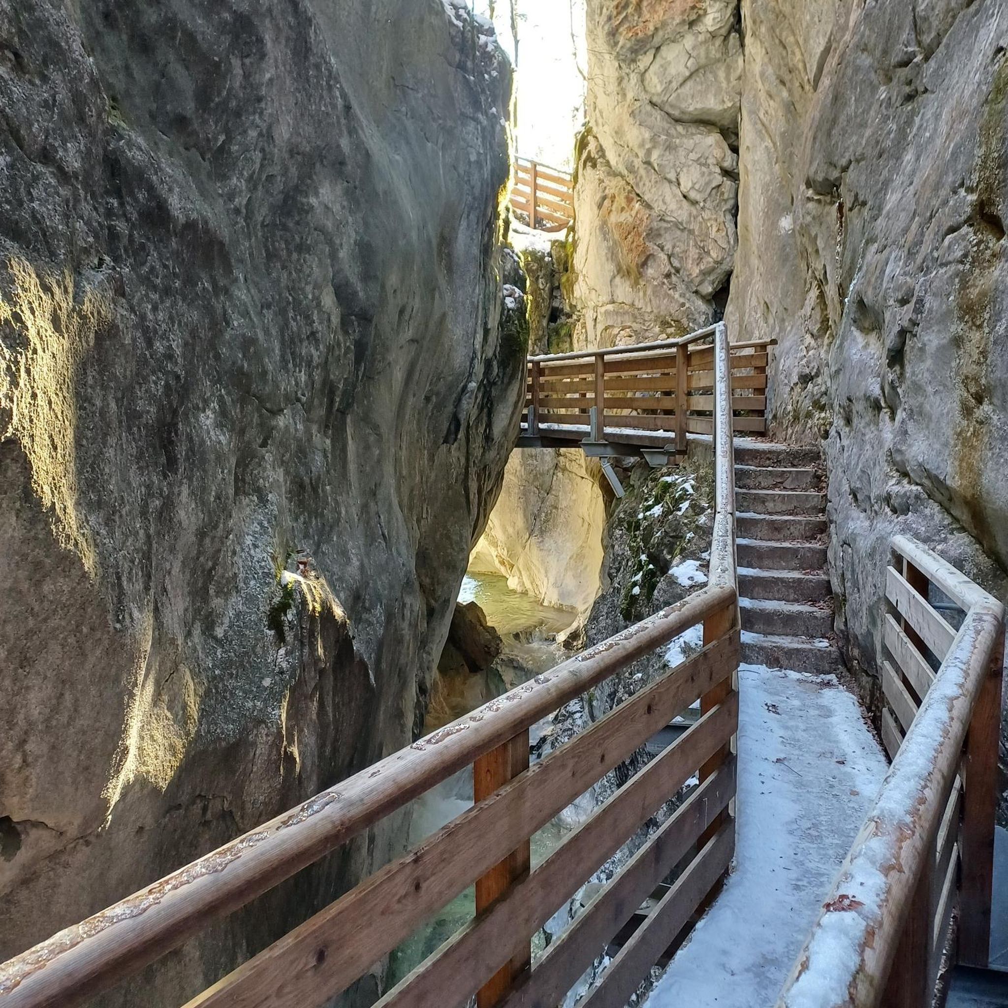
The source of the Leie (French: la source de la Lys) is located in the small French village of Lisbourg, situated in the Pas-de-Calais department in the Hauts-de-France region. The river originates here at an altitude of approximately 115 meters and flows via Aire-sur-la-Lys towards Belgium, eventually flowing into the Scheldt in Ghent after approximately 202 kilometers.
0
0


Frequently Asked Questions
Are there easy road cycling routes suitable for beginners around Norrent-Fontes?
Yes, the Norrent-Fontes region offers a good selection of easy road cycling routes. Approximately 69 routes are categorized as easy, featuring flatter terrain ideal for those new to road biking or looking for a relaxed ride. An example is the Hinges church – Waterfall of Nave river in Bourecq loop from Bourecq, which covers about 44 km with minimal elevation gain.
What is the typical distance of road cycling routes in the Norrent-Fontes area?
Road cycling routes around Norrent-Fontes vary significantly in length. You can find shorter rides, such as the Hinges church – Waterfall of Nave river in Bourecq loop from Bourecq at around 44 km, up to longer, more challenging tours like the Ruins of Saint-Bertin Abbey – Fresnicourt coast loop from Ham-en-Artois, which extends to about 115 km.
Where can I typically start road cycling routes in Norrent-Fontes, and is parking available?
Many road cycling routes in the Norrent-Fontes area often start from nearby towns and villages such as Ham-en-Artois or Bourecq, as indicated by route names. These locations generally offer public parking facilities, making them convenient access points for cyclists.
Are there challenging road cycling routes for experienced riders near Norrent-Fontes?
Yes, for experienced road cyclists seeking a challenge, the Norrent-Fontes region provides routes with more significant elevation changes and longer distances. There are 27 routes classified as difficult. A notable challenging route is the Ruins of Saint-Bertin Abbey – Fresnicourt coast loop from Ham-en-Artois, which is about 115 km long with nearly 600 meters of ascent.
Are there road cycling options suitable for families with children in Norrent-Fontes?
While specific 'kids' routes aren't explicitly listed, the region's 69 easy routes, characterized by agricultural plains and gentle terrain, can be suitable for families with older children or those comfortable with longer distances. Consider routes with less traffic and flatter sections, such as the Waterfall of Nave river in Bourecq – Saint-Venant Marina loop from Bourecq, which is around 48 km with minimal climbing.
When is the best time of year for road cycling around Norrent-Fontes?
The Norrent-Fontes region, with its agricultural plains and river valleys, is generally pleasant for road cycling from spring through autumn. Spring offers blooming landscapes, while autumn provides scenic views with changing foliage. Summer is also popular, but it's advisable to check local weather forecasts for optimal conditions.
Are there road cycling routes in Norrent-Fontes that offer scenic views?
Absolutely. The road cycling routes around Norrent-Fontes traverse open countryside, gentle rolling hills, and river valleys, providing picturesque views of agricultural landscapes and natural beauty. Routes like the Porte d'Aire – Cassel loop from Ham-en-Artois offer expansive views of the surrounding countryside.
Can I find quiet road cycling routes away from heavy traffic in Norrent-Fontes?
Many road cycling routes in Norrent-Fontes pass through small villages and open agricultural areas, offering a quieter cycling experience away from major roads. The region's character, with its focus on rural landscapes, lends itself well to finding peaceful rides. Look for routes that connect smaller hamlets and traverse the plains.
Are there loop road cycling routes available in Norrent-Fontes?
Yes, the majority of road cycling routes in the Norrent-Fontes area are designed as loops, allowing you to start and finish at the same point. Examples include the popular Waterfall of Nave river in Bourecq – Clocher de Verchin loop from Ham-en-Artois and the Porte d'Aire – Cassel loop from Ham-en-Artois.
What can I see along the road cycling routes in Norrent-Fontes?
Beyond the natural landscapes of agricultural plains and river valleys, road cycling routes in Norrent-Fontes often pass through small villages and near historical sites. You might encounter landmarks such as the The Thiennes Bridge, the Saint-Pierre Collegiate Church of Aire-sur-la-Lys, or the Moulin des Invalides.
What do other road cyclists enjoy the most about road cycling in Norrent-Fontes?
The Norrent-Fontes area is highly rated by the komoot community, with an average score of 4.5 stars from over 28 reviews. Reviewers often praise the varied terrain, which includes both flat sections for speed and moderate climbs, as well as the charming passages through small villages and historical sites.
Most popular routes around Norrent-Fontes
Most popular attractions around Norrent-Fontes

Get inspired with the komoot mobile app


Explore more
Browse the best Road cycling routes in other regions.
