The best road cycling routes around Vimy
4.3
(511)
8,823
riders
14
rides
Road cycling routes around Vimy navigate an elevated escarpment, with the ridge rising to 145 meters at its highest point, Hill 145. This area features varied terrain, including gentle slopes and notable climbs, offering panoramic views of the surrounding Douai Plain. The landscape is characterized by quiet roads, pine forests, and green spaces, alongside the unique features of a preserved First World War battlefield.
Best road cycling routes around Vimy
- The most popular road cycling route is Vauthier Marker No.…
Last updated: October 18, 2026
19
riders
75.8km
03:15
590m
590m
Moderate road ride. Good fitness required. Mostly well-paved surfaces and easy to ride.
12
riders
82.2km
03:55
620m
620m
Moderate road ride. Good fitness required. Mostly well-paved surfaces and easy to ride.

7
riders
82.2km
03:32
600m
600m
Moderate road ride. Good fitness required. Mostly well-paved surfaces and easy to ride.
8
riders
59.0km
02:32
450m
450m
Moderate road ride. Good fitness required. Mostly well-paved surfaces and easy to ride.
7
riders
95.5km
04:12
770m
770m
Moderate road ride. Good fitness required. Mostly well-paved surfaces and easy to ride.
Get access to more routes and recommendations from other explorers.
Already have an account?
Our route recommendations are based on thousands of hikes, rides, and runs completed by other people on komoot.
Start today with a free account
Your next adventure awaits.

Tips from the Community


Mont César rises to a height of 138 meters on the left bank of the Thérain River, near the hamlet of Froidmont, in the municipality of Bailleul-sur-Thérain, in the Oise department. The hill, which overlooks the valley and surrounding marshes, has been inhabited since the Bronze Age and was likely a Gallo-Roman oppidum on an ancient, fortified Gallic camp. Archaeological excavations carried out since the 18th century have unearthed numerous objects and remains of fortifications. During excavations conducted in 1878 by Isidore Berton, Gallic coins and various objects from the Roman period were discovered. Want to know more? Click through to the source: https://fr.wikipedia.org/wiki/Mont_C%C3%A9sar
0
0


You absolutely have to see it. The climb is worth it ;-)
0
0

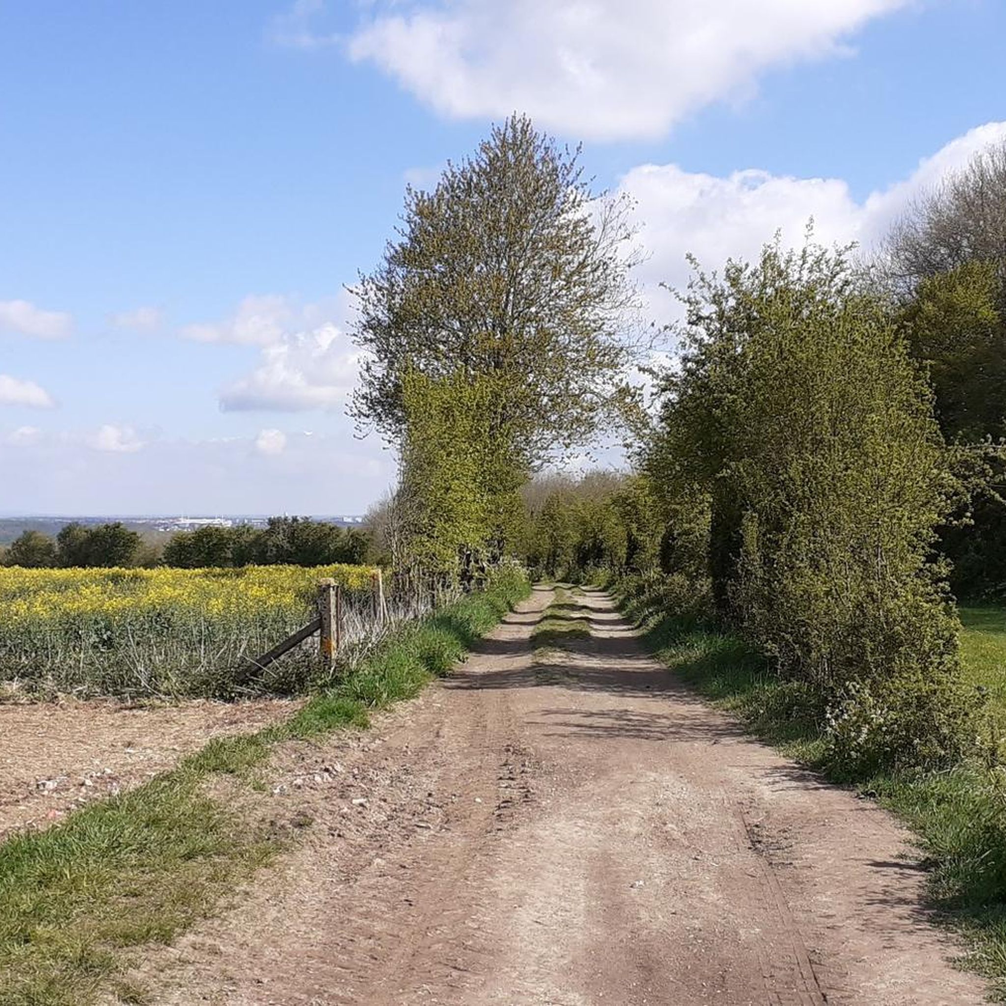
Small hill over 500 meters through fields and woods, with a positive elevation gain of 26 meters.
0
0

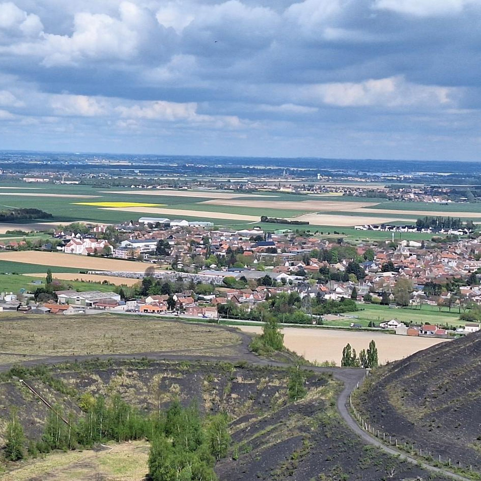
The church dedicated to the Mother of God under the title "Notre-Dame de Lorette" rises in brilliant white and is visible from far away. But the brilliant impression is deceptive, at the latest when the visitor to the site realizes that they are in a huge military cemetery. Around 20,000 individual graves and a further 23,000 victims of war and tyranny buried in ossuaries are deeply disturbing.
0
0
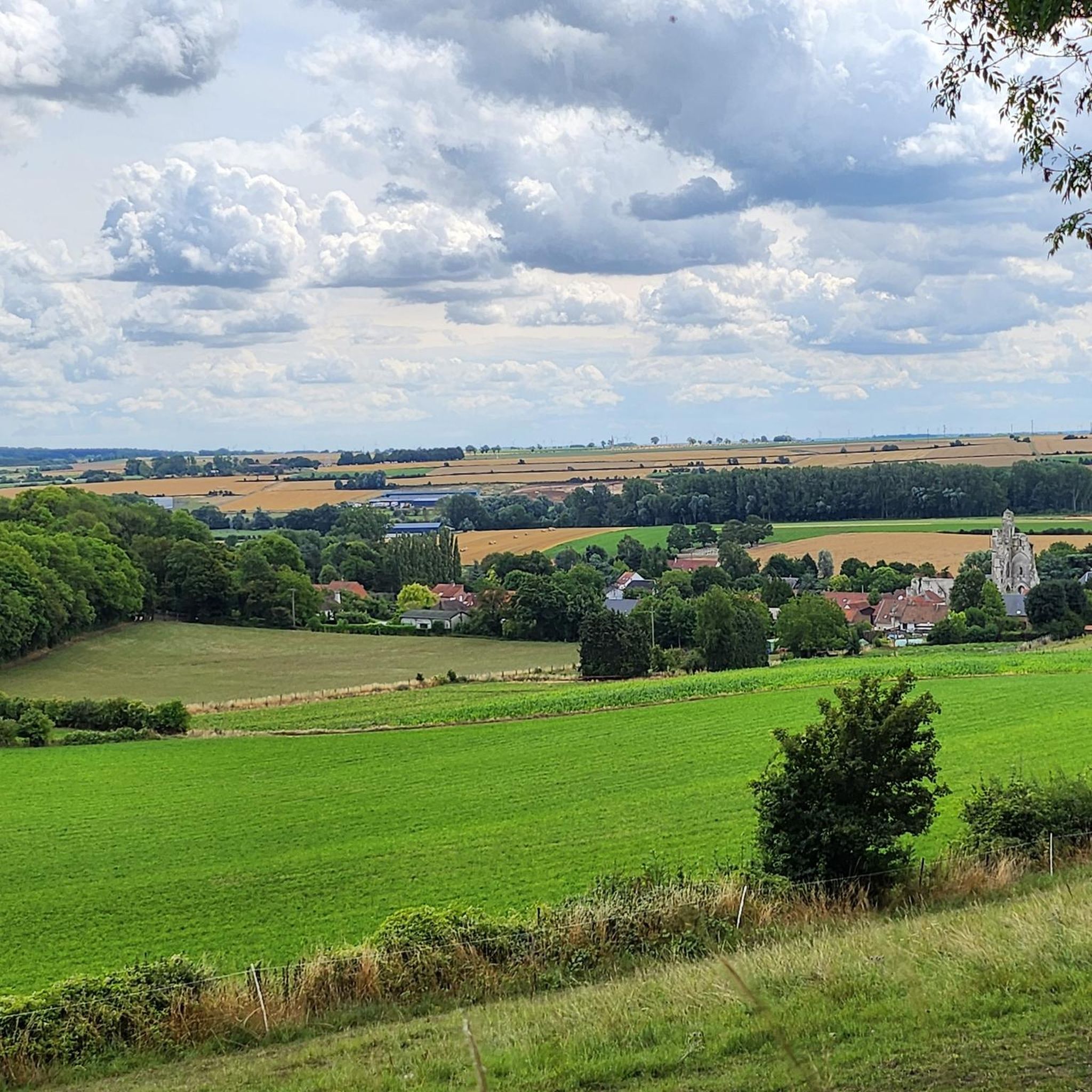
From the top of a hill, the panorama from Mont-Saint-Eloi extends over the entire Scarpe valley and the Artois plain. The village is known for the ruins of its abbey, and the two towers dominate the surrounding landscape.
0
0

Frequently Asked Questions
How many road cycling routes are available in Vimy?
Vimy offers a wide selection of road cycling routes, with over 400 tours available on komoot. These routes cater to various skill levels, from easy rides to more challenging ascents.
What kind of terrain can I expect on Vimy's road cycling routes?
The terrain around Vimy is quite varied. You'll encounter an elevated escarpment, with the ridge rising to 145 meters at its highest point, Hill 145. This provides both gentle slopes and notable climbs, offering extensive panoramas of the surrounding Douai Plain. The landscape also features quiet roads, pine forests, and green spaces, alongside the unique features of a preserved First World War battlefield.
Are there road cycling routes suitable for beginners in Vimy?
Yes, Vimy has numerous options for beginners. There are 86 easy road cycling routes available. An example is the Vauthier Marker No. 39 – Farbus Hill loop from Thélus, which is 21 km long with moderate elevation gain, perfect for an enjoyable ride.
Are there challenging road cycling routes for experienced cyclists in Vimy?
Absolutely. While many routes are moderate, Vimy also offers 26 difficult road cycling routes for those seeking a challenge. The elevated topography of Vimy Ridge, with its 'good climbs,' provides opportunities for more confident cyclists to test their endurance.
What historical sites can I visit while road cycling in Vimy?
Vimy is rich in history. You can cycle to significant landmarks such as the towering Canadian National Vimy Memorial, which stands atop Hill 145. Other notable sites include the Notre-Dame-de-Lorette National Cemetery and preserved battlefield areas with trenches and craters, offering a unique historical experience.
Are there scenic viewpoints along the road cycling routes in Vimy?
Yes, the elevated topography of Vimy Ridge provides commanding views. From its highest point, Hill 145, you can enjoy extensive panoramas of the surrounding Douai Plain, with its meadows, woods, and farmland. Many routes are designed to showcase these scenic vistas.
Are there loop trails for road cycling in Vimy?
Many of the road cycling routes in Vimy are loop trails, allowing you to start and end at the same point. For instance, the The White Way – Ruins of Mont-Saint-Eloi Abbey loop from Givenchy-en-Gohelle is an easy 24.7 km loop offering scenic views and historical sights.
What do other road cyclists enjoy most about road cycling in Vimy?
The komoot community highly rates road cycling in Vimy, with an average score of 4.4 stars from over 400 reviews. Cyclists often praise the quiet roads, the unique blend of historical exploration, and the varied terrain that includes both gentle slopes and rewarding climbs, all set against a backdrop of scenic landscapes.
Is parking available for road cyclists in Vimy?
Given Vimy's popularity as a historical site and its proximity to Arras, there are generally parking options available near key attractions and starting points for routes. It's advisable to check specific parking facilities for the area you plan to start your ride.
Are there family-friendly road cycling routes in Vimy?
Yes, Vimy offers several easy routes that are suitable for families. These routes typically feature gentle terrain and quiet roads, allowing for a relaxed and enjoyable cycling experience. The Zivy Crater - Thelus – Vimy Ridge loop from Thélus is an easy 23.5 km route that explores the preserved battlefield landscape, suitable for a family outing.
What is the best time of year to road bike in Vimy?
The spring and autumn months generally offer the most pleasant conditions for road cycling in Vimy, with milder temperatures and beautiful scenery. Summer can also be enjoyable, though it's wise to start earlier in the day to avoid the midday heat. Winter cycling is possible but requires appropriate gear for colder, potentially wetter conditions.
Can I find cafes or places to stop for refreshments along the road cycling routes?
While the immediate battlefield area is more rural, many routes pass through or near small villages and towns where you can find cafes, bakeries, or small shops for refreshments. The proximity to Arras also means that starting or ending your ride there provides ample options for food and drink.
Most popular attractions around Vimy

Get inspired with the komoot mobile app


Explore more
Browse the best Road cycling routes in other regions.
