The best walks and hikes around Pont-De-Buis-Lès-Quimerch
4.3
(669)
3,216
hikers
228
hikes
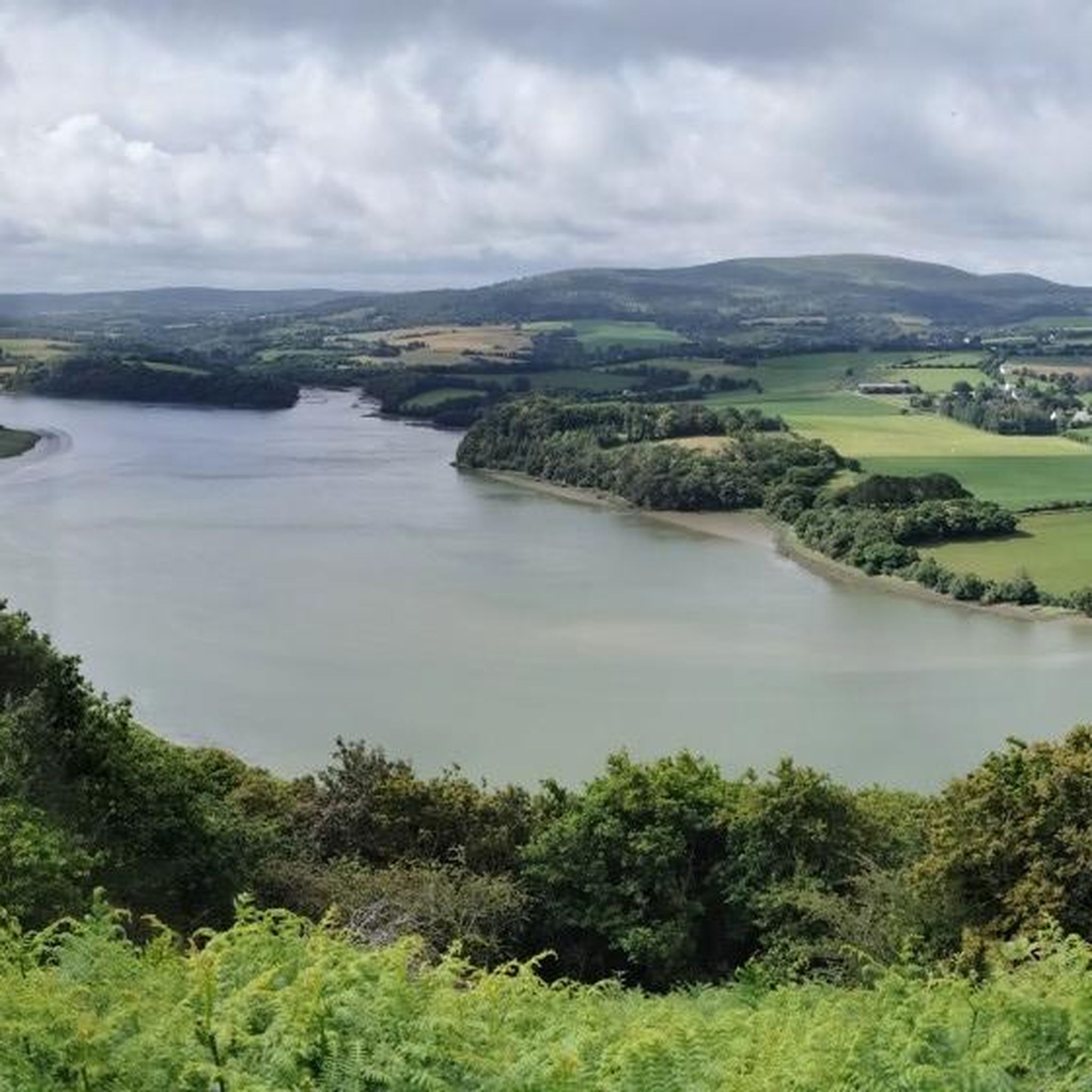
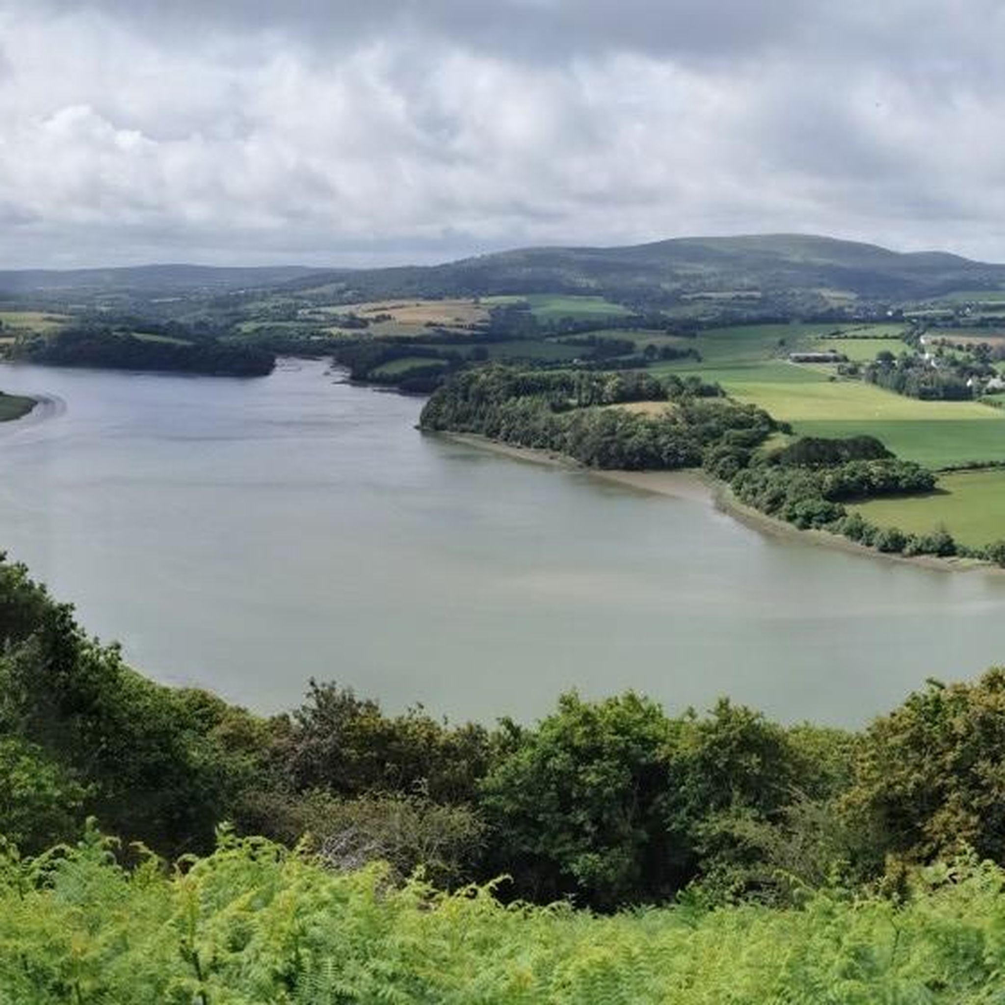
Hiking around Pont-De-Buis-Lès-Quimerch offers diverse landscapes within the Finistère department of Brittany, France. The region is characterized by its proximity to the Regional Natural Park of Armorique, featuring vast moorlands, forests, and the Aulne valley. Ménez Hom, a prominent hill rising to 329 meters, provides panoramic views over the Bay of Brest and the Bay of Douarnenez. The area also includes the Cranou Forest, offering varied terrain for hikers.
Best hiking trails around Pont-De-Buis-Lès-Quimerch
- The most popular hiking route is…
Last updated: October 13, 2026
4.3
(19)
66
hikers
6.41km
01:45
100m
100m
Easy hike. Great for any fitness level. Easily-accessible paths. Suitable for all skill levels.
4.1
(16)
55
hikers
7.35km
02:00
110m
110m
Moderate hike. Good fitness required. Easily-accessible paths. Suitable for all skill levels.

4.3
(3)
9
hikers
9.92km
02:45
170m
170m
Moderate hike. Good fitness required. Easily-accessible paths. Suitable for all skill levels.
4.5
(2)
14
hikers
12.9km
03:40
290m
290m
Moderate hike. Good fitness required. Easily-accessible paths. Suitable for all skill levels.
3.5
(4)
10
hikers
8.87km
02:32
220m
220m
Moderate hike. Good fitness required. Easily-accessible paths. Suitable for all skill levels.
Get access to more routes and recommendations from other explorers.
Already have an account?
Our route recommendations are based on thousands of hikes, rides, and runs completed by other people on komoot.
Start today with a free account
Your next adventure awaits.
Tips from the Community

Old Quimerc'h Church (Saint-Pierre): It was built in the first half of the 16th century and "abandoned" at the end of the 19th century. In front of the church is a beautiful meadow with a table for resting. Worth seeing.
1
0

The Cranou forest is home to an arboretum, set up in 2008, extends over 14 hectares and is intended to study global warming. It is freely accessible for walkers. It succeeds the sylvetum created in 1970 by the National Forestry Office and the National Institute of Agronomic Research and which brings together 51 different species of deciduous and coniferous trees, planted there experimentally, in order to study their behavior for the purposes of reforestation in the context of a very humid oceanic climate (average annual rainfall: 1,173 mm) almost constantly (it rains as much in winter as in summer). As part of the arboretum, new species of trees are being planted (such as sweetgums, Douglas fir, Chilean araucaria, arrayans, etc.) and 150 different species are planned for the near future. https://fr.wikipedia.org/wiki/For%C3%AAt_du_Cranou
1
0

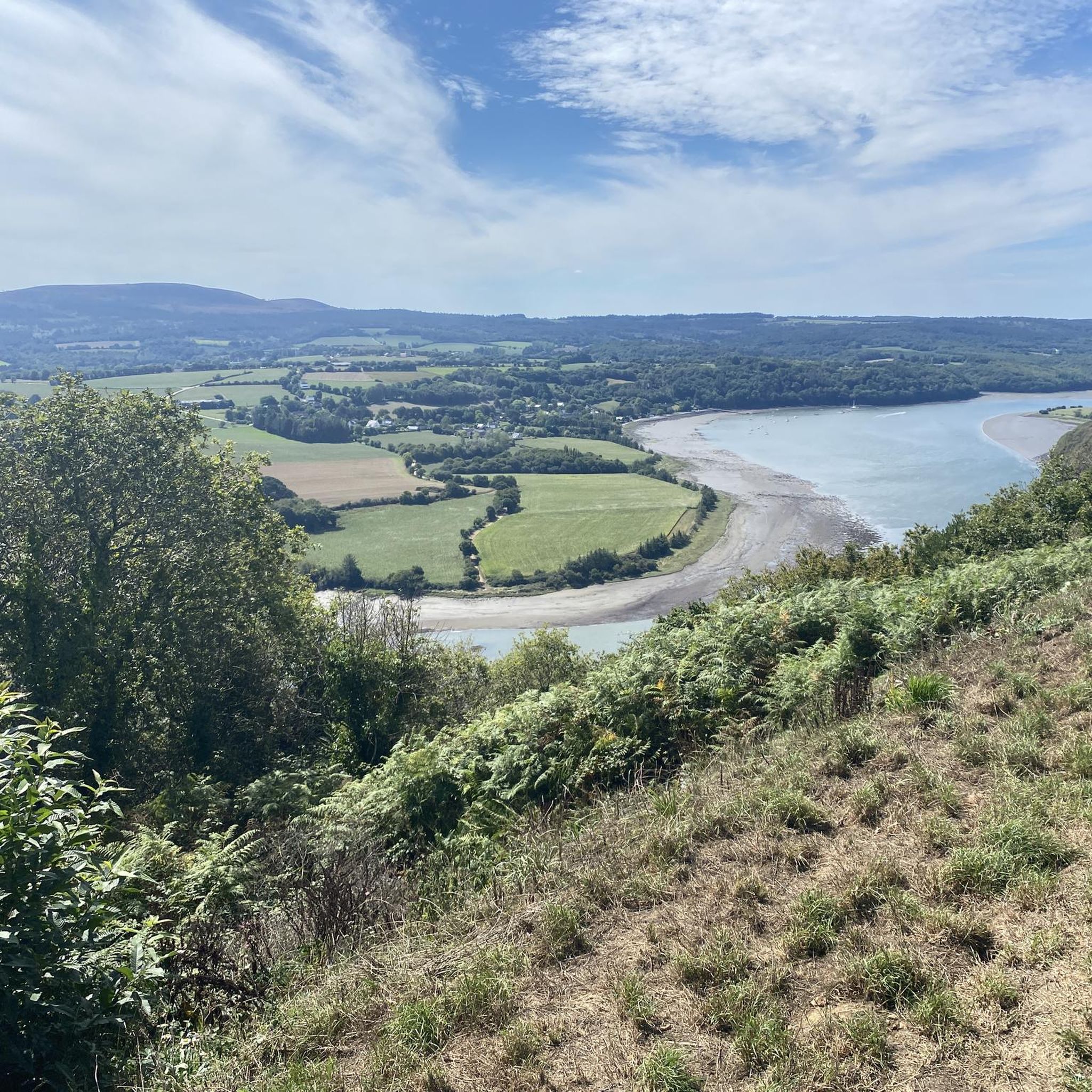
Beautiful hike with beautiful hollow paths and beautiful openings on the countryside. Follow the trail carefully as there are no markings. Provide good shoes according to the weather because several passages can be wet.
0
0

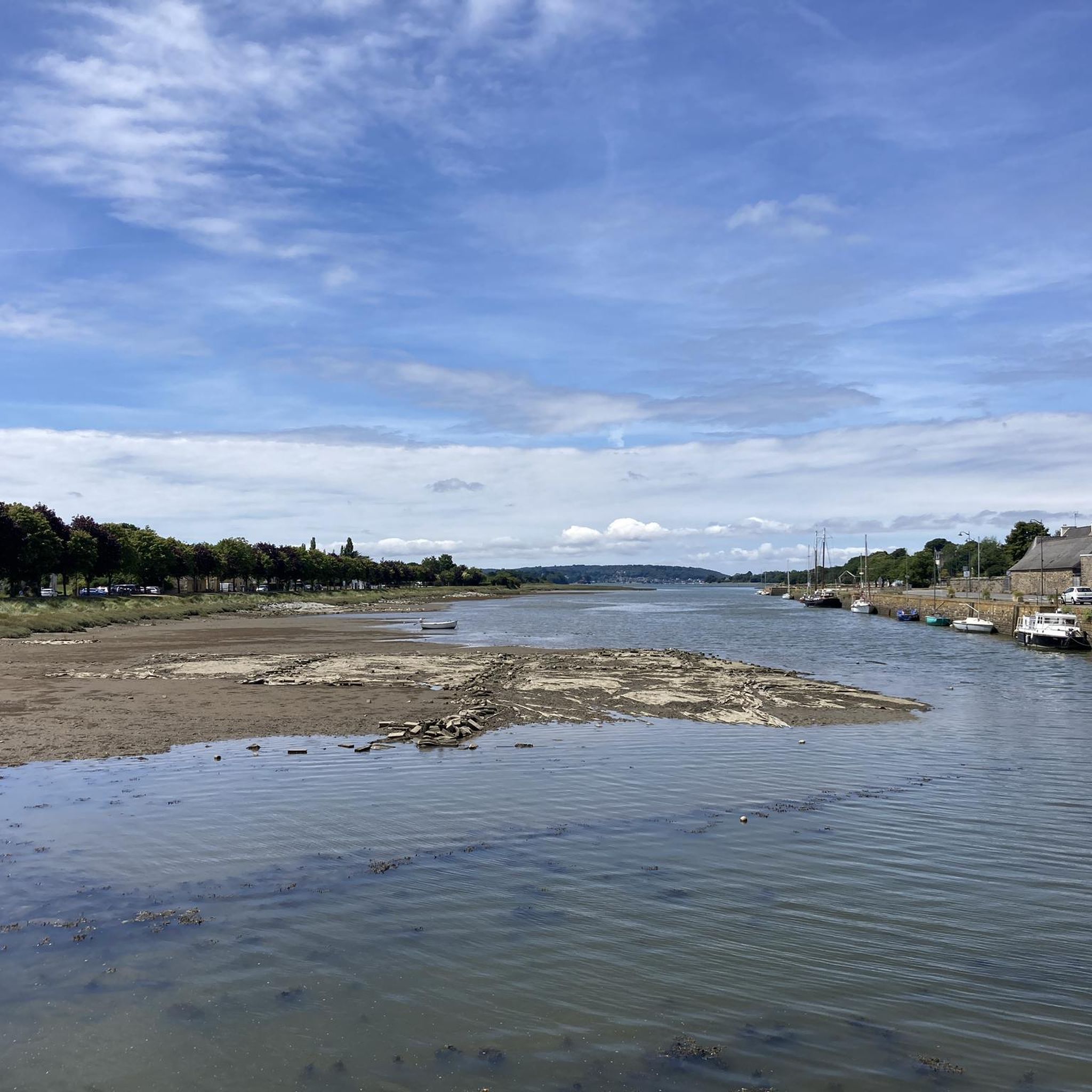
A stream crosses the bridge and later becomes the river Faou. The place is shady and the children often come to play in the summer to cool down. It is possible to park there in front.
0
0
Frequently Asked Questions
How many hiking trails are available around Pont-De-Buis-Lès-Quimerch?
There are over 200 verified hiking routes around Pont-De-Buis-Lès-Quimerch, offering a wide range of options for all skill levels. These trails explore the diverse landscapes of the Finistère department, including the Cranou Forest and the Aulne valley.
Are there easy hiking trails suitable for beginners or families?
Yes, Pont-De-Buis-Lès-Quimerch offers many easy trails perfect for beginners or families. For instance, the Red bridge – Cranou Forest loop from Pont Rouge is an easy 6.4 km route that takes about 1 hour 45 minutes, exploring the edges of Cranou Forest. Another great option is the Cranou Forest – Red bridge loop from Ti Kerneiz, an easy 7.3 km path typically completed in about 2 hours.
What kind of landscapes can I expect to see on hikes in this region?
The region around Pont-De-Buis-Lès-Quimerch is characterized by its diverse natural beauty. You can expect to hike through dense forests like the Cranou Forest, along scenic river valleys such as the Aulne, and explore parts of the Regional Natural Park of Armorique, which features moorlands and hills. The area also offers panoramic views, especially from higher points like Ménez Hom.
Are there any notable viewpoints or landmarks along the hiking routes?
Absolutely. One of the most prominent viewpoints is the Summit of Ménez Hom, which offers exceptional panoramic views over the Bay of Brest and the Bay of Douarnenez. You can also see the impressive Pont de Térénez, a bridge spanning the Aulne river, which is an engineering marvel set within a beautiful natural landscape.
What do other hikers say about the trails in Pont-De-Buis-Lès-Quimerch?
The hiking trails in Pont-De-Buis-Lès-Quimerch are highly rated by the komoot community, with an average score of 4.3 stars from over 600 reviews. Hikers often praise the quiet woodlands, the variety of terrain, and the well-maintained paths that make for an enjoyable outdoor experience.
Are there any circular hiking routes available?
Yes, many of the trails around Pont-De-Buis-Lès-Quimerch are circular, allowing you to start and end at the same point. Examples include the Cranou Forest loop from Rumengol, a moderate 9.8 km trail, and the Cranou Forest – Viewpoint loop from Pont Rouge, a more challenging 21.1 km route.
Can I bring my dog on the hiking trails?
Many trails in the region are dog-friendly, especially those through forests and along river paths. However, it's always recommended to check local signage for specific restrictions, particularly within protected areas of the Regional Natural Park of Armorique, and to keep your dog on a leash for their safety and to protect local wildlife.
What is the best season for hiking in Pont-De-Buis-Lès-Quimerch?
The region is beautiful year-round, but spring and autumn offer particularly pleasant hiking conditions with mild temperatures and vibrant natural colors. Spring brings blooming flora, while autumn showcases rich foliage. Summer is also popular, though trails can be busier. Winter hiking is possible, but be prepared for cooler, potentially wetter weather, especially in the forest areas.
Are there any longer or more challenging hikes for experienced hikers?
For experienced hikers seeking a challenge, the region offers several difficult routes. The Cranou Forest – Viewpoint loop from Pont Rouge is a difficult 21.1 km trail with significant elevation gain, typically taking almost 6 hours to complete. This route provides a more strenuous exploration of the area's natural beauty.
What are some historical or cultural sites I can visit near the trails?
Beyond natural beauty, you can explore historical sites such as the Saint-Sauveur Church of Le Faou or the Saint-Nicolas Church Port-Launay. These offer a glimpse into the local heritage and can be combined with a hike for a richer experience.
How long do hikes typically take around Pont-De-Buis-Lès-Quimerch?
Hike durations vary widely depending on the trail's length and difficulty. Easy routes like the Red bridge – Cranou Forest loop from Pont Rouge can take under 2 hours, while moderate trails such as the Saint-Pierre Church Ruins loop from Le Vieux Bourg might take around 3 hours 40 minutes. More difficult and longer routes can extend to 6 hours or more.
Most popular routes around Pont-De-Buis-Lès-Quimerch
Most popular attractions around Pont-De-Buis-Lès-Quimerch

Get inspired with the komoot mobile app


Explore more
Browse the best Hikes in other regions.
