
The best running trails around Courpière
4.5
(19)
501
runners
22
runs
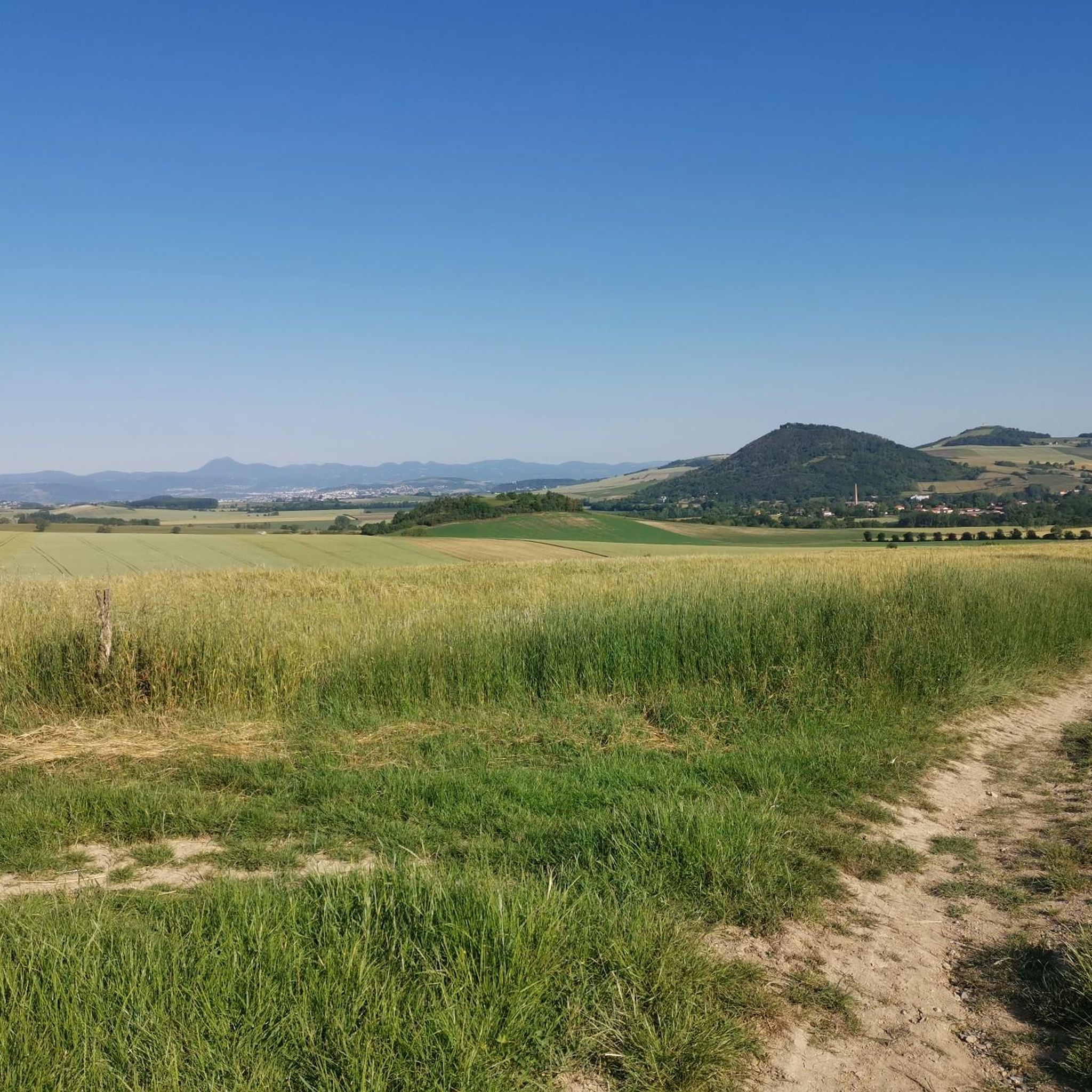
Jogging routes around Courpière are set within the Livradois-Forez Regional Natural Park, offering diverse landscapes for outdoor activity. The region features a mix of forests, tranquil ponds, and high plateaus, characterized by its bocage landscape. Courpière itself benefits from an elevated position in the Dore Valley, providing varied terrain for running. Elevations range from 297 to 542 meters, contributing to the varied difficulty of available routes.
Best jogging routes around Courpière
- The most popular jogging route is Running loop from…
Last updated: June 27, 2026
10
runners
8.31km
01:01
200m
200m
Moderate run. Good fitness required. Mostly paved surfaces. Suitable for all skill levels.
10
runners
19.4km
02:07
230m
230m
Hard run. Very good fitness required. Mostly paved surfaces. Suitable for all skill levels.

Sign up for free
3.0
(1)
5
runners
10.9km
01:10
170m
170m
Moderate run. Good fitness required. Mostly paved surfaces. Suitable for all skill levels.
5
runners
5.73km
00:37
90m
90m
Moderate run. Good fitness required. Mostly paved surfaces. Suitable for all skill levels.
5
runners
6.19km
00:41
70m
70m
Moderate run. Good fitness required. Mostly paved surfaces. Suitable for all skill levels.
Get access to more routes and recommendations from other explorers.
Sign up for free
Already have an account?
Our route recommendations are based on thousands of hikes, rides, and runs completed by other people on komoot.
Start today with a free account
Your next adventure awaits.
Login or Signup



Frequently Asked Questions
How many running routes are available around Courpière?
There are over two dozen running routes around Courpière, offering a variety of options for different fitness levels. The komoot community has mapped 24 routes in total, with 18 considered moderate and 6 challenging.
What kind of terrain can I expect on jogging trails in Courpière?
Jogging routes in Courpière offer diverse terrain, ranging from tranquil ponds and lush forests to high plateaus. The area is characterized by its bocage landscape, a mix of meadows, hedgerows, and woods. You'll find varied elevation changes, with routes ranging from 297 to 542 meters in altitude, providing both gentle and more challenging inclines.
Are there any challenging running routes in the Courpière area?
Yes, for runners seeking a challenge, there are 6 difficult routes around Courpière. The region's varied elevation, with heights up to 542 meters, ensures some demanding climbs and descents. These routes are perfect for those looking to push their limits amidst scenic landscapes.
What do other runners say about the jogging routes in Courpière?
The running routes around Courpière are highly rated by the komoot community, with an average score of 4.5 stars from over 15 reviews. More than 500 runners have explored the varied terrain, often praising the diverse forests, rolling hills, and the scenic Dore Valley.
Are there any circular running routes near Courpière?
Many of the running routes around Courpière are circular, allowing you to start and finish in the same location. For example, the Running loop from Courpière is a popular 8.3 km circular trail, and the Running loop from Les Quatre Vents offers a moderate 10.9 km loop.
Can I find running routes that pass by water features or lakes?
Yes, the Courpière area features several ponds and water bodies that are incorporated into running routes. The Lake Aubusson – Lac d'Aubusson loop from Les Quatre Vents is a great option for a picturesque run around a lake. The Dore Valley, with the Dore river, also offers scenic routes like the La Dore loop from Le Montel.
What natural features can I see while running in Courpière?
While running in Courpière, you'll experience the rich natural tapestry of the Livradois-Forez Regional Natural Park. This includes diverse landscapes such as tranquil ponds, lush forests, and high plateaus. The region is known for its bocage landscape, and you might encounter unique plant life in mysterious peat bogs and wetlands. The Dore Valley also provides beautiful riverine scenery.
Are there any notable landmarks or viewpoints along the running trails?
Yes, several points of interest offer scenic views or historical context. You could explore the industrial heritage of the Usine du Creux, Vallée des Usines, Thiers, or the Rouets Valley. For spectacular panoramic views, consider a route that offers glimpses of Pierre Pamole, a granite summit known for its grandiose landscape.
Are there any easy running routes suitable for beginners in Courpière?
While most routes are classified as moderate, some are shorter and have less elevation gain, making them more accessible. For instance, the Gravière de Néronde loop from Néronde-sur-Dore is a moderate 6.19 km route with a manageable 66 meters of elevation gain, which could be a good starting point for beginners.
What is the longest running route available in Courpière?
Among the listed routes, the Lake Aubusson – Lac d'Aubusson loop from Les Quatre Vents is one of the longer options, covering approximately 13.8 kilometers. This moderate route offers a substantial distance for those looking for a longer run.
What is the elevation range for jogging routes in Courpière?
The elevation in the Courpière area ranges from 297 to 542 meters (974 to 1,778 feet). This means you can find routes with varying degrees of ascent and descent, from relatively flat sections in the Dore Valley to more significant climbs on the higher plateaus within the Livradois-Forez Regional Natural Park.
Most popular attractions around Courpière

Get inspired with the komoot mobile app


Explore more
Browse the best Running Trails & Routes in other regions.
