The best road cycling routes around Saint-Epvre
4.3
(13)
408
riders
113
rides
Road cycling routes around Saint-Epvre are situated within the broader Lorraine region, characterized by diverse landscapes suitable for cycling. The area features extensive river valleys, including the Moselle and Meurthe, alongside canals like the Canal de la Marne au Rhin, offering largely flat, paved surfaces. Beyond these waterways, the terrain transitions to rolling hills and forests, particularly around the Moselle near Maron and within the Lorraine Regional Natural Park. The region also includes vineyard areas near Toul, providing varied backdrops…
Last updated: October 12, 2026
3.0
(1)
13
riders
39.7km
01:48
380m
380m
Moderate road ride. Good fitness required. Mostly well-paved surfaces and easy to ride.
8
riders
41.8km
01:47
300m
300m
Easy road ride. Great for any fitness level. Mostly well-paved surfaces and easy to ride.

5.0
(1)
9
riders
52.2km
02:24
420m
420m
Moderate road ride. Good fitness required. Mostly well-paved surfaces and easy to ride.
6
riders
33.4km
01:34
380m
380m
Moderate road ride. Good fitness required. Some segments of this route may be unpaved and difficult to ride.
5
riders
Moderate road ride. Good fitness required. Mostly well-paved surfaces and easy to ride.
Get access to more routes and recommendations from other explorers.
Already have an account?
Our route recommendations are based on thousands of hikes, rides, and runs completed by other people on komoot.
Start today with a free account
Your next adventure awaits.

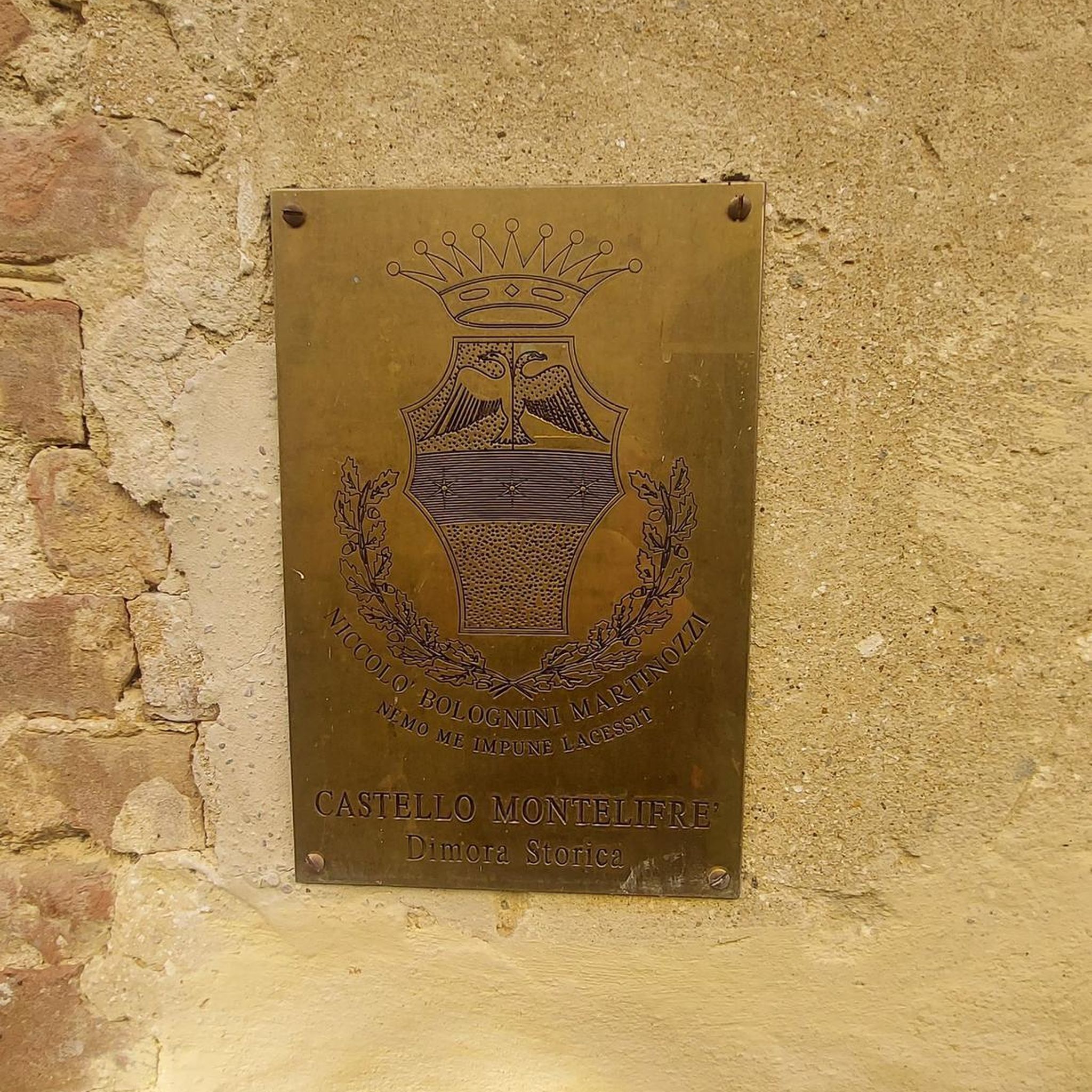
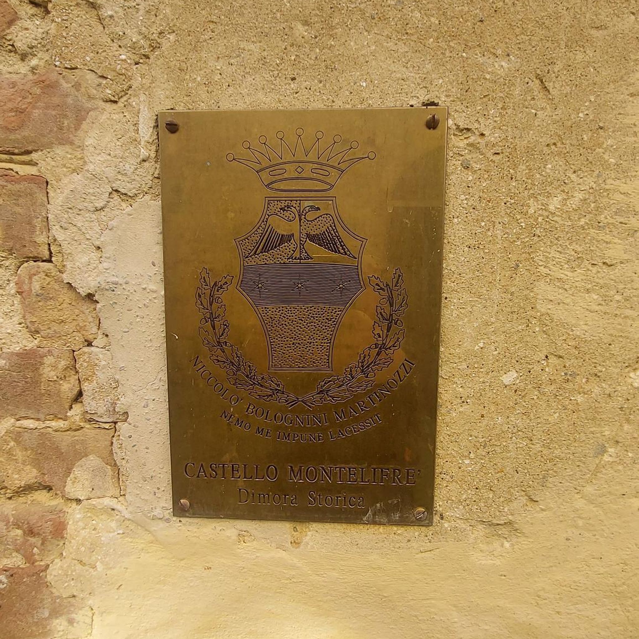

Tips from the Community


In the heart of Nomeny lie the remains of a medieval castle that was once a strategic stronghold of the bishops of Metz. Built in the 12th century and fortified in the 14th century, the castle had a rich history until it was largely dismantled in the 17th century. Today, a few towers, walls and moats are still visible — silent witnesses to a glorious past.
5
0

Memorial to the fallen of the two world wars 🕊️
0
0
Memorial to the fallen of the two world wars 🕊️
0
0
Unfortunately not open to visitors.
2
0
Culminating at an altitude of 400 meters, the Côte de Delme has more than 100 ha of limestone lawns offering an unobstructed view of the Saulnois and the Nied valley. The Côte de Delme is part of a regional nature reserve. There is a picnic area at the northern entrance to the reserve.
0
0

Ruins of an old castle. Beautiful green and overgrown
0
0

Frequently Asked Questions
What kind of terrain can I expect for road cycling around Saint-Epvre?
The region around Saint-Epvre, within Lorraine, offers a diverse range of terrain. You'll find extensive flat, paved surfaces along river valleys like the Moselle and Meurthe, and canals such as the Canal de la Marne au Rhin. Beyond these waterways, the landscape transitions to rolling hills and forests, particularly around the Moselle near Maron and within the Lorraine Regional Natural Park. There are also scenic vineyard areas near Toul.
Are there road cycling routes suitable for beginners or families?
Yes, the region offers routes for various skill levels. The river valleys and canals, such as sections of the Moselle Loop and the Voie Bleue, provide largely flat and dedicated cycle paths, making them accessible and enjoyable for beginners and families. For example, the Chateau – Burgruine loop from Béchy is a moderate 24.7-mile route that offers a mix of historical points and rural scenery.
How many road cycling routes are available around Saint-Epvre?
There are over 100 road cycling routes available around Saint-Epvre on komoot, catering to various difficulty levels. This includes 16 easy routes, 78 moderate routes, and 11 difficult routes, ensuring options for every cyclist.
What are the typical distances and elevation gains for road cycling routes in this area?
Route distances vary significantly. You can find shorter, moderate paths like the Bus Stop Fly Mural – Mont Saint-Pierre loop from Rémilly, which is 26.5 miles with around 325 meters of elevation gain. For more challenging rides, routes such as the Château d'Étanges – Decorative Fountain loop from Rémilly cover nearly 100 miles with over 1,500 meters of climbing.
What are some scenic highlights or attractions I can see along the road cycling routes?
Many routes pass through charming towns and villages, offering glimpses into local culture and history. You can explore Nancy's Art Nouveau architecture, or visit historical sites like the Château d'Haroué or the Château de Lunéville. The routes often follow the peaceful Meurthe and Moselle rivers, and canals like the Canal de la Marne au Rhin, providing picturesque views. The Parc de Brabois also offers panoramic views of Nancy from its hillside location.
Are there any loop routes for road cycling around Saint-Epvre?
Yes, many road cycling routes in the area are designed as loops, allowing you to start and finish at the same point. Examples include the popular Bus Stop Fly Mural loop from Rémilly, a 32.4-mile route, and the longer Denkmal für die Gefallenen 🕊️ – Bus stop loop from Rémilly, which is over 71 miles.
When is the best time of year for road cycling in the Saint-Epvre region?
The best time for road cycling in the Grand Est region, including Saint-Epvre, is typically from spring through early autumn (April to October). During these months, the weather is generally mild and pleasant, with less rainfall and comfortable temperatures for longer rides. Summer offers the warmest weather, while spring and autumn provide beautiful scenery with blooming landscapes or vibrant fall colors.
Where can I find information about bike rentals or repairs in Nancy?
For bike rentals and repairs, it's best to check local shops in Nancy. While specific shops aren't listed here, Nancy, as a larger city and cycling hub, will have several options. You can often find information on the Nancy tourism website or by searching online for 'location vélo Nancy' or 'réparation vélo Nancy'.
Can I use public transport with my bike in Nancy and the surrounding area?
Public transport options for bikes can vary. Within Nancy, some tram and bus lines may allow bikes during off-peak hours or with specific restrictions. For regional travel, trains often have dedicated spaces for bikes, though reservations might be required, especially for longer distances or during busy periods. It's advisable to check the specific transport operator's rules before planning your journey. More information on cycling in Greater Nancy can be found on the local tourism website: nancy-tourisme.fr.
Are there cafes or refreshment stops along the road cycling routes?
Yes, especially along popular routes like the Moselle Loop and the Voie Bleue, you'll find charming towns and villages with cafes, bakeries, and restaurants where you can stop for refreshments. The routes often connect historical towns, ensuring opportunities for breaks and to experience local cuisine.
What do other road cyclists enjoy most about road cycling in Saint-Epvre?
The area is highly rated by the komoot community, with an average score of 4.1 stars from over 10 reviews. Reviewers often praise the diverse landscapes, from peaceful riverside paths to challenging climbs through rolling hills and forests, as well as the well-maintained routes that offer a mix of natural beauty and historical points of interest.
Where can I find parking for road cycling trails near Saint-Epvre?
Parking is generally available in the towns and villages that serve as common starting points for routes. For example, Rémilly and Béchy are mentioned as starting points for several routes in the guide. Larger towns like Nancy also offer various parking facilities, often with easy access to the regional cycling networks. Look for public parking areas or designated spots near trailheads.

Get inspired with the komoot mobile app


Explore more
Browse the best Road cycling routes in other regions.
