The best road cycling routes around Paslières
4.1
(87)
3,698
riders
206
rides
Road cycling routes around Paslières, situated in the Puy-de-Dôme department, offer diverse landscapes for cyclists. The region features generally well-paved surfaces, making it suitable for road cycling. Terrain includes areas near extinct volcanoes like Puy de Montoncel, extensive forests such as Bois Noirs, and various mountain passes. This area provides a blend of dedicated cycling routes and challenging terrain with significant elevation changes.
Best road cycling routes around Paslières
- The most popular road cycling route is Maringues – View of…
Last updated: July 2, 2026
3.9
(9)
1,674
riders
112km
05:00
1,100m
1,100m
Hard road ride. Very good fitness required. Some segments of this route may be unpaved and difficult to ride.
3.7
(6)
179
riders
48.5km
01:55
150m
150m
Easy road ride. Great for any fitness level. Mostly well-paved surfaces and easy to ride.

Sign up for free
4.6
(5)
36
riders
42.7km
02:09
710m
710m
Moderate road ride. Good fitness required. Mostly well-paved surfaces and easy to ride.
30
riders
79.2km
03:48
1,100m
1,100m
Hard road ride. Very good fitness required. Mostly well-paved surfaces and easy to ride.
27
riders
57.6km
02:40
660m
660m
Moderate road ride. Good fitness required. Mostly well-paved surfaces and easy to ride.
Get access to more routes and recommendations from other explorers.
Sign up for free
Already have an account?
Our route recommendations are based on thousands of hikes, rides, and runs completed by other people on komoot.
Start today with a free account
Your next adventure awaits.
Login or Signup


Tips from the Community

A beautiful area with, by French standards, excellent cycle paths, occasionally some potholes etc. for a bike with 5cm tires a nice tour in this lovely country.
0
0

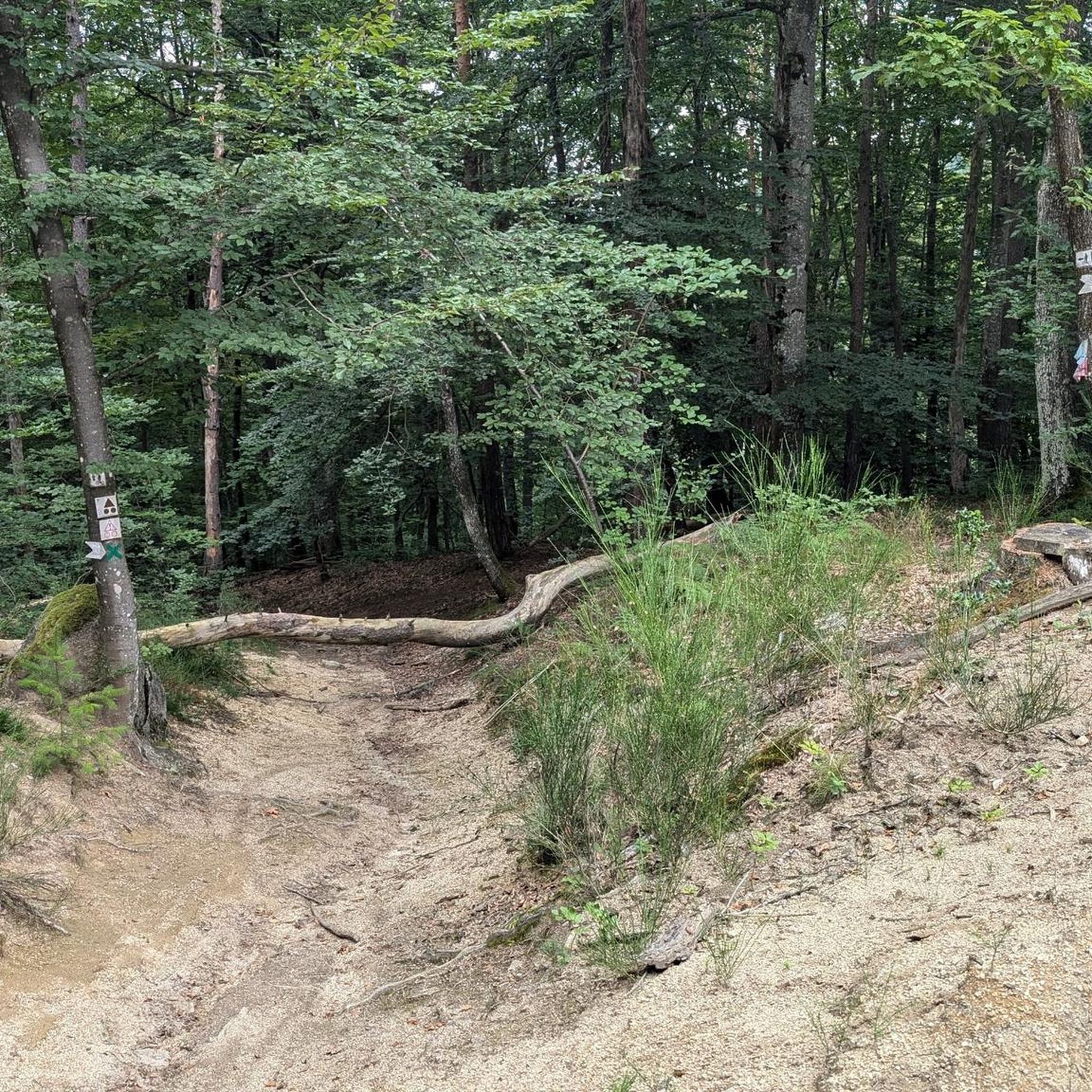
The climb from Ris was very pleasant, winding through the trees and very quiet.
0
0


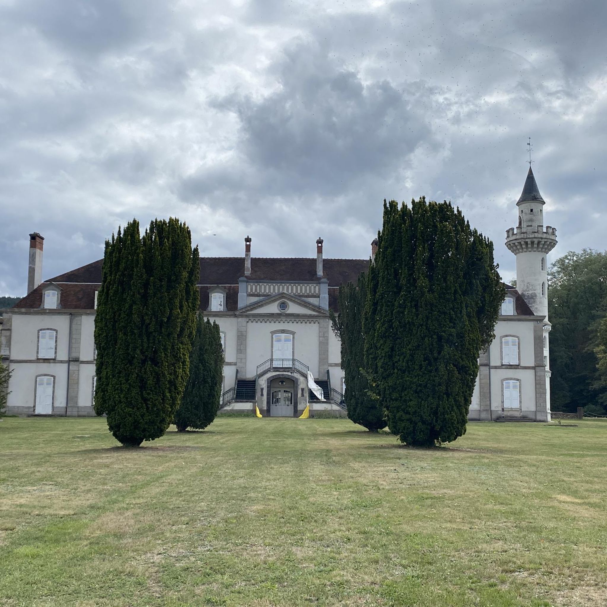
The center has been recently renovated and looks very nice.
0
0
Beautiful Romanesque church in small "mountain" village
0
0

Very beautiful, totally exotic road! It feels like you're somewhere else and you really feel like you've traveled when you come out of the dark woods! For more advice, don’t hesitate to follow us on all networks @chouchou_team
0
0
Frequently Asked Questions
How many road cycling routes are available around Paslières?
There are 18 road cycling routes around Paslières, offering a variety of experiences for different skill levels. These routes are highly rated by the komoot community, with an average score of 3.9 stars.
What kind of terrain can I expect on road cycling routes near Paslières?
The region around Paslières offers diverse terrain, including areas near extinct volcanoes like Puy de Montoncel, extensive forests such as Bois Noirs, and various mountain passes. The surfaces are generally well-paved, making them suitable for road cycling, with options ranging from gentle loops to challenging climbs.
Are there any easy road cycling routes for beginners or families in Paslières?
Yes, Paslières offers several easy routes suitable for beginners or those looking for a more relaxed ride. A great option is the Étang Recourbit – Étang des Graviers loop from La Chauprillade, an easy 33.7 km path that features scenic loops around local ponds and lakes.
Where can I find challenging road cycling routes with significant elevation changes?
For a more challenging experience, consider routes that venture into the mountain passes and volcanic terrain. The Pertuis Pass – Col de Frissonnet loop from La Chauprillade is a difficult 70.7 km route with substantial elevation gain, perfect for experienced cyclists seeking a demanding ride.
What natural features or landmarks can I see along the road cycling routes?
Road cycling routes around Paslières offer access to stunning natural features and historical sites. You can encounter the majestic Puy de Montoncel, explore the Gorges of the Credogne, or visit the Creux de Saillant Waterfall. Historical sites like the Usine du Creux in Thiers also dot the landscape.
Are there scenic viewpoints along the cycling paths in Paslières?
Absolutely. The region is known for its panoramic vistas. You can find routes that pass by viewpoints such as the Panorama of Rez de Sol or Le Rocher de Borbes – Panoramic View and Metal Sculptures, offering breathtaking views of the Auvergne landscape.
What is the typical length and duration of road cycling routes in this area?
Route lengths vary significantly, from shorter loops around 30 km to longer, more challenging rides exceeding 70 km. For example, the Maringues – View of the Allier loop from La Chauprillade is 44.6 km and takes about 1 hour 53 minutes, while the Pertuis Pass – Col de Frissonnet loop is 70.7 km and typically takes over 3 hours.
What do other road cyclists say about cycling in Paslières?
The road cycling routes in Paslières are highly regarded by the komoot community, holding an average rating of 3.9 stars from over 30 reviews. Cyclists often praise the diverse landscapes, from volcanic peaks to dense forests, and the generally well-maintained road surfaces.
Are there any circular road cycling routes available?
Yes, many of the road cycling routes around Paslières are designed as loops, allowing you to start and finish at the same point. Examples include the popular Maringues – View of the Allier loop and the Châteldon Castle – Viewpoint overlooking Châteldon loop.
What is the best time of year for road cycling in Paslières?
The Auvergne-Rhône-Alpes region, including Paslières, is generally excellent for cycling from spring through autumn. Spring offers lush greenery, while autumn provides vibrant foliage. Summer is also popular, but be prepared for warmer temperatures, especially on longer climbs.
Can I find routes that pass through historical sites or villages?
Yes, some routes offer glimpses of local history and culture. For instance, the Châteldon Castle – Viewpoint overlooking Châteldon loop takes you near the historic Châteldon Castle. The region also features sites like the Usine du Creux in Thiers, known as the Cutlery Capital.
Where can I find more information about cycling in the wider Auvergne-Rhône-Alpes region?
For broader information on cycling destinations and routes within the Auvergne-Rhône-Alpes region, you can visit the official France Vélo Tourisme website: francevelotourisme.com.
Most popular attractions around Paslières

Get inspired with the komoot mobile app


Explore more
Browse the best Road cycling routes in other regions.
