The best walks and hikes around Saint-Laurent-Blangy
4.4
(613)
4,780
hikers
19
hikes
Hiking around Saint-Laurent-Blangy offers routes through a landscape characterized by river paths, greenways, and canal-side trails. The area features generally flat terrain with minimal elevation changes, making it accessible for various activity levels. These trails often follow waterways like the Scarpe River and the V362 Greenway. The region's geography is defined by its network of canals, agricultural lands, and accessible mini-forests.
Best hiking trails around Saint-Laurent-Blangy
- The most popular hiking route is Rivage Quay – V362 Greenway Along the Canal…
Last updated: September 1, 2026
4.5
(8)
101
hikers
Easy hike. Great for any fitness level. Easily-accessible paths. Suitable for all skill levels.
4.8
(5)
73
hikers
Easy hike. Great for any fitness level. Easily-accessible paths. Suitable for all skill levels.

Sign up for free
5.0
(3)
48
hikers
4.36km
01:07
10m
10m
Easy hike. Great for any fitness level. Easily-accessible paths. Suitable for all skill levels.
4.6
(7)
32
hikers
9.29km
02:22
30m
30m
Moderate hike. Good fitness required. Easily-accessible paths. Suitable for all skill levels.
3.0
(1)
63
hikers
4.75km
01:13
10m
10m
Easy hike. Great for any fitness level. Easily-accessible paths. Suitable for all skill levels.
Get access to more routes and recommendations from other explorers.
Sign up for free
Already have an account?
Our route recommendations are based on thousands of hikes, rides, and runs completed by other people on komoot.
Start today with a free account
Your next adventure awaits.
Login or Signup


Tips from the Community

A very beautiful little park near Arras
1
0


Saint-Paul and kayaking that walks at the same time as you
1
0

An oasis of peace... The Parc des Grandes Prairies, which of course makes up a small part of Arras in Sainte-Catherine-lès-Arras, is one of the largest natural areas on the continent. It was inaugurated in 1984 and has developed over the years into a true haven for nature lovers looking for relaxation and tranquility.
1
0

These stalls are located in the Parc de la Brayelle.
4
0
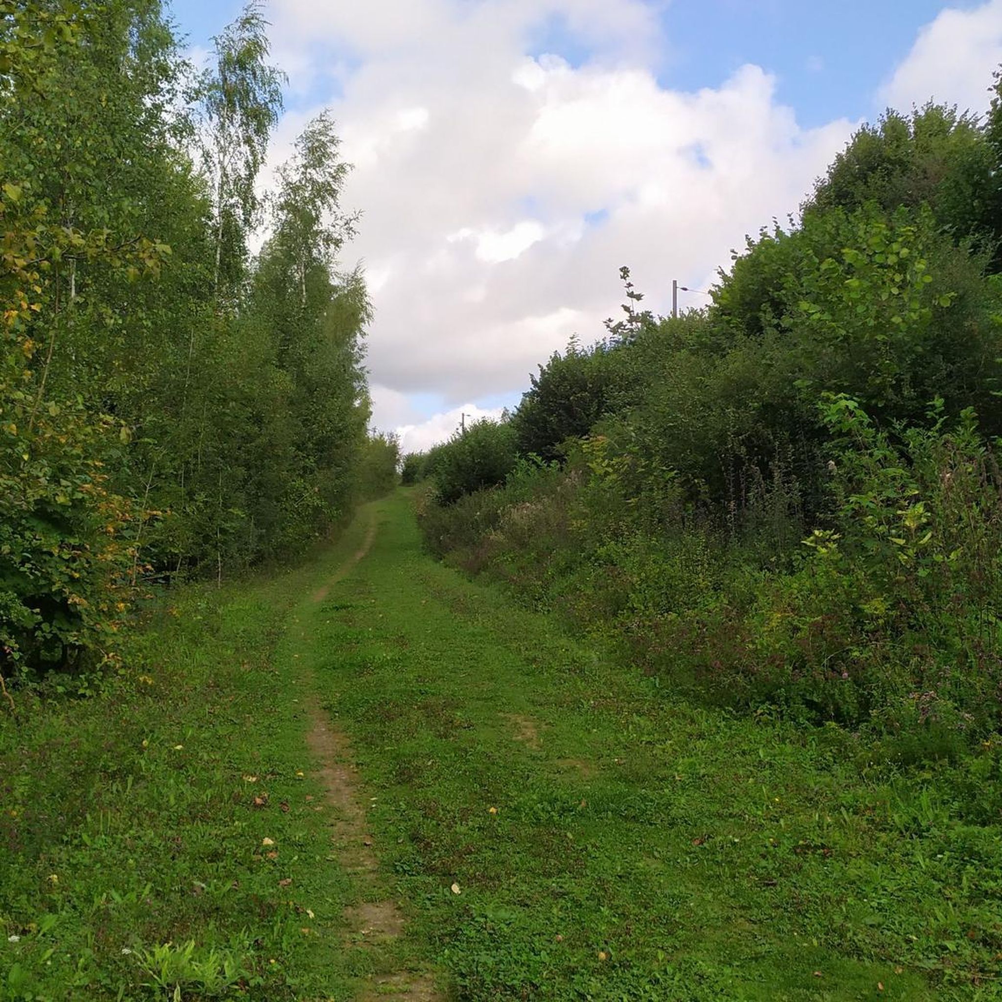
Shady path to join the V362 or towards Ste Catherine
4
0
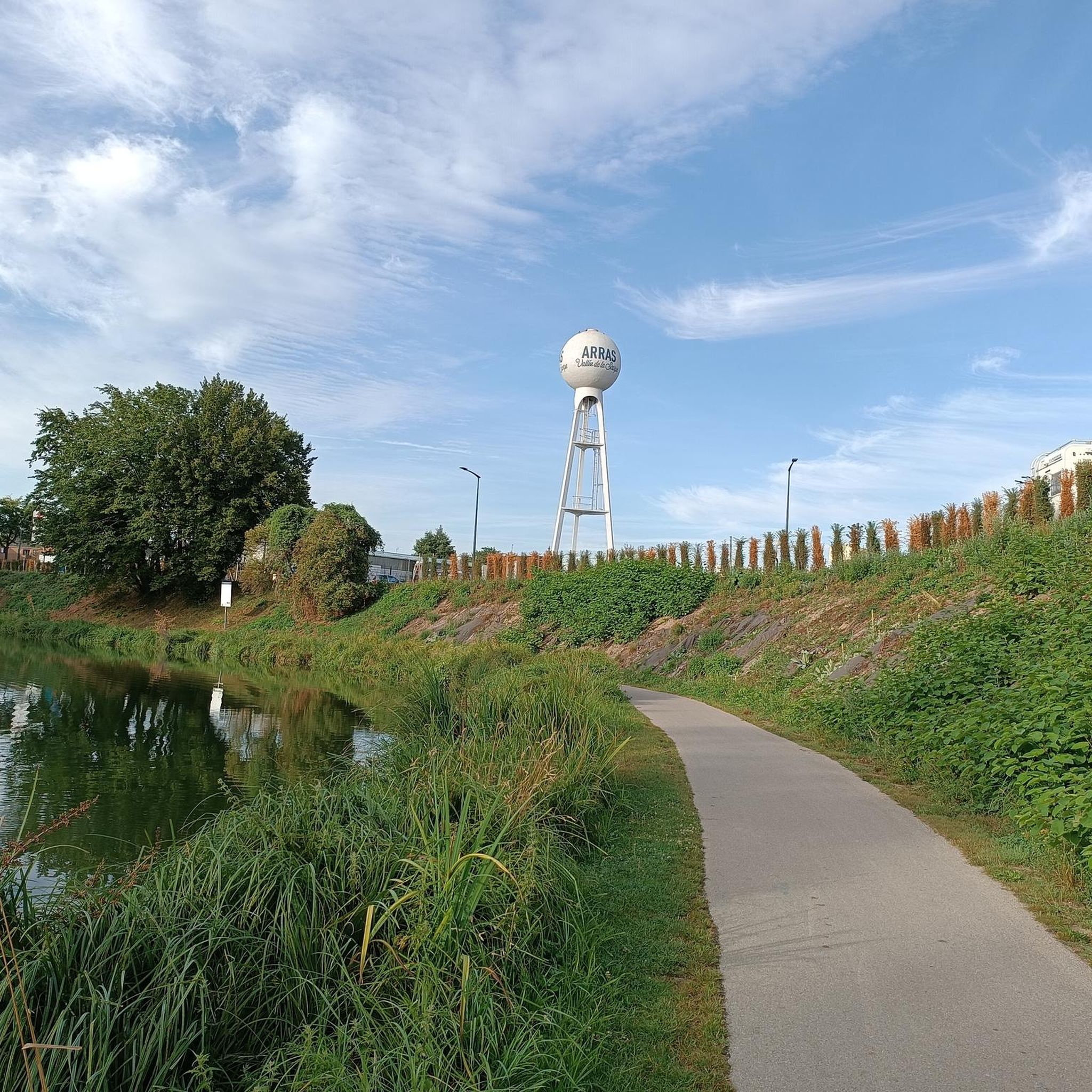
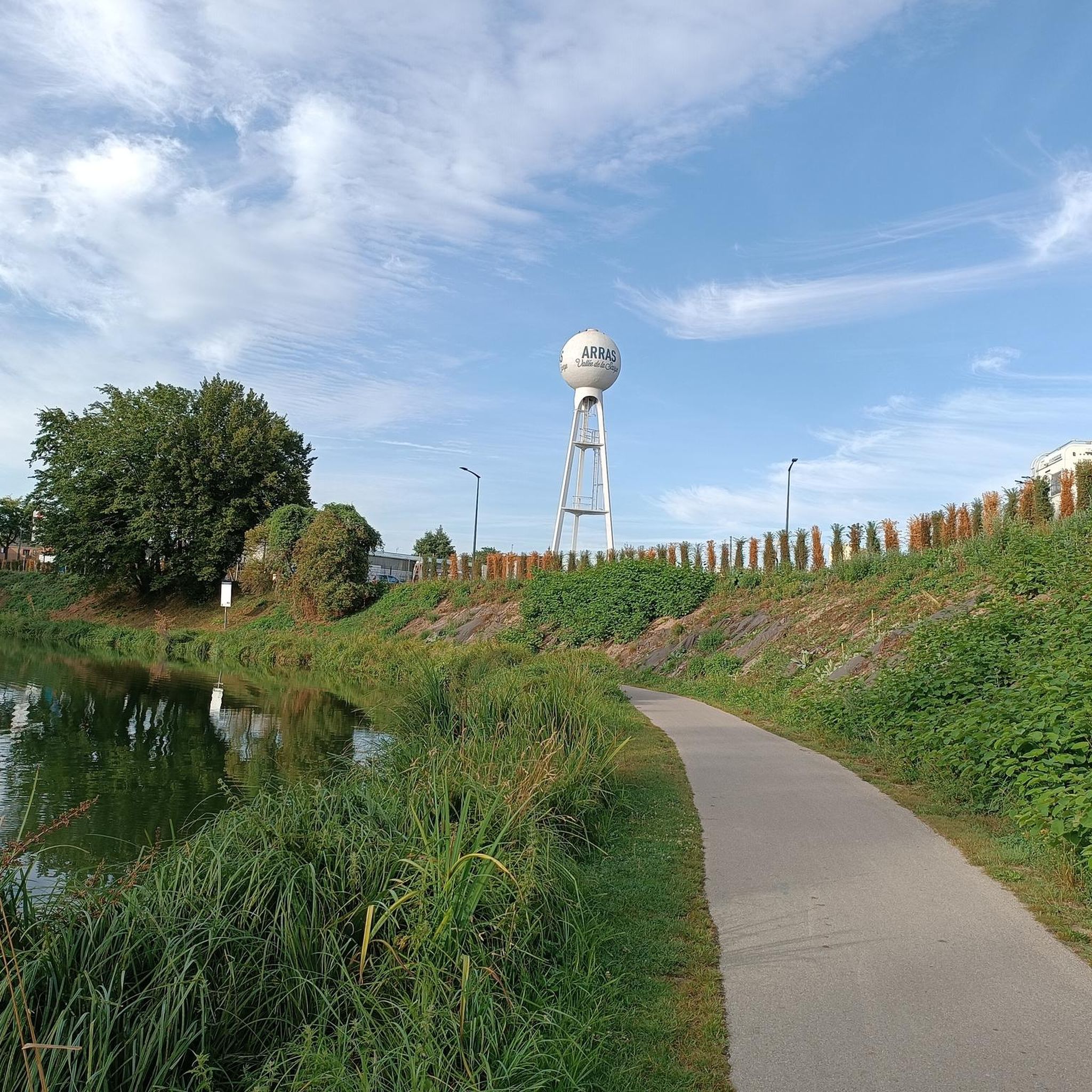
The Scarpe Canal Towpath is a peaceful and leafy greenway created by the Arras Urban Community as part of the Arras Green and Blue Network. This Greenway along the Scarpe Canal towpath aims to ensure continuity of wooded areas between rural and urban areas. The route is interesting and pleasant, as it allows you to safely leave the city, along the water's edge, crossing several natural parks along the towpath. The Greenway starts in Arras, right in the city center, on Rue Louis Blanc or on Boulevard R. Schuman. The end is on Rue de l'Ecluse in Fampoux. This Greenway has a stabilized dolomite surface, suitable for all types of bicycles but not rollerblades.
3
1
The Parc de la Scarpe is a beautiful park in Arras. The park is located between the Boulevard Schuman, Cité Nature and the Scarpe in the valley. The park is 4.5 hectares in size and consists of various gardens and water features. The humid environment is emphasized by several ponds surrounded by reeds and rushes. It's a great place to enjoy nature.
4
0
Frequently Asked Questions
How many hiking trails are available in Saint-Laurent-Blangy?
There are over 15 hiking routes around Saint-Laurent-Blangy, offering a variety of options for different activity levels. The komoot community has mapped 17 trails in total.
Are there easy hiking trails suitable for beginners in Saint-Laurent-Blangy?
Yes, Saint-Laurent-Blangy is well-suited for beginners, with 11 out of 17 routes classified as easy. These trails typically follow flat river paths and greenways. An example is the V362 Greenway Along the Canal loop from Arras, which is 2.9 miles (4.7 km) long.
What are the typical lengths of hiking trails around Saint-Laurent-Blangy?
Hiking trails in Saint-Laurent-Blangy vary in length. You can find shorter options like the V362 Greenway Along the Canal loop from Arras at 2.9 miles (4.7 km), up to longer routes such as The Scarpe by bike – Chemin de Halage loop from Arras, which is 7.0 miles (11.2 km).
Are there any circular hiking routes in Saint-Laurent-Blangy?
Many of the trails in Saint-Laurent-Blangy are designed as loops, providing convenient circular routes. For instance, the Rivage Quay – V362 Greenway Along the Canal loop from Saint-Laurent-Blangy is a popular circular option.
What kind of terrain can I expect on hikes in Saint-Laurent-Blangy?
The terrain around Saint-Laurent-Blangy is generally flat, characterized by river paths, greenways, and canal-side trails. You'll mostly encounter consistent gradients with minimal elevation changes, making for comfortable walking.
Are the hiking trails in Saint-Laurent-Blangy suitable for families with children?
Yes, the predominantly flat and well-maintained greenways and canal paths make many trails in Saint-Laurent-Blangy very suitable for families. The easy difficulty of many routes ensures a pleasant experience for all ages.
Can I bring my dog on the hiking trails in Saint-Laurent-Blangy?
Most public trails in the Saint-Laurent-Blangy area are dog-friendly, especially the greenways and canal paths. It's always recommended to keep your dog on a leash and clean up after them to ensure a pleasant experience for everyone.
What are some interesting landmarks or attractions to see near the hiking trails?
While hiking, you can explore several significant landmarks nearby. Consider visiting the Canadian National Vimy Memorial or the ruined church of Ablain-Saint-Nazaire. For natural sights, the Marais de Maroeuil offers a different kind of scenery.
What do other hikers say about the trails in Saint-Laurent-Blangy?
The trails in Saint-Laurent-Blangy are highly regarded by the komoot community, holding an average rating of 4.5 stars from over 500 reviews. Hikers often praise the peaceful canal-side walks and the accessibility of the routes.
When is the best time of year to go hiking in Saint-Laurent-Blangy?
The trails in Saint-Laurent-Blangy are enjoyable year-round due to their flat nature. Spring and autumn offer pleasant temperatures and scenic views, while summer is great for longer daylight hours. Even in winter, the paths are generally accessible.
Are there options for winter hiking in Saint-Laurent-Blangy?
Yes, the flat terrain and well-maintained paths along the canals and greenways make Saint-Laurent-Blangy suitable for winter hiking. While some paths might be muddy after rain or snow, they generally remain accessible for a refreshing winter walk.
What should I wear for hiking in Saint-Laurent-Blangy?
Given the generally flat terrain, comfortable walking shoes are usually sufficient. Layered clothing is advisable to adapt to changing weather, and a waterproof jacket is always a good idea, especially outside of summer.
Is parking available near the trailheads in Saint-Laurent-Blangy?
Yes, parking is generally available near popular trailheads and access points in and around Saint-Laurent-Blangy, particularly in urban areas or near recreational facilities along the canals and greenways.
Most popular routes around Saint-Laurent-Blangy
Most popular attractions around Saint-Laurent-Blangy

Get inspired with the komoot mobile app


Explore more
Browse the best Hikes in other regions.
