The best road cycling routes around Malvillers
3.9
(13)
187
riders
77
rides
Road cycling routes around Malvillers are situated in the Haute-Saône department of eastern France, a region characterized by rolling countryside, dense forests, and winding rivers. The terrain offers a mix of challenging hilly sections and gentler, well-paved roads. Elevations in Malvillers range from 248 meters to 359 meters, providing varied gradients for road cyclists. This diverse landscape supports a range of cycling experiences.
Best road cycling routes around Malvillers
- The most popular road cycling route is Pertes de la Rigotte…
Last updated: October 21, 2026
5.0
(1)
9
riders
30.6km
01:27
350m
350m
Moderate road ride. Good fitness required. Mostly well-paved surfaces and easy to ride.
6
riders
33.9km
01:35
350m
350m
Moderate road ride. Good fitness required. Some segments of this route may be unpaved and difficult to ride.

3
riders
Easy road ride. Great for any fitness level. Mostly well-paved surfaces and easy to ride.
2
riders
33.9km
01:55
400m
390m
Moderate road ride. Good fitness required. Mostly well-paved surfaces and easy to ride.
4
riders
29.9km
01:40
410m
410m
Moderate road ride. Good fitness required. Some segments of this route may be unpaved and difficult to ride.
Get access to more routes and recommendations from other explorers.
Already have an account?
Our route recommendations are based on thousands of hikes, rides, and runs completed by other people on komoot.
Start today with a free account
Your next adventure awaits.


Tips from the Community

However, if you are out and about during daylight hours and are thirsty, you will always find something in the easily accessible cemeteries of French villages.
0
0


Abbey built between 1150 and 1220 which welcomed Cistercian monks. It was one of the largest and most beautiful in the region because it had the support of many local lords. History, however, did not do it any favors and it suffered plague, famine, wars including that of the Hundred Years and numerous pillagings until the 16th century. The monastery then came under commendation (temporary administration and perception of the abbey's profits by a person who had no obligation to manage the abbey), which did not improve its situation, then new looting and fires took place at the time. during the 16th and 17th centuries. During the 18th century, a new cloister and then a new monastic palace were built but the Revolution passed through and the abbey saw its last hour sounded. Today only remains of the 15th century cloister, a wall of the church transept, the doorman's accommodation and some buildings of the convent which were transformed into a farm.
3
0
Here the river disappears Rigotte in the mountain, depending on the water level, she can still make it to a cave opening in a rock wall, but the stream bed is often dry a few hundred meters before that. For a few kilometers you don't see any watercourse, only at Fouvent le Bas a river appears again and flows a few kilometers further with the name Vannon before it flows into the Saone. From the junction you continue on a dirt road, you have to walk the last few meters to the seepage point, the path is less suitable for racing bike shoes, especially after rain.
0
0


Inconspicuous but very useful!
0
0
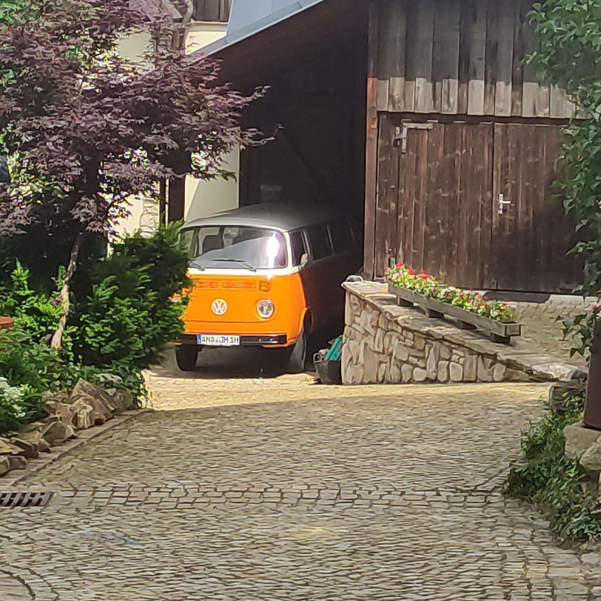
I couldn't find anything (!) about the fountain on the internet. In any case, the city has several such water points. Was a treat at 1:30 in the morning.
0
0

Frequently Asked Questions
How many road cycling routes are available around Malvillers?
There are over 70 road cycling routes around Malvillers documented on komoot. These routes offer a diverse range of experiences, from moderate rides to more challenging journeys, catering to various skill levels.
What kind of terrain can I expect on road cycling routes around Malvillers?
The region around Malvillers, situated in the Haute-Saône department, offers diverse terrain. You can expect rolling countryside, dense forests, and winding roads. Elevations in Malvillers itself range from 248m to 359m, providing a mix of challenging hilly sections and gentler, well-paved roads suitable for different cycling preferences.
Are there routes suitable for beginners or those looking for an easier ride?
Yes, the area offers routes suitable for all levels. While many routes are moderate, there are 8 easy road cycling routes around Malvillers. These often feature gentler, winding roads with minimal elevation gain, and you might find sections of the 'Voie Bleue' or local greenways ideal for a more relaxed pace.
Are there challenging road cycling routes for experienced riders?
Absolutely. For experienced cyclists seeking a challenge, there are 4 difficult road cycling routes around Malvillers. These routes often include significant ascents and longer distances. For example, the Stone Bridge of Port-sur-Saône – Historic Center of Marnay loop from Combeaufontaine is a demanding 116.4-mile route with over 1300m of elevation gain.
What are some notable landmarks or natural features I might see along the routes?
Road cycling routes around Malvillers often pass through picturesque villages and offer views of natural features. You might encounter the Val de Saône with its expansive meadows and diverse birdlife, or ride alongside rivers like the Saône and Ognon. The La Basse-Vaivre – Stone Bridge of Port-sur-Saône loop from Combeaufontaine, for instance, offers extensive riding through the regional landscape, passing by the historic Stone Bridge of Port-sur-Saône.
Are there any loop routes available for road cycling?
Yes, many road cycling routes around Malvillers are designed as loops, allowing you to start and finish in the same location. An example is the Mount Olivotte loop from Bourguignon-lès-Morey, a 21-mile trail that takes you through the area around Mount Olivotte.
What do other road cyclists enjoy most about cycling in Malvillers?
The road cycling routes around Malvillers are highly rated by the komoot community, with an average score of 4.4 stars from over 5 reviews. Cyclists often praise the varied terrain, which includes both challenging hilly sections and gentler roads, as well as the scenic rolling countryside and dense forests.
Is the region around Malvillers known for cycling events?
Yes, the Haute-Saône department, where Malvillers is located, is recognized as an excellent cycling region and has frequently hosted major cycling events, including stages of the Tour de France. This reputation is built on its varied terrain and well-maintained cycling infrastructure.
Are there dedicated cycle paths or greenways in the area?
The Haute-Saône department offers a vast network of loops and dedicated cycle paths. A significant highlight is the 'Voie Bleue' cycle route, which traverses a considerable portion of Haute-Saône along the Saône river. The department also features greenways, often developed on former railway lines or towpaths, providing peaceful and accessible routes.
What is the best time of year for road cycling around Malvillers?
While specific weather conditions vary, the Bourgogne-Franche-Comté region generally offers pleasant cycling conditions during spring, summer, and early autumn. These seasons typically provide milder temperatures and less precipitation, making for a more enjoyable experience on the diverse terrain.
Are the roads generally low-traffic for cycling?
Many cycling routes in Haute-Saône utilize low-traffic roads and well-paved surfaces, contributing to a pleasant and safe cycling experience. The department boasts 21 signposted cycling routes carefully selected for their unspoiled landscapes and low traffic levels.
Where can I find more information about cycling in Haute-Saône?
For broader information on cycling in the Haute-Saône department, including details on various cycle loops and the 'Voie Bleue', you can visit the official tourism website: Hautes-Saône Tourisme.

Get inspired with the komoot mobile app


Explore more
Browse the best Road cycling routes in other regions.
