The best walks and hikes around Saint-Bonnet-De-Salers
4.6
(503)
4,962
hikers
100
hikes
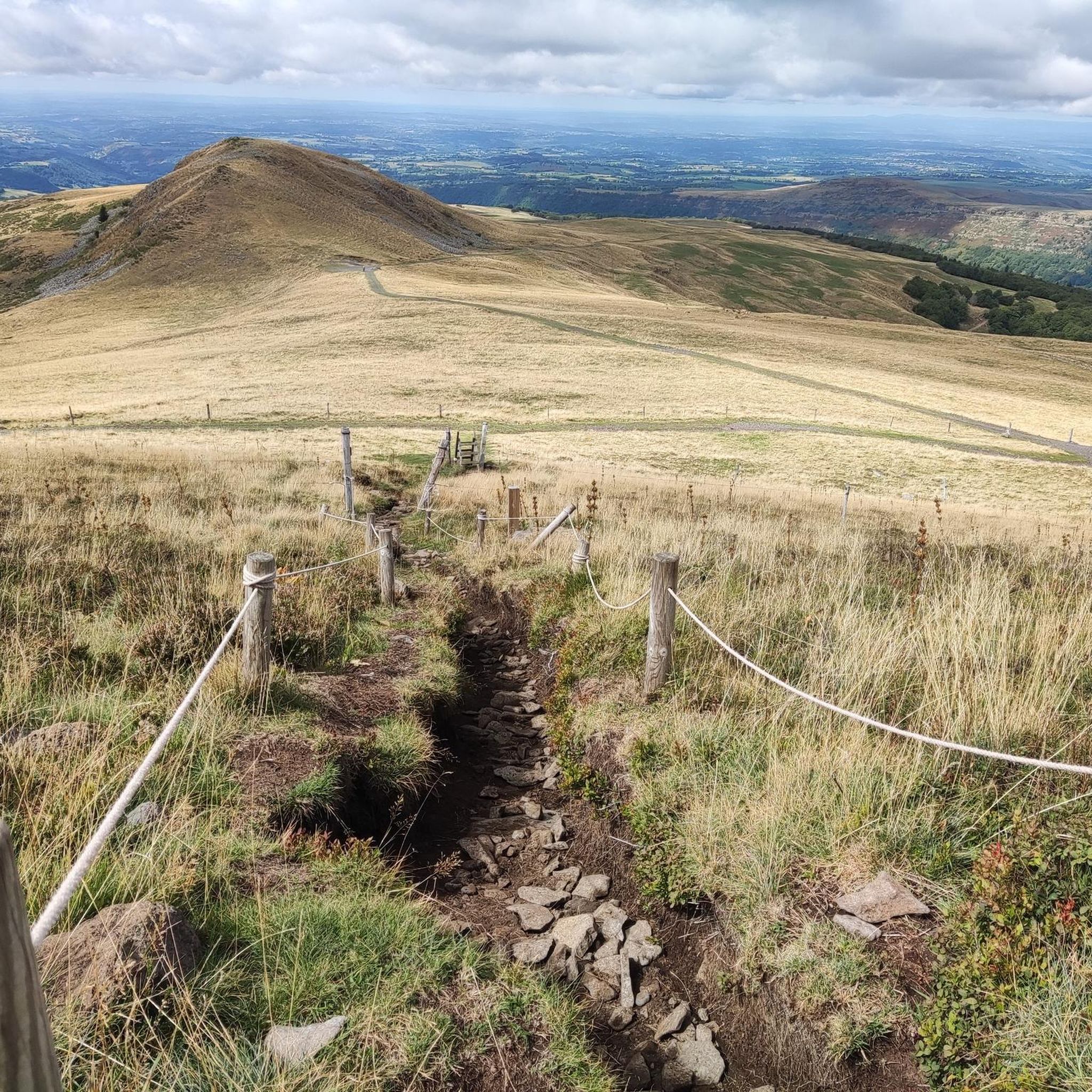
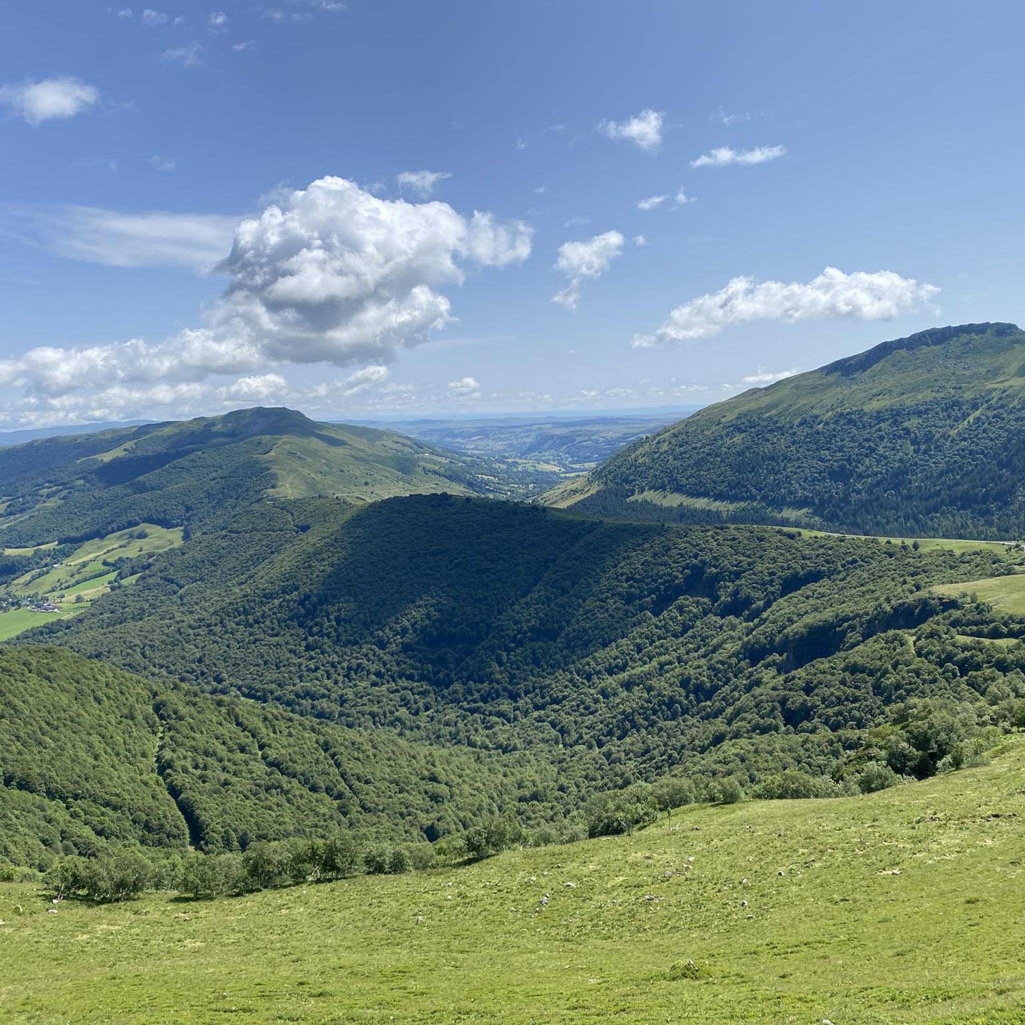
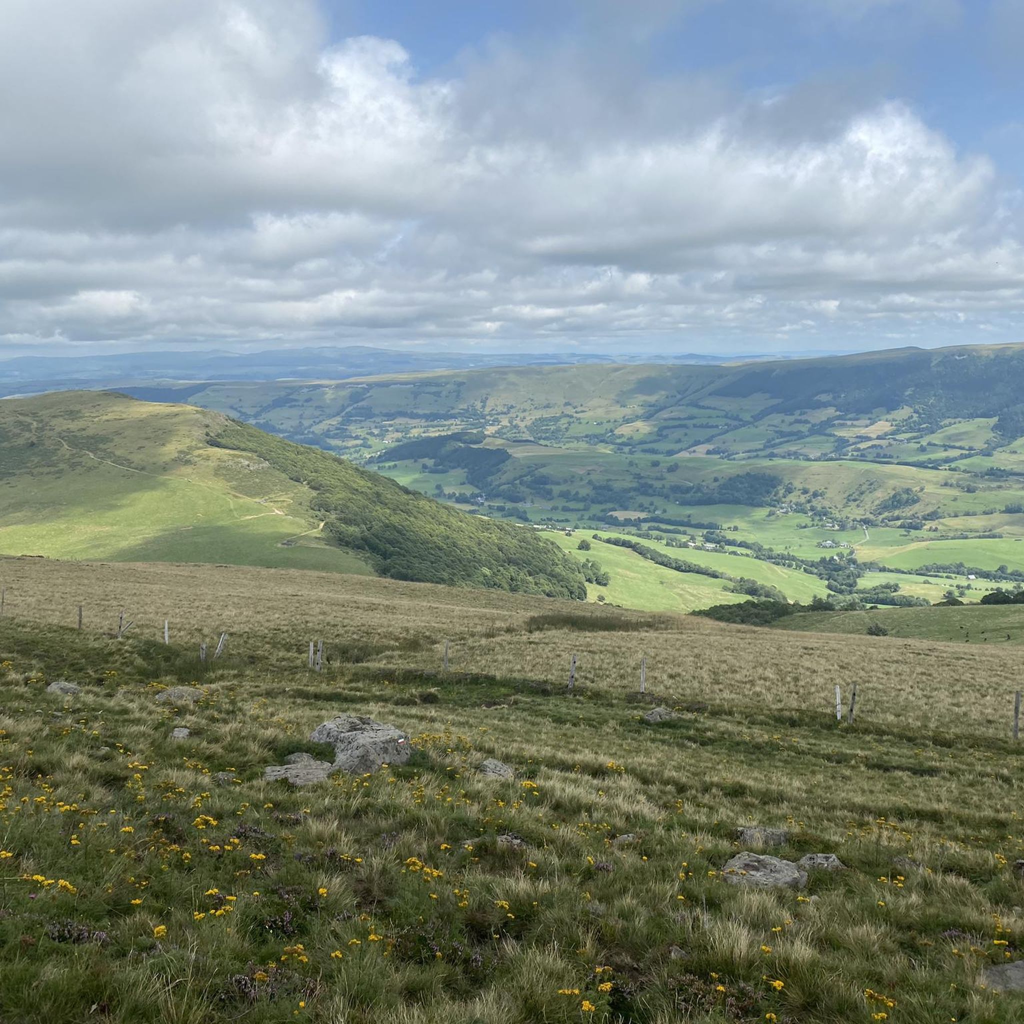
Hiking around Saint-Bonnet-De-Salers offers access to a varied and unspoilt countryside within the Cantal department of France. The region is characterized by its volcanic origins, presenting a topography of mountains, plateaus, and valleys. Lush, fine-grass pastures provide grazing grounds, while wooded volcanic terrains and preserved forests offer diverse hiking environments. Natural features include the Cascade de Liadouze and Cascade de Salins, alongside panoramic views of the Monts du Cantal.
Best hiking trails around Saint-Bonnet-de-Salers
- The most popular hiking route is Shadow Rock – Enfloquet Notch loop from Le Falgoux, a 8.2 miles (13.2 km) trail that takes 4 hours 6 minutes to complete. This moderate route features significant elevation gain through varied terrain.
- Another top favourite among local hikers is Neronne Pass – Biaguin Waterfall loop from Col de Néronne, a moderate 9.3 miles (15.0 km) path. This trail leads through scenic landscapes, including the Biaguin Waterfall.
- Local hikers also love the Salers – Esplanade Barrouze loop from Salers, a 3.4 miles (5.6 km) trail leading through pastoral settings, often completed in about 1 hour 31 minutes.
- Hiking around Saint-Bonnet-De-Salers is defined by rich pastures, forested volcanic terrain, and a mix of mountain, plateau, and valley trails. The network offers options for different ability levels, from easy walks to more challenging ascents.
- The routes in Saint-Bonnet-De-Salers are highly rated by the komoot community with an average score of 4.6 stars from over 400 reviews. More than 3,900 hikers have used komoot to explore Saint-Bonnet-De-Salers's varied terrain.
Last updated: June 29, 2026
4.8
(14)
99
hikers
5.93km
01:44
160m
160m
Easy hike. Great for any fitness level. Easily-accessible paths. Suitable for all skill levels.
4.7
(9)
64
hikers
11.9km
03:46
420m
420m
Moderate hike. Good fitness required. Mostly accessible paths. Sure-footedness required.

Sign up for free
4.3
(3)
9
hikers
15.0km
04:49
620m
620m
Moderate hike. Good fitness required. Easily-accessible paths. Suitable for all skill levels.
4.0
(1)
13
hikers
5.71km
01:34
80m
80m
Easy hike. Great for any fitness level. Easily-accessible paths. Suitable for all skill levels.
4.5
(2)
9
hikers
8.01km
02:10
110m
110m
Moderate hike. Good fitness required. Easily-accessible paths. Suitable for all skill levels.
Get access to more routes and recommendations from other explorers.
Sign up for free
Already have an account?
Our route recommendations are based on thousands of hikes, rides, and runs completed by other people on komoot.
Start today with a free account
Your next adventure awaits.
Login or Signup

Tips from the Community

Passage mysterious like in the Middle Ages
1
0

Either stressful or relaxed from Puy Mary.
0
0

You shouldn't miss the detour here. From here you have a wonderful, wide view over the Auvergne landscape. Three themed trails also start from here.
2
0

Salers is a municipality in the Cantal department in the Auvergne-Rhône-Alpes region. The town is a completely preserved small town from the Renaissance period, with private and public buildings, city walls, defensive towers and a church. It was included in the association of the most beautiful villages in France. Despite its small population of around 300 inhabitants, the town is a historical, cultural and agricultural center in the sparsely populated mountain region of the Monts du Cantal. Source: https://de.wikipedia.org/wiki/Salers
3
0

From Salers, a pass with low percentages but with a magnificent view of the Santoire valley.
0
0

Classified among the “Most Beautiful Villages of France”, Salers is perched at an altitude of 950 meters, in the heart of the Cantal mountains. Its reputation is due to its terroir but also to its medieval heritage. Discover the volcanic stones of this small town and don't miss out on tasting Salers meat, renowned for its unique flavor.
1
0
Frequently Asked Questions
How many hiking trails are available in Saint-Bonnet-De-Salers?
There are over 90 hiking trails around Saint-Bonnet-De-Salers, catering to various skill levels. You'll find a diverse range of routes, from easy strolls to more challenging ascents, all set within the beautiful volcanic landscapes of the Auvergne Volcanoes Regional Natural Park.
What kind of landscapes can I expect to see while hiking in Saint-Bonnet-De-Salers?
The region offers a rich tapestry of landscapes shaped by its volcanic origins. You'll traverse lush, fine-grass pastures where Salers cattle graze, wooded volcanic terrains, and preserved forests. Expect panoramic views of the Monts du Cantal, including prominent peaks like Puy Mary, Puy Griou, and Plomb du Cantal, along with picturesque natural features like waterfalls and clear springs.
What do other hikers say about the trails in Saint-Bonnet-De-Salers?
The hiking routes in Saint-Bonnet-De-Salers are highly rated by the komoot community, with an average score of 4.6 stars from over 400 reviews. Hikers often praise the varied terrain, the stunning views of the Monts du Cantal, and the well-preserved natural environment.
Are there easy or family-friendly hiking options in Saint-Bonnet-De-Salers?
Yes, Saint-Bonnet-De-Salers offers several easy and family-friendly routes. A pleasant option is the Salers – Esplanade Barrouze loop from Salers, a 5.6 km trail through pastoral settings that takes about 1 hour 30 minutes. There are 27 easy routes in total, perfect for a relaxed outing.
Can I find challenging hikes in the Saint-Bonnet-De-Salers area?
Absolutely. For experienced hikers seeking a challenge, the region provides more strenuous options. For example, the Shadow Rock – Enfloquet Notch loop from Le Falgoux is a moderate 13.2 km trail with significant elevation changes, offering a rewarding experience. There are 21 difficult routes available for those looking for a more demanding adventure.
Are there any hikes that feature waterfalls in Saint-Bonnet-De-Salers?
Yes, the region is home to beautiful waterfalls. The Neronne Pass – Biaguin Waterfall loop from Col de Néronne is a moderate 15.0 km route that specifically leads through scenic landscapes, including the Biaguin Waterfall. You can also discover the Cascade de Liadouze and Cascade de Salins on shorter walks.
What natural landmarks or scenic viewpoints can I discover on hikes near Saint-Bonnet-De-Salers?
The area is rich in natural landmarks and scenic viewpoints. You can hike to the Puy Mary Summit, a prominent peak offering breathtaking panoramic views. Other notable spots include Puy Chavaroche, Puy Violent, and various mountain passes like Pas de Peyrol Pass and Neronne Pass, all providing stunning vistas of the volcanic landscape.
Are there circular walks available in Saint-Bonnet-De-Salers?
Yes, many of the trails in Saint-Bonnet-De-Salers are designed as circular routes, allowing you to start and end at the same point. Examples include the Salers – Salers loop from Salers, an 8 km moderate hike, and the Tour – Salers loop from Salers, a shorter 2.9 km easy option. The local PR Saint-Bonnet-de-Salers is also an 8 km loop. These are ideal for exploring without needing to retrace your steps.
What is the best time of year to go hiking in Saint-Bonnet-De-Salers?
The best time for hiking in Saint-Bonnet-De-Salers is generally from spring through autumn (May to October). During these months, the weather is milder, and the lush pastures are vibrant with wild flora. Summer offers warm days perfect for exploring, while autumn brings beautiful colors to the forests. Some higher altitude trails might be affected by snow in late autumn and early spring.
Are there any cultural or historical sites to visit near the hiking trails?
Yes, just 4 km from Saint-Bonnet-De-Salers lies the medieval village of Salers. This charming village is an attraction in itself, featuring historic architecture made of volcanic stone and a 12th-century church. You can also visit the Maison de la Salers museum, dedicated to the iconic local cattle breed. Many hikes, like the Salers – Esplanade Barrouze loop from Salers, start directly from or pass through the village.
Where can I find more information about the PR Saint-Bonnet-de-Salers trail?
The PR Saint-Bonnet-de-Salers is an 8 km loop that takes visitors through the heart of the Salers cattle breeding region. For more detailed information about this specific trail, including maps and descriptions, you can visit the local tourism office's page: salers-tourisme.fr.
Most popular routes around Saint-Bonnet-De-Salers
Most popular attractions around Saint-Bonnet-De-Salers

Get inspired with the komoot mobile app


Explore more
Browse the best Hikes in other regions.
